Arthur’s Pike
Walk Date – 24th March 2020
Distance – 7.3 miles
Weather – Sunny and warm, no wind, hazy
Take note of the date of this walk, one day before the legislation to deprive us of our civil liberties went through Parliament on 25th March 2020. Hopefully that statement will nip in the bud any potential virtue signalling.
Keeping to our current strategy we took a walk over Moor Divock this afternoon, starting just outside Helton, barely a five minute drive from home. We have to drive further than that to do the shopping in Penrith, when there’s owt on’t shelves these days that is. Together with Heughscar Hill, this is an area used mostly by folks living in neighbouring villages for walking their dogs. To begin with we were only going to walk to The Cockpit stone circle but the afternoon weather was lovely so we carried on up to Arthur’s Pike. About four or five cars were parked up on the farm access road where walkers and dogs were either coming back to their vehicles or just starting out across the numerous paths with everyone keeping their distance, albeit with plenty of waving and shouts of Hi/Hello/How’s things and so on and so forth. That was about it as far as conversation was concerned, yelling at the top of one’s voice isn’t an easy way to talk to anyone. After months of heavy rain, strong winds and storms finally we were able to be out in wonderful weather which, by some malevolent stroke of fate, just happened to coincide with the onset of the current restrictions. Now isn’t that the unkindest cut of all? Hat tip to Shakespeare for the quote.
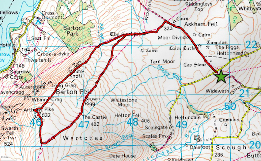
Route
Farm access road above Helton village – Moor Divock – The Cockpit stone circle – Brown Rigg – Arthur’s Pike – White Knott – The Cockpit stone circle – farm access road above Helton village
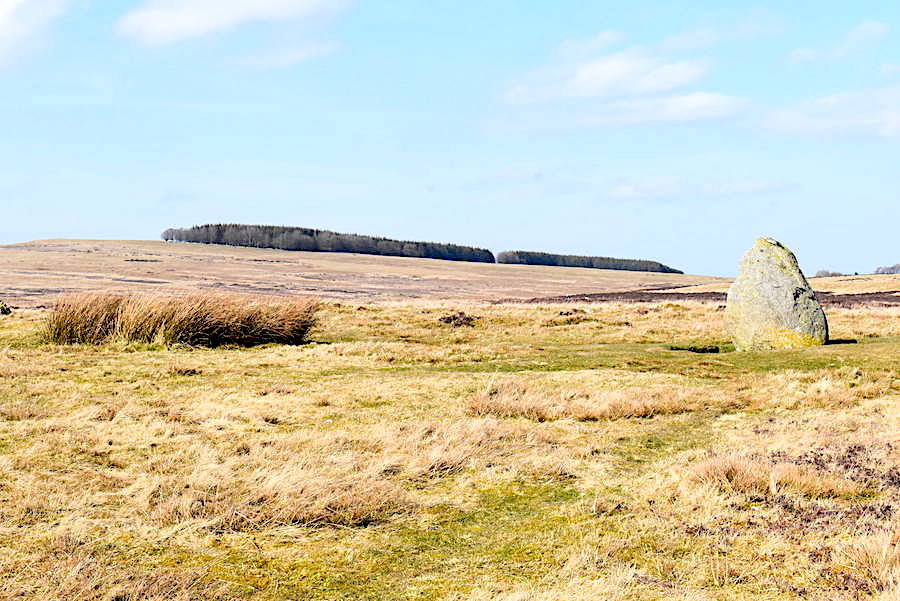
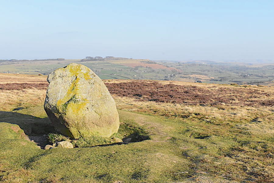
Just a few paces from the farm access road we pass the Cop Stone, one of the many intriguing upright stones which are dotted around the moor. Its thought to have been part of a very large, and very ancient, stone circle which once stood on this moor. Such standing stones as this are now the only visible reminders of that ancient circle.
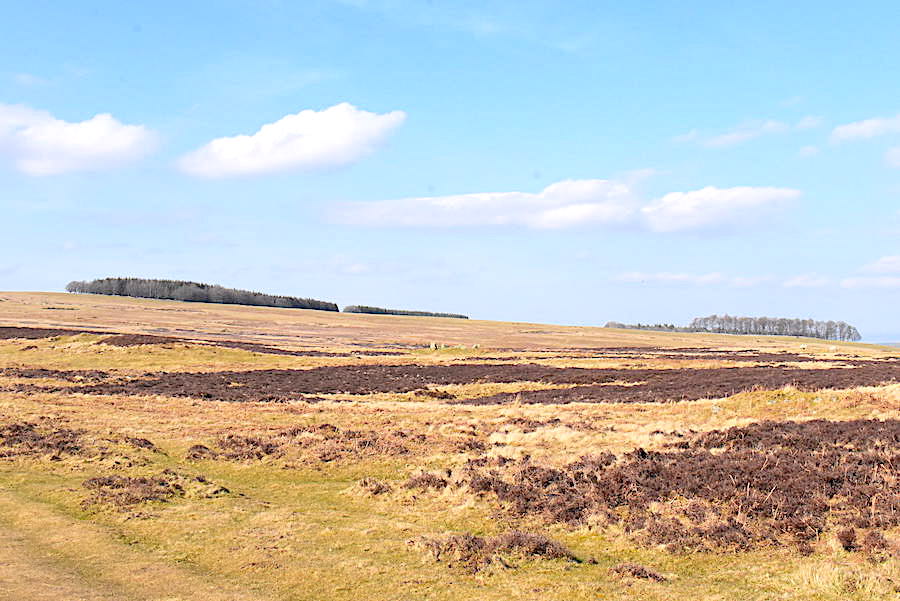
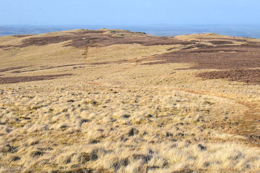
Looking towards Heughscar Hill on a really lovely afternoon.
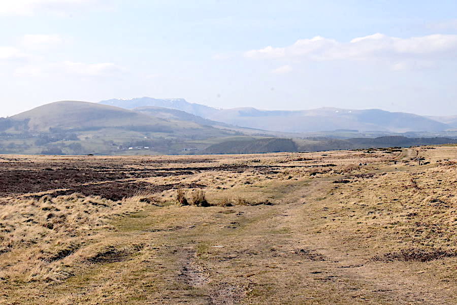
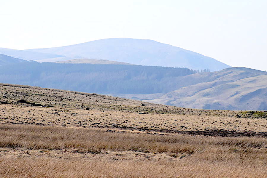
The well used path which crosses the moor between Helton and Pooley Bridge. One walker on the path some distance ahead of us and a couple sitting to the left of it, a zoom in will be needed to see them though. The two Mell fells occupy the middle distance with Blencathra and the northern fells on the skyline.
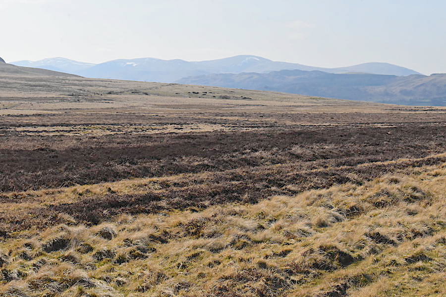
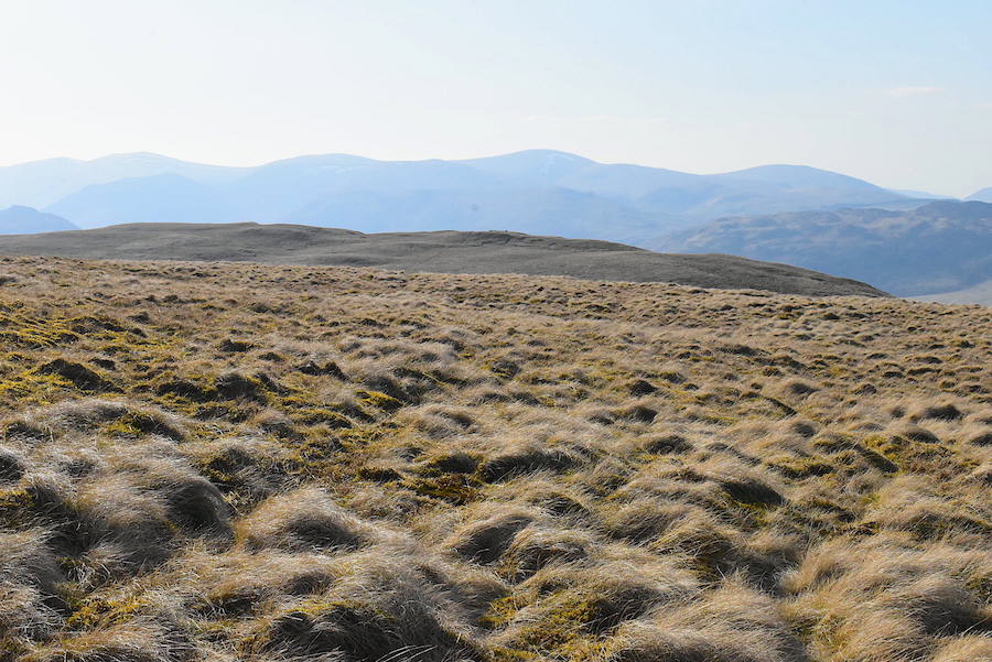
The Dodds and Clough Head appear on the skyline and we’ve just had a shouted conversation with a lady and her dog as she made her way back to her car. We all agreed that the recent windy conditions had done a good job of drying out the ground and how nice it was to walk on mud free paths once again. She had opted to take the dog for a walk while her husband had gone to see if there was anything to be had in the supermarkets in Penrith. Eventually our chat comes to an end and we go our separate ways. We’re heading for a junction in the path which will lead us to the stone circle …..
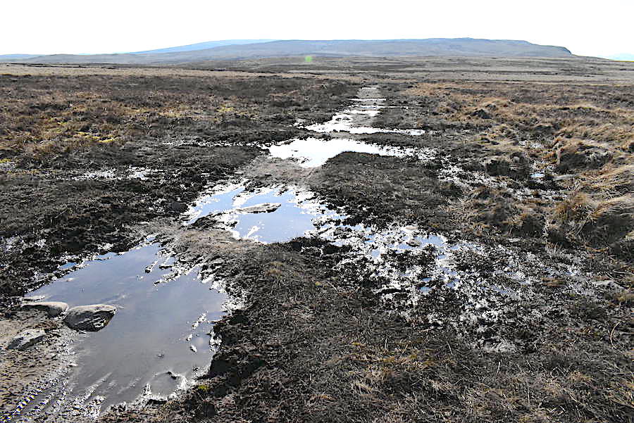
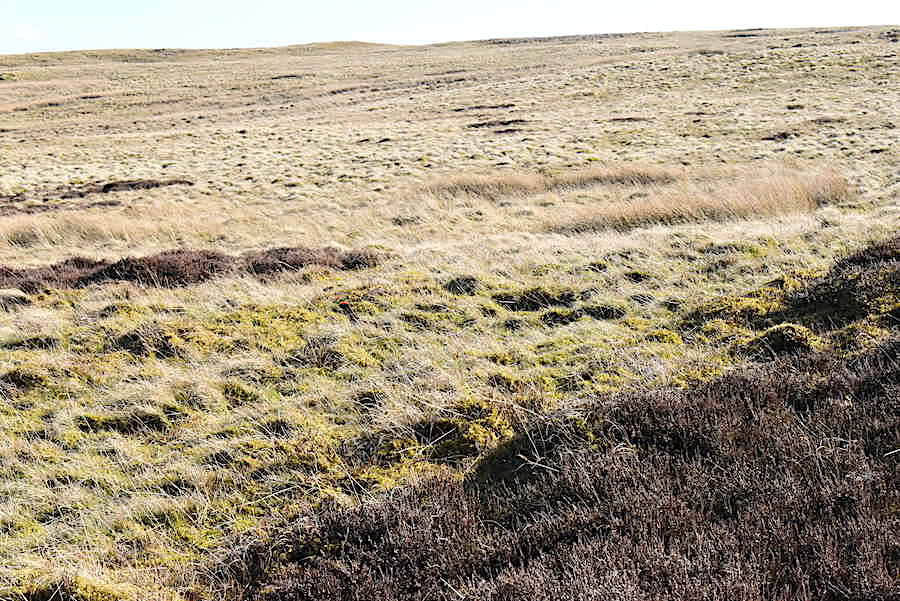
….. although that particular path still has a great deal of drying out to do, bog hopping skills to the fore across here. It improved a great deal though some distance further along. Arthur’s Pike on the skyline.
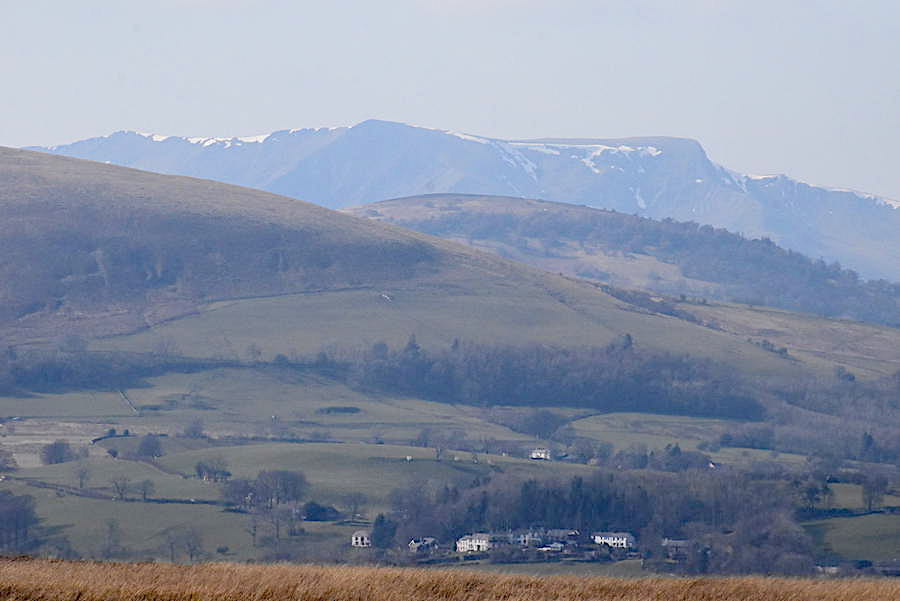
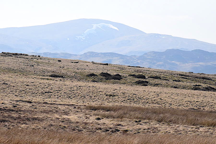
From the stone circle we took the old Roman road over Barton Fell and began the steady climb up to Arthur’s Pike. Having remembered to bring the zoom lens out it came for this shot of Blencathra behind the two Mell fells. The snow up there is doomed if this warm weather continues.
While the zoom lens was still attached I took a couple more shots, this one of Clough Head …..
….. to the left of which is Great Dodd.
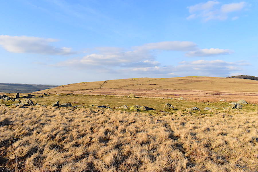
A little scurry in the grass off to my left and I turned just in time to catch a passing glimpse of a red grouse. Well camouflaged in the shot but the red ‘eyebrows’ gave the game away. Zoom in to be able to see it. No point in taking any shots looking forward, the sun was directly in our eyes and even if it wasn’t there’s only the big grassy, and mostly uninteresting, lump of Loadpot Hill ahead of us.
We plod on, negotiating the occasional boggy patch on the way, and take a break by the boundary stone. It became increasingly warm work and by the time we reached the boundary stone our faces were in need of a good mop down. At the stone circle jackets had been removed and tied around our waists, I had been brave enough to bring my lightweight summer trousers out of hibernation together with a short sleeved t-shirt but even so I was very hot. Poor J, still wearing his winter weight trousers, out of habit, and a long sleeved t-shirt, was practically melting in the unexpected warmth. Thank goodness we hadn’t bothered with packs.
From the boundary stone we walked on a little further before crossing over to join the path between Arthur’s Pike and Loadpot Hill from where I took this shot looking over to Arthur’s Pike.
Another look over to the Dodds and Clough Head as we cross over to Arthur’s Pike …..
….. and then across the Mell fells to Blencathra and the northern fells.
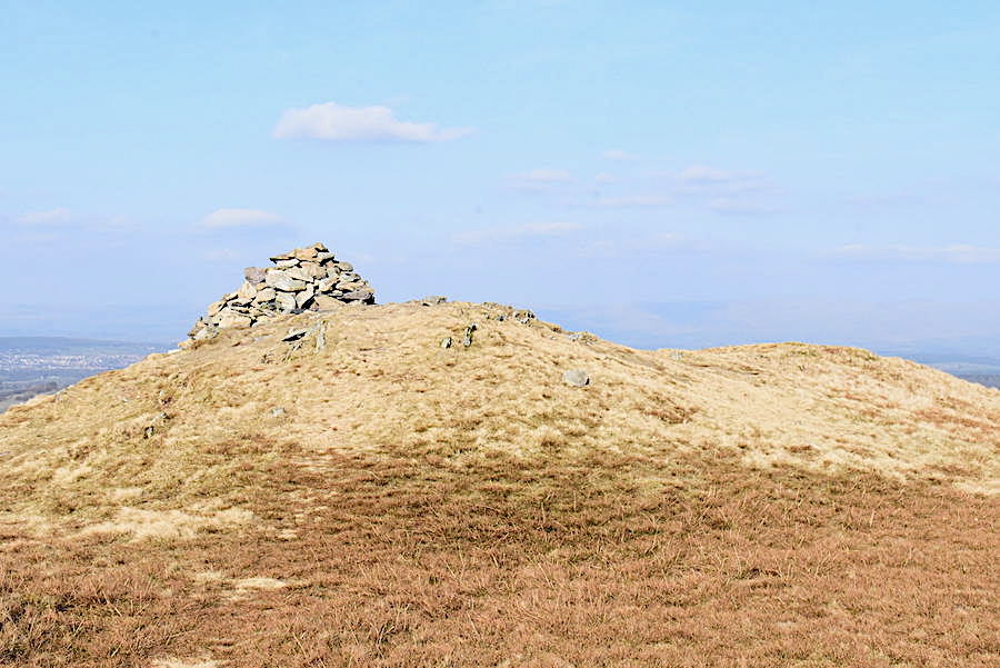
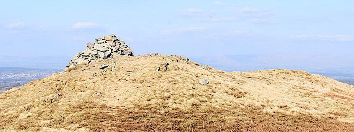
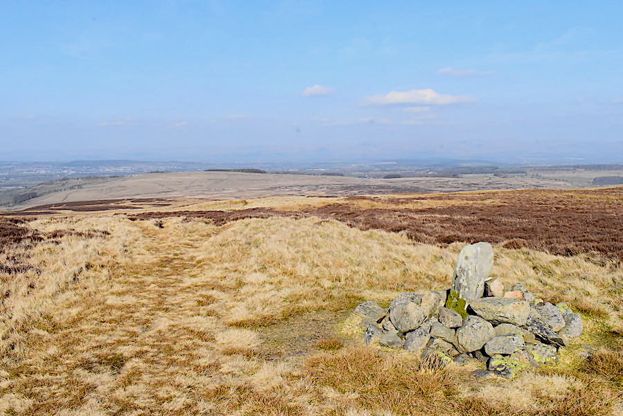
Arthur’s Pike summit cairn …..
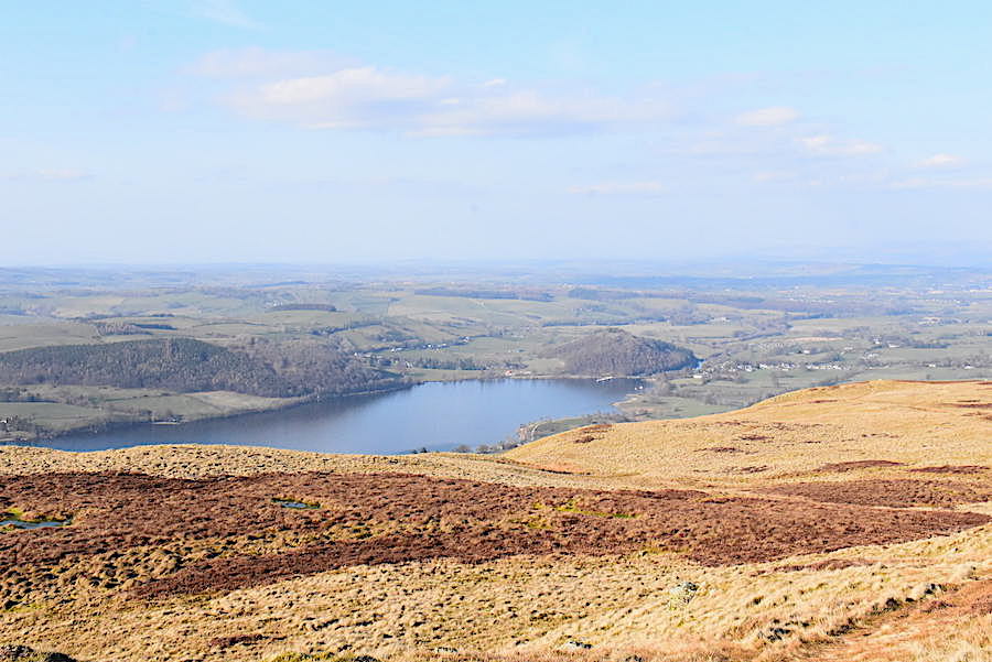
….. and a view of Ullswater, and beyond, from the cairn.
The zoom lens came out again for a closer view, across Bonscale Pike, of Dove Crag, Hart Crag and Fairfield, from left to right, on the hazy and distant skyline.
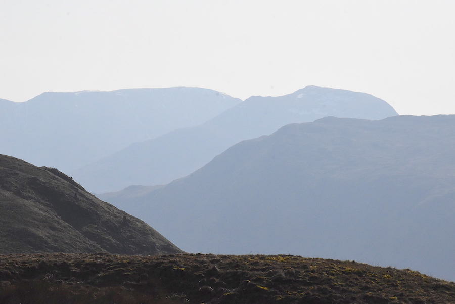
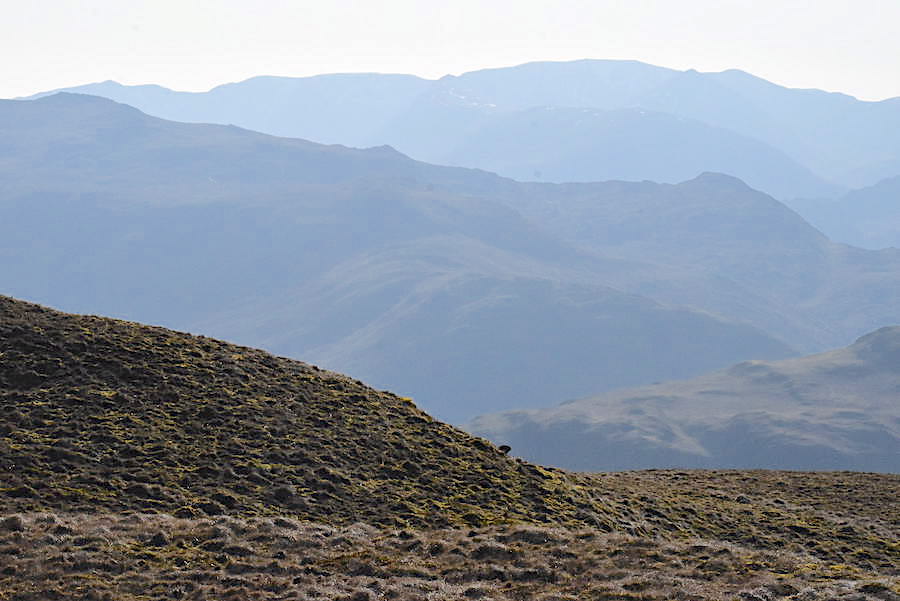
A little further around and on the left is Fairfield, then Saint Sunday Crag followed by the bulk of Birkhouse Moor. Nothing more than humps in the haze today though …..
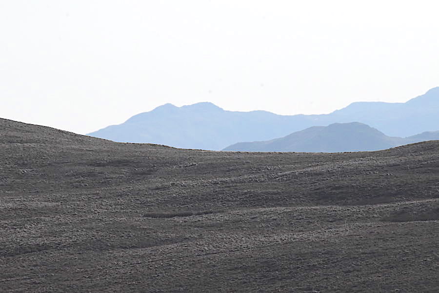
….. the same goes for the two tops of Little Hart Crag …..
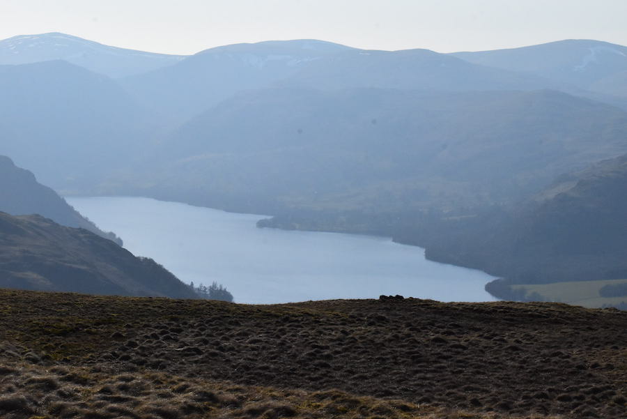
….. while the only thing standing out clearly in this shot is Ullswater. We don’t mind one bit though, hazy it may be but the sunshine and the absence of any hint of a breeze more than compensate.
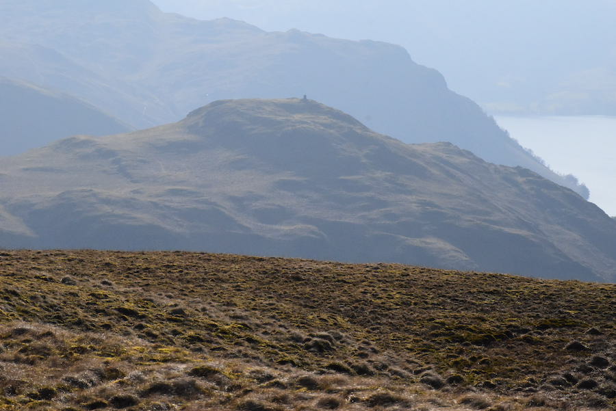
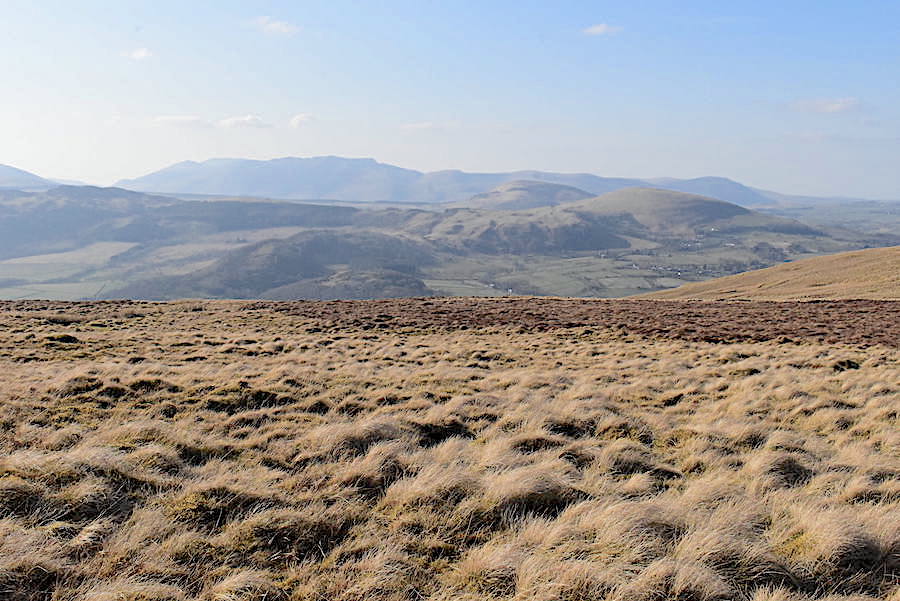
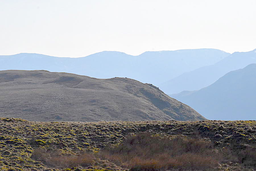
Looking below and cutting out the light gave a better view of Hallin Fell although it didn’t work out quite so well for Place Fell right behind it.
Place Fell occupies the middle foreground with the Helvellyn range on the skyline behind.
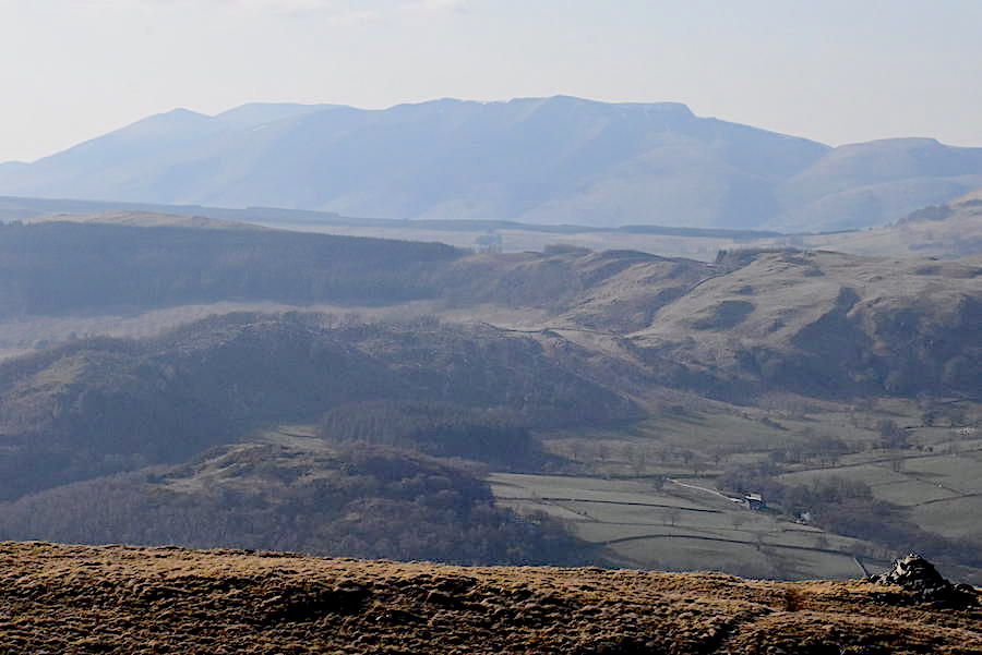
Looking across Threlkeld Common for another view of Blencathra.
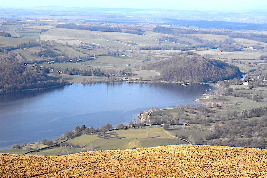
We begin the return leg with a view of Ullswater and the jetty down at Pooley Bridge. The steamers are not operating until further notice and, apart from the occasional bird call, there isn’t a sound, anywhere.
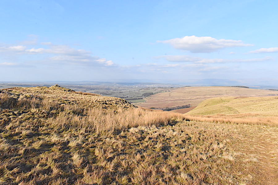
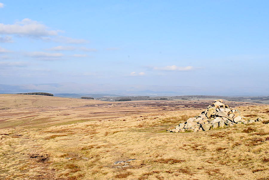
Heughscar Hill is back in view as we pass by one of the marker cairns.
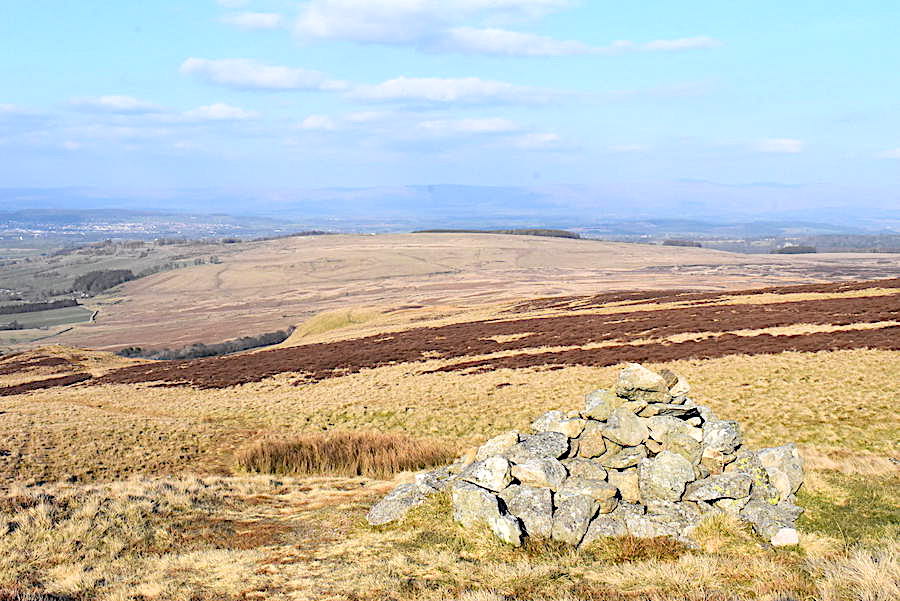
The cairn on White Knott …..
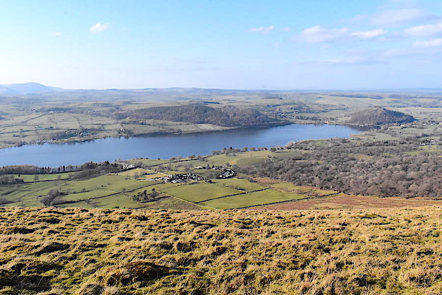
….. and a look down towards one of the empty camp sites along the shores of Ullswater.
Another marker cairn turns up as we make our way down to the stone circle once again.
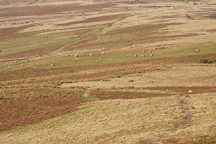
Bales of bracken drying out below us.
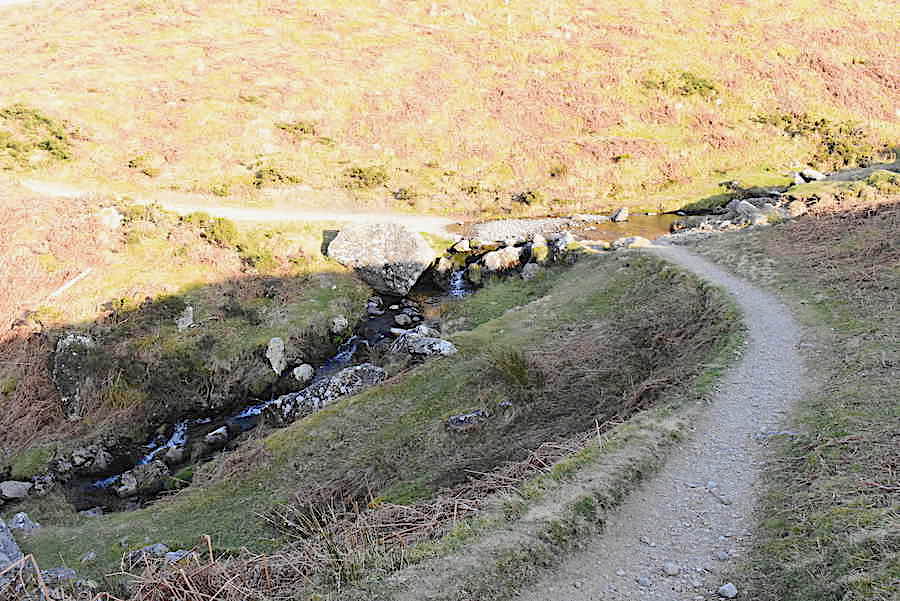
Crossing Aik Beck …..
….. and back to the stone circle once again where a lone cyclist suddenly popped up from the Pooley Bridge side and carried on cycling straight up the Roman road. We can’t see anyone else so it looks as though the dog walks are done with for the day.
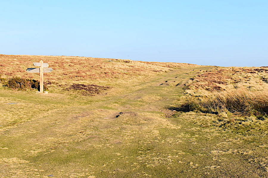
Returning over the same watery track we arrive back at the sign-posted junction on the main path. Ahead for Helton, behind me for Pooley Bridge and as you know where we’re heading for I needn’t elaborate.
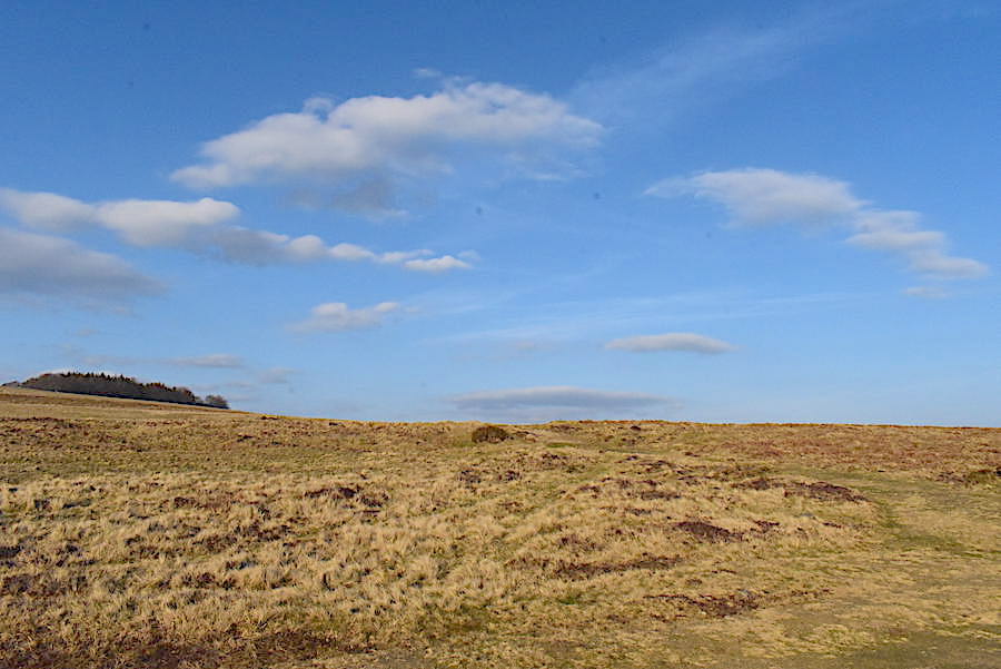
Now that’s what could be called a peaceful sky.
Back at the Cop Stone with Knipe Scar, and the car, in view so we haven’t a great deal further to go. Another car is parked way off to the right and one more passed by as we got back to the car. It parked up, walker plus dog jumped out and set off across the moor. I think I mentioned it was popular place for dog walkers. So here we are at the end of another walk and a rather longer one than we had originally intended but it would have been a shame not to have made full use of such a lovely afternoon. As the weather seems to be set fair for a while, and now that the garden has finally dried out, its time to find the keys to the shed and begin getting everything ready for the spring planting so we’ll be busy doing that for the next few days. After that, who knows?