Gowk Hill and Steel Knotts
Walk Date – 1st January 2020
Distance – 4.2 miles
Weather – cool but dry with a slight breeze, heavy cloud to the south and west, sun and blue skies to the north and east (guess where we were?)
Poor weather and the Christmas period have combined in keeping us off the fells for almost two weeks now, but the first day of the new year arrived with sunshine and blue skies, a very welcome break from the interminable grey, murky blanket the country seems to have been been covered with for the past few weeks. The snow covering seen on our last walk has long since vanished although there are a few isolated patches still lingering here and there and the ground is still soggy, but the shortest day is behind us and from now on we can to look forward to a few more minutes of precious light as each day goes by. Back to today and having arrived at St Peter’s Church at the hause above Martindale it was clear that today’s weather was made up of two definite halves with Ullswater acting as referee. To the north and east of it blue skies and sunshine, to the south and west some very heavy cloud which resulted in some very low light indeed together with the complete obliteration of most of the fell tops around us. Naturally, this was the day I had decided to bring the long lens so I could get some close up shots of the fells all around us. However, as Steel Knotts is on the south side of Ullswater, I never got the chance to use it despite J generously lugging it around for the duration of the walk. Oh well, the light may have been poor but it did provide a very ‘other worldly’ kind of atmosphere as can be seen from the photos.
A Happy New Year to you all.
Route
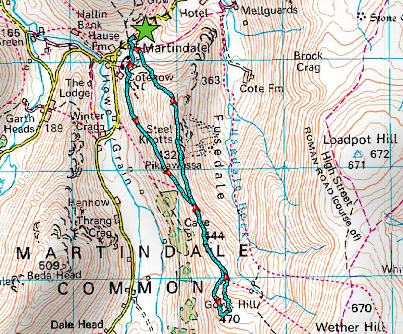
St Peter’s Church, Martindale – Lanty Tarn – Cote How – Brownthwaite Crag – Gowk Hill – Brownthwaite Crag – Steel Knotts – Birkie Knott – St Peter’s Church, Martindale
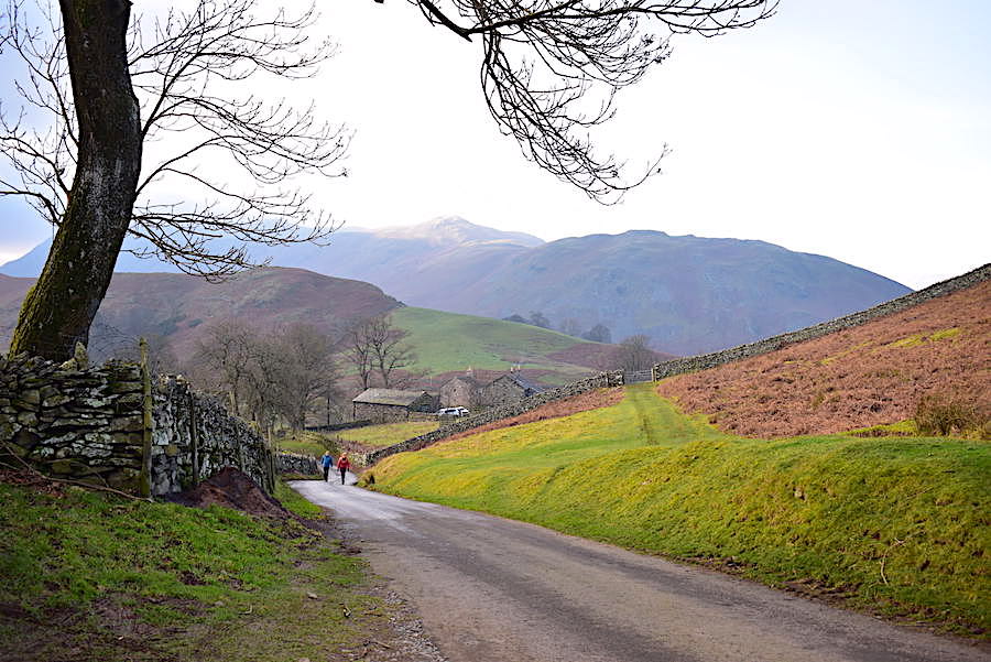
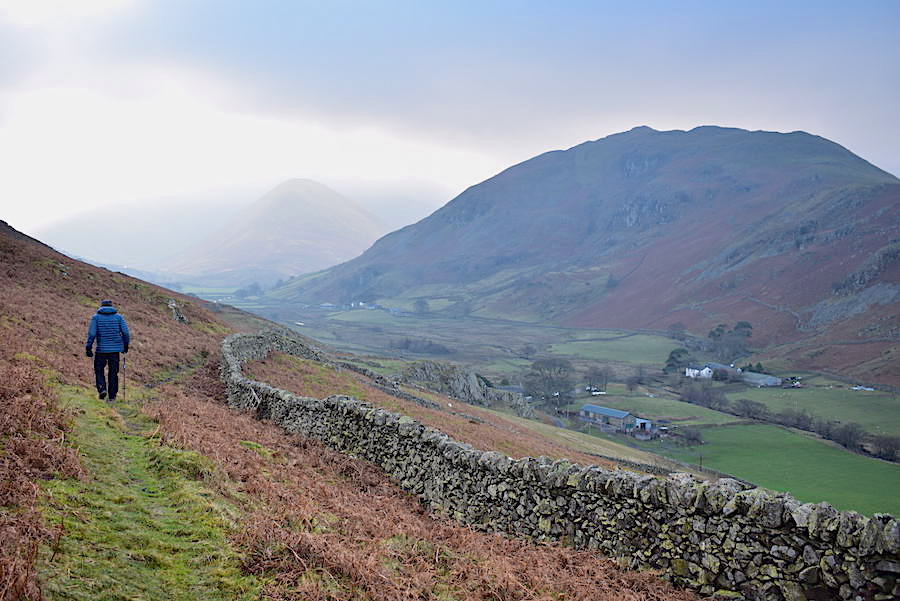
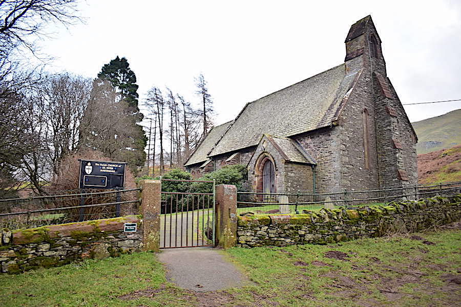
The parking area by the church was full to bursting when we arrived, as we had suspected it would be given that we didn’t start out until late morning. All the spaces in the small lay-by off to the right were taken and the church parking spaces to the left were so crammed that at the end of the line of cars the very last car had been squeezed in, at a very haphazard angle, up the slope and a good bit beyond where the path begins. We managed to fit ourselves into a space, a little way back along the road, that nobody seemed to want, probably down to its rough and stony nature and the awkward angle of the ground. The above shot was taken from the road just before we turned left and walked up beside the church.
 From the church the muddy path takes us the short distance up to Lanty Tarn which is definitely becoming smaller as each year goes by.
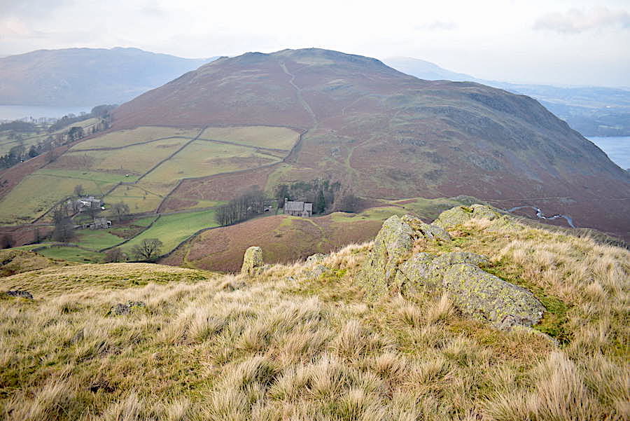
The short steep climb over Cote How had us puffing and panting, (too much sitting around, too much eating and generally doing nothing very active lately) but the path eventually levels out and we get our breath back as we walk above Martindale in the direction of the ‘old’ church of St Martin. As can be seen the view ahead looks rather spectral with only the ghostly shape of The Nab appearing in the distance.
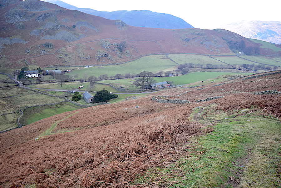
The path we’ve been following eventually joins up with the one coming up from the church, that’s the building just left of centre surrounded by some ancient yews.
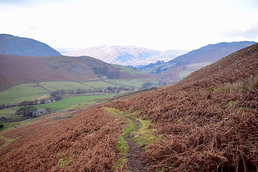
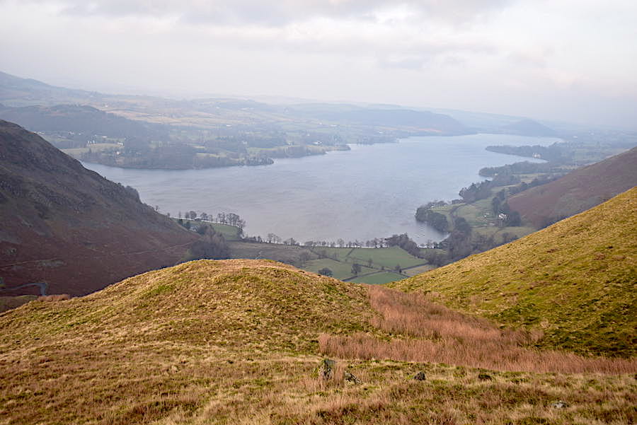
Looking back from a little further along the path which illustrates clearly that Ullswater is the demarcation line, on its northern shore Gowbarrow, on the centre skyline, is bathed in light but over here its very gloomy indeed.
This was as good a shot of The Nab as I could get despite nudging up the brightness level on the camera so you may imagine what the actual conditions were like. Even the slight breeze which we’re beginning to feel wasn’t doing anything to shift the cloud along.
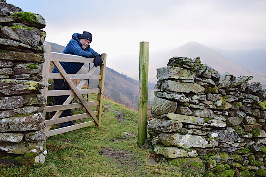
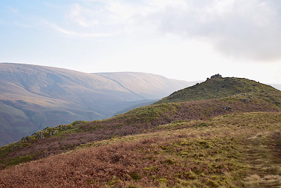
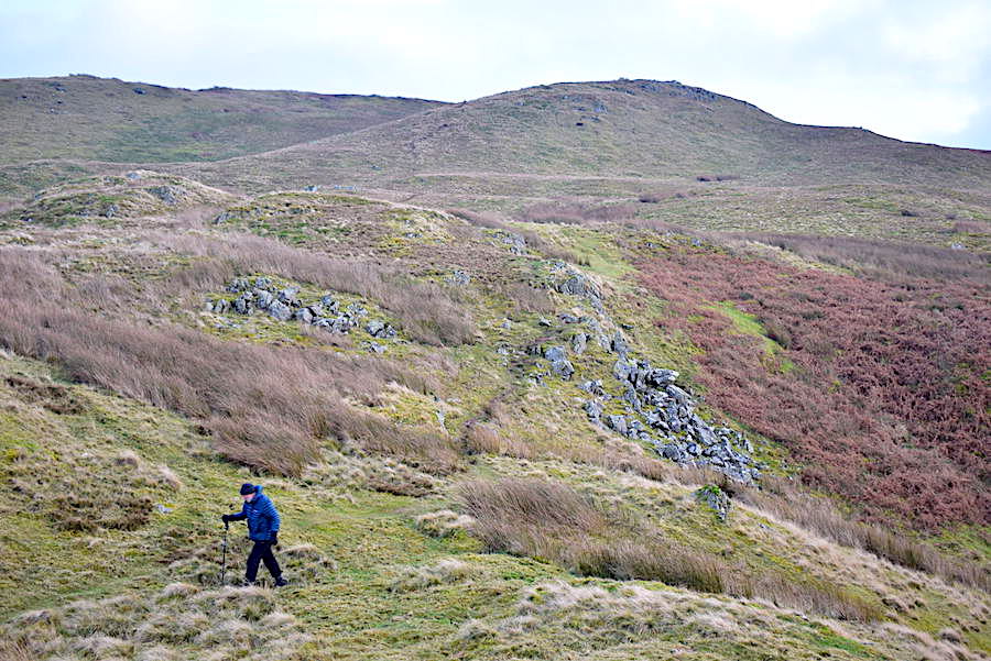
We haven’t been up Steel Knotts since 2017 so were surprised to see that a gate has been installed since then. I did wonder why it was deemed to be necessary, there hasn’t been a gate here for years if at all, it has always been a gap in the wall.
Looking down into Martindale with The Nab still in spectral mode.
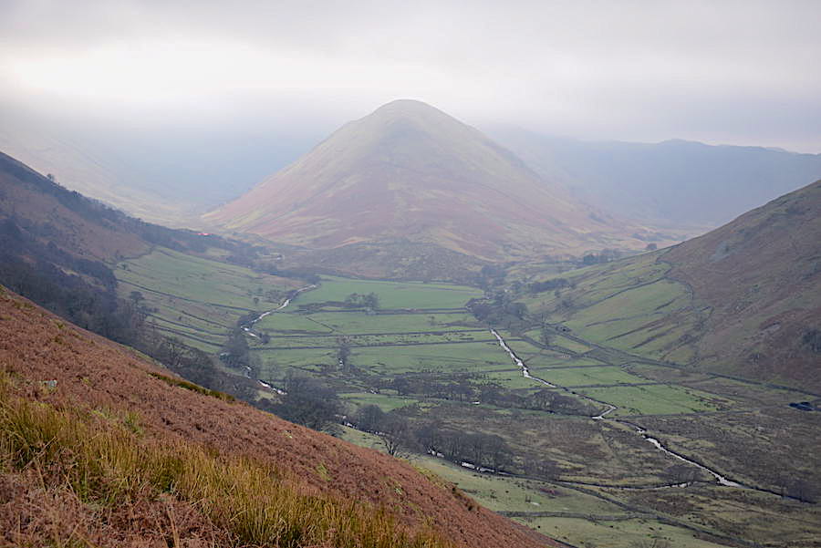
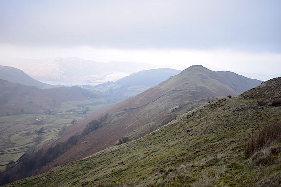
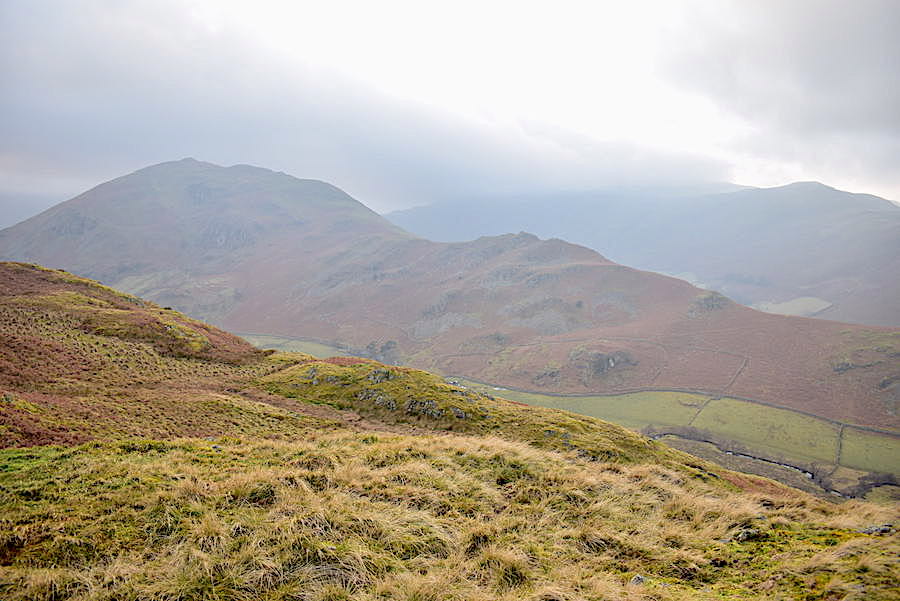
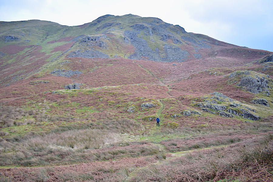
The path leads us up to the little col between Steel Knotts and Brownthwaite Crag where we decided to carry on over Brownthwaite Crag and head over to Gowk Hill. On the way we had this view of Bonscale Pike just catching a little sunlight through one of the very few gaps in the cloud.
Looking back towards Steel Knotts as we climb the path leading us towards Brownthwaite Crag and gaze longingly at the sunny weather on the far side of Ullswater.

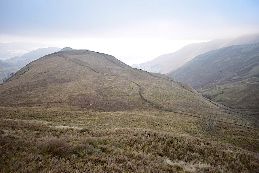
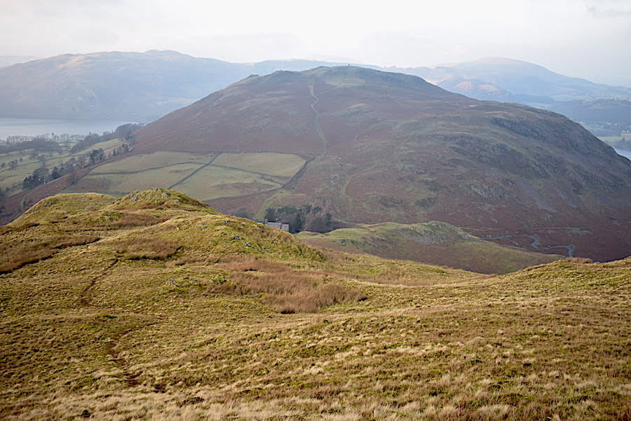
From the top of the first rise we view the pudding basin shape of Brownthwaite Crag just ahead of us. We also take note of the fact that in order to get to it we have to lose height first and then gain it all over again which nobody really likes doing. However, it isn’t a very deep drop down and we are soon scaling the path opposite which heads towards the wall. Walkers can either keep to the wall path or, as we did, branch off to the right and follow the track going through the heather. This bypasses the actual top and continues on towards Gowk Hill and eventually Wether Hill.
Nope, things haven’t improved around The Nab, if anything it has become even less clear in the weird light.
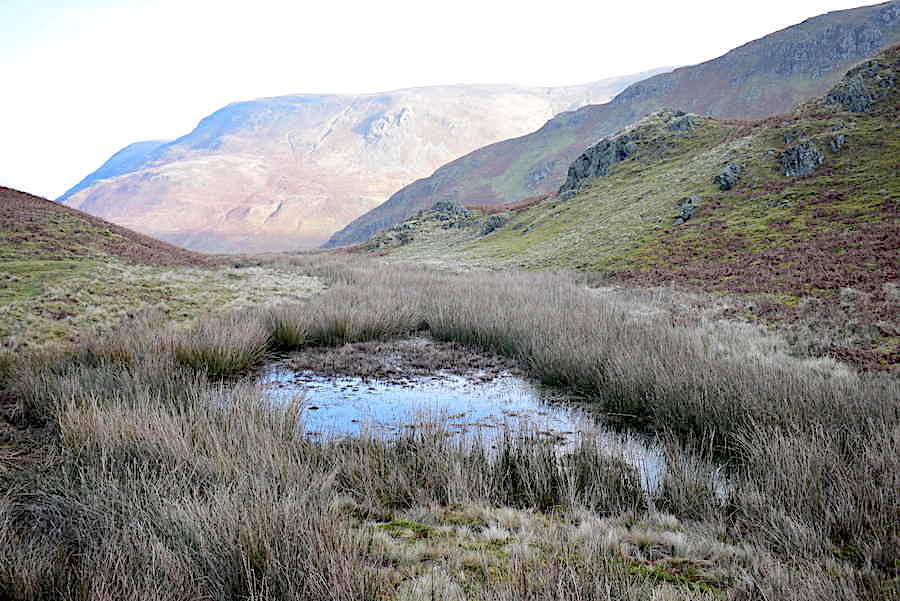
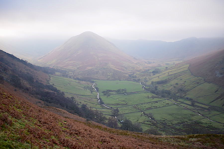
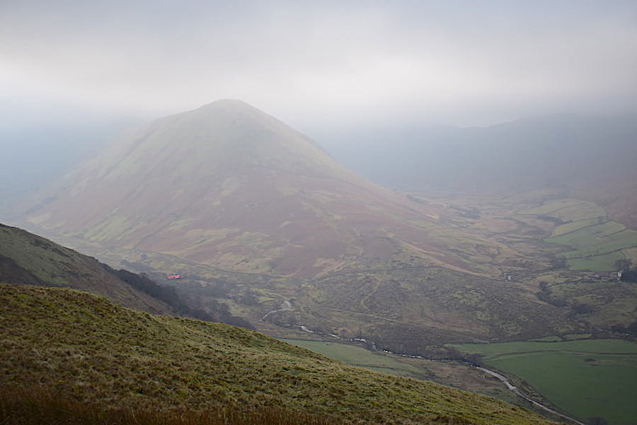
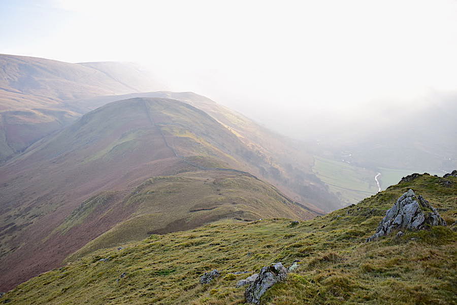
As the path rounded Brownthwaite Crag I did a quick nip up to the top of it for this shot of Gowk Hill, although its more of a silhouette than anything else. While I was up there another brief gap in the cloud allowed the sunlight through and there was a glorious burst of light which turned the slopes of Wether Hill a dazzling golden colour. Things quickly got back to normal though and we continued on to Gowk Hill in more deep gloom. It looks a long way off and quite a bit of a climb but it really isn’t and we were on the top in less than half an hour. The squelchy area between the two being the most difficult thing to negotiate and even that wasn’t as bad as it could have been.
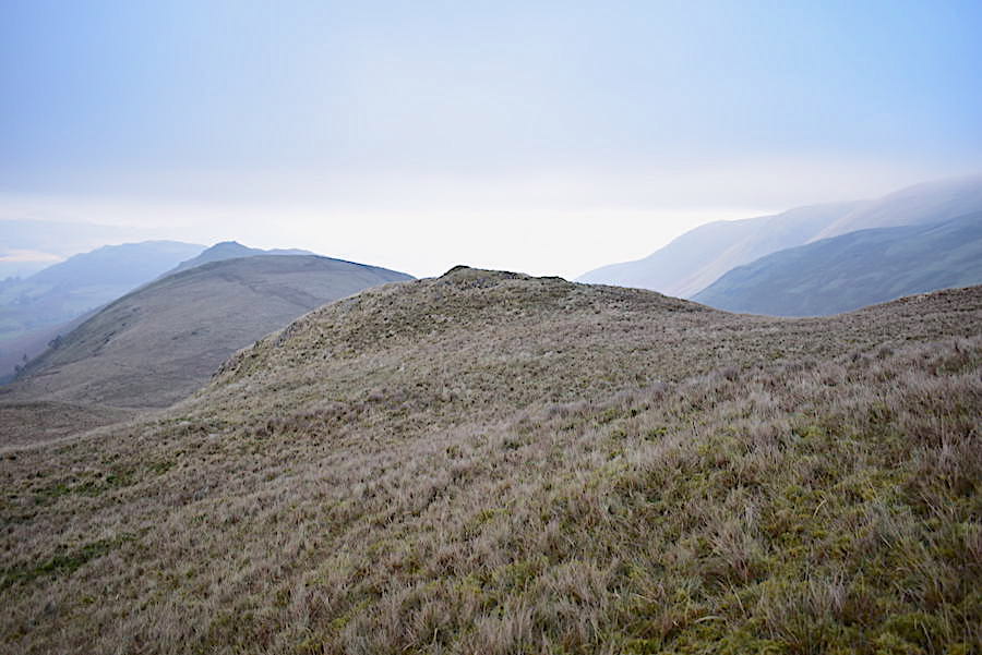
A look back along Martindale from Gowk Hill where …..
….. despite visiting every possible hump and bump to find the one white stone which marks the top the only one we could find was this rather dull grey one, from where I took this shot looking north eastwards, and which obviously wasn’t the one we were looking for.
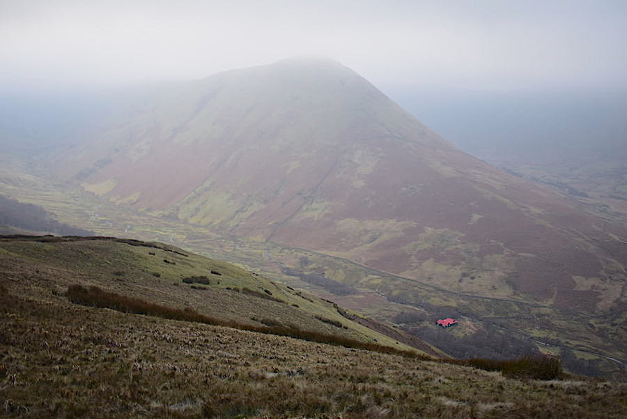
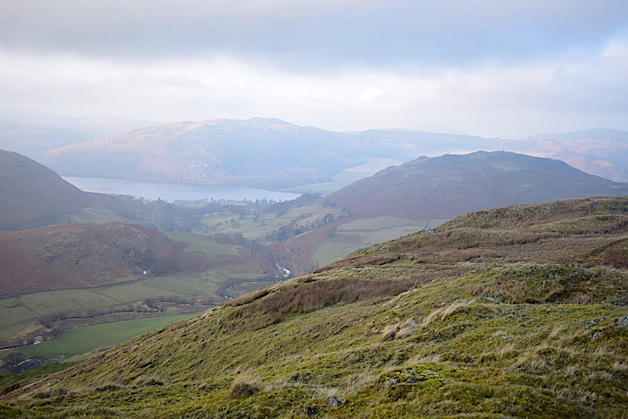
The cloud descends further and now the top of The Nab is catching the cloud base and could disappear at any moment. Still, the bright red roof of The Bungalow provides a welcome splash of colour. Built as a shooting lodge in 1910 by the Earl of Lonsdale in which to entertain Kaiser Wilhelm and guests it is now a holiday rental.
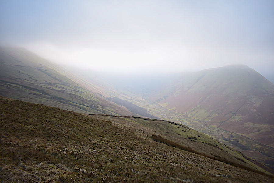
The view along Ramps Gill from Gowk Hill, long lens superfluous to requirements today.
Bright skies to the north and east as we turn around and head back across Gowk Hill.
Descending Gowk Hill and heading for Brownthwaite Crag. Paths everywhere and in abundance but we descended off path over the grass to the soggy bottom followed by the easy tramp up Brownthwaite. So far we have seen a pair of walkers walking up the Brownthwaite path as we came down it plus a lone walker who was heading up Gowk Hill just as we began desecending so it certainly wasn’t busy over here. I expect all the occupants of the cars parked by the church all headed off up Hallin Fell instead.
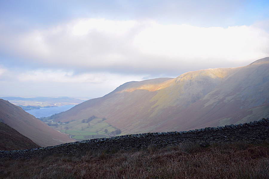
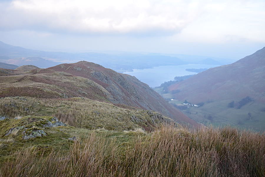
On the path on Brownthwaite Crag now and heading for the col between it and Steel Knotts. The cloud demarcation line over Ullswater is plain to see and the far shore is still bathed in sunshine.
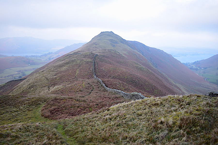
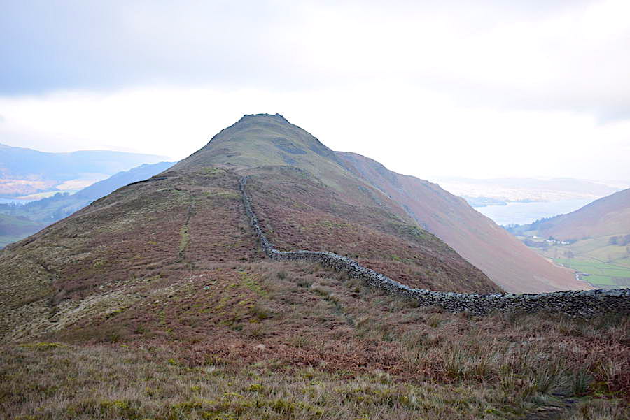
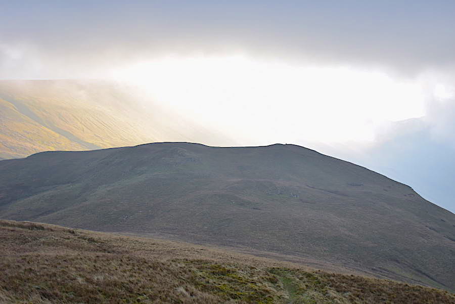
Steel Knotts straight ahead as we descend Brownthwaite Crag.
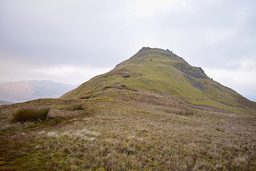
We’re well beyond the col now and about the start the climb up to Pikewassa, the summit of Steel Knotts. A pair of walkers some distance ahead stop for a breather and to take quite a few photos. They were there so long that by the time they had finished we were only a few feet behind them.
They moved off and we stopped at more or less the same spot as they did, things had become a little brighter so I turned round in the hope that another dazzling burst of sunlight was lighting up the fells. Let’s just say it was more of a glimmer than a dazzle. The Nab has completely disappeared from view.
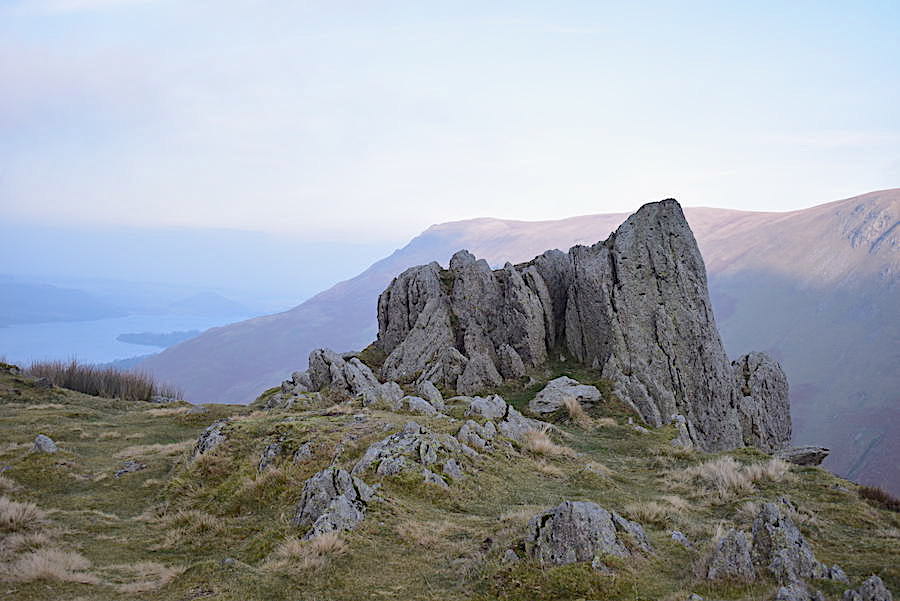
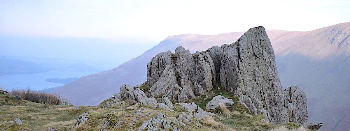
Another few yards and we are on the top of Steel Knotts and its familiar summit rocks known as Pikewassa. The couple who stood for ages taking photos haven’t lingered here and could be seen making their way over to Birkie Knott.
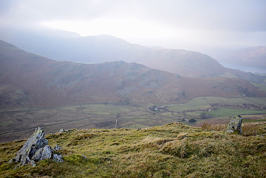
Looking across to Winter Crag Farm in Martindale, with Beda Fell’s Winter Crag right behind it and Place Fell’s subsidiary peaks of Sleet Fell and High Dodd right behind that. Not a lot to be seen beyond them.
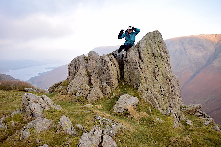
Yours truly on Pikewassa, holding on to my hat with one hand and waving my Happy New Year greetings to one and all. J’s Kestrel anemometer told us that the wind chill was -1.5 degrees, so quite mild really!
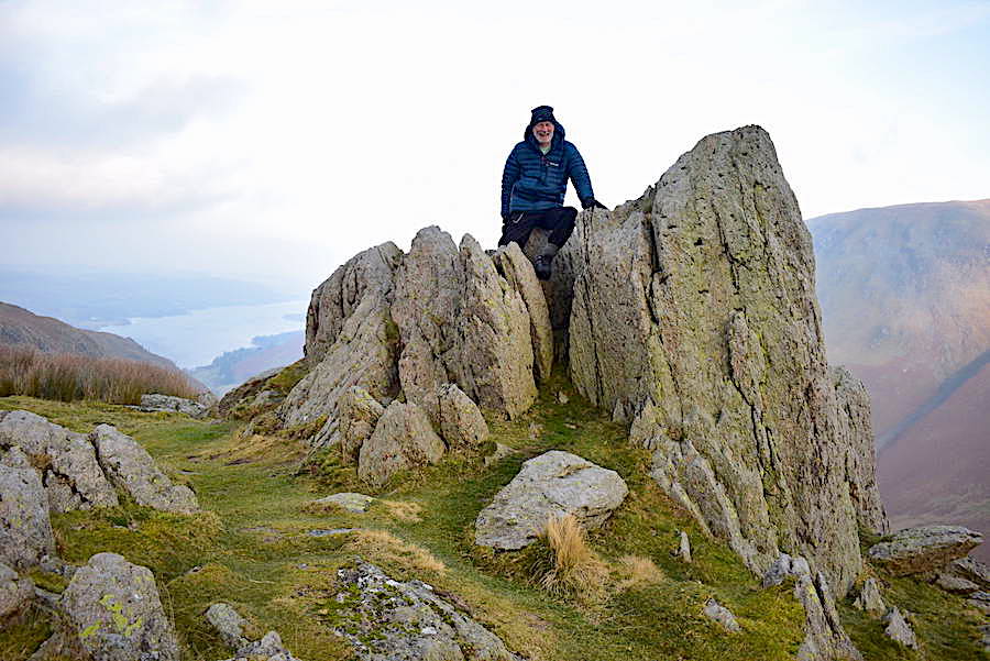
J also obliges but without a cheery wave, I think he needed both hands in order to keep his balance and his comfort, some of those rocks are a bit pointy!
More than a glimmer but not quite a dazzle, more of a glow than anything else but it was nice to see while it lasted as I took a look back towards Brownthwaite Crag and Gowk Hill from the summit area.
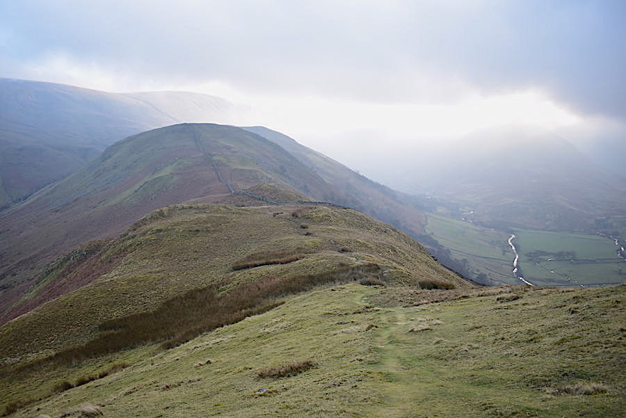
The cloud is gradually moving across Ullswater now as we leave the top of Steel Knotts and head over towards Birkie Knott …..
….. although Gowbarrow is still getting plenty of sunlight.
I turned for a look back at Pikewassa and was amazed to see the Loadpot – Wether Hill ridge absolutely clear of cloud having been invisible just a few minutes before. An example, if one were needed, of just how quickly the weather can change in the Lakes.
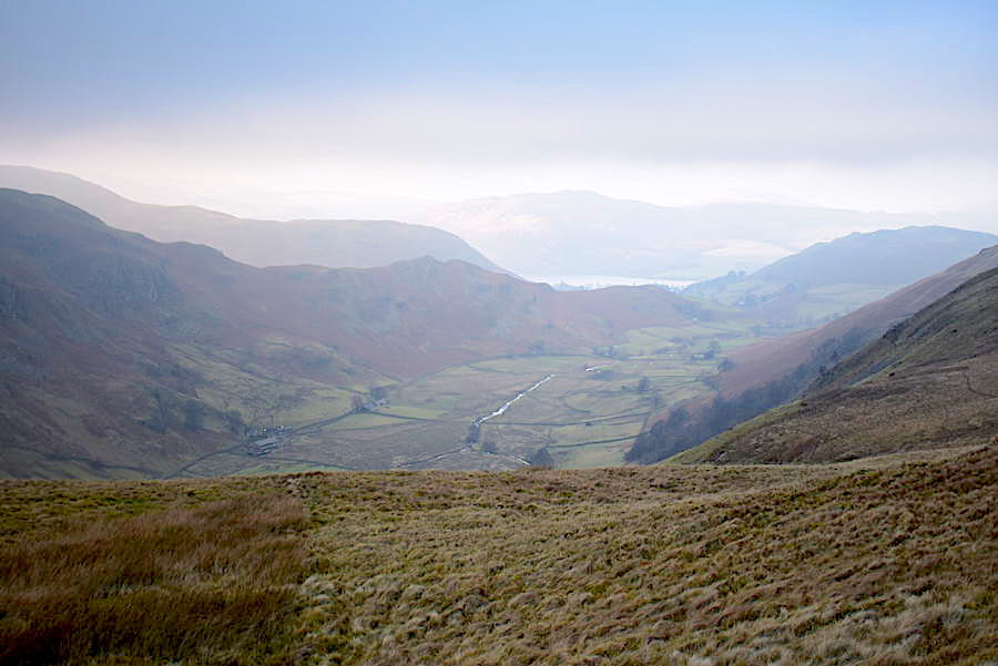
The best view of the northern end of Ullswater taken as we began to descend Birkie Knott, its a pity the cloud has now drifted over, an hour or so ago it was brilliantly blue every time we looked back at it.
Descending Birkie Knott, below us the roof of St Peter’s is just beginning to appear and a rather sombre looking Hallin Fell is directly ahead of us.
J passes below me as I turn around for a look back towards the top of Steel Knotts.
Well, at least we can see Beda Fell if nothing else.
I perch myself on another of Birkie Knott’s knots for another view down to St Peter’s and Hallin Fell. As I descended back to the path to join J we met a group of four weary looking walkers toiling their way up. One of the lady members of the group was taking things very slowly indeed and seemed barely able to drag one foot in front of the other. I expect they made it to the top eventually though and she would be able to take a well-earned break for a few minutes. Running out of gas about half an hour from a summit is not pleasant and it takes a lot of will power to haul yourself up there when your legs are screaming for you to stop and end the torture, believe me.
A look back to Birkie Knott as I climb the last little hump over to the church. J is now a fair distance behind me having to take things slowly since tweaked his plated ankle on the path down Birkie Knott. The path down is steep in places and consists mostly of very muddy foot ‘pockets’ which have been kicked into the fell side by previous walkers over the years. It was on one such section of path that J had a bit of a slither and in attempting to stay upright managed to tweak his dodgy ankle and had to hobble the rest of the way back.

The car park beside the church has thinned out considerably now, when we arrived a couple or so hours ago you could not have shoe-horned another car into that area no matter how hard you tried, we did and had to come out again.
The ground outside the church has been well churned up by car tyres today as you can see but only a couple of cars are left now and the whole place is certainly much, much quieter. Its more or less back to its usual winter peacefulness as we stop beside it and is all the better for it. Why do folks seem to yell rather than speak normally nowadays? Anyway, whatever the reason, they’ve all gone home and, as we’ve reached the end of our walk, that’s what we’d better be doing. Its been good to be out again and get our fell legs back in gear again and, even though we were on the wrong side of the tracks weather wise, the weird cloudy conditions certainly provided us with some very eerie looking views at times.