Great Sca Fell to Longlands Fell
Walk Date – 14th April 2018
Distance – 6.5 miles
Weather – mostly warm and sunny, occasional cloudy spells, light southerly breeze
After a week of nothing but gloomy, grey cloud cover the forecast held out the promise of a dry, sunny day with warmer temperatures and little wind, so we decided that it might be the right sort of day to re-visit some of the Uldale Fells. Its been three years since we last walked these fells and on that occasion the strong chilly wind put a bit of a damper on things so we were hoping that there wouldn’t be a repeat performance today. We decided to take one of AW’s routes from Longlands up to Great Sca Fell and then follow the course of the River Ellen up to its source just below the little col between Great Sca Fell and Little Sca Fell. The route is not overly demanding but it does rise steadily as Lowthwaite Fell is rounded and continues on up the valley towards the source of the river. I had decided to put my boots on before leaving home so, after having sat down and leaned over to lace them up, I straightened up and immediately felt a muscle in my back give way. I hobbled to the first aid tin, took a couple of pain relief capsules and hoped that would do the trick. It did for a while but it looks like yet another massage appointment is on the cards. It doesn’t feel like its the same one which gave me some trouble at the beginning of the year, but I’m fully expecting to be given some post treatment, ‘tie yourself in knots’, exercises all the same. Ho hum.
Route
Longlands – Longlands Beck – River Ellen – Great Sca Fell – Little Sca Fell – Brae Fell – Longlands Fell – Longlands
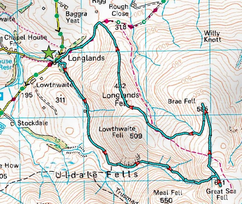
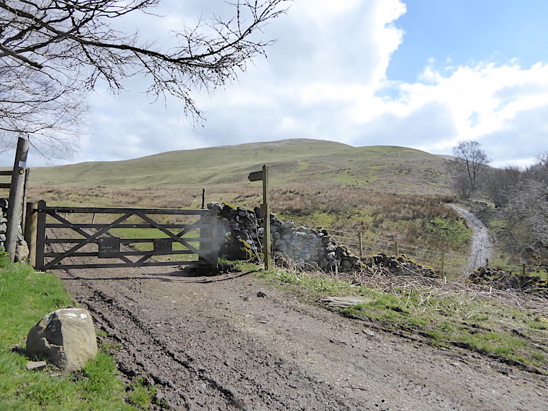
We drove over to Longlands not really expecting to find a space in the small parking area since we didn’t start out very early and got there about 12.30 pm. There were eleven other cars parked up but luckily one space was available, probably just recently vacated, so in we popped. A couple of fell runners came by as we were getting our stuff together, they stopped briefly for one of them to remove a layer and then passed through the gate and charged off along the old bridleway which now forms part of the Cumbria Way. After we go through the gate we take the path over to the right of the shot but not before having to negotiate the very juicy quagmire hidden in the dip.
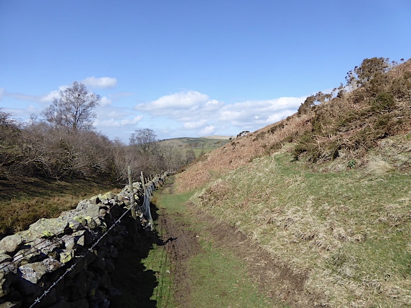
Looking back along the path which is squeezed in between the lower slopes of Longlands Fell and the wall above Longlands Beck. Normally a dry grassy route but, as you might expect after a soggy winter, much of it was quite muddy today. No need for jackets at the moment because it was very warm and sheltered along here.
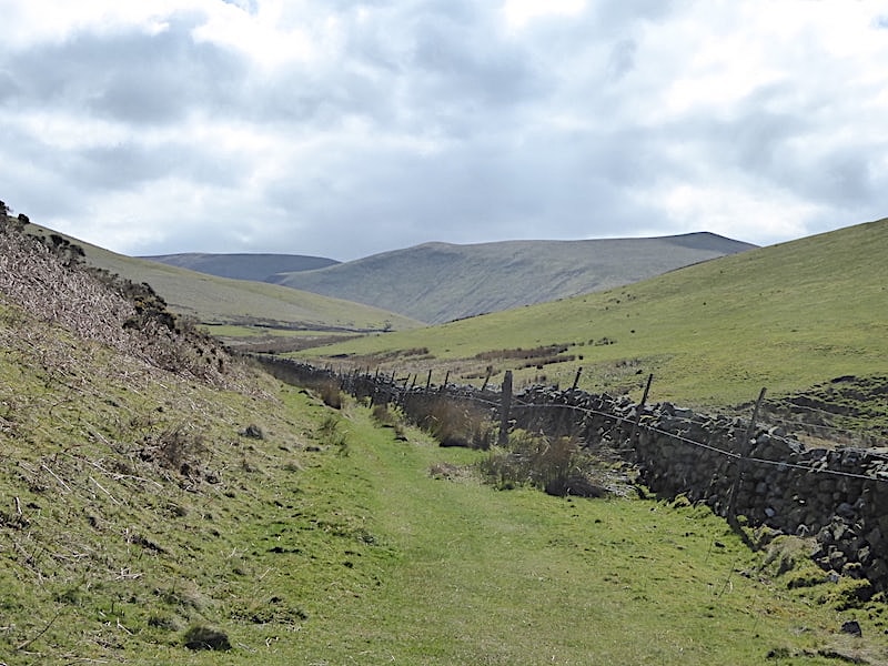
Looking ahead towards Burn Tod and Great Cockup as we continue along the grassy path beside Longlands Beck. Very pleasant and easy walking along here with not another walker to be seen anywhere.
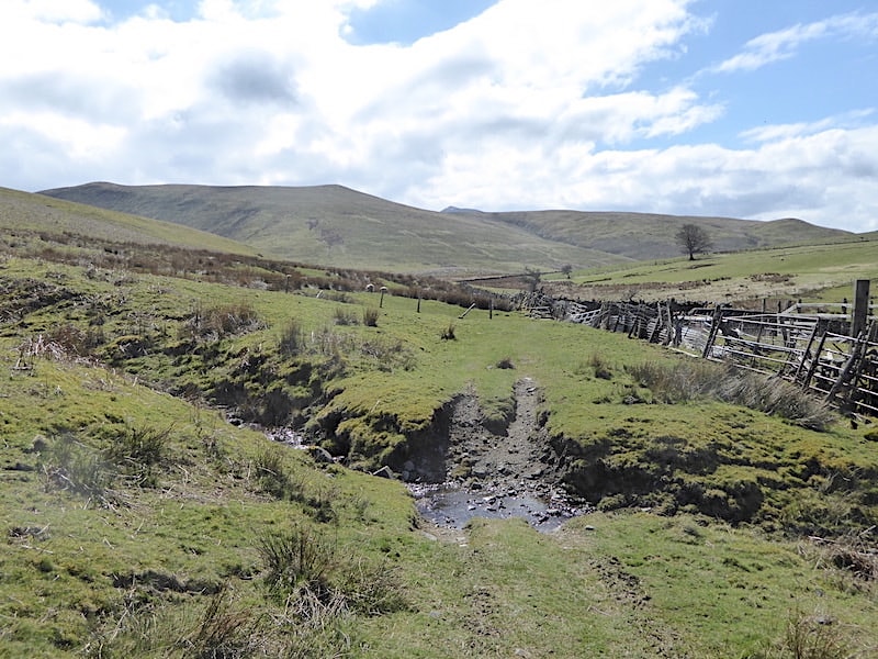
The tangle of sheep pens beside the beck which runs down between Longlands Fell and Lowthwaite Fell. The beck gives us the chance to wash off some of the muddy clag we’ve picked up back down the path. On the left skyline is Great Cockup and on the right is Little Cockup. Between them in the centre we can just make out the summit of Skiddaw. There’ll probably be a lot more walkers over on the Skiddaw fells today than there are around these parts.
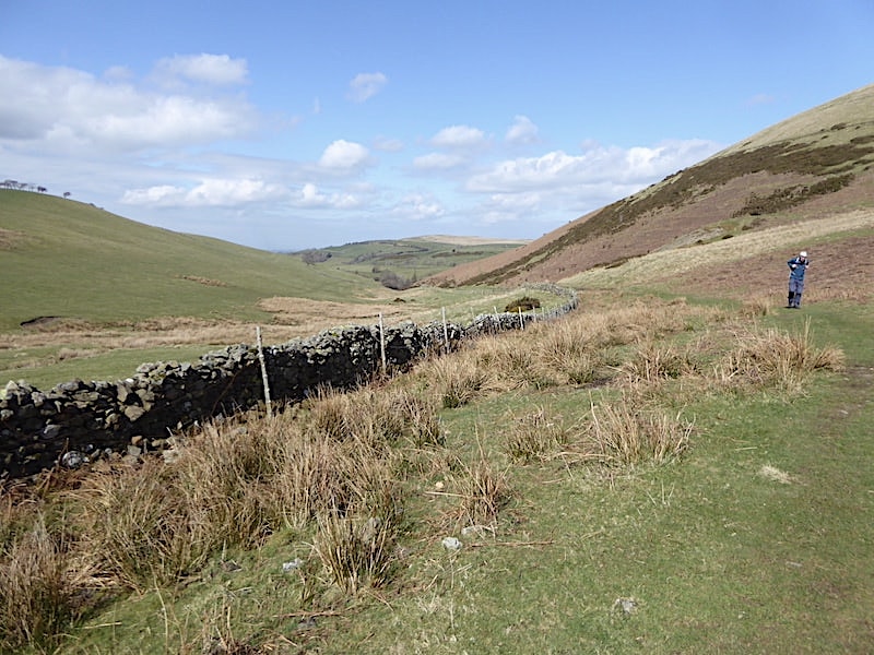
A look back as we continue on after the beck crossing and pass below the slopes of Lowthwaite Fell. The path is much less muddy along here and, apart from the occasional rise and fall, still offers easy, level walking. Its a grand day for a peaceful, crowd free stroll through the valley.
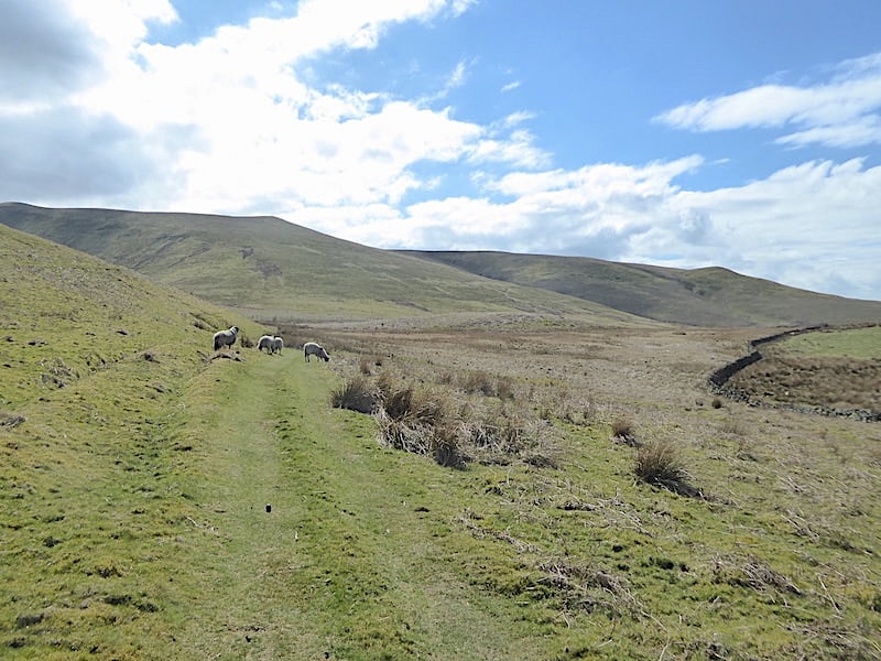
We weren’t short of company though, these four sheep continued to keep to the path just a little way ahead of us for quite some distance before they eventually wandered off up the slopes of Lowthwaite Fell.
Meal Fell to the left and Great Cockup to the right with the deep cleft of Trusmadoor forming the V shape, just below Burn Tod, to the left of centre.
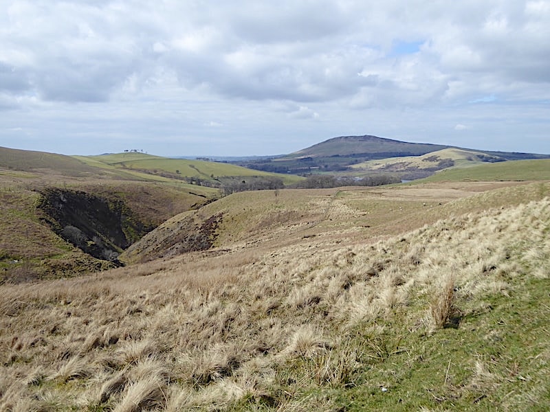
Behind us Binsey stands in its usual isolation while over to the left of the shot the River Ellen continues carving its way through the hillsides on its way to Maryport on the west coast.
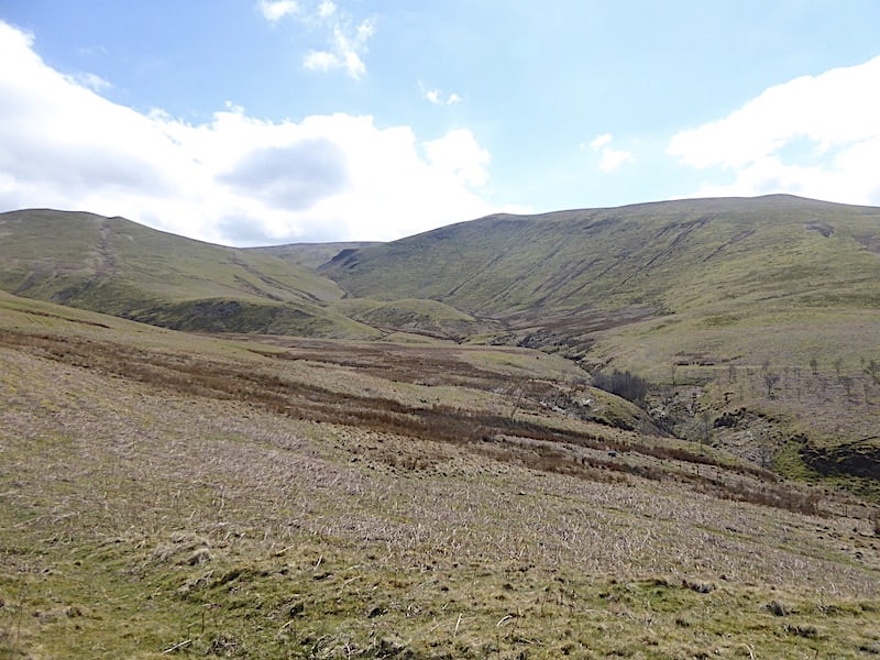
Instead of crossing over to the Meal Fell side of the river we stay on this side and begin rounding the lower slopes of Lowthwaite Fell to make our way up the valley. Meal Fell is over on the right of the shot and to the left of it are Great Sca Fell and Little Sca Fell. Between the two rises the source of the River Ellen so we’ve still some way to go.
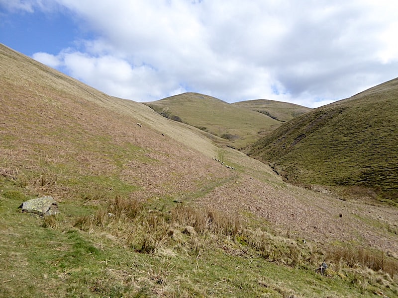
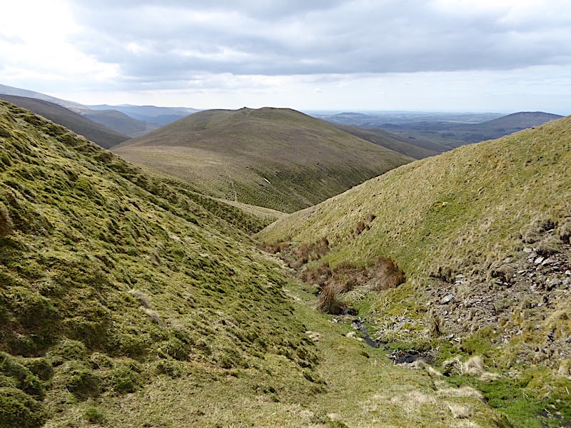
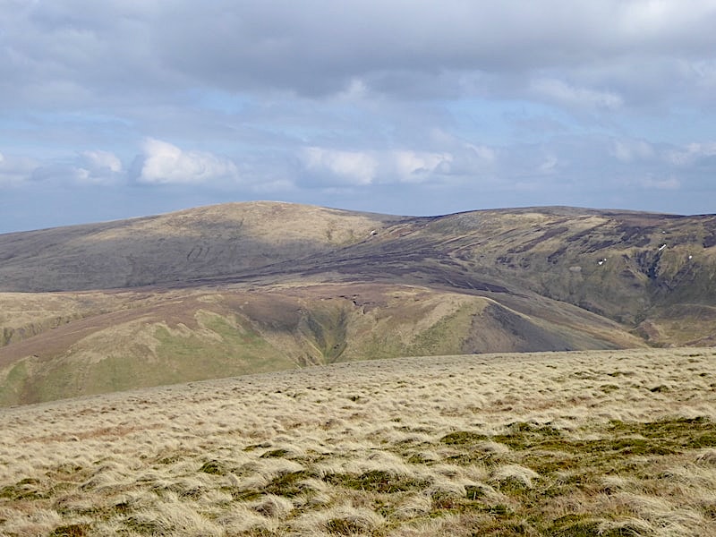
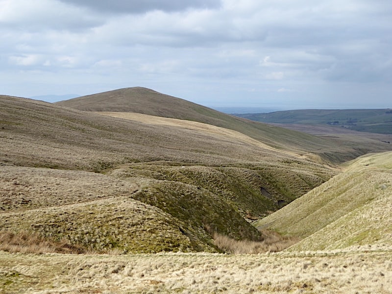
Following the path below Lowthwaite Fell with Little Sca Fell on the centre skyline. The deep gorge coming down the left of Little Sca Fell is not the one to follow if you want to reach the source of the river. The path is clear to see and easy to follow for the time being.
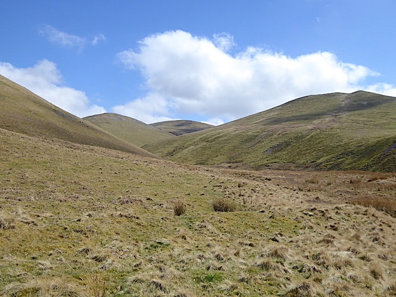
Further along and both Sca Fells take centre stage again and once again we have the company of a little group of sheep who always kept a wary distance a little way ahead of us.
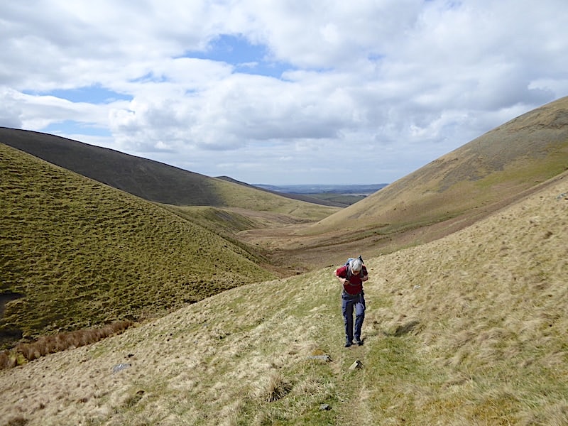
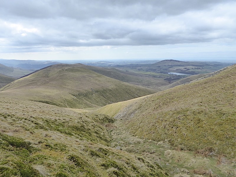
A look back as we leave the slopes of Lowthwaite Fell behind and begin traversing those of Little Sca Fell, with the ground rising steadily and a bit more effort being required. Warm work at the moment in the shelter of the valley.
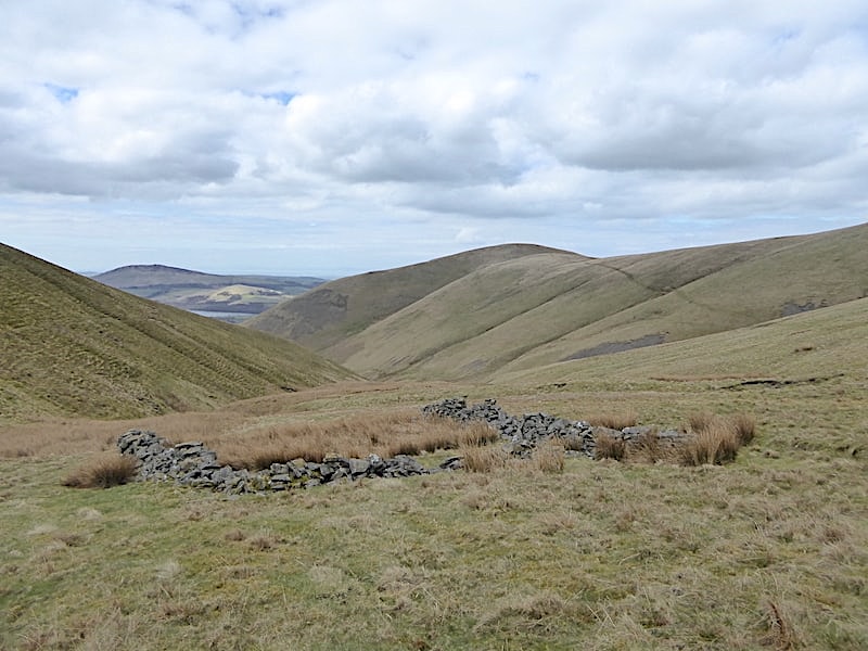
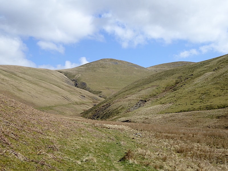
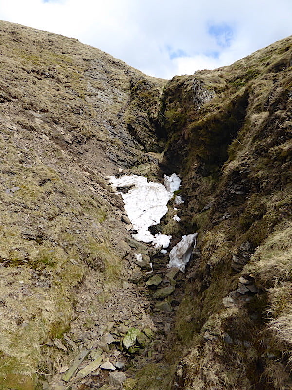
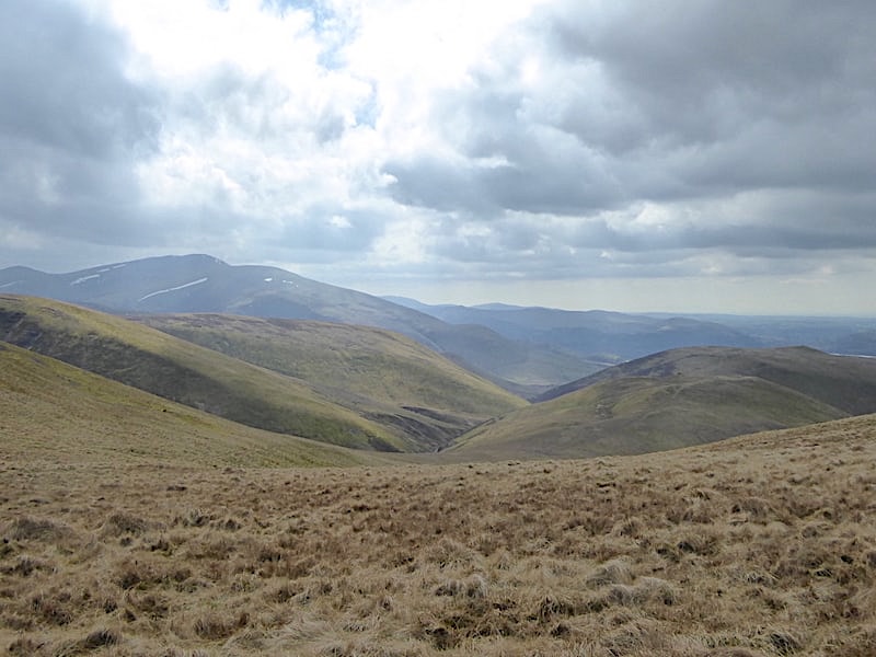
Beyond the deep gorge on Little Sca Fell the ground rises a little more steeply, as can be seen in the shot, and eventually we reach the old sheepfold which AW helpfully indicated on his Great Sca Fell 7 page. On the OS map there is a tiny black square shown at this point but it is not named as a sheepfold so that mark may just indicate a grouse butt, several of which we had seen scattered across the slopes. The sheepfold is situated across the river, which by now is little more than a stream, from the path we arrived on so I crossed over to take this shot looking back down the valley. We had a short refreshment stop at this point before going any further as we hadn’t bothered to have any lunch before setting out. I was also glad to sit down for a few minutes as the climb up had given my newly strained back muscle a bit of a going over and it was becoming too painful to walk much further without giving it a short rest. We saw our first walkers during our stop, two tiny figures ascending Great Sca Fell from the Meal Fell direction, and one tiny figure crossing below Great Sca Fell heading towards Meal Fell. That might be counted as busy for the Uldale Fells I suppose since they never seem to get many visitors.
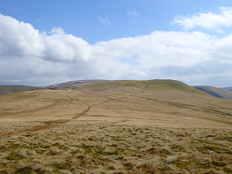
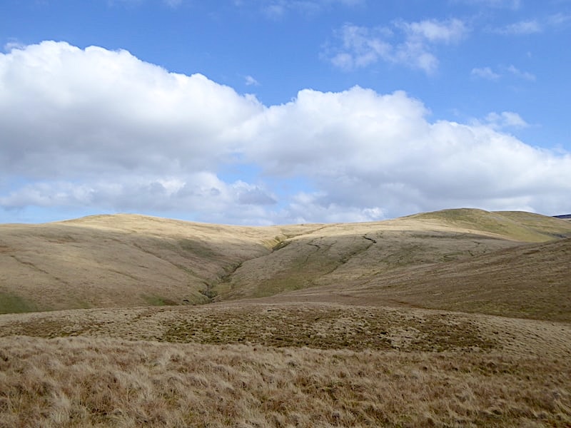
A couple of sandwiches and two cups of coffee later and the view up to Great Sca Fell from the sheepfold side of the stream before we crossed back to the other side and took to the path alongside the stream. You might be able to pick out the faint path over there, a little higher up above the stream, but that keeps to the hillside above it and is probably a sheep trod. Just below the summit of Great Sca Fell you might also be able to pick out the horizontal path running across the slopes, we’ll eventually join up with that path when we emerge from the stream gully. We wanted to follow the course of the river so we walked alongside the bed of the stream.
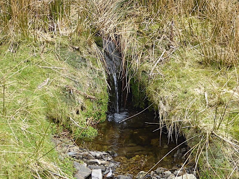
A narrow grassy verge hugs the side of the infant River Eden which has a series of tiny falls and cascades burbling and splashing down its length although there wasn’t a great deal of water in it today since all the snow has long since melted and we haven’t had much by way of rainfall to replenish it.
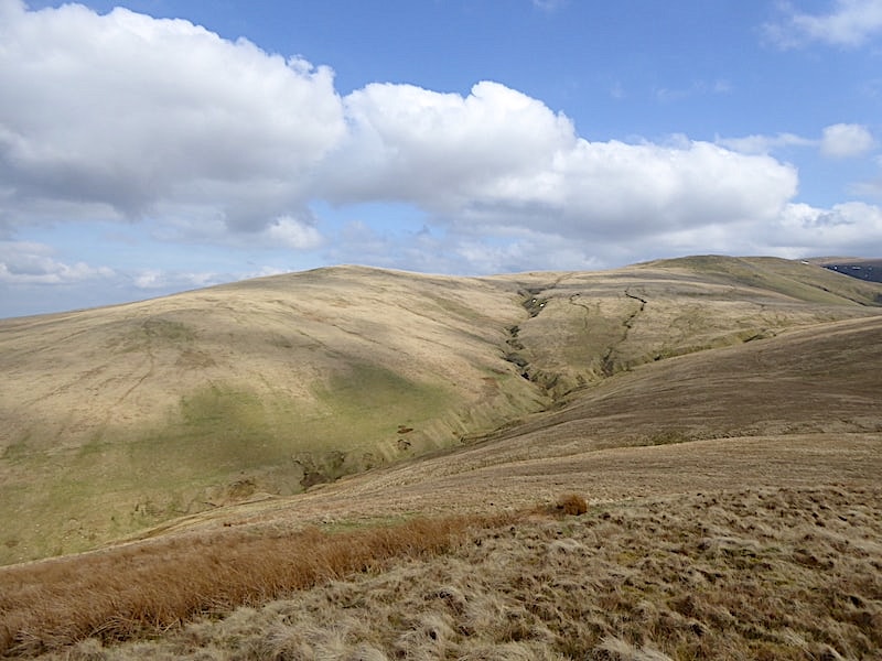
A look down the course of the stream with Meal Fell directly below. This is a lovely little route and not at all difficult. At this point we had just crossed over from the right hand bank as you look at it. By now the infant River Ellen was hardly more than a dribble …..
….. and just a little further up the water had disappeared completely and the gully was bone dry. The cloud closed in for a while so the views of Meal Fell, Overwater and Binsey became a little muted.
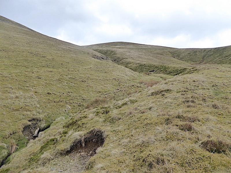
Just below the col the gully comes to an abrupt end at this point. We didn’t go through the gully but kept high to the right of it. At this point we moved back over to the right of the shot and climbed just a short way to flatter ground where we joined up with a path coming across from Meal Fell. As we did so we noticed another walker below us making his way up but at the col he turned off towards Little Sca Fell and that was the last we saw of him.
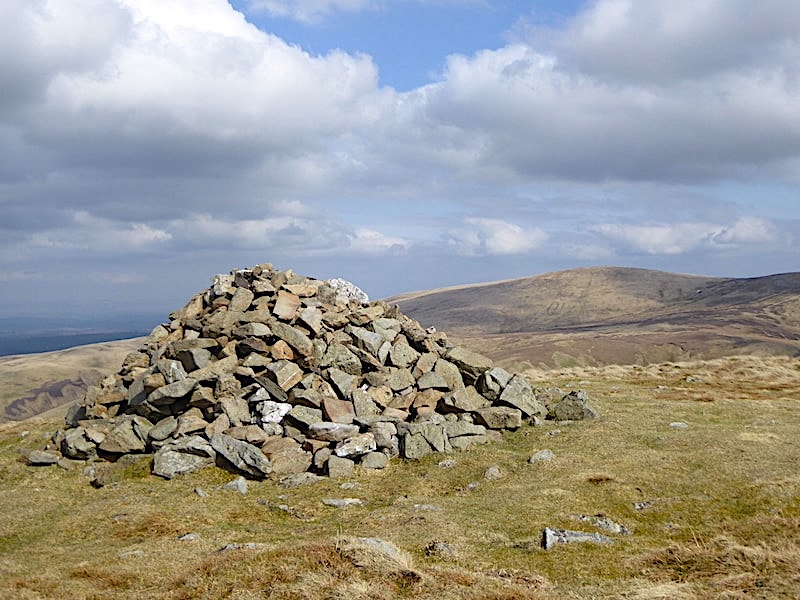
A short climb from the col takes us up to the summit of Great Sca Fell with this view of Knott to the south of it. No sign of the usual puddle of water around the cairn today just a well trodden muddy patch. Even muddier and juicier would be the peat hags in the depression between here and Knott but we had no plans to walk over there today. AW’s given mileage for this route from Longlands to the summit is 2.5 miles but the gps gave us a reading of 3 miles. Not that it matters but I just thought I’d mention it for anyone interested in mileage statistics.
There’s not a lot of excitement to the grassy summit of Great Sca Fell and its so flat and vast that the surrounding views are severely curtailed. Looking to the north east we can only see the tops of High Pike and Carrock Fell …..
….. with the same sort of view of the Skiddaw fells to the south west.
J taking in what views there are while waiting for the photographer to finish.
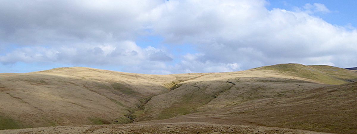
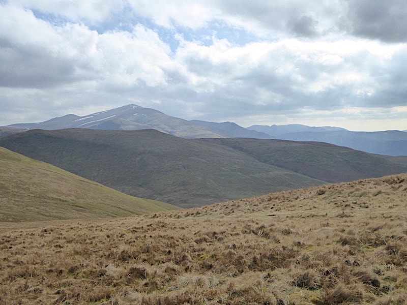
The clouds close ranks and the distant fells merge into a solid mass of blue-grey emulsion with the Skiddaw group standing out a little more clearly over on the left skyline. Below us is Frozenfell Gill with Meal Fell and Great Cockup to the right of it, and Frozen Fell and Burn Todd to its left.
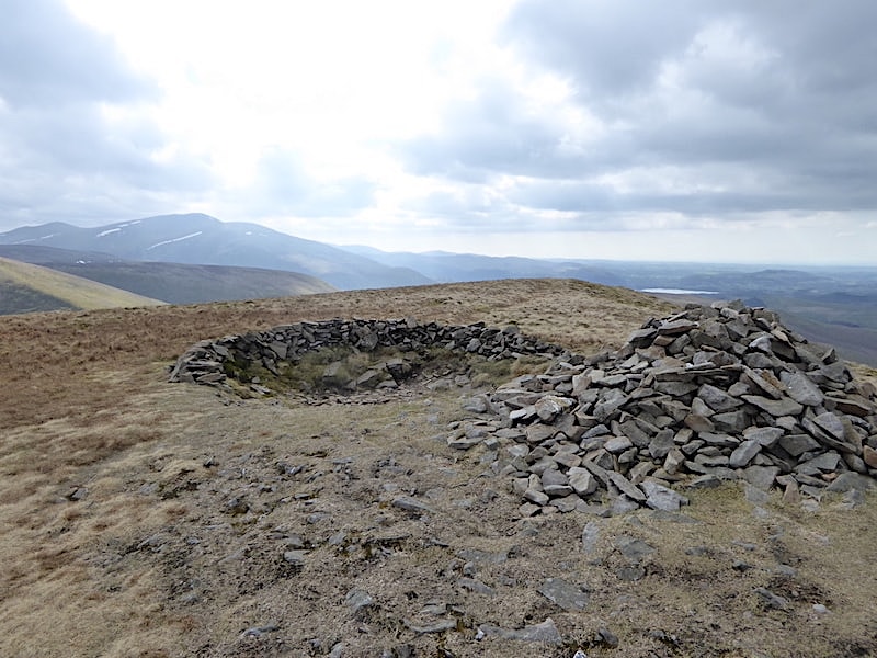
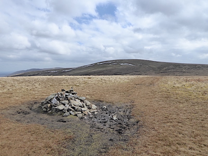
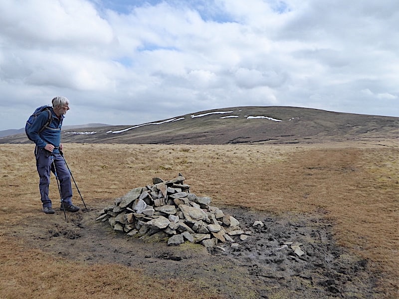
Its just a very short walk over to Little Sca Fell summit with its cairn and distinctive stone wall built around the unusual depression to provide a useful little wind shelter.
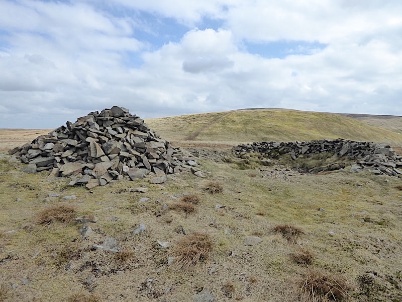
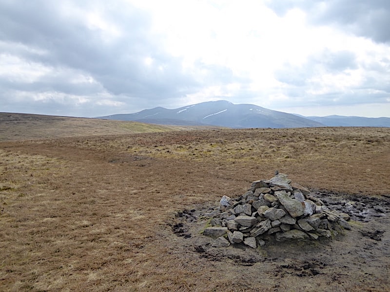
A look back to Great Sca Fell from Little Sca Fell, and then …..

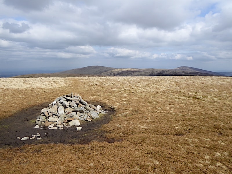
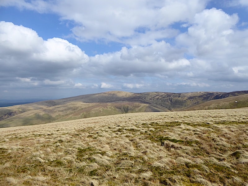
….. we head off and take the mile long walk across to Brae Fell. The left hand path, as you look at the photo, leading down from the V shaped fork in the path close by the summit is the path we’ll follow to return to Longlands. The views out to sea across the coastal plain were very murky today so it wasn’t worth trying to take any shots in that direction.
From Brae Fell summit over to the north west where High Pike is, as is often the case, getting plenty of sunlight …..
….. which I thought merited a closer look as the colours were so striking. Spring is definitely in the air today.
The view back to Little Sca Fell from Brae Fell and the easy mile long route between them.
High Pike still bathed in the sunlight from Brae Fell summit.
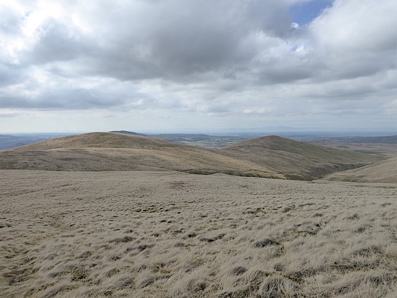
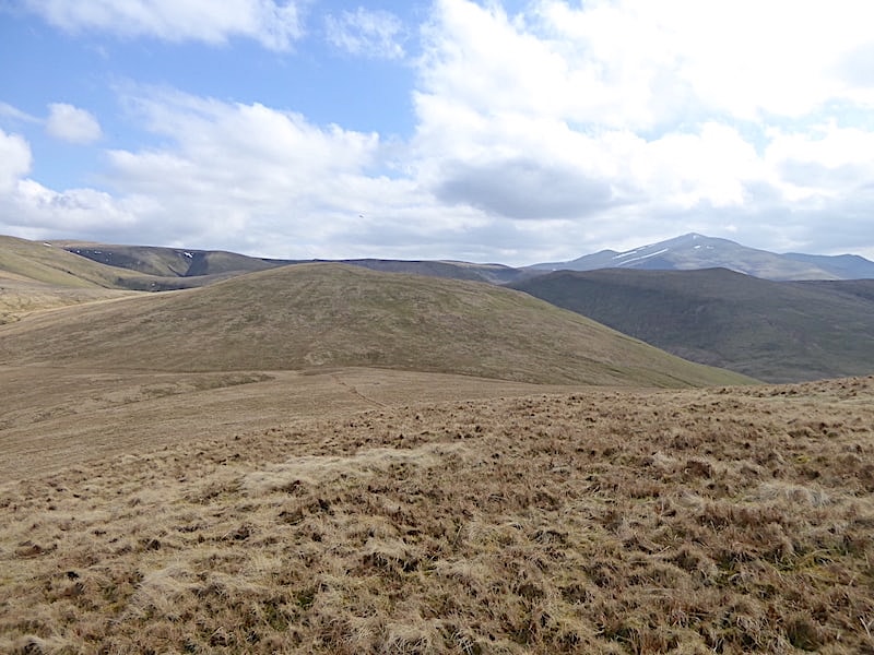
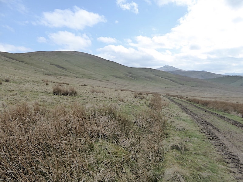
From Brae Fell we take the path down to Charleton Gill and over to Longlands Fell which is the right hand one of the two in the shot. The other one is Lowthwaite Fell, at 1670′ (509) which is a little higher than Longlands Fell at 1581′ (483m). Why then did AW select Longlands Fell rather than Lowthwaite Fell for inclusion in his list of lakeland fells? He makes no mention in his guide regarding the reasoning behind this choice so it continues to puzzle us.
Tramping down beside Charleton Gill and making our way over to Longlands Fell.
From Longlands Fell summit I took a look across to Brae Fell, on the left, and Little and Great Sca Fells over to the right …..
….. followed by a closer look at them while they were dappled with sunlight, a lovely scene on a lovely spring day.
The view back to the still brown hump of Lowthwaite Fell …..
….. with the Skiddaw group over to the right of us.
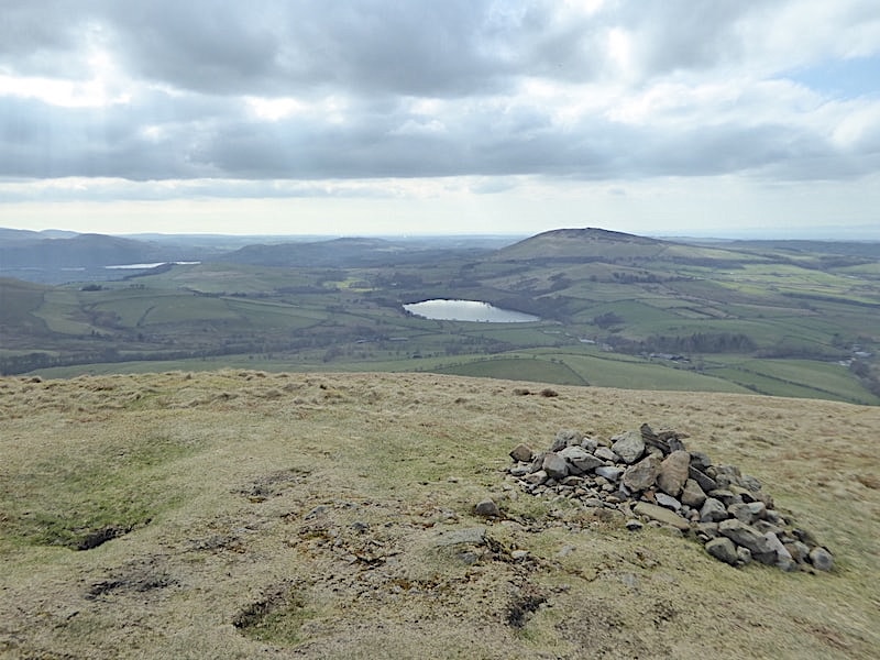
Only a heap of stones marks the summit of Longlands Fell from where there’s a view of Binsey with Overwater below it, and a sliver of Bass Lake over on the left.
The grassy path off Longlands Fell leads us down to this old bridle way, much churned up by tractor wheels today, and we follow it all the way down to …..
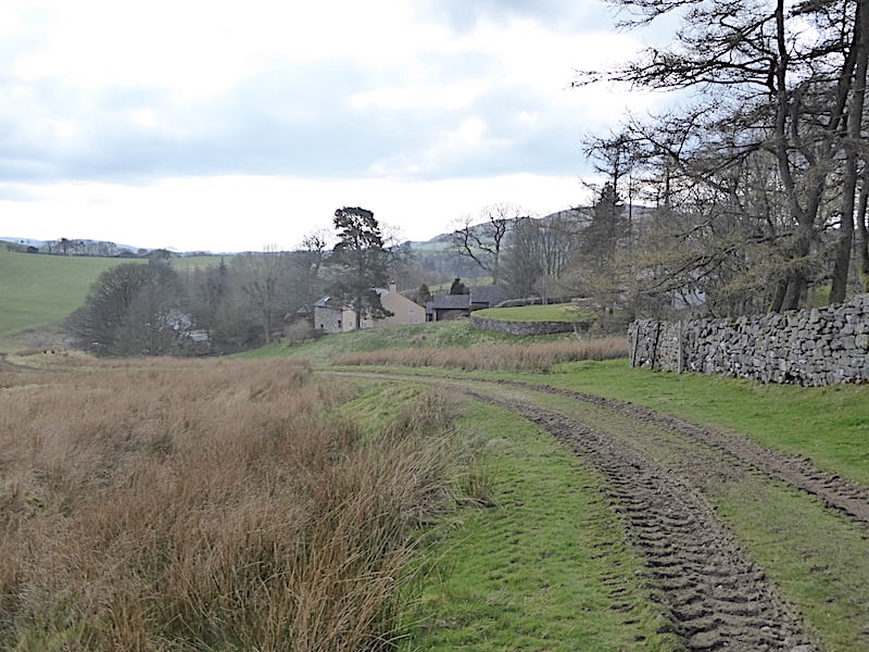
….. the little hamlet of Longlands where the car parking area is. Of the eleven cars which were parked there when we arrived earlier only three were still there when we got back. Hope their occupants have enjoyed their walks as much as we have because it was lovely weather and these fells are a joy to walk when it is. They may lack the excitement of the higher and more rugged fells but they rarely become overcrowded, the routes are straightforward and easy to follow, and you can wander from one grassy hilltop to the next in complete safety and simply enjoy the peace and quiet they have to offer.