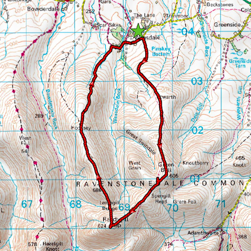
Green Bell, Randygill Top and Hooksey
Walk date – 14th June 2020
Distance – 6.3 miles
Weather – cloudy to begin with, brighter later, very warm, light breeze, hazy
We started out to do this walk on 8th June but when we arrived the cloud base was low, the skies were grey and gloomy and there was a strong and very chilly east wind whipping around so we decided to keep it on the back burner until a better day turned up. The forecast for today was encouraging with the promise of sunny spells and calm conditions although no mention was made of how humid it would turn out to be. However, the very light breeze which eventually arrived soon put an end to the humidity and we had a grand little walk in warm and mostly sunny weather.
Route
Weasdale – Pinskey Head – Stwarth – Hundhoof Pike – Green Bell – Spengill Head – Randygill Top – Leathgill Bridge – Hooksey – Weasdale
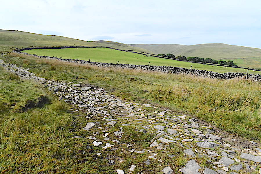
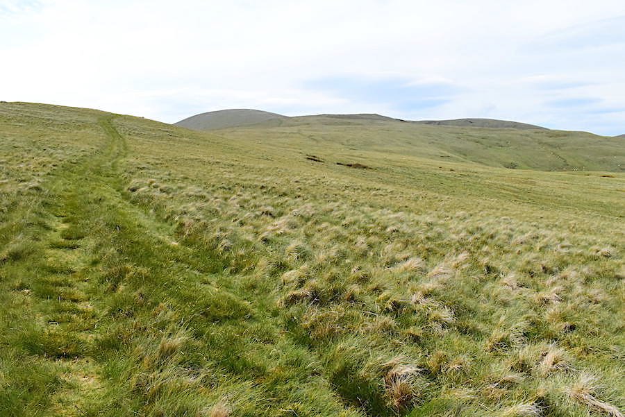
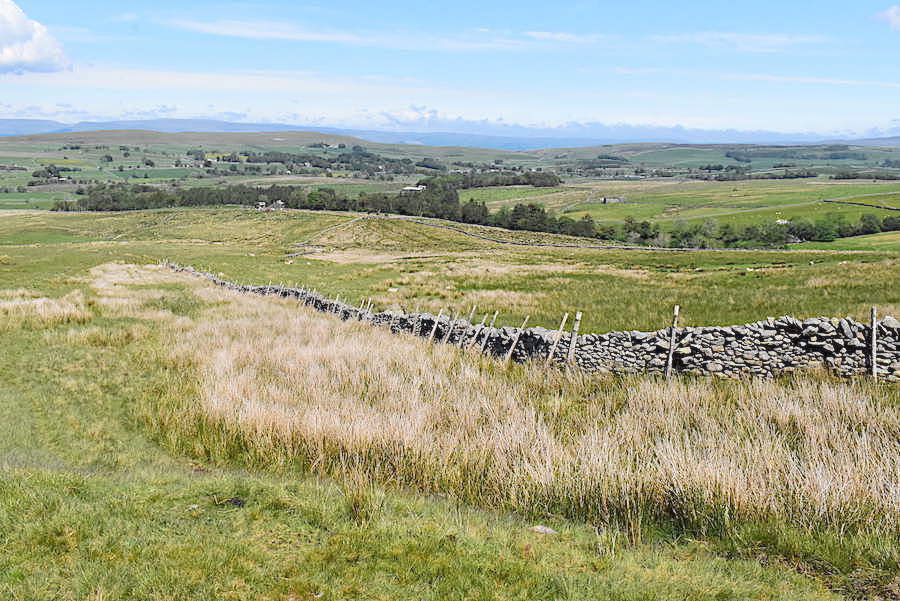
The path we’re using is very rough and stony to begin with but it does improve a little further along where it turns into a grassy quad bike trail.
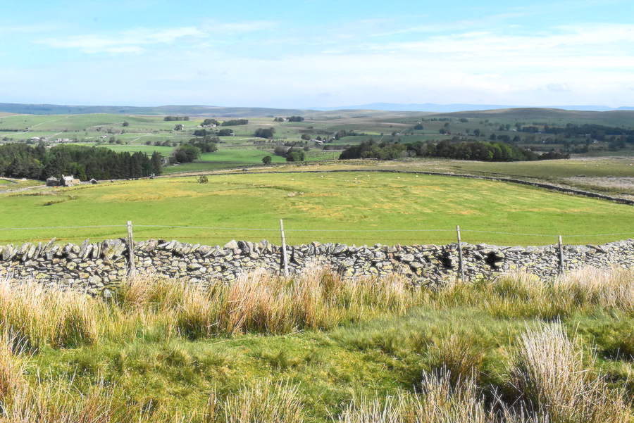
Looking to our right over the walled pasture. The building on the left is a derelict farm and we parked at the roadside just a little further to the right of it, as viewed from the shot. The rough path begins just a few paces further on, to the right of the car, and then follows the wall around the pasture.
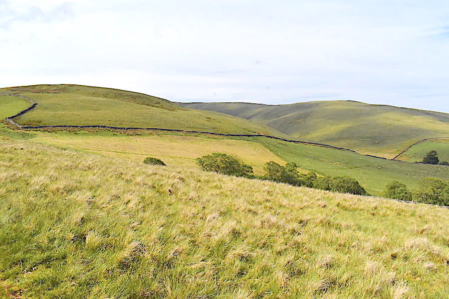
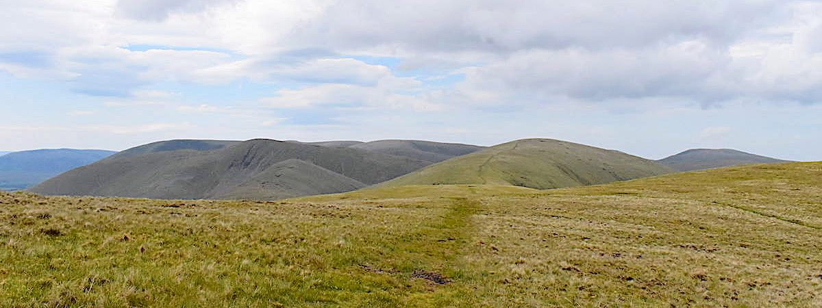
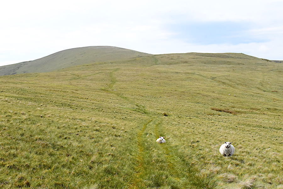
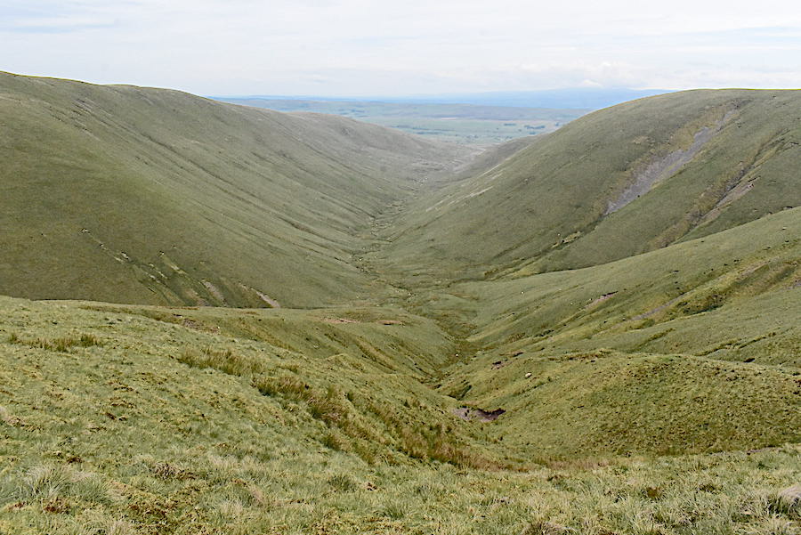
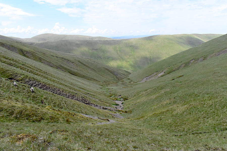
The path climbs steadily up to Pinskey Head and across the Weasdale valley is Hooksey which will be our return route.
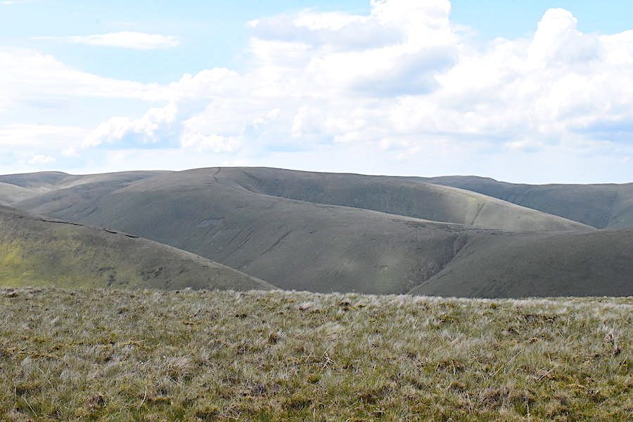
Its a very muggy morning and there’s no breeze so despite the gentle gradient it isn’t long before we need to take a drink and wipe our shiny faces. On the left skyline Green Bell and West Grain are beginning to appear and below us is Will Gill.
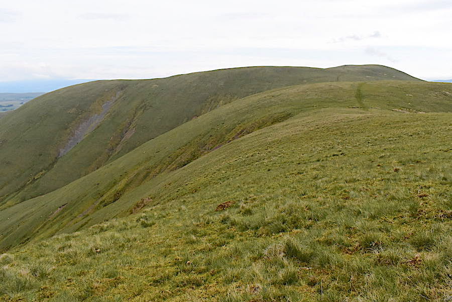
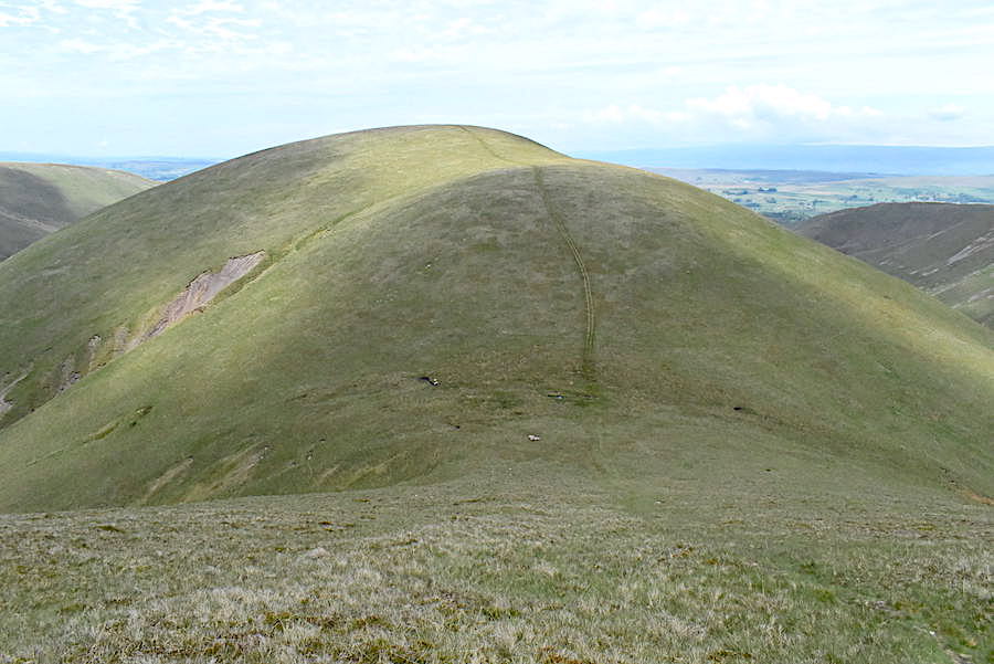
A closer look at Green Bell and West Grain as we approach Pinskey Head.
Towards the end of the enclosed pasture we reach Pinskey Head. Hooksey is on the skyline to the west of us.
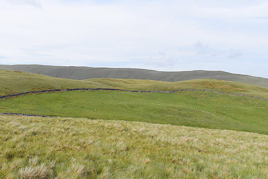
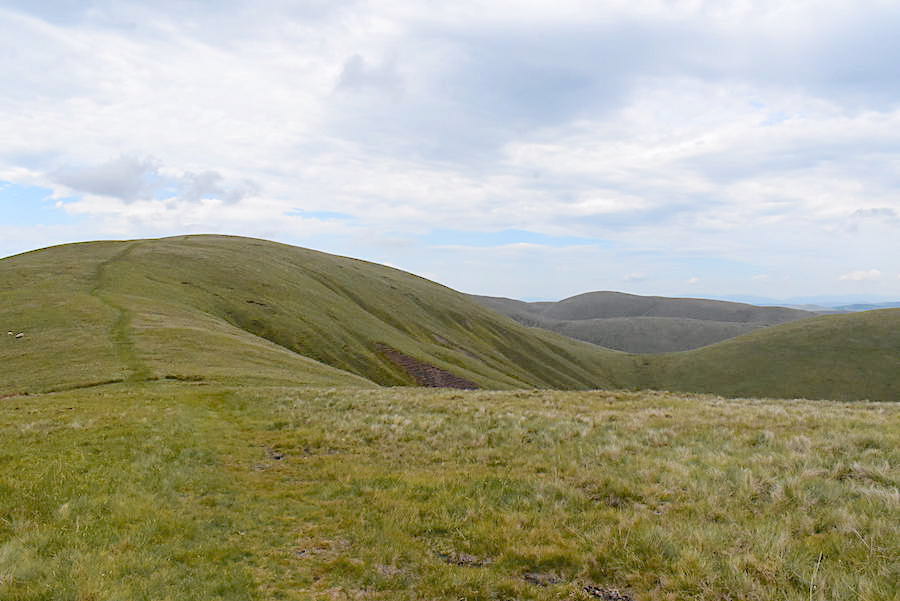
From Pinskey Head the path leads us over to Stwarth and …..
….. beyond the crest of Stwarth the quad bike trail leads us over Hunthoof Pike …..
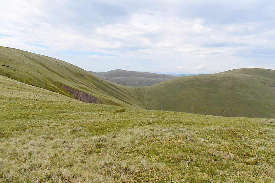
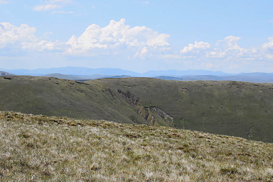
….. and from the slopes of Hunthoof Pike a look back at our route from Stwarth. Distant views were very hazy and the northern Pennines were barely visible.
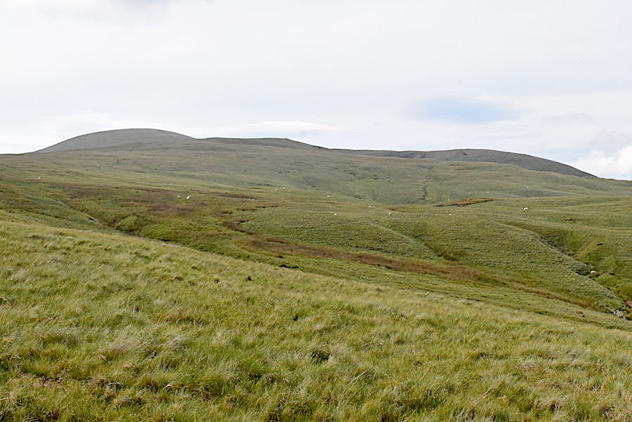
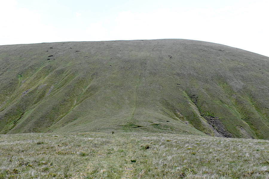
Beyond Hunthoof Pike and on the way to Green Bell. The ground rises a little more steeply but the gradient is still steady, the only thing making it warmer work than it should have been were the muggy airless conditions. Pockets by this time were stuffed with damp and ragged scraps of tissues. Note to self – remember to bring the face towel in future.
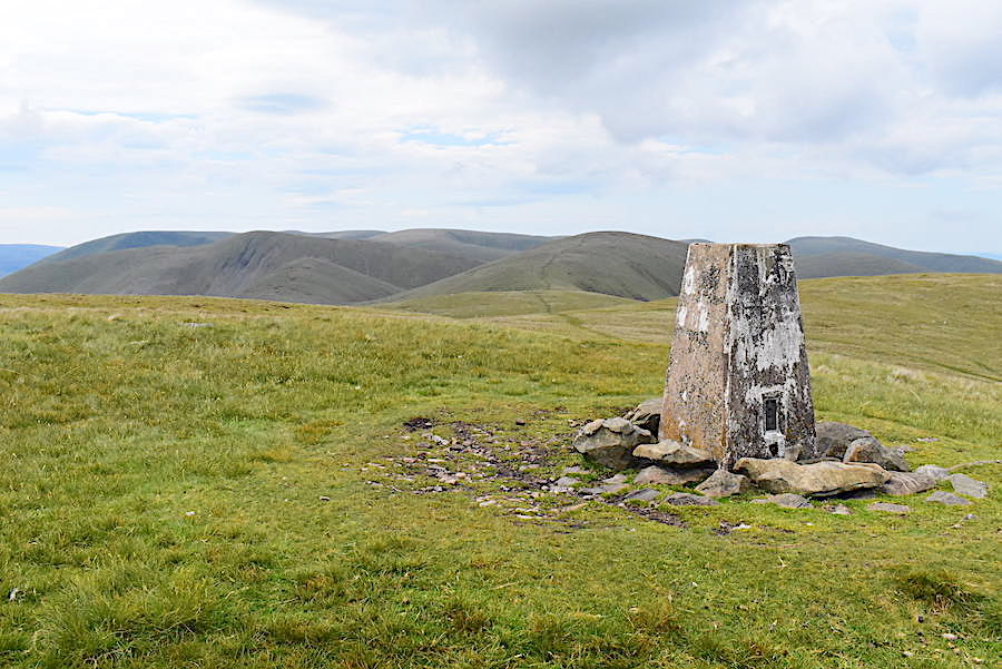
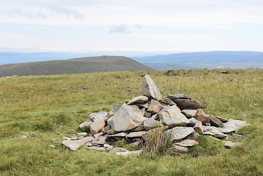
Green Bell summit has a trig point, a rare feature in the Howgills, from where I took this view looking ahead towards Randygill Top just to the left of it. At last we feel some air movement as a slight breeze coming up from the south greets us when we arrive.
The view south from the trig point and just to the right of it, on the centre skyline, Whernside and Ingleborough have come into view.
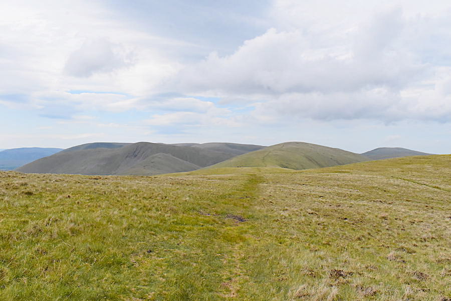
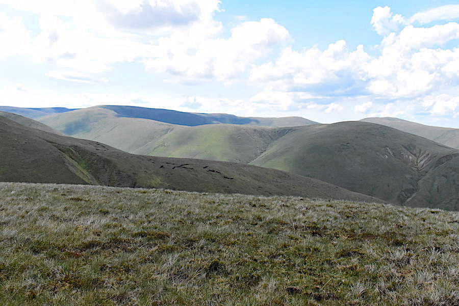
We take a short break for drinks and snacks on Green Bell and then begin to make our way over to Randygill Top. Yarlside and Kensgriff are just beside it on the left.
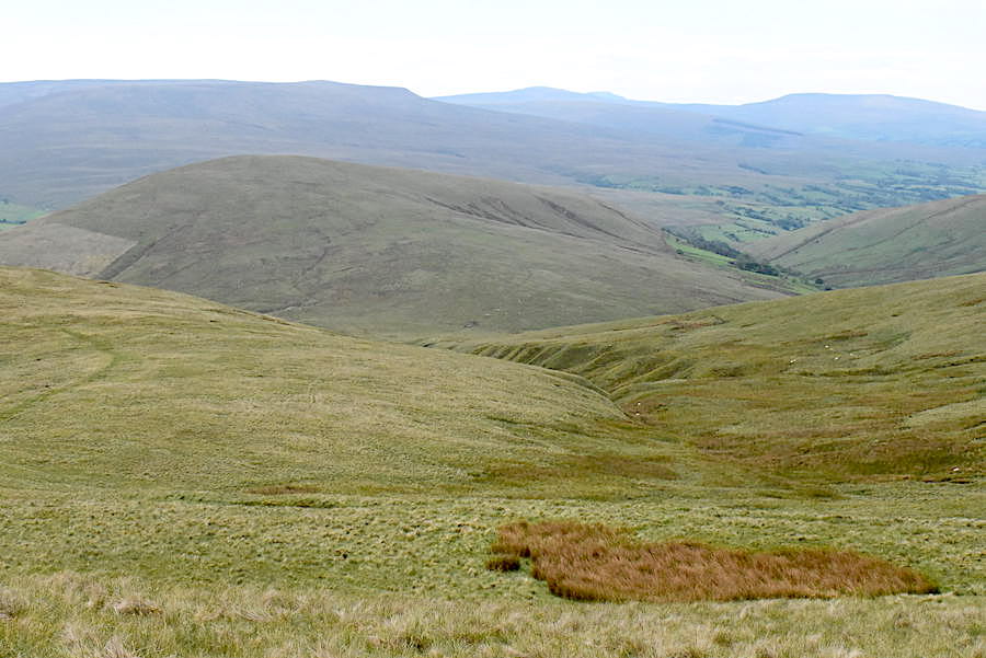
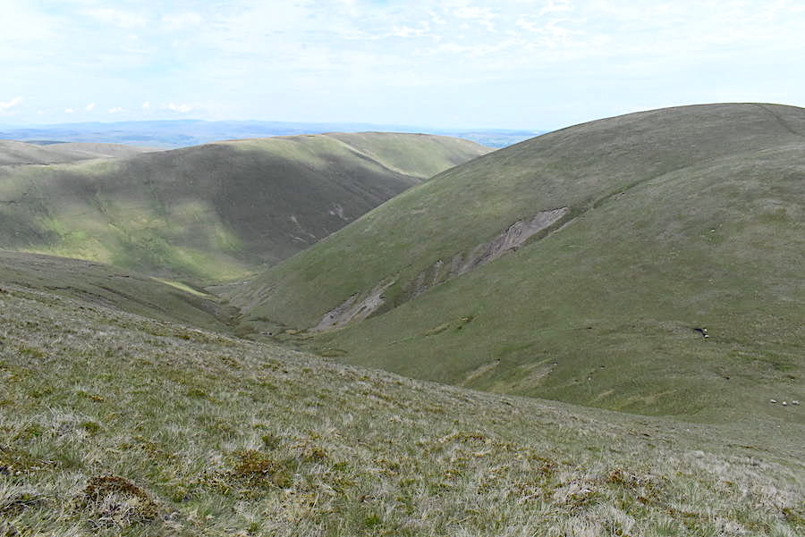
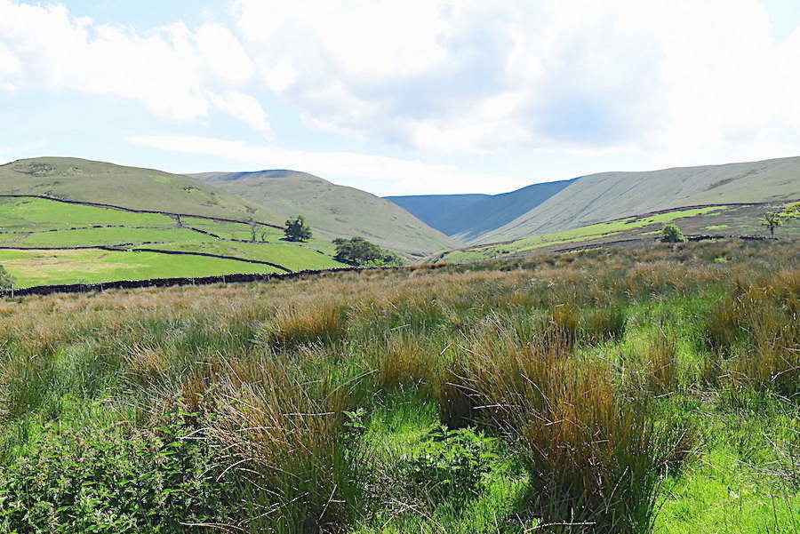
On the way across we took a short diversion to look along one of the side valleys along Weasdale. This one is Great Swindale.
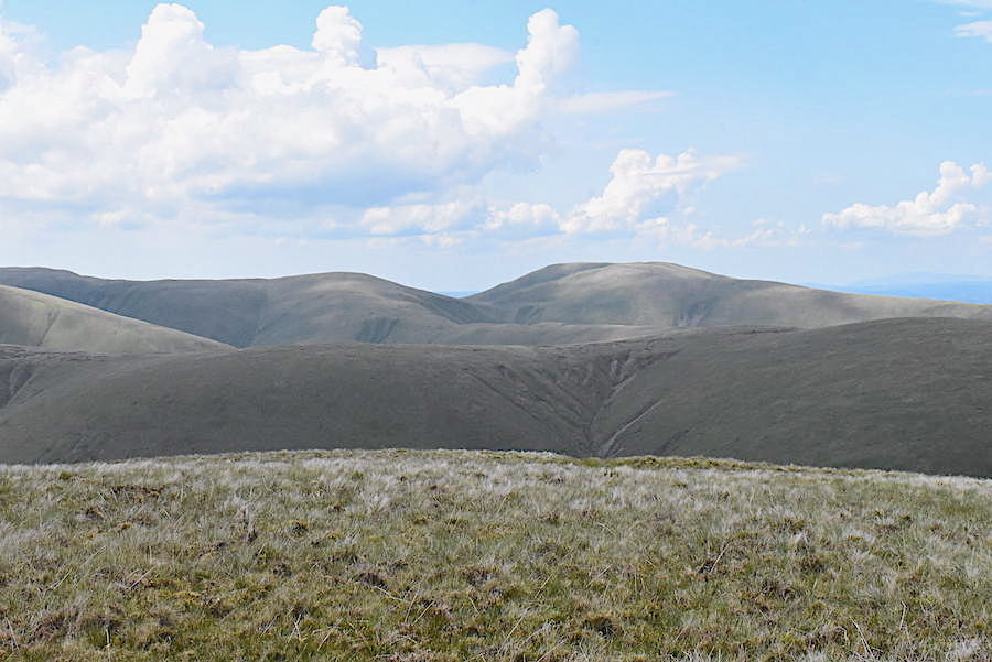
Crossing Spengill Head with a view down to Wandale Hill where we walked on 28th May this year. Views to the south and east were not good so I didn’t take many photos in those directions.
Relaxation for the legs on the easy stroll across Spengill Head with the light breeze making the mugginess much more bearable.
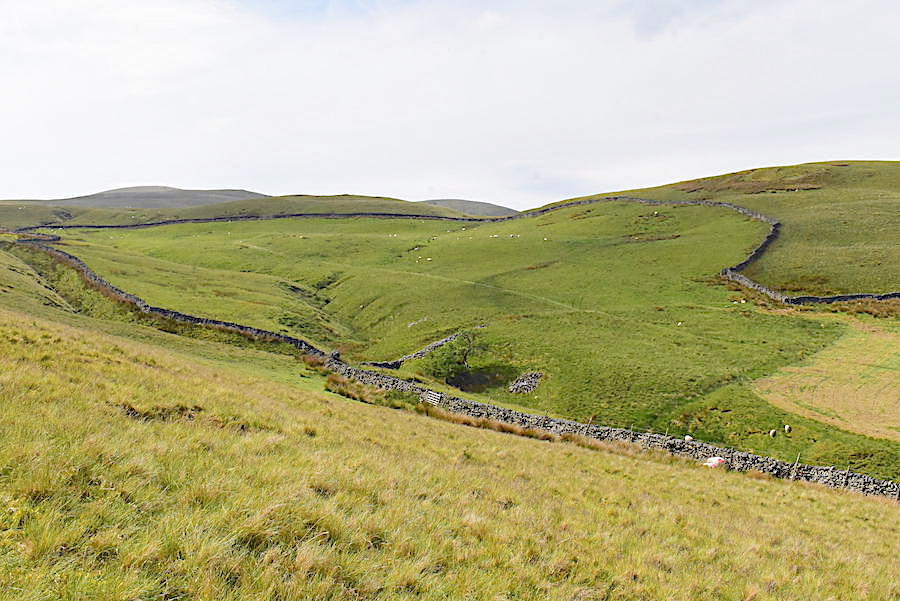
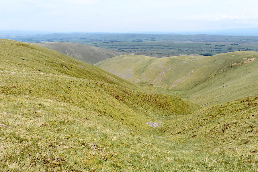
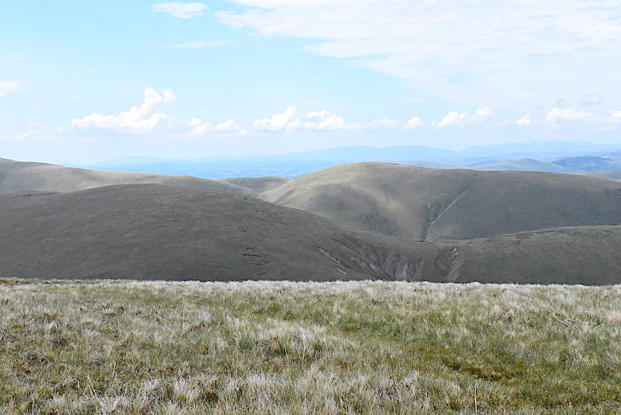
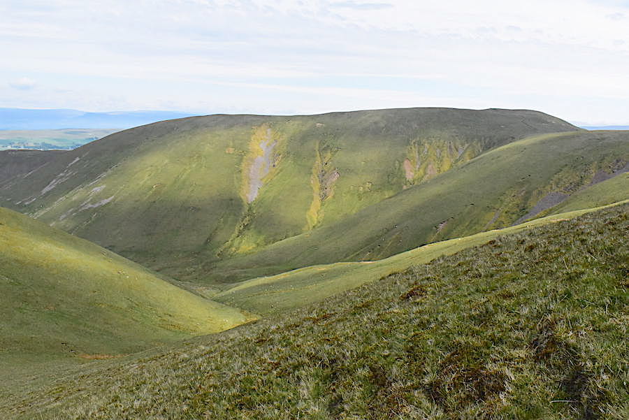
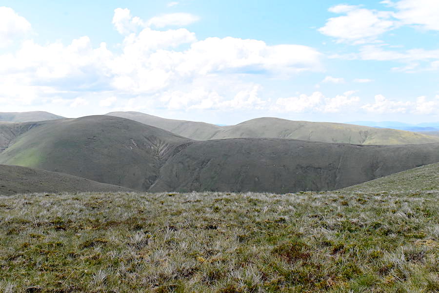
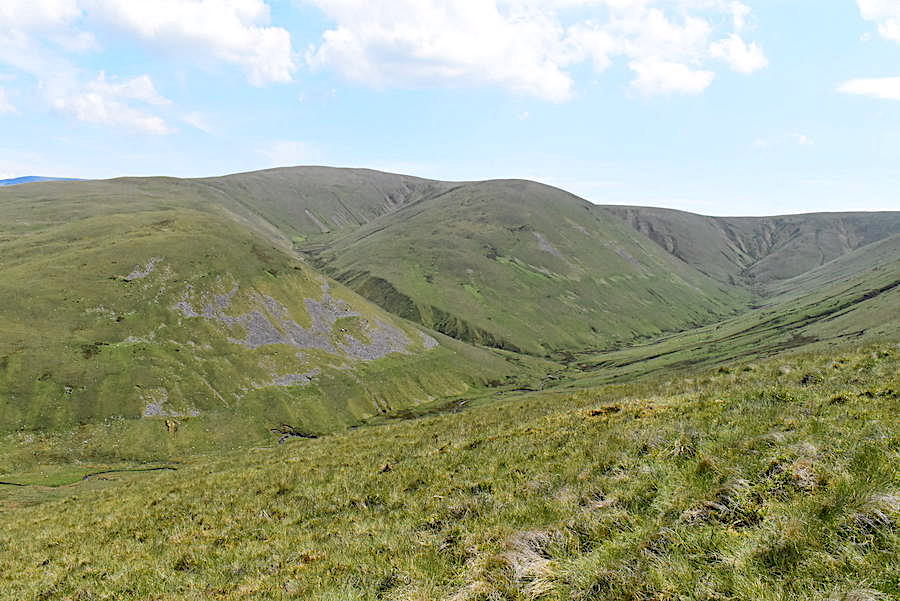
Over on the right is Leathgill Bridge, the depression between Randygill Top and Hooksey and that’s the route we’ll be taking on our return leg.
A closer look at Leathgill Bridge, with Simon’s Seat on the centre skyline above the ridge between West Fell and Hazelgill Knott. The cloud is high and thin but there’s a lot of it so not much sunlight is getting through at the moment.
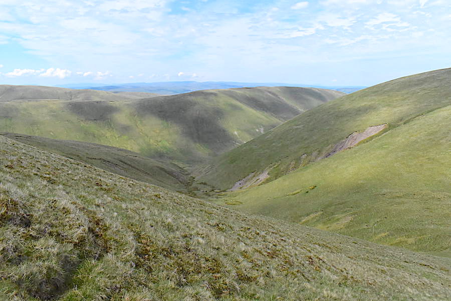
Further along we make another small diversion from the main path for this view along Weasdale.
Heading back to rejoin the path with a look back to Green Bell, on the right, and West Grain on the left.
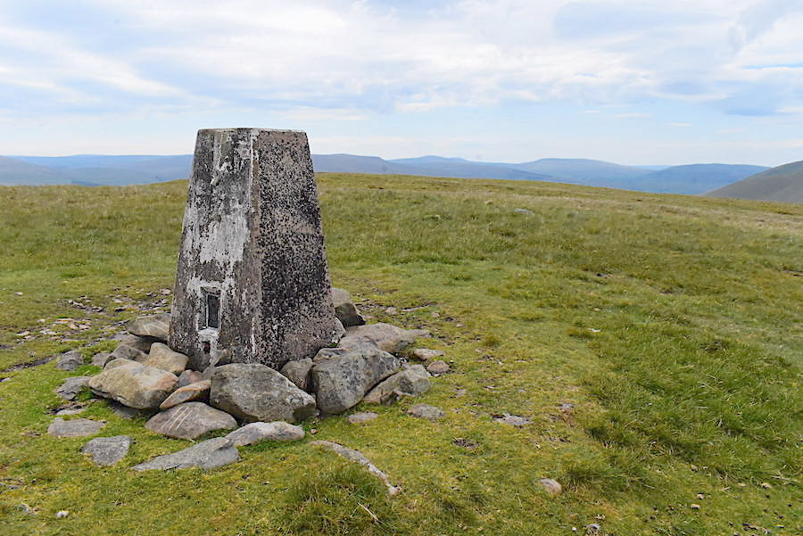
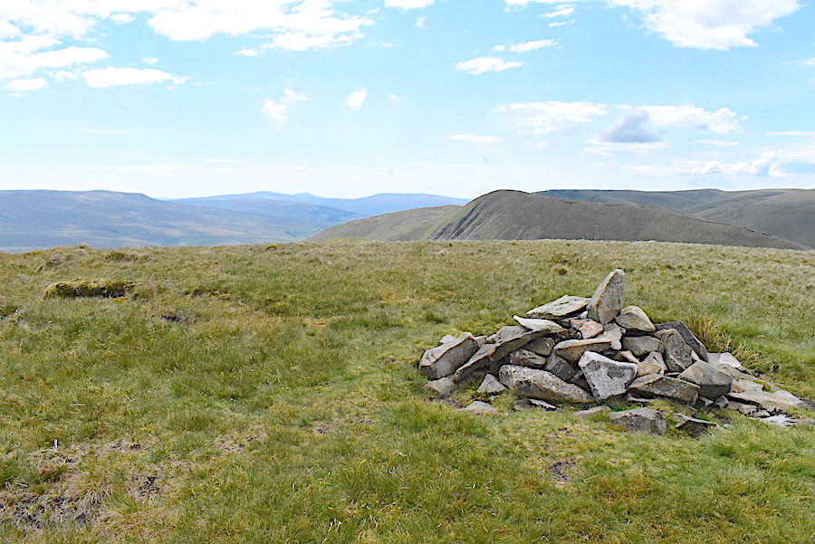
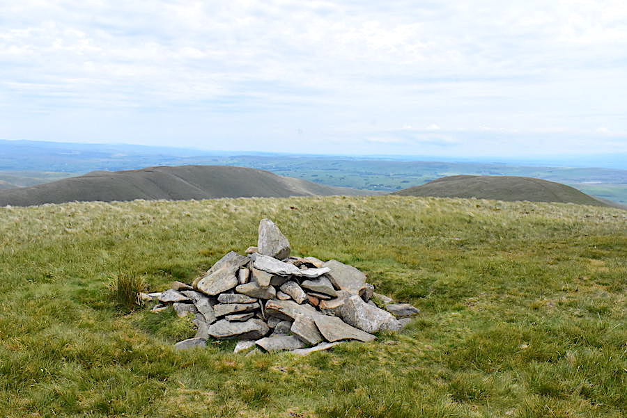
View back to Green Bell from the summit cairn on Randygill Top.
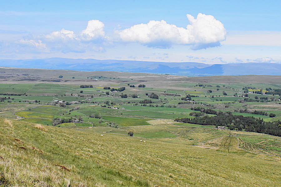
View to the south from the summit cairn. We could see that the cloudy conditions would eventually give way to sunnier conditions when this clearer weather arrived, but it was a slow process and large clumps of high cloud remained overhead for the next half an hour or so.
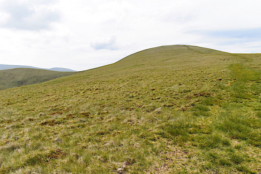
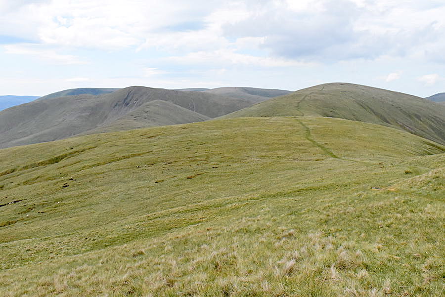
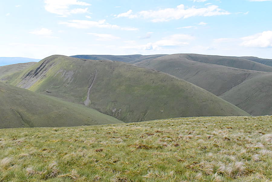
Only the very tops of West Fell and Hooksey are visible from the rounded summit of Randygill Top.
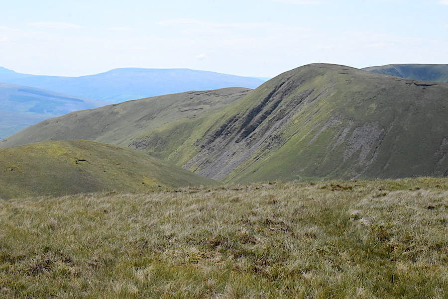
Moving away from the summit area for this view of Yarlside, which has steep slopes in abundance on every side and whichever route is taken it involves a very steep climb to reach the summit.
A closer look at the craggy face of Yarlside when a brief hint of sunlight landed on it. Here’s a few more views from the summit …..
….. West Grain and Green Bell …..
….. the ridge line from Hazelgill Knott leading over to the summit of The Calf …..
….. Bush Howe and Fell Head …..
….. and Simon’s Seat behind Hazelgill Knott.
West Grain and Green Bell again as we leave the summit and head for the steep descent path …..
….. down to Leathgill Bridge. The quad bike tracks indicate that the climb up to Hooksey is not as steep, there are no such tracks on this side. A couple coming up were almost over the worst of it as we started descending the steepest section, the young man had just managed to get himself upright, his female companion was still using all fours to get over the last few feet before she could do the same.
West Fell from the descent to Leathgill Bridge. The sunnier skies haven’t quite reached us yet …..
….. but some dappled sunlight reached West Grain and Green Bell as we descended …..
….. followed by a little more over on West Fell but …..
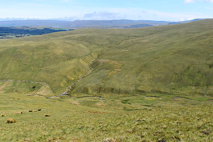
….. we were still under the cloud cover as we reached the bottom of the hill and gazed down Leath Gill and across to West Fell.
Not a great shot but I couldn’t wait any longer for the cloud to budge so here’s a look back down to Leathgill Bridge and the steep climb up to Randygill Top. The steepest section comes to an end beyond the tops of the gills on either side so the agony isn’t too prolonged.
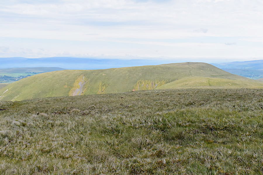
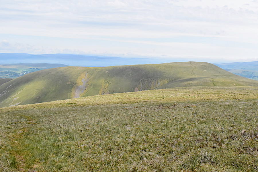
The views from Hooksey are just the same as the ones from Randygill Top but the fells now had some sunlight on them so I took a few more shots. Beyond the lower slopes of Randygill Top is the Hazelgill Knott ridge heading over to The Calf.
To the west is Hazelgill Knott and beyond that are Bush Howe, Fell Head and Simon’s Seat …..
….. and just about the same view from the tiny cairn on the summit of Hooksey. From here we had a very enjoyable walk along Hooksey’s summit ridge back to Weasdale with sunshine all the way now that the earlier cloud had drifted off northwards.
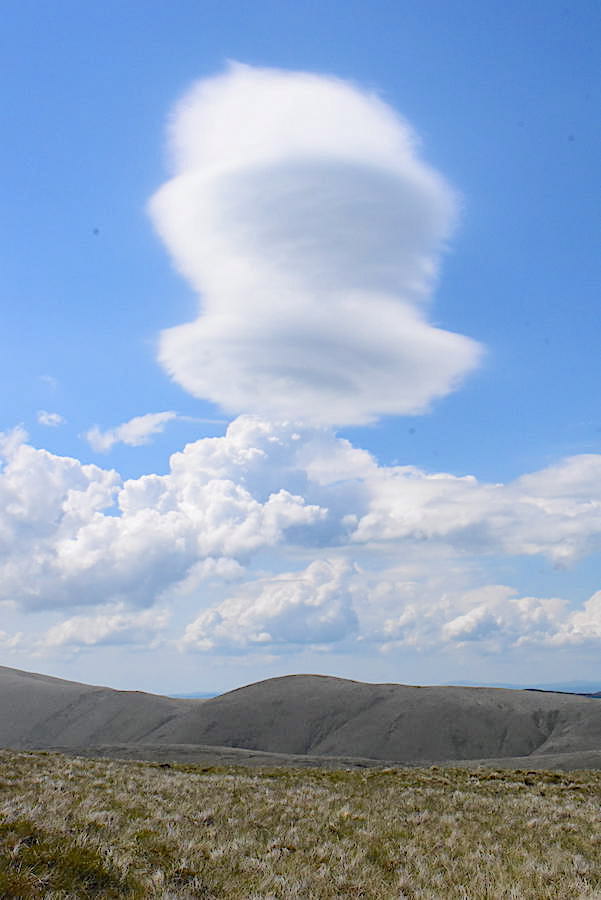
I just happened to look across to Simon’s Seat as we were walking across the ridge and my jaw dropped when I saw this absolutely stunning lenticular cloud above us. Definitely the highlight of the walk for both of us because it was such a spectacular sight. Within fifteen minutes it was gone and simply became just another cloud.
Looking over to West Grain and Green Bell from the ridge walk across Hooksey.
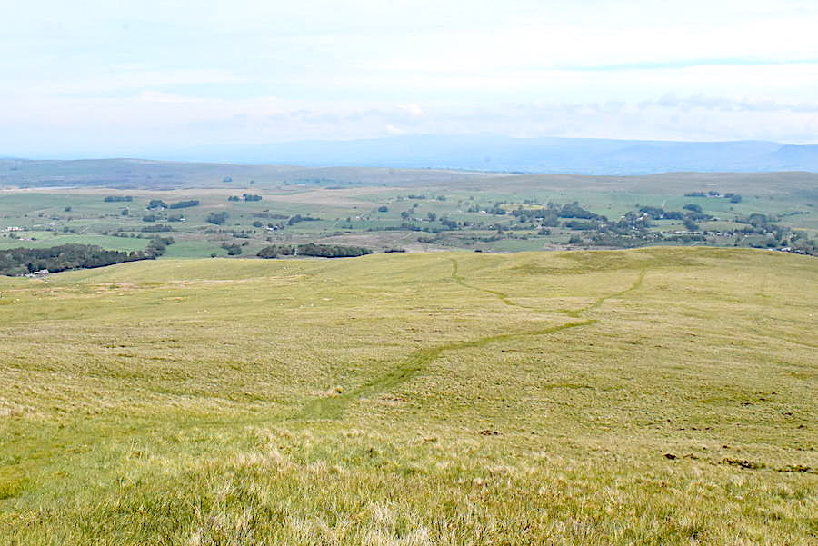
The view ahead as we begin to descend to Hooksey’s lower slopes. The cloud is still bubbling up across the north Pennines but we can make out Cross Fell towards the left and the beginning of High Cup Nick over on the right.
On the very distant blue skyline beyond West Fell and the various humps and bumps behind it we can see the Coniston fells to the left, and the Scafell group to their right. The gap between them is the Wrynose Pass.
Weasdale Beck immediately below us with another side valley, Little Swindale, feeding into it. If you squint very hard you might be able to see Mallerstang Edge, High Pike and Hangingstone Scar on the centre skyline.
A look back along Weasdale. Green Bell is left of centre with the side valley of Great Swindale descending from it and joining Weasdale between Turn End and West Grain. Spengill Head is over to the right at the head of the valley.
We left the main path at this point and headed down to the walled enclosure below, aiming for the wall corner on the left.
From the wall corner its just a matter of following the wall all the way down to the buildings just in front of the trees. The road we are parked on ends at that building so once we are down there we only have to turn right along the lane for a short stretch of road walking back to the car.
A look back along Weasdale as we reach the little hamlet bearing the same name with only a handful of dwellings.
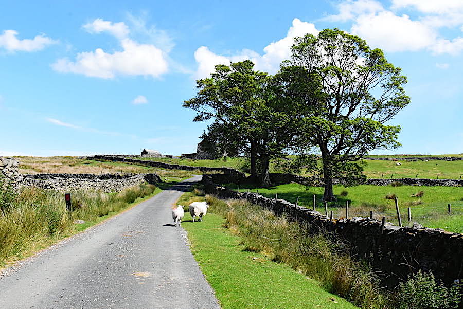
Back on the lane and heading up to the derelict farm with a group of locals for company.
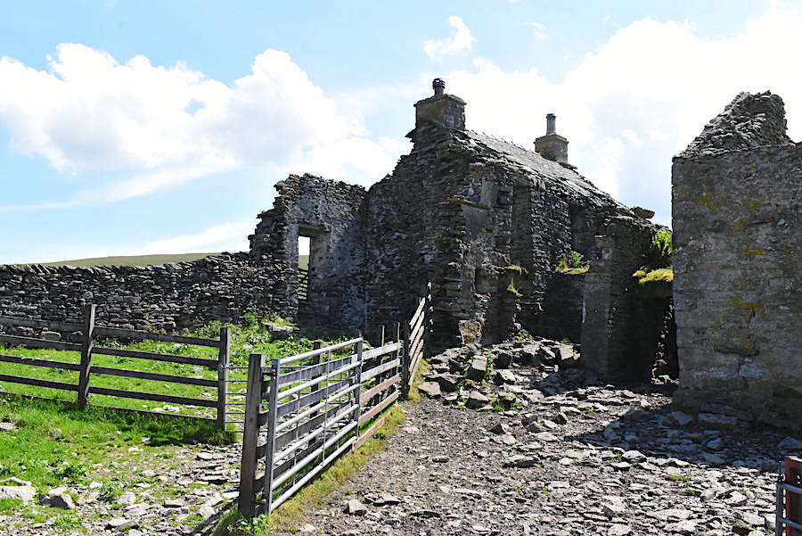
The old farm buildings are in a sorry state but the group of stock pens which were in front of them looked as though they are still being used.
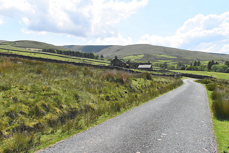
A look back to the old farm, Hooksey and Weasdale from where we parked the car. We saw only a handful of people today, a group of four approaching Green Bell as we left it, the couple clambering up from Leathgill Bridge and a pair of runners along the Hooksey ridge so we had peace and quiet in spades. It might have been a different experience altogether over on the Lake District fells on such a pleasant Sunday.