Seven Langdale Fells – Sergeant Man, High Raise, Thunacar Knott, Pavey Ark, Harrison Stickle, Pike O’Stickle and Loft Crag
Sergeant Man, High Raise, Thunacar Knott, Pavey Ark, Harrison Stickle, Pike O’Stickle and Loft Crag
Walk Date – 6th August 2015
Distance – 7.5 miles
Weather – rain in morning, dry but cloudy and windy in afternoon
Route
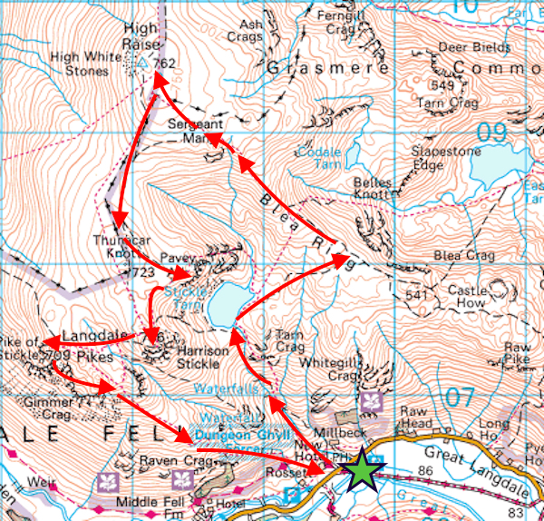
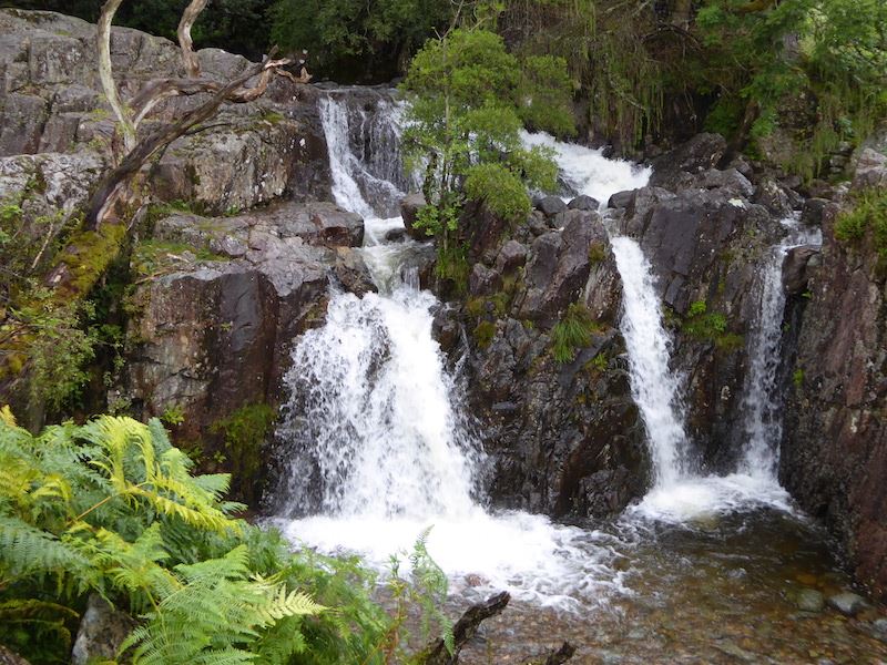
After waiting in the New Dungeon Ghyll car park for the rain to stop for almost an hour we finally set off, taking the path alongside the waterfalls in Stickle Ghyll.

Pike How towering above us as we climb alongside Stickle Ghyll.
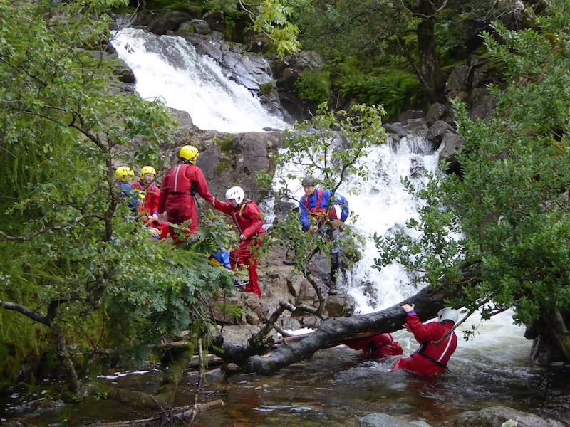
A group of ghyll scramblers further up the ghyll. The youngsters in the group grumbled in the car park (it was raining), grumbled on the way up (it was steep and a long way) and were still grumbling when the activity got under way (it was cold and slippy). I wonder if they already knew that there might not be a mobile phone signal either?
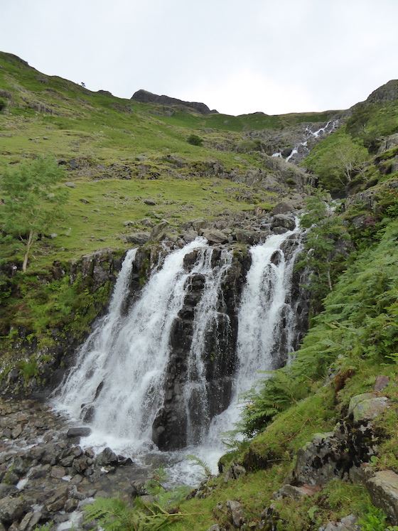
There was a lot of rain last night so there’s plenty of water in the ghyll today.
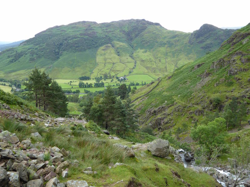
A good view of Lingmoor Fell and Side Pike as we gain more height.
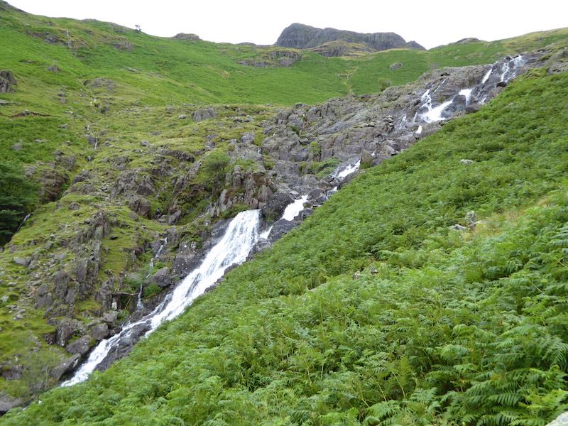
Harrison Stickle comes into view above the cascade.
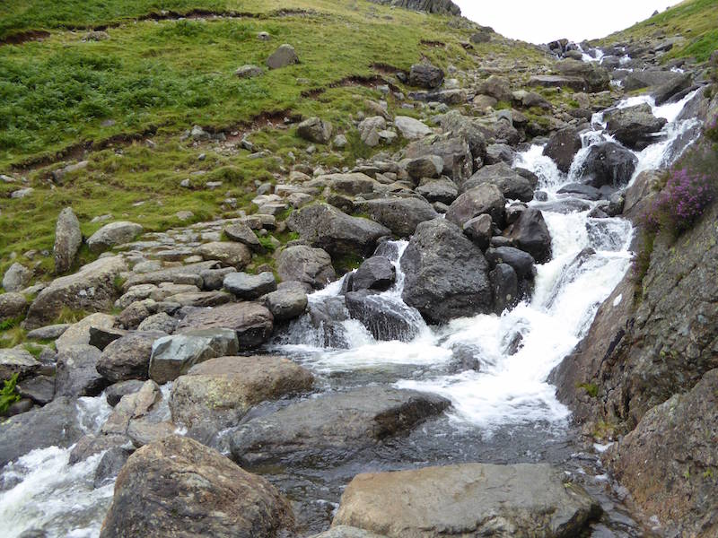
A little extra care was needed in getting across as the stepping stones were very wet.
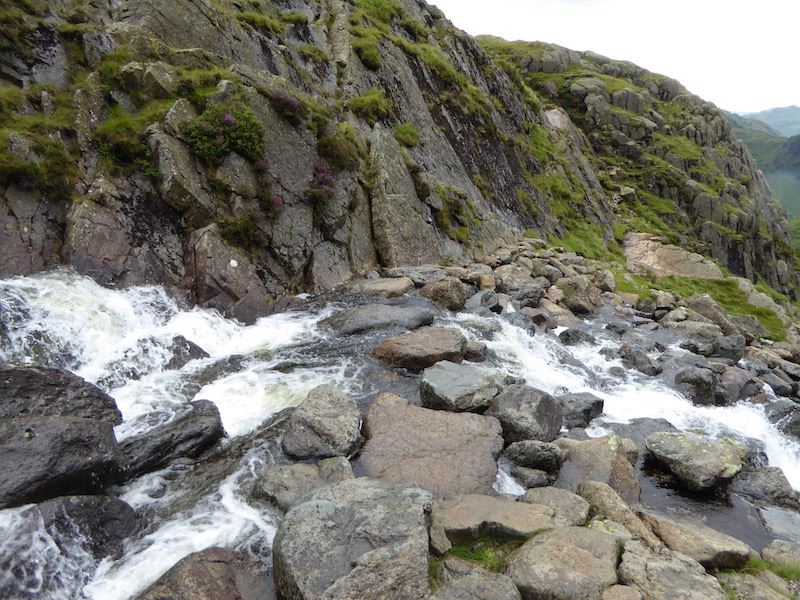
Safely across and a look back at the crossing point.
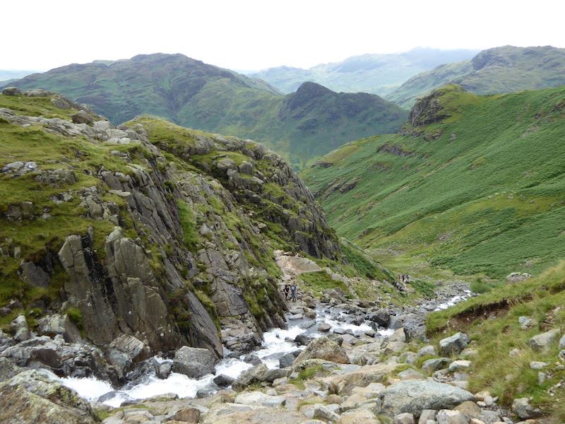
We’re almost at the top of Stickle Ghyll now. The path was very busy.
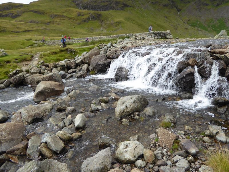
The outflow at Stickle Tarn, dozens of people up here today.
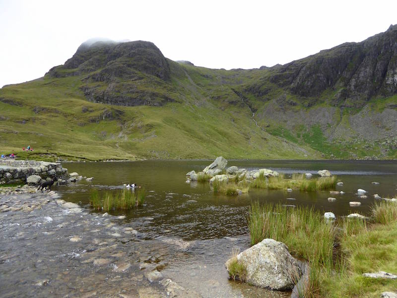
Stickle Tarn with Harrison Stickle behind it, and a bit of Pavey Ark on the right. I swear that black and white dog in the tarn wasn’t there when I lined up the picture.
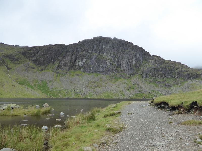
Pavey Ark, I couldn’t see anyone on Jack’s Rake today, maybe it was a bit too wet for safety.
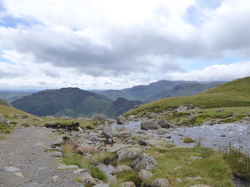
Stickle Tarn outflow with Bowfell just to the right of the centre horizon under the stream of white cloud.
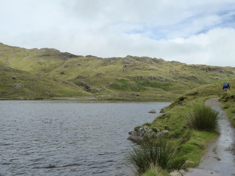
After a short break at the tarn we carried on over to the Blea Rigg ridge to continue the walk. No-one else came along after us from the tarn and it was a relief to escape from the crowds and the barking dogs.
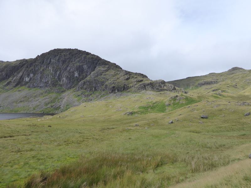
Pavey Ark on the left, as we head for Sergeant Man, that large bump over on the right skyline.

Harrison Stickle on the left and Pavey Ark, looking a bit like a hot cross bun, on the right.
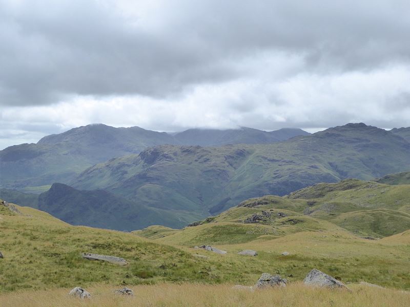
A view from the ridge as we squelched our way along it.
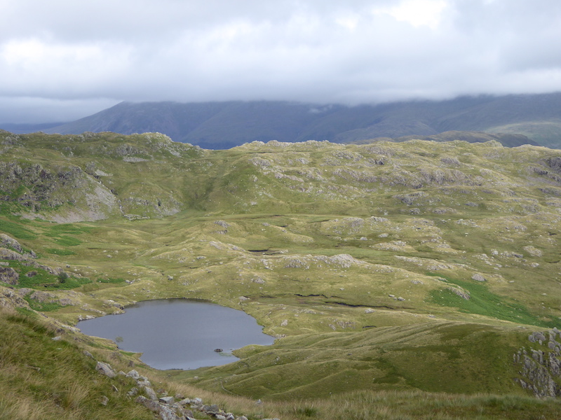
Just off the path we found a sheltered spot with this view of Codale Tarn, so we took a break here and had something to eat.
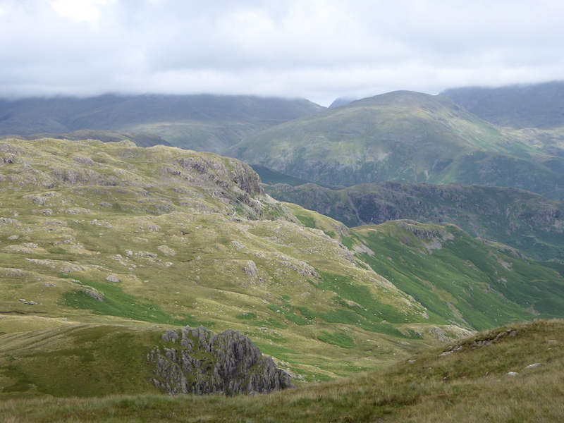
The rocky outcrop below is Belles Knott with Tarn Crag behind it. The cloud is beginning to break up.
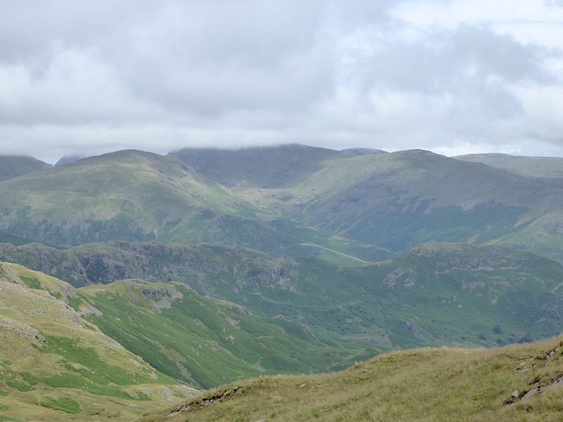
Looking to the east and under the cloud in the centre is Fairfield.
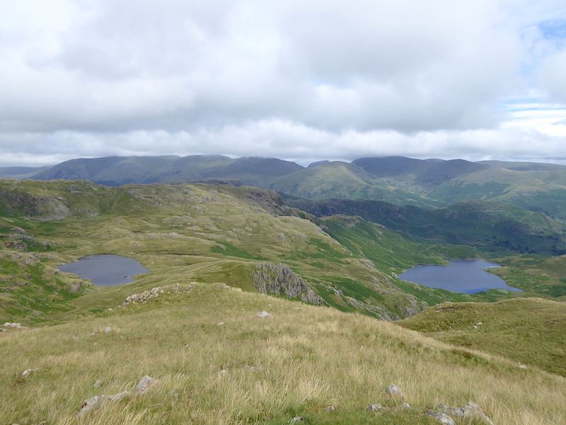
Looking back from higher up the ridge for a view of Codale tarn and Easedale tarn. The cloud is slowly lifting from the eastern fells.
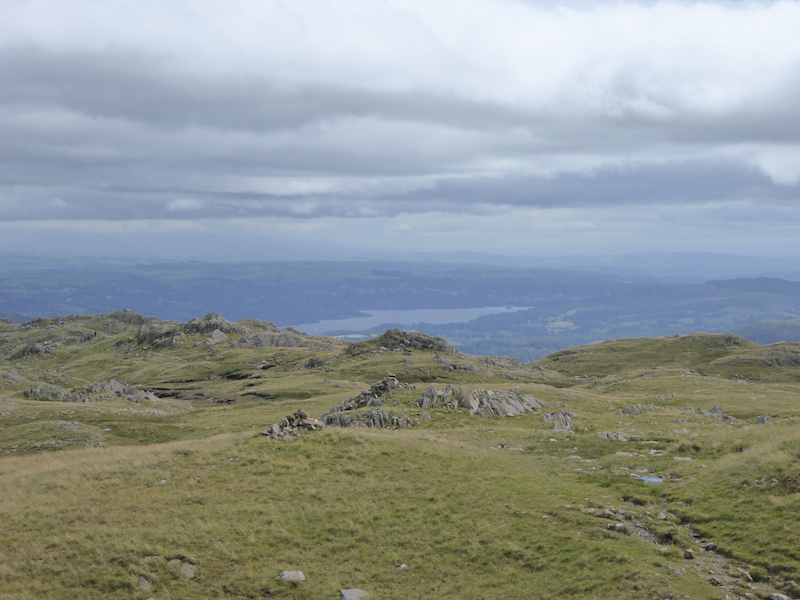
A grey Windermere in a grey landscape under grey skies, what a grey day.
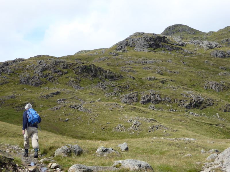
Further along the ridge and we get a glimpse of the sun for a while. Sergeant Man up there on the right seems as far away as ever.
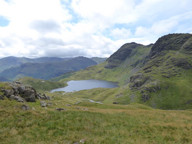
There was a good view of Stickle Tarn as we walked along a very, very soggy ridge up to Sergeant Man.
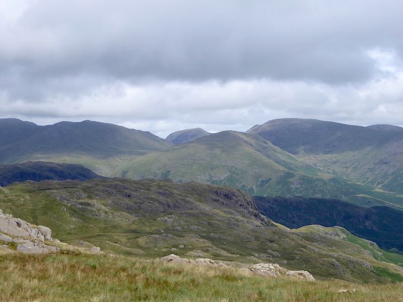
Hallelujah, the cloud has lifted. Now we can see Saint Sunday Crag, centre skyline, Fairfield to the right of it and Dollywagon Pike to the left ot it. The large hump in the middle is Seat Sandal and below that is Tarn Crag.
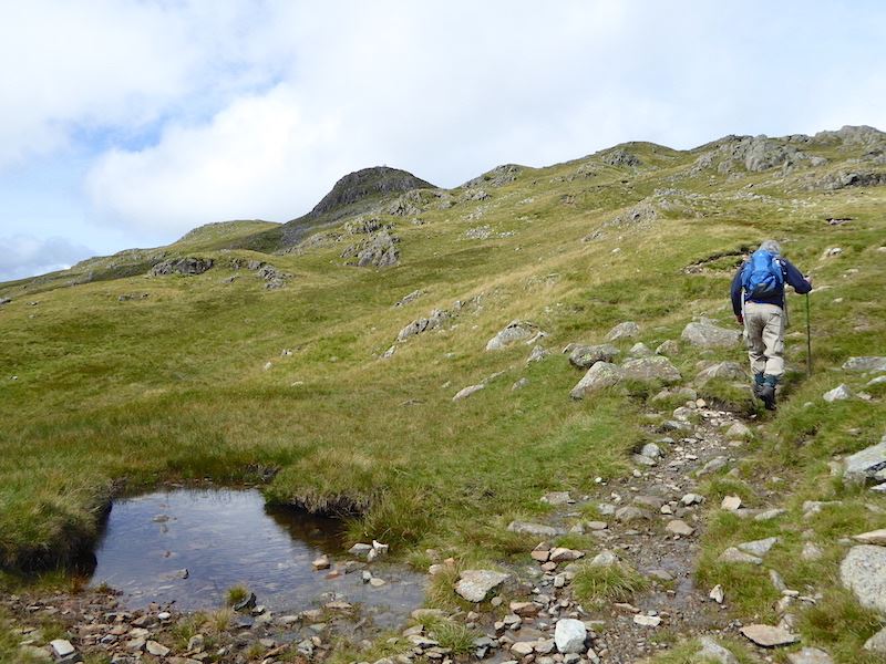
Will we ever get to Sergeant Man? The ridge route seemed never ending and a lot further than I remembered, or perhaps I was just getting impatient. At least we can see a couple of walkers on the summit.
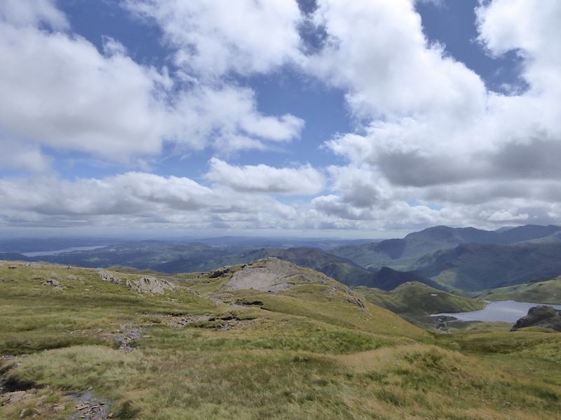
The clouds are finally breaking up and allowing some sunshine through now and then. Down below us in the right hand corner is Stickle Tarn.
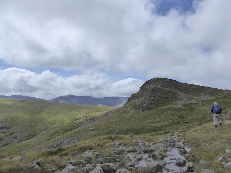
At last Sergeant Man is within reach. To the left of it Bowfell is now clear of cloud and its pointed peak is clearly visible.
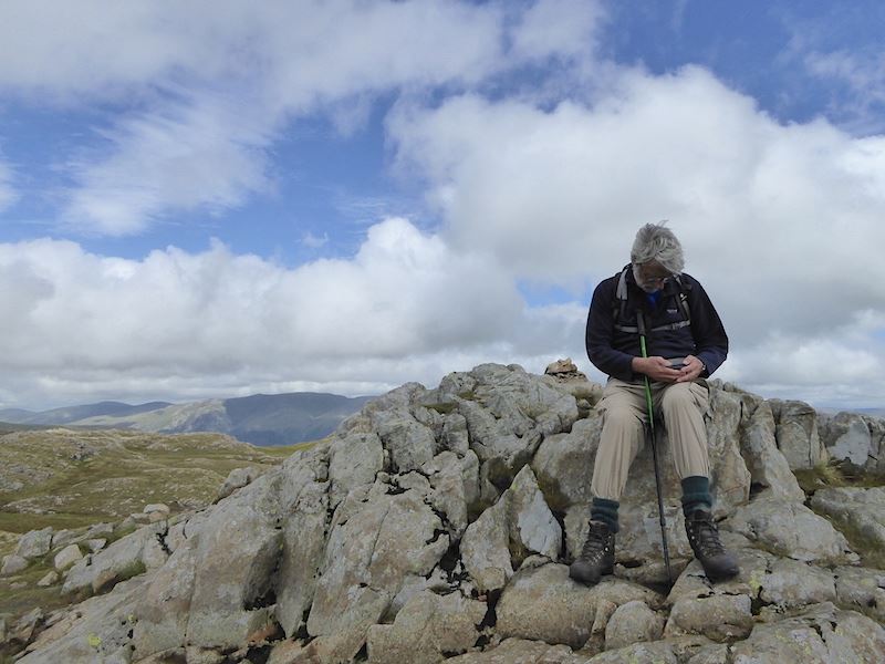
Sergeant Man summit and a chance to sit down for five minutes. If that GPS doesn’t say Sergeant Man then we are in serious trouble.
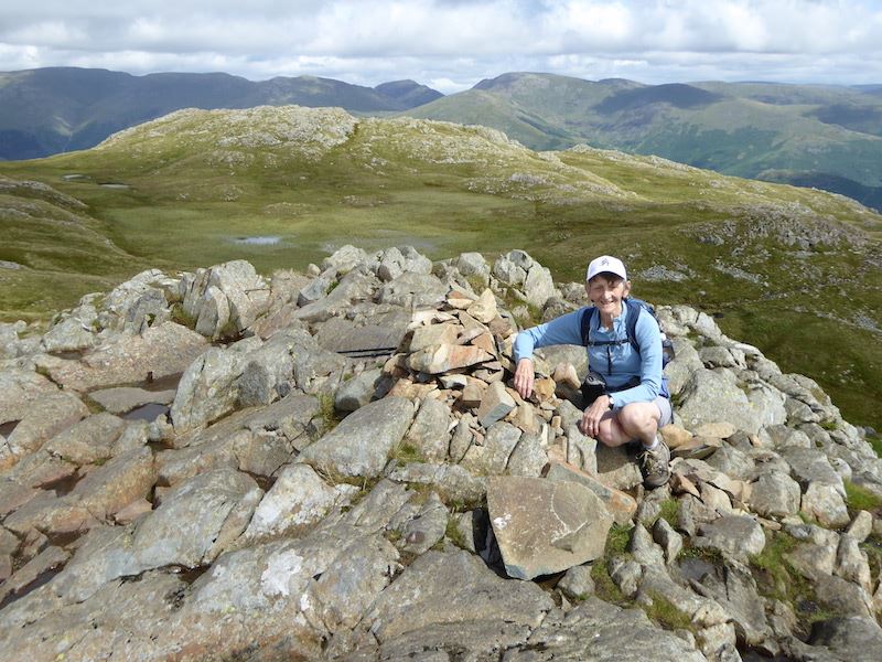
Sergeant Man summit and the soggy, boggy area behind it. At last a spell of sunshine and some good clear views of the Eastern fells on the horizon. When we reached the summit there were a couple of young men there already so we had a bit of a chat. They had planned to camp out overnight but as they were setting up camp the torrential rain began, so they hot-footed it down to the Dungeon Ghyll hotel. A hot meal, a few drinks and a good night’s sleep had brightened their spirits and they were spending the day just exploring up here. They had to be back at work the next day and their plan was that one would drive the other to Doncaster to catch his train to London, and the car driver would then continue on his journey over to Norfolk. Neither seemed in any hurry to be setting off as we kept seeing them when we continued our walk, oh, the freedom of youth eh?
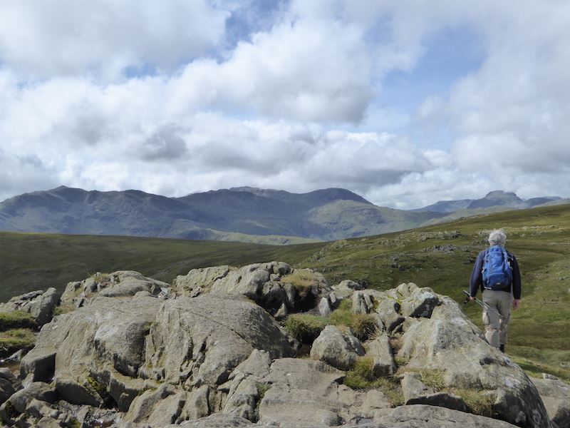
Wishing the two lads a safe journey, we headed off to High Raise from Sergeant Man.
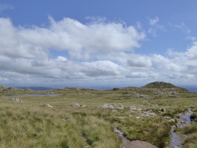
A look back at Sergeant Man and its tarn as we squelch over this boggy ground towards High Raise.
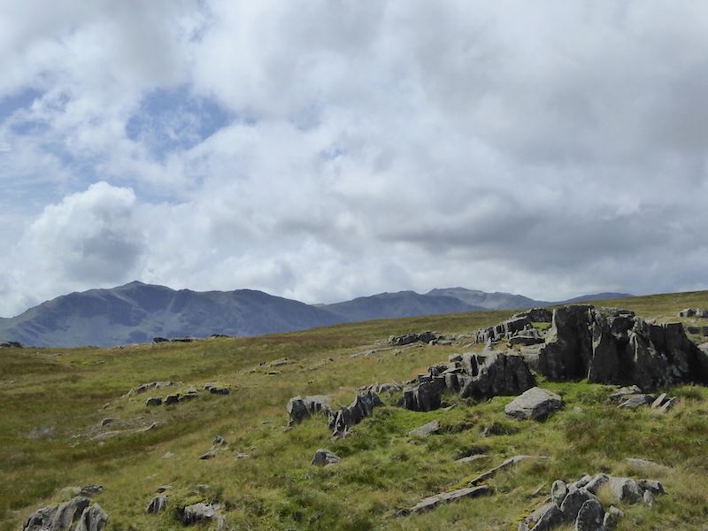
On the left skyline is Bowfell and over on the right skyline, to the left of the rocks, is Scafell Pike.
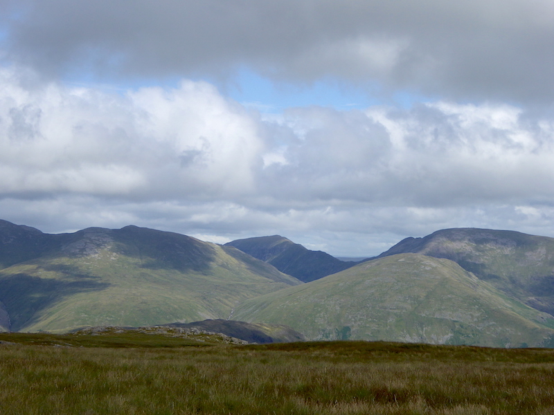
From left to right and looking rather grand are Dollywaggon Pike, Saint Sunday Crag and Fairfield. Seat Sandal is the fell just in front of Fairfield.
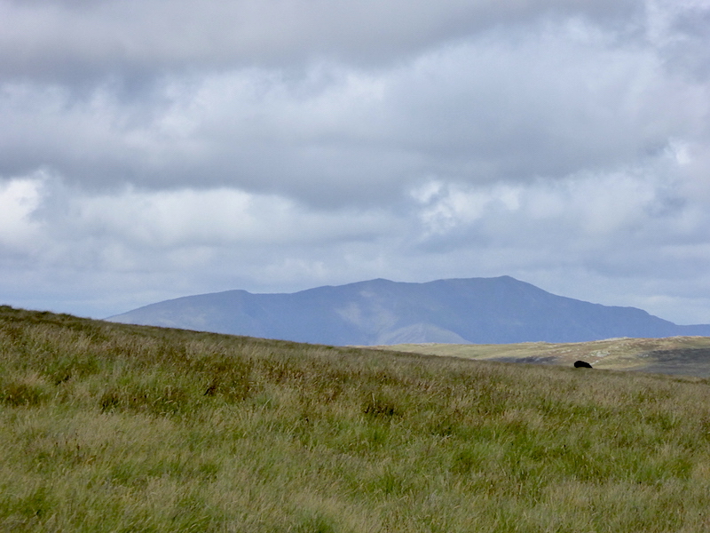
A close up of Blencathra way over in the distance.
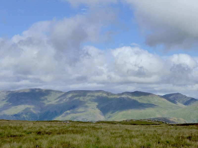
There are some good views of the eastern fells as we tramp along across here. From left to right are Helvellyn, Nethermost Pike, Dollywaggon Pike and Saint Sunday Crag.
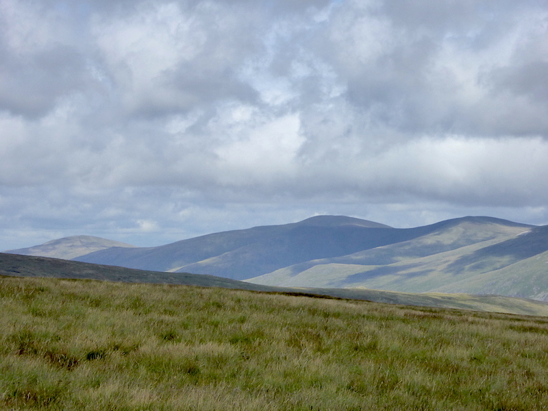
To the left of the fells in the previous photo are these, collectively known as The Dodds.
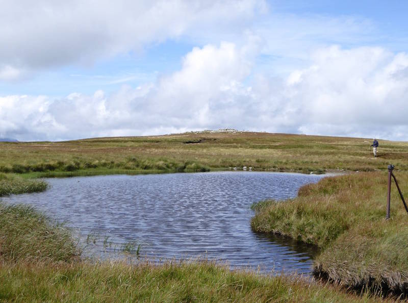
High Raise on the horizon from one of the many tarns across here, a strongish wind rippling the surface. It was more than a bit draughty across here.

Great Gable rearing up like a hump back whale.
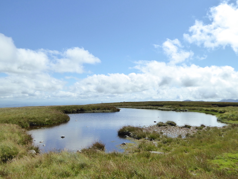
Yet another pool, this place is littered with them. The blue sky was most welcome but it was quite a bit chilly across here.
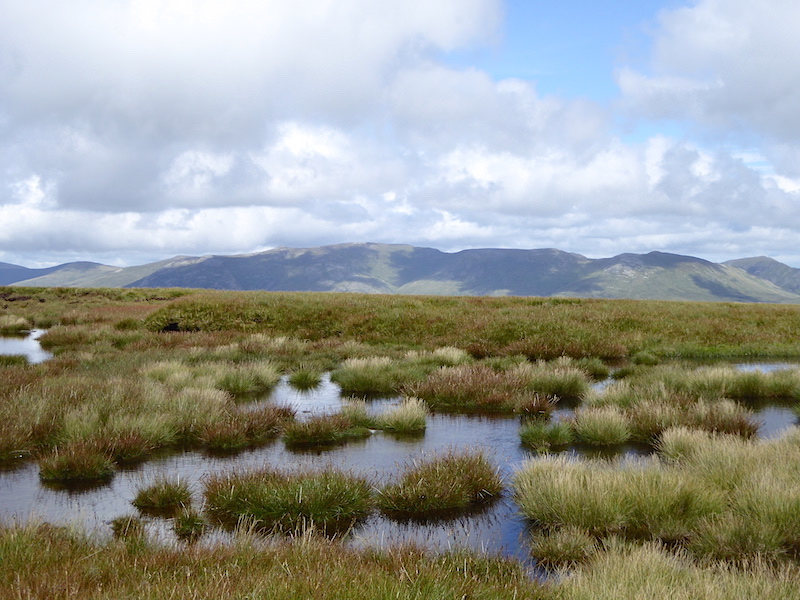
See what I mean about the pools? The Dodds and the Helvellyn range across the boggy pools, it seemed wetter than usual across here, no doubt helped by the heavy rain last night.

From High Raise, Skiddaw and Blencathra with a little bit of Bass Lake over on the left.
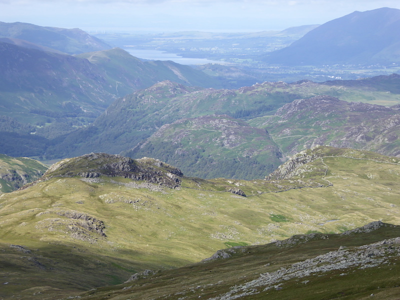
Looking down at Sergeant’s Crag, the rocky bit on the left, from High Raise with Bass Lake in the distance. What a fabulous view.
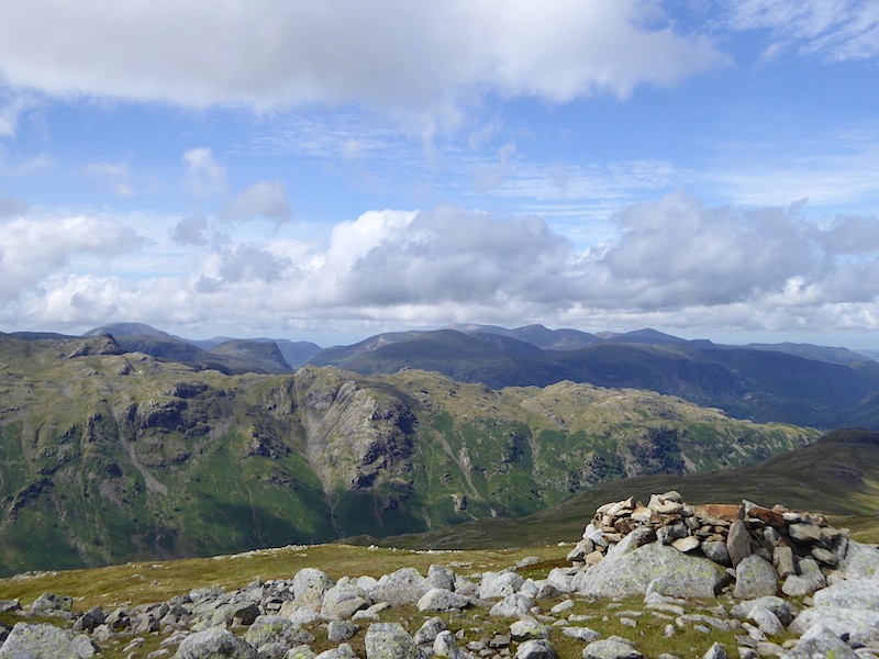
Mind you, the views to our left are just as good. Here we have the green covered slopes of the Glaramara ridge and all the fells beyond from High Raise summit.
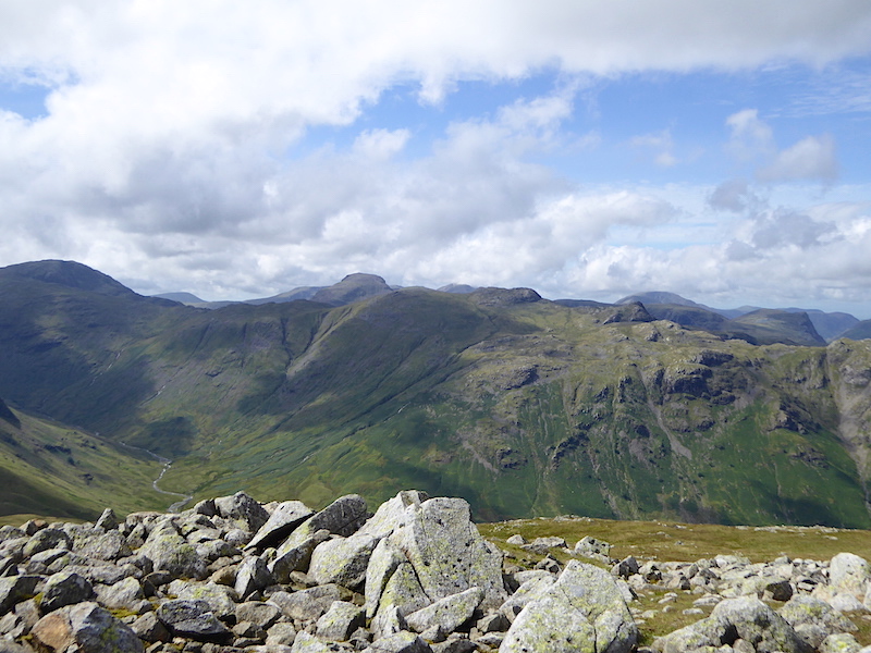
Still on High Raise and now looking across the Glaramara ridge at the fells to the west. Bottom left is the lovely valley of Langstrath.
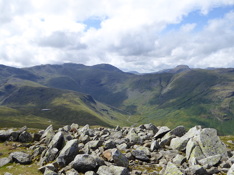
Looking into the head of Langstrath.
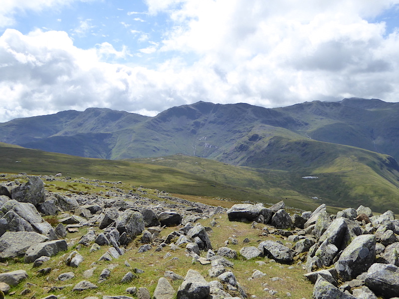
Bowfell taking centre stage with Crinkle Crags on the left and Esk Pike on the right. The Scafells on the extreme right behind Esk Pike.
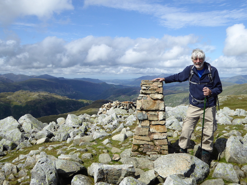
Back in the sunshine at High Raise trig column.
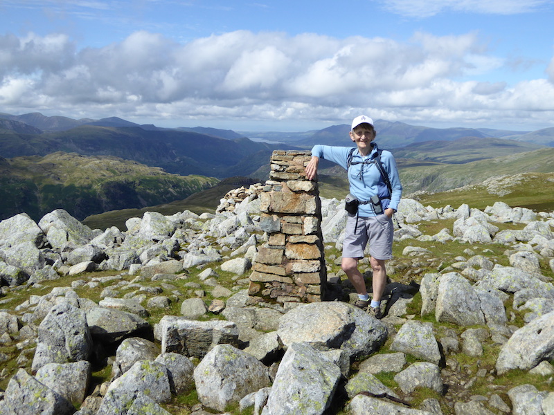
The wind dropped for a moment or two so no need to hold on to the hat. We had another chat here, this time with two men. They were climbers not walkers but had decided that things were a bit too wet to climb safely today so they had stowed their climbing gear in the car and opted for a walk instead.
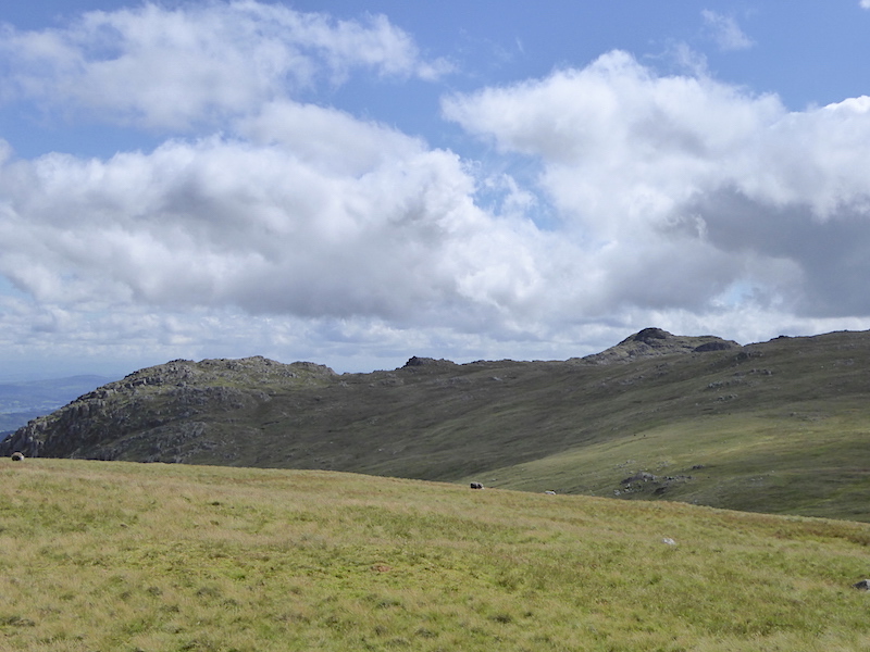
We’re now on the return leg from High Raise and not looking as fearsome as they do from Stickle Tarn, Pavey Ark on the left and Harrison Stickle on the right, showing their gentler sides.
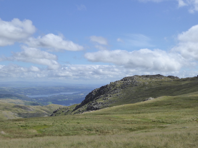
Approaching Pavey Ark with Windermere to the left of it.
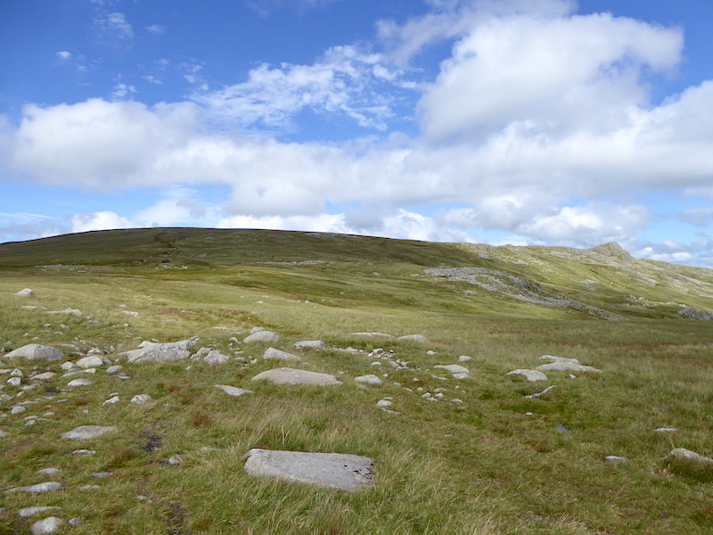
Looking back at Sergeant Man on the right, and on the left in the shade, is High Raise where we’ve just come from. Lovely grassy terrain for the most part and we were able to get into a good stride coming down from there.
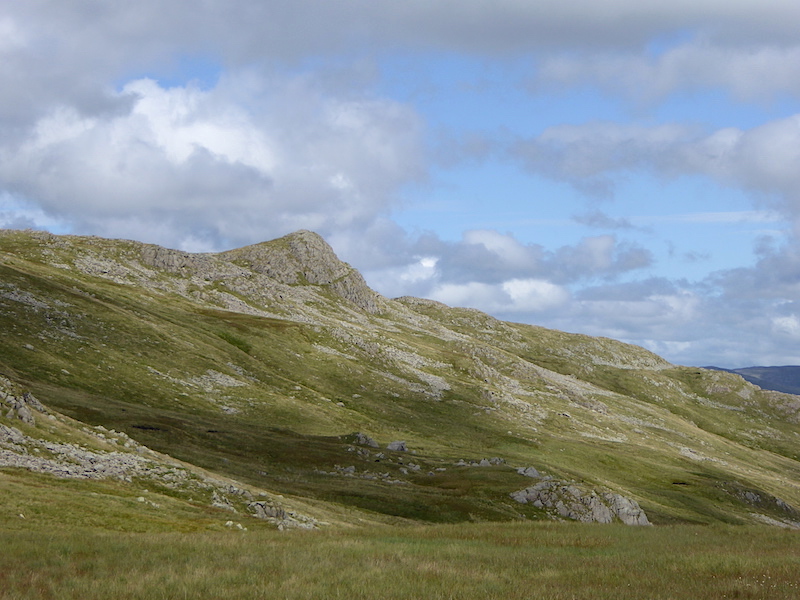
A close up of Sergeant Man.
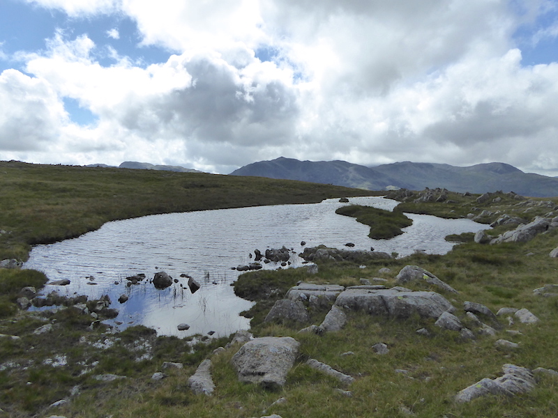
Beyond the tarn is Bowfell again. It turned very dark and very windy at this point.

Still under the cloud on Thunacar Knott, Harrison Stickle over on the right.
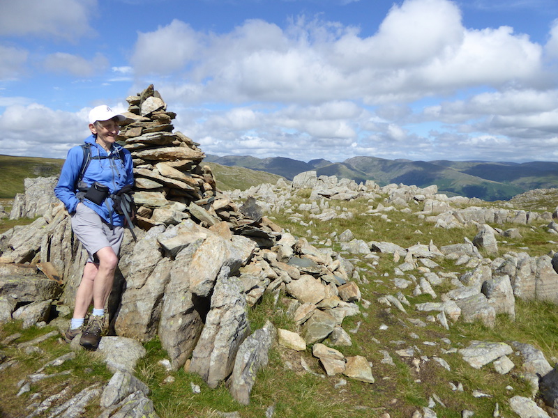
Thunacar Knott summit looking towards the eastern fells. The sun might be out again but that wind is a bit nippy hence the windproof jacket. My lower limbs could have done with a bit of wind proofing too ‘cos it was a bit parky up here, and I’m huddling against the sunny rocks to try and get a bit of warmth from them.
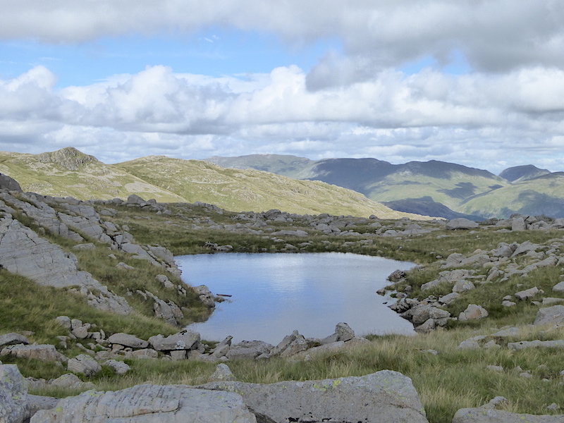
We’re making our way over to Pavey Ark, passing by one of the many pools found in the area.
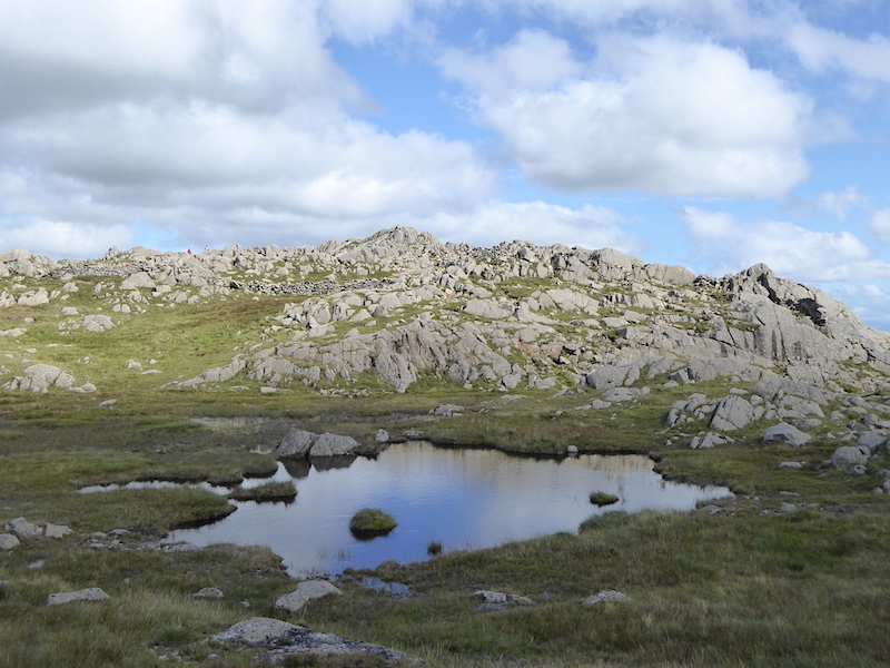
Yet another pool as we near Pavey Ark summit.
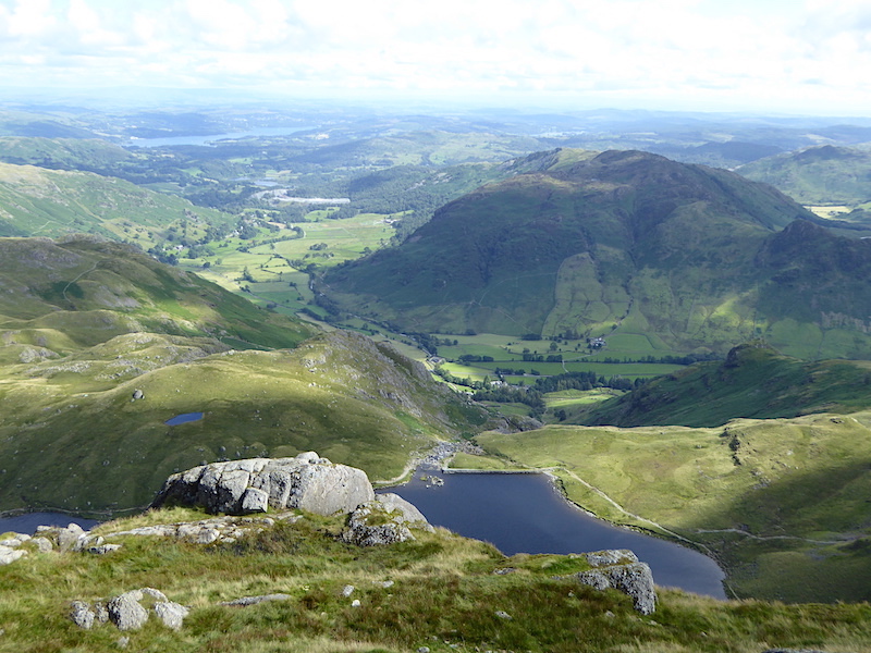
A view down to Stickle Tarn and beyond from Pavey Ark summit.
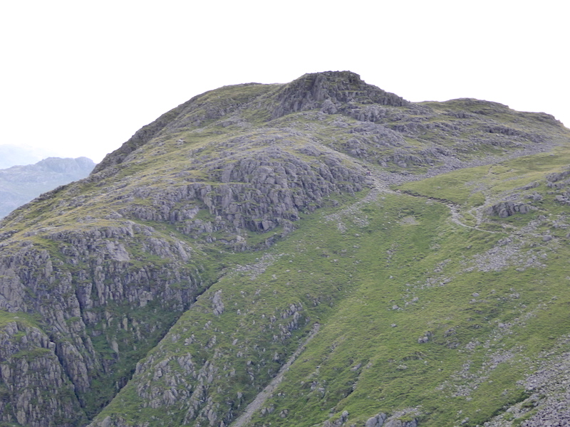
From Pavey Ark a close up of Harrison Stickle and the path we’ll be taking to get to it.
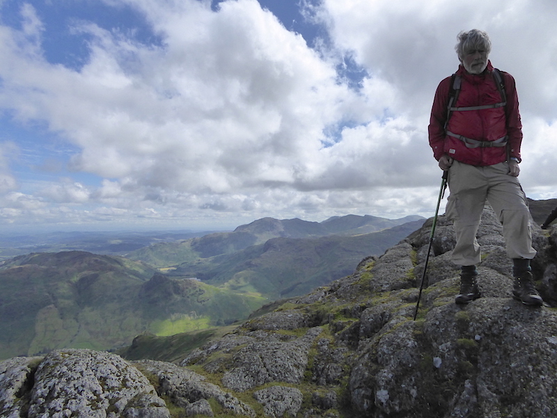
Pavey Ark summit. This was the best I could manage as two other inconsiderate sods were hogging the very topmost bit just to the right of the shot. It makes me really annoyed when people think they have the right to keep the summit all to themselves by spreading their gear and themselves all over it.
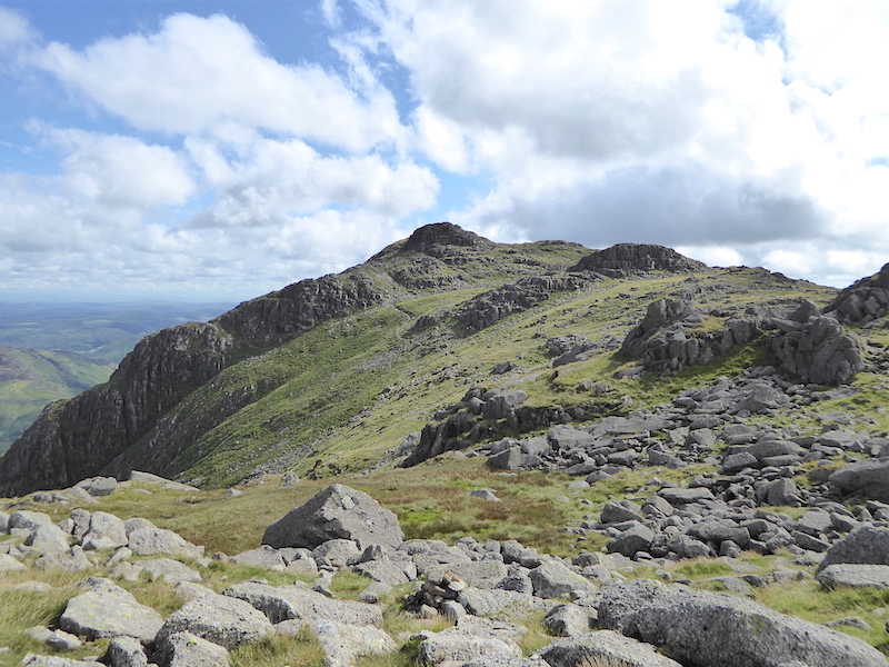
Righto then, now I’ve got that off my chest let’s go over to Harrison Stickle.
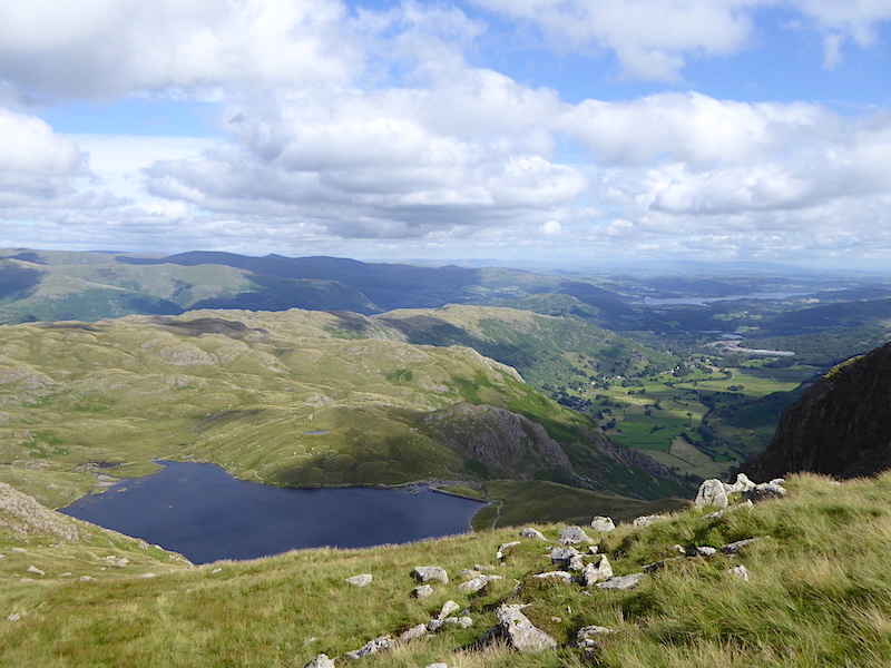
There’s a nice view of Stickle Tarn as we cross to Harrison Stickle.
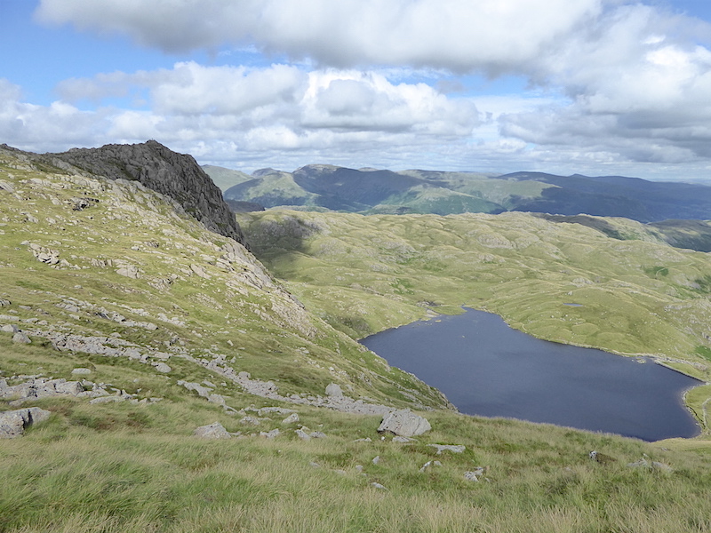
Pavey Ark, on the left, towering above Stickle Tarn.
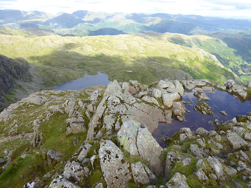
On Harrison Stickle summit looking down to Stickle Tarn and over to the eastern fells.
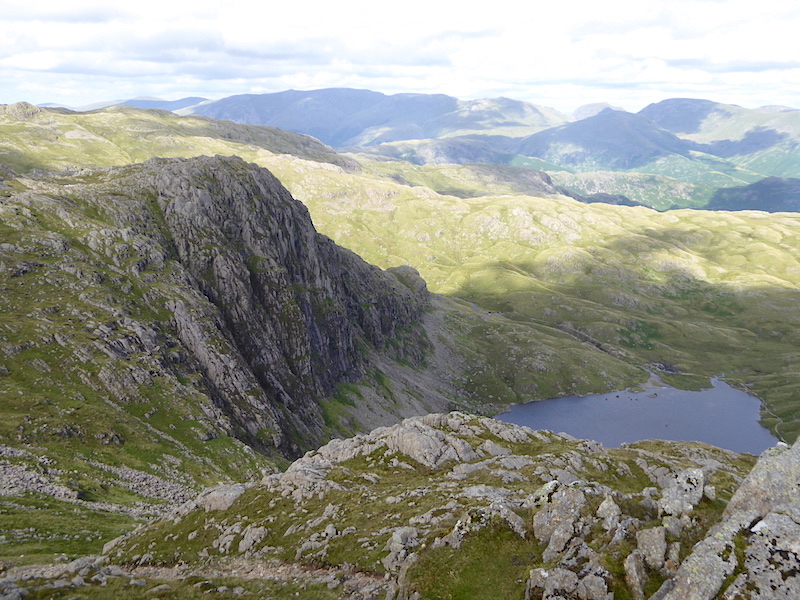
From Harrison Stickle a look back to Pavey Ark.
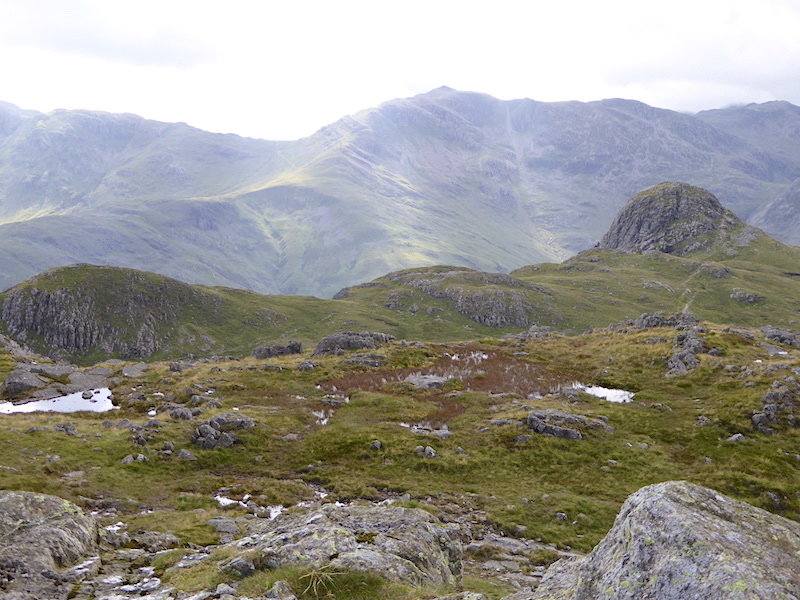
Bowfell on the centre skyline enjoying a spell of sunshine.
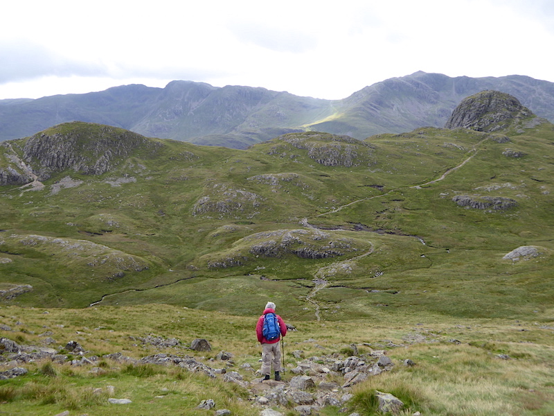
Well, seeing as we’re so near, we might as well go over to Pike O’Stickle and Loft Crag as well.
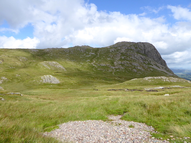
Looking back at Harrison Stickle as we make our way to Pike O’Stickle.
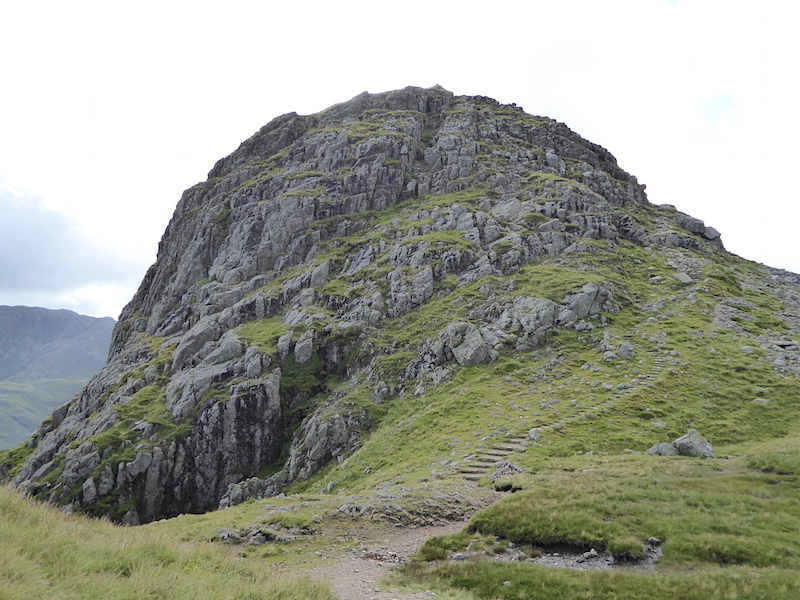
Approaching Pike O’Stickle and its not as fearsome as it looks, well not from this side anyway. Those steps don’t carry on all the way to the top, they end a bit further up the slope leaving just a roughish track.
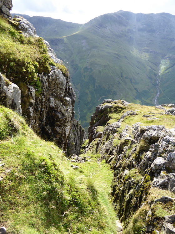
The path ends at this gully, so its a left turn and then its just a very short scramble up to the top.
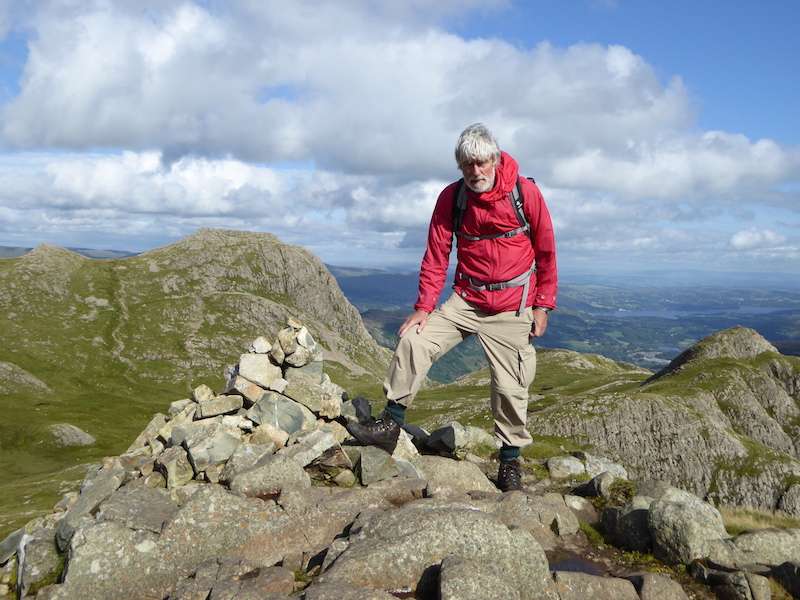
On Pike O’Stickle summit, Harrison Stickle on the left and Loft Crag on the right.
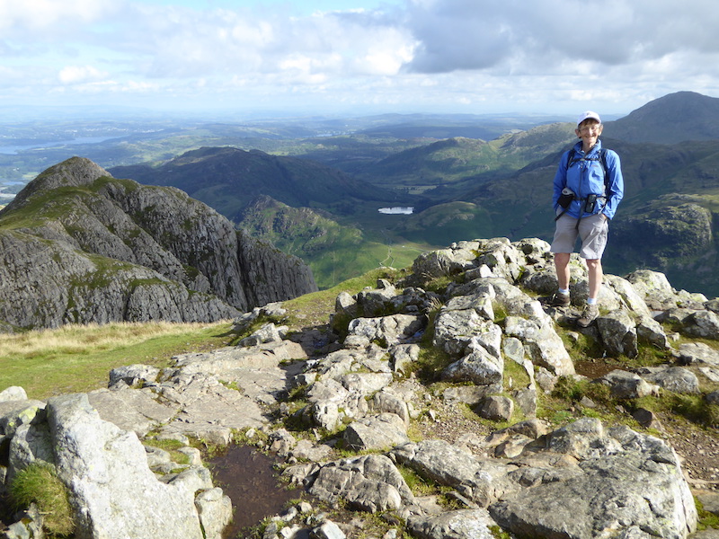
Its not as cramped as you might think on the top of Pike O’Stickle.
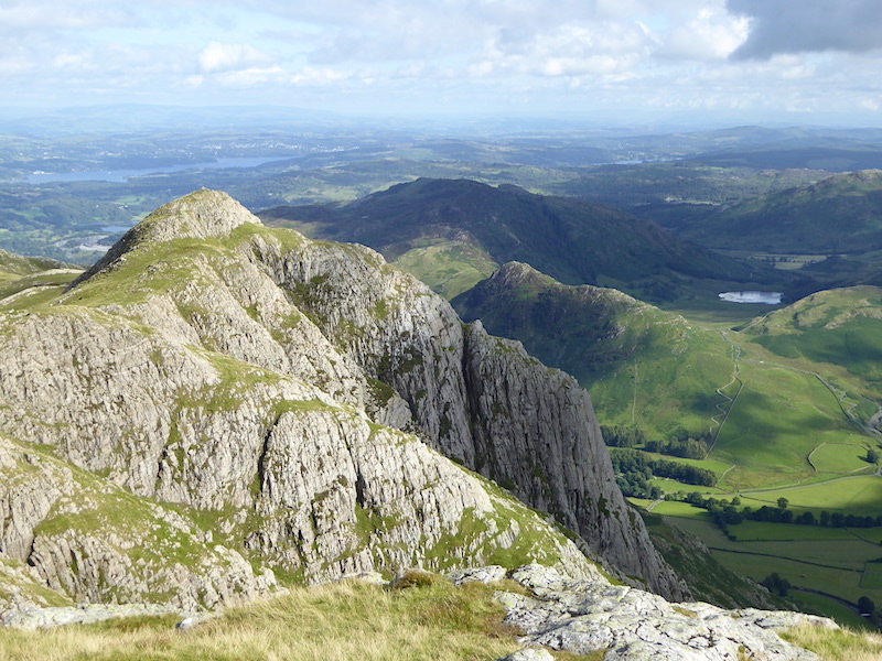
A close up of Loft Crag, the last fell on our walk today.
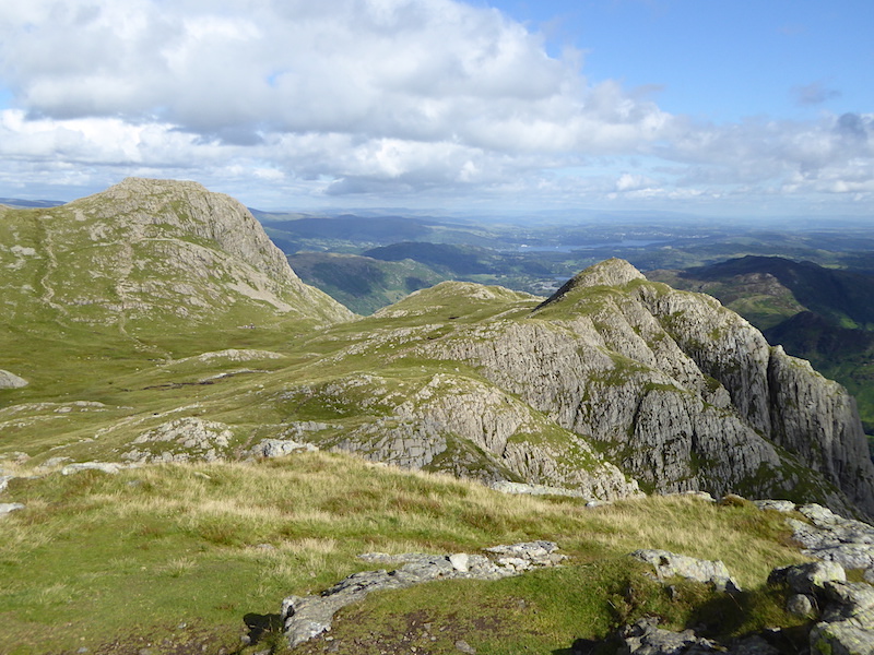
Harrison Stickle and Loft Crag.
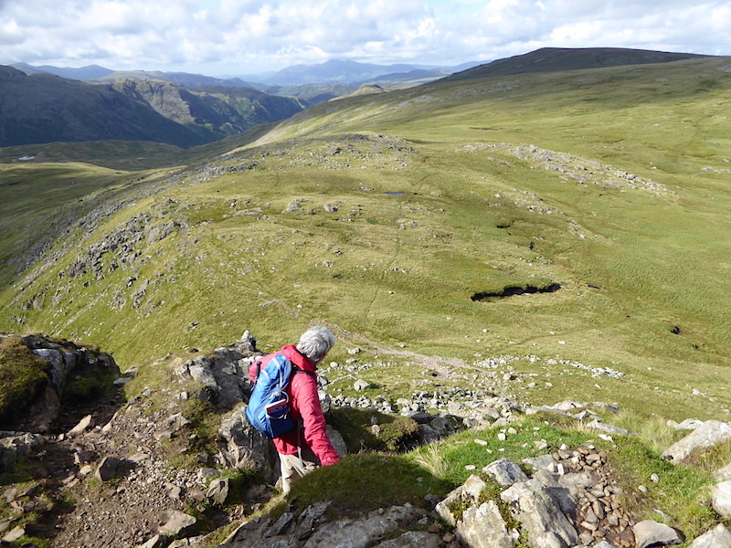
Descending down the groove from Pike O’Stickle and a view of High Raise over Martcrag Moor.
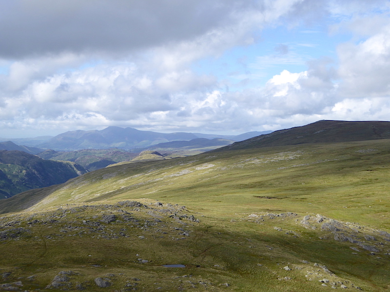
Skiddaw on the left skyline and High Raise under cloud on the right.
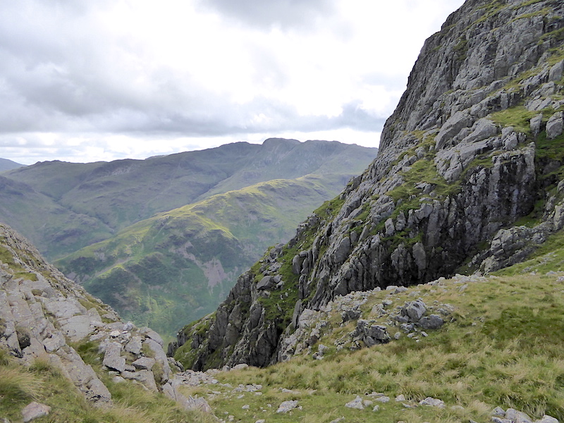
Making our way over to Loft Crag we pass one of the deep gullies beside Pike O’Stickle. Crinkle Crags on the skyline.
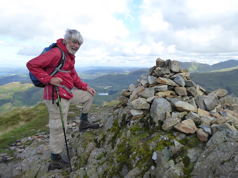
Loft Crag, the last summit of the day.
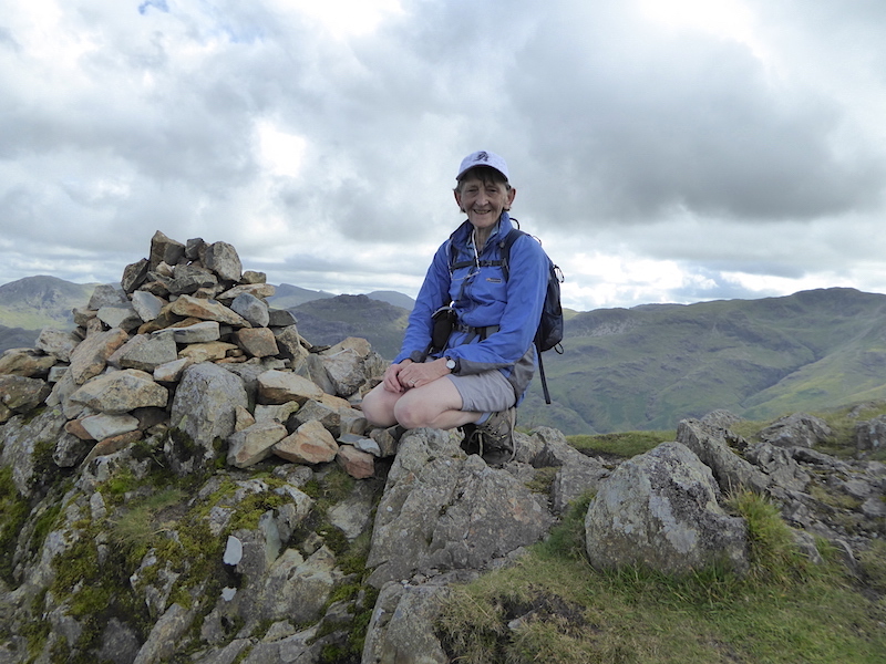
Loft Crag summit, so its downhill all the way from now on then.
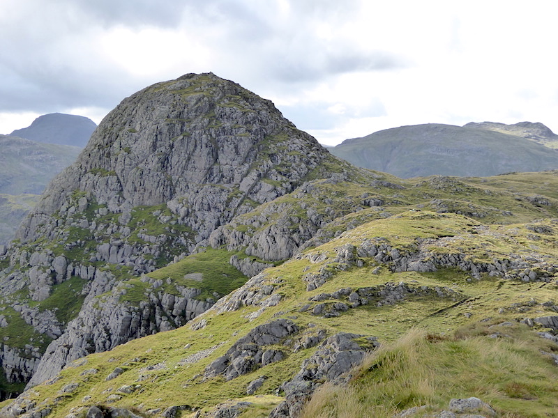
A look back at Pike O’Stickle from Loft Crag.
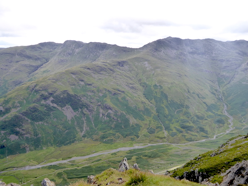
There’s a great view down into Mickleden from here, and up to Crinkle Crags on the left and Bowfell on the right.
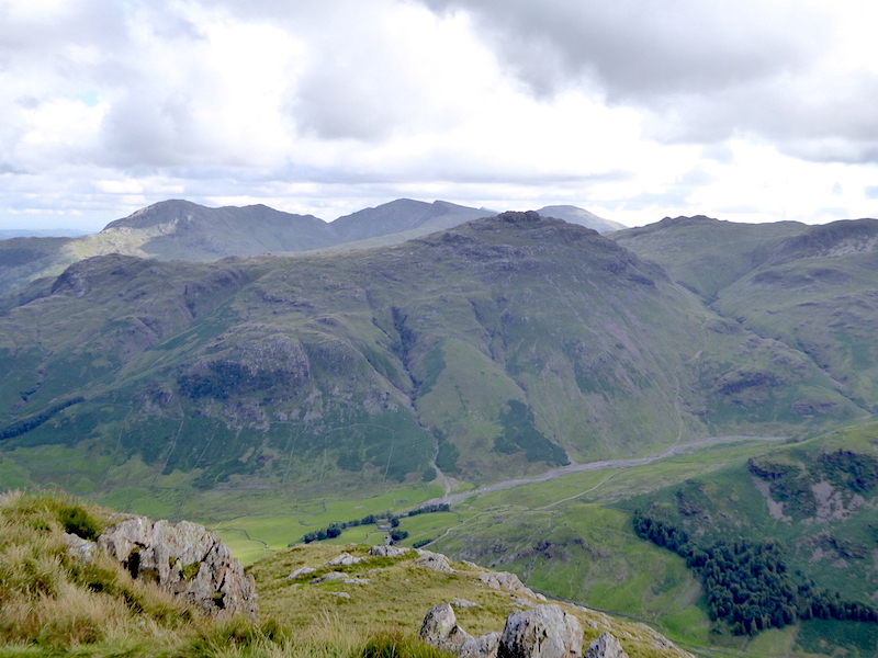
This is the view looking down into the Oxendale valley with Pike O’Blisco in the middle foreground, and the Coniston fells behind it.
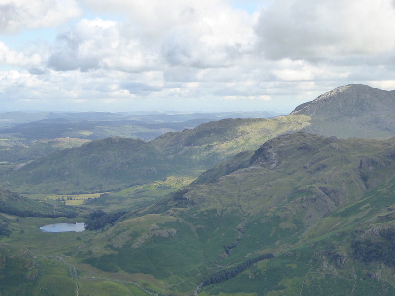
Over on the right is Coniston Old Man.
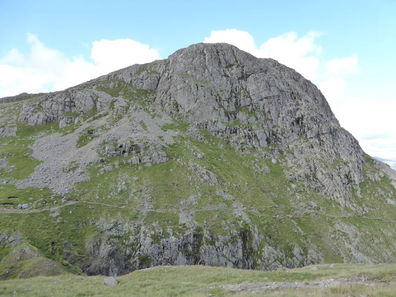
Harrison Stickle from our descent route. The path on the opposite side is not my favourite route down, it runs alongside a very steep drop down into Dungeon Ghyll, and I’m not good at very steep drops. The first time I walked on it I froze, just where it begins to cross over the rocky section in the middle. One minute I was walking OK, the next minute I just couldn’t move. I managed to get across at the second try but it was touch and go for a while. Matters weren’t helped by the fact that a helicopter had arrived, to carry out a rescue for some walkers stuck on Jack’s Rake, and was making quite a din just beyond us.
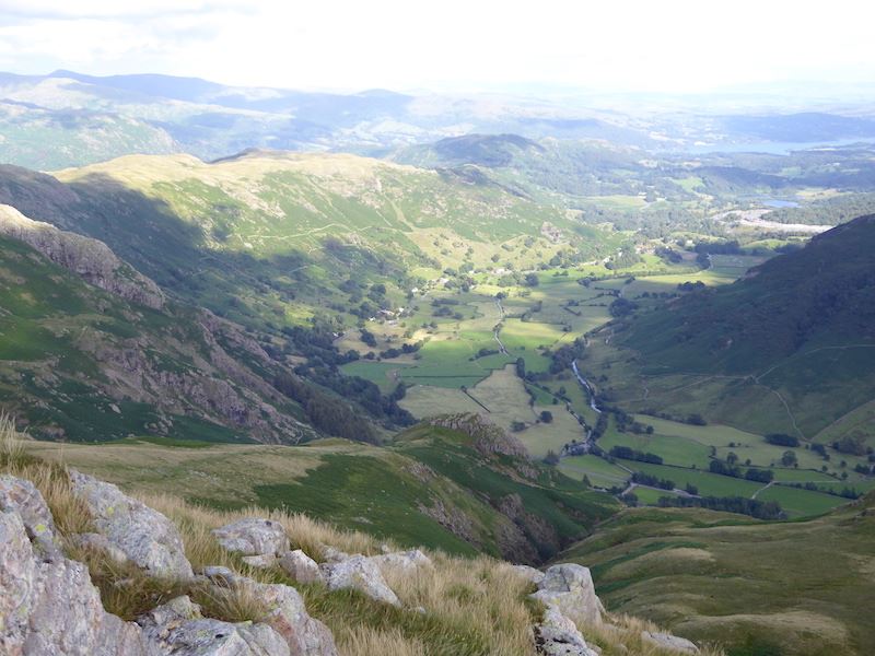
Great Langdale down below us as we start to descend.
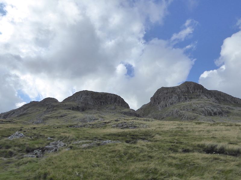
Looking back up at Loft Crag on the left and Harrison Stickle on the right.
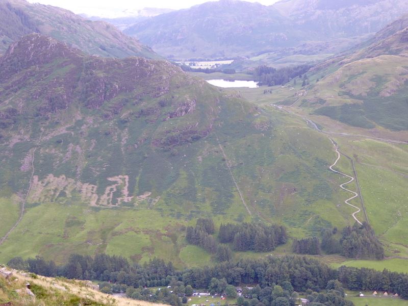
A closer look at a newish zig zag path at the lower end of Side Pike. Its been a while since we came down here so I’ve no idea how long the path has been here.
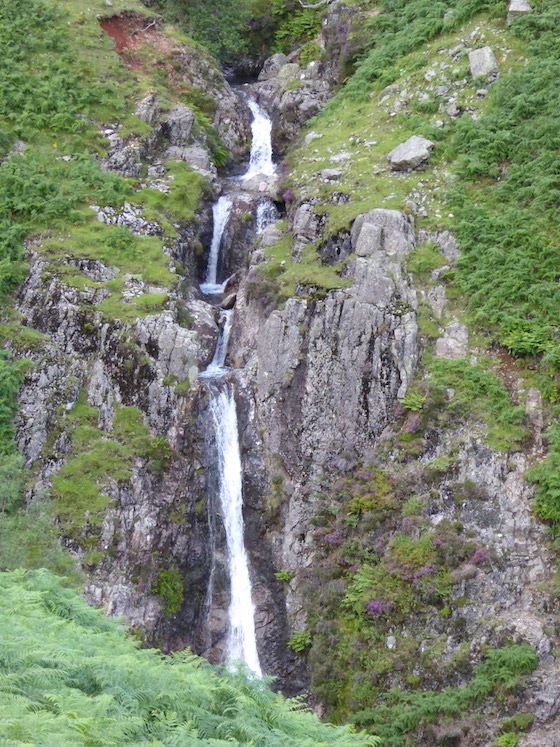
Waterfalls in Dungeon Ghyll.
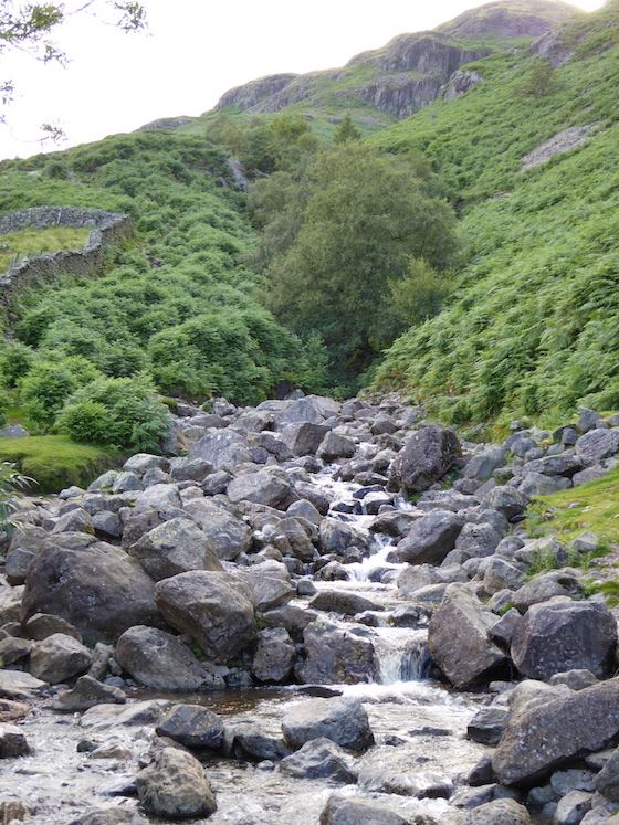
Crossing Dungeon Ghyll at the end of a very disagreeable descent. We’d not been down this route before and it must count as one of the most tiring and trying descents we’ve ever done. Perhaps we were just weary from the long walk we’d just done, but it was a very awkward path to come down, gravelly bits which slid away underfoot, pitched paths with downward sloping stones, many of which were wet and slippery so a lot of care was needed, bits of path which were eroded and muddy, wet grassy bits which were lethal if you weren’t ultra careful and so it went on and on and on. I thought we’d never get to the bottom. I think this section took more toll on our legs than the rest of the walk put together. Note to self – do not use this as a descent route ever again.
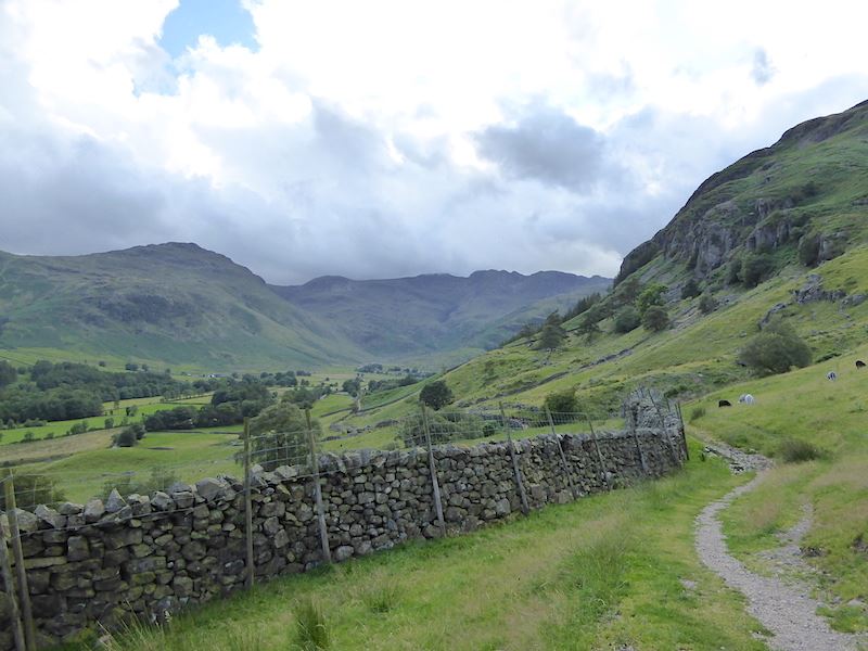
A last look back up Great Langdale before we get back to the car and head for home.
