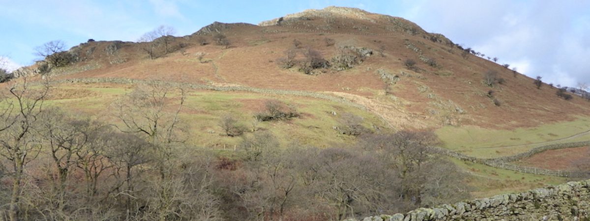
Troutbeck Tongue
Walk Date – 3rd February 2016
Distance – 7.5 miles
Weather – dry, sunny, slight breeze on the summit
Storm Henry finally blew itself out and disappeared, followed by another day of rain and wind, but today was going to be the best day of the week since another bout of bad weather will hit us on Thursday and for the next few days. Seizing the chance we went over to Troutbeck for a walk up the Troutbeck Valley and back over the Tongue. It was forecast to be rather on the windy side at 500m and above so that’s why we opted for this walk, the Tongue isn’t very high and we’d have shelter from any winds as we walked through the valley.
Route
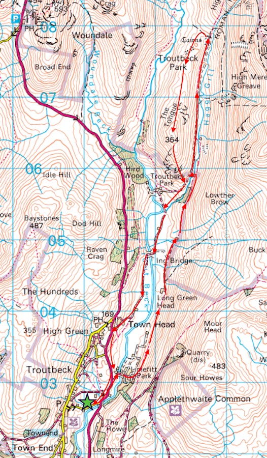
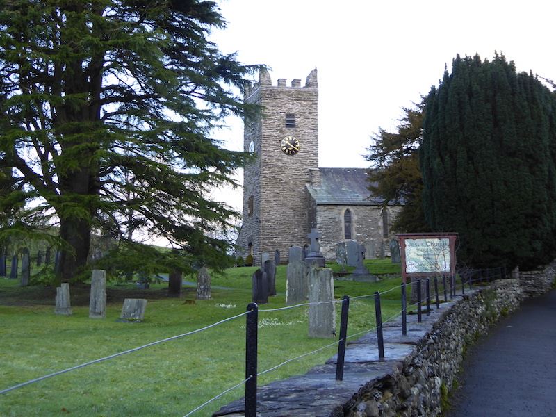
We walked up past the church and cut through the holiday park to pick up the path along the valley.
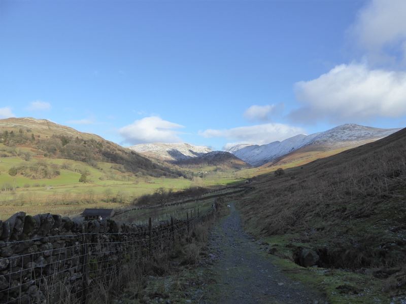
Looking north as we make our way along the Troutbeck Valley path. It was a lovely mild day, blue sky, big white clouds and, best of all, it wasn’t raining. There had been some overnight snow flurries which had settled on the tops but hardly any at all on the ground.
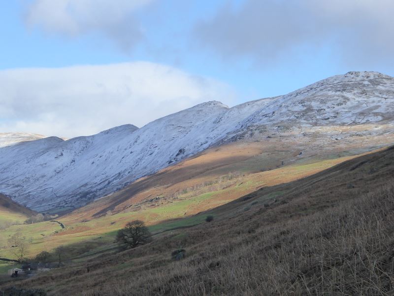
Above us on the right is the western section of the Kentmere Horseshoe. We’re still waiting for the sun to reach us.
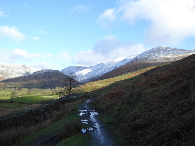
Further along the valley with Troutbeck Tongue to the left of centre. The puddles on the path were typical of the conditions along here today. It was extremely muddy all along the path, flood debris everywhere, water running off the fell sides, huge puddles covering the path for yards and yards. We were constantly side-stepping up the fell side to find a non-slip, quagmire free foothold so it was really difficult to get a move on.
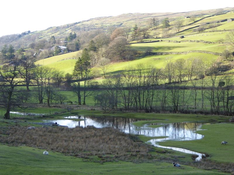
Looking over a sodden field at a sunny Wansfell Pike up on the skyline.
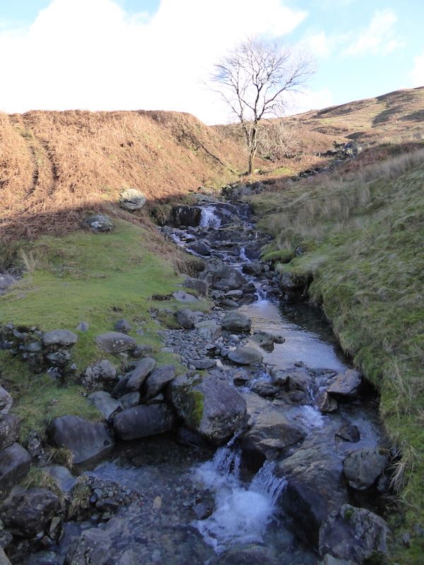
Crossing one of the many becks, some flowing beneath the path, others flowing straight over it.
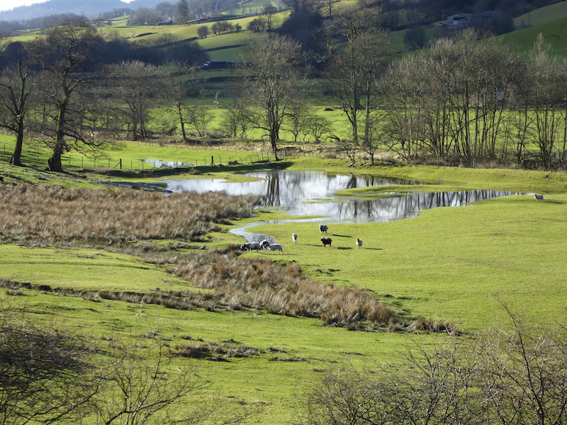
Sheep rushing across as they heard the roar of the farmer’s quad bike which had just passed us on the path. He was courteous enough to slow down so that he didn’t shower us in muddy water. The sheep were hoping for a food delivery but were disappointed.
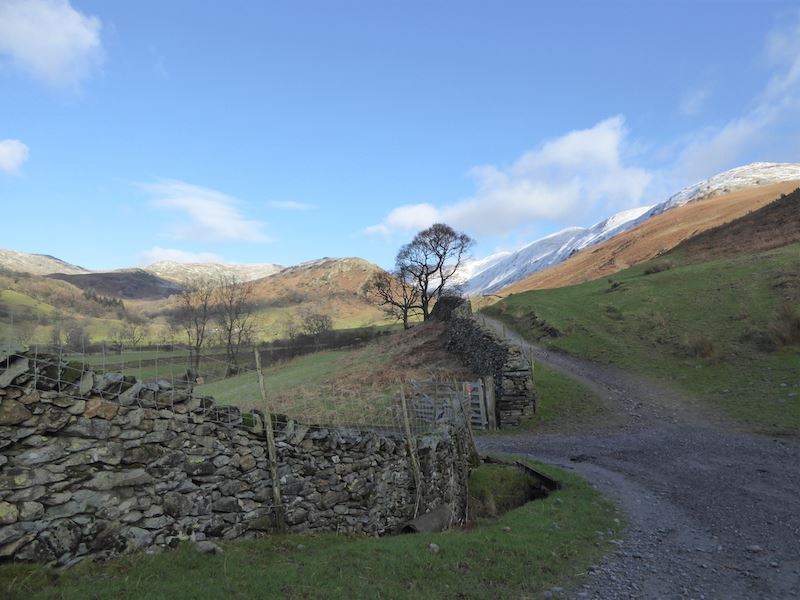
Its straight on for us, following the track round to the left would only take us past Long Head Green Farm and down to Ings Lane.
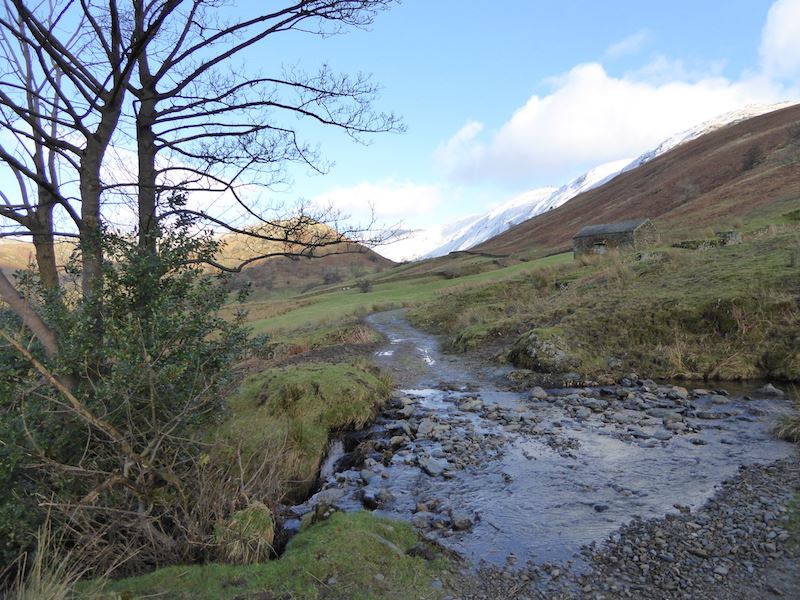
Debris left by the recent floods and water pouring off the fells, there were similar situations all along the path.
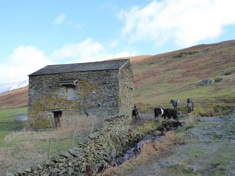
This barn came in handy for the cow leaning against the end wall, it was having a really good scratch. The others were just hanging around right in the middle of the path, over which the water from the beck was flowing. They obligingly moved as we came across, and the only problem they posed was the state of the path. It was churned up beyond recognition by their hooves, and the rest of it I’ll leave to your imagination. Let’s just say I was more than pleased to get beyond it all.
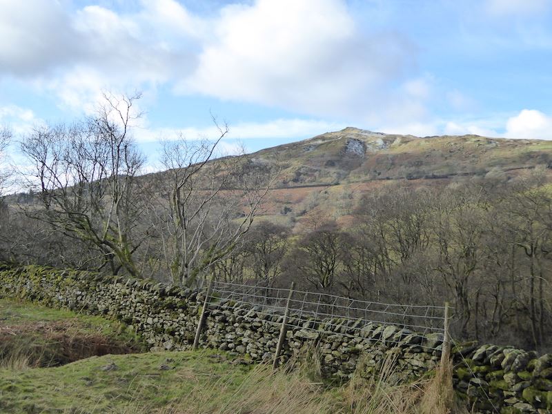
Baystones, the highest point of Wansfell.
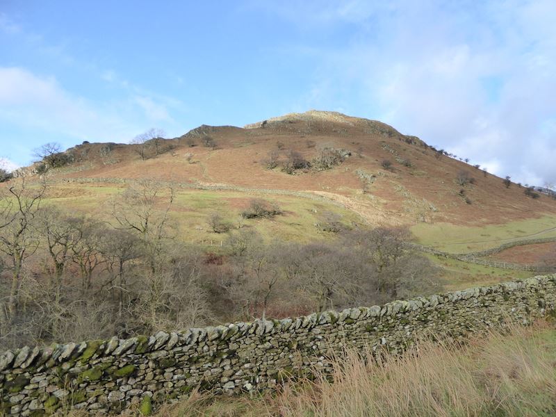
Troutbeck Tongue. We’re not going up the front today, instead we’ll cross the beck and pick up the path on the other side. Its just visible, to the right, above the wall on the fellside opposite.
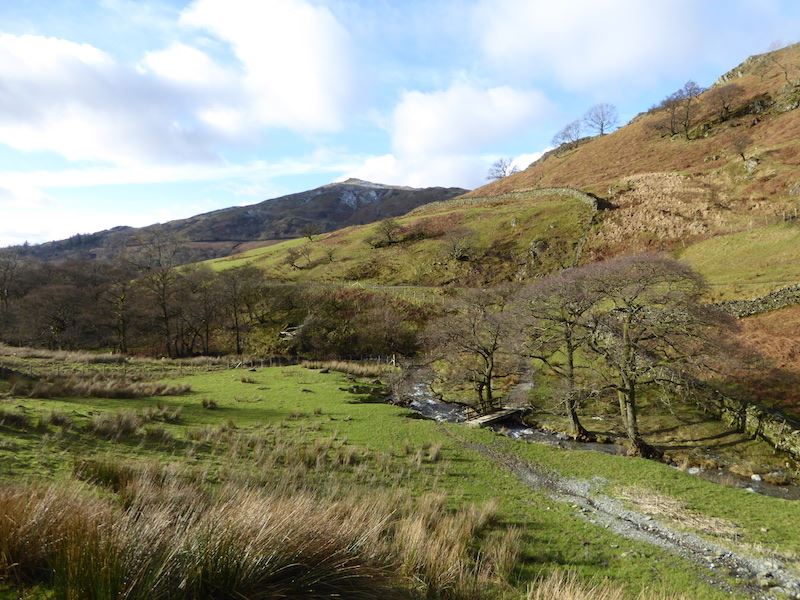
Making our way down to the bridge over Hagg Gill.
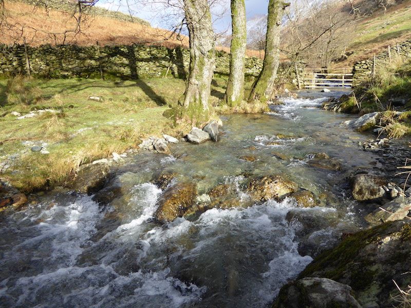
Crossing Hagg Gill.
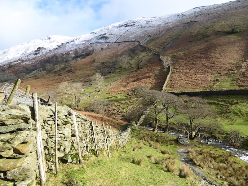
A look back at the Hagg Gill crossing.
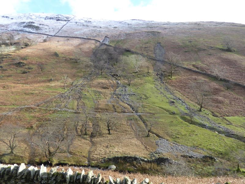
Landslips on the slopes of Yoke, more evidence of recent storm damage.
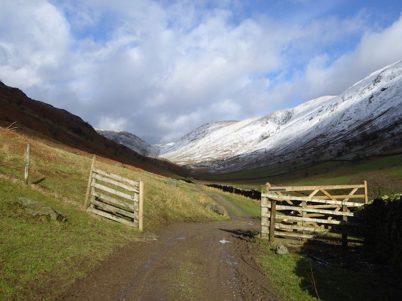
Overnight snowfalls have left a covering on the higher fells and transformed the views.
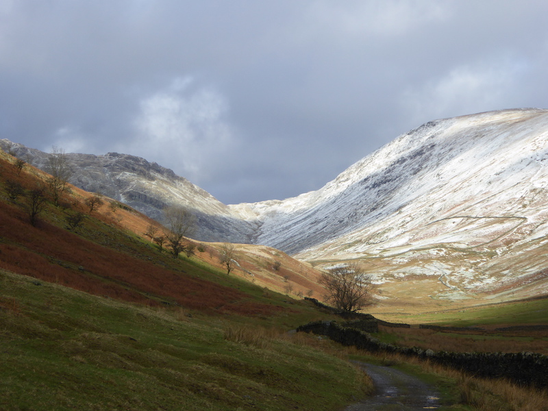
A close up of Threshthwaite Mouth, the U-shaped gap on the skyline.
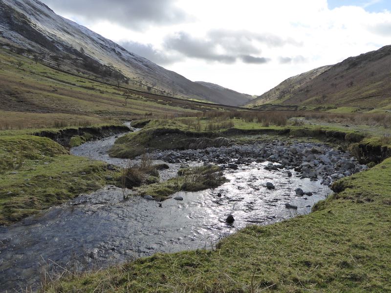
A look back down the Troutbeck Valley, straight into the sun so its not the best of shots. However, it was a nice place to sit and have a break, listen to the water rushing down, and generally enjoy the peace and quiet.
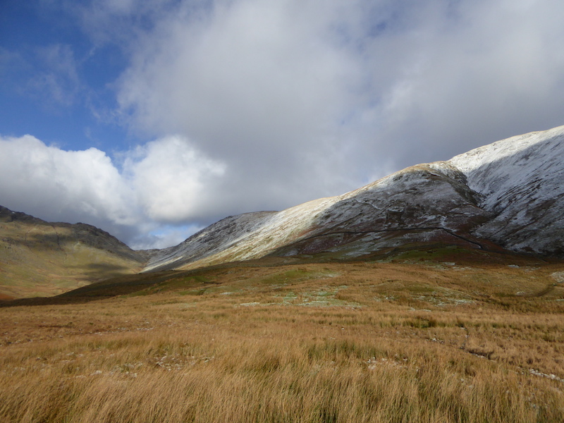
After our break we leave the main path and cross over to the northern end of Troutbeck Tongue. I took a look back at the huge clouds billowing over Thornthwaite Crag and Froswick.
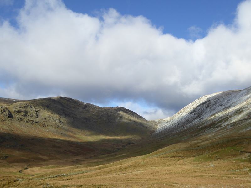
More clouds came rolling in over Stony Cove Pike over on the left. Watching the cloud shadows changing the patterns on the landscape is always fascinating.
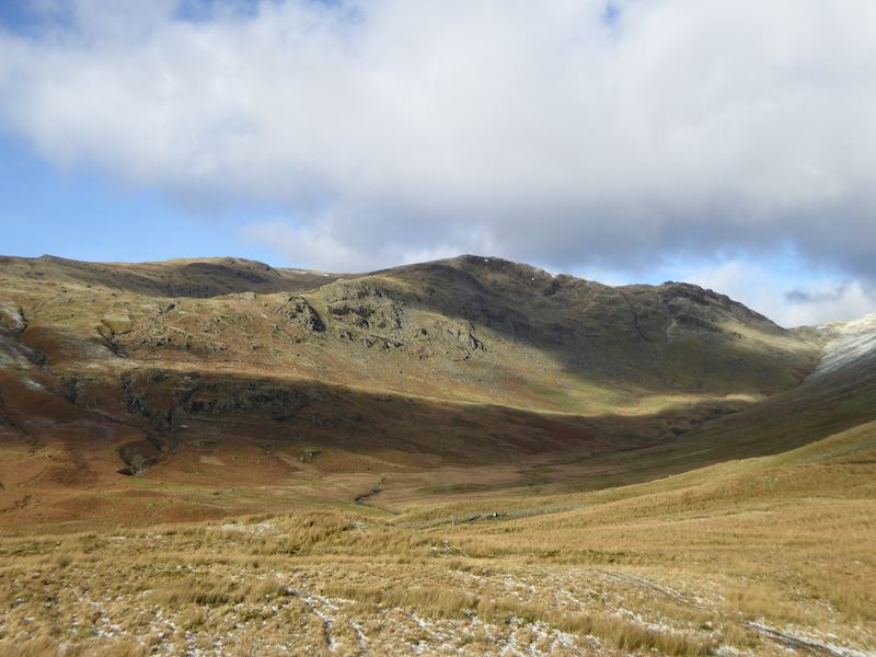
Red Screes, over on the left of the skyline, behind Stony Cove Pike.
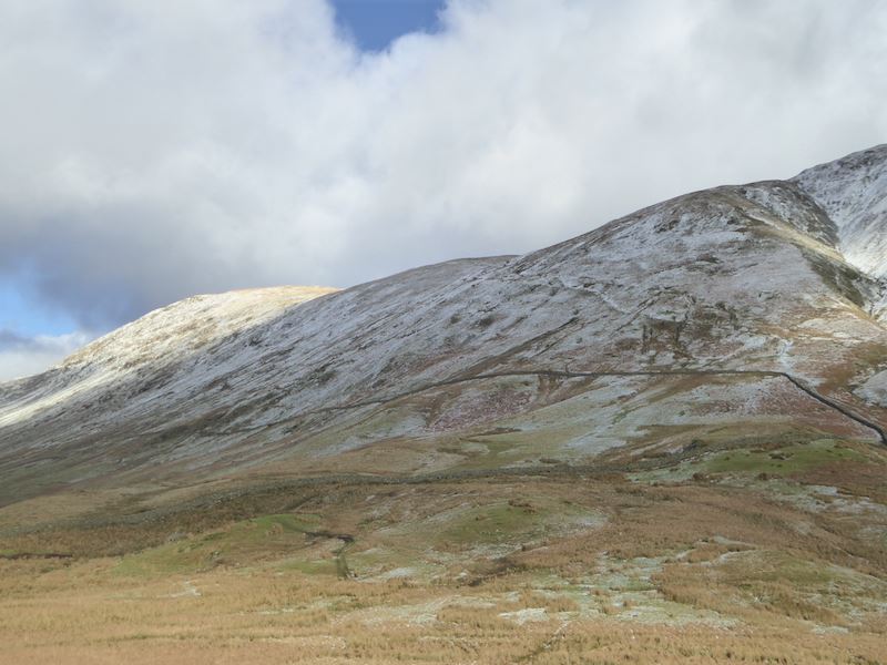
Starting from the wall corner, over on the right and highlighted by the snow, is the Scot Rake route up to Froswick. We’ve walked down it and its a good route, we must walk up it one of these days.
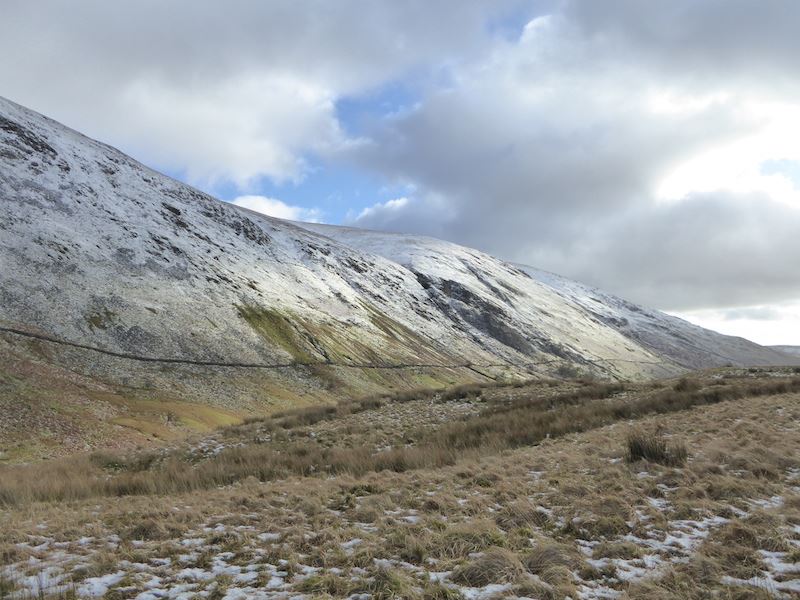
Looking over towards Yoke as we begin walking up the northern end of Troutbeck Tongue.
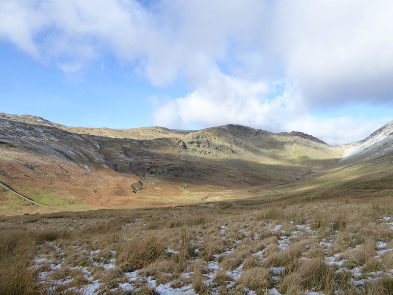
A look back towards Red Screes and Stony Cove Pike. Only a sprinkling of snow on the Tongue.
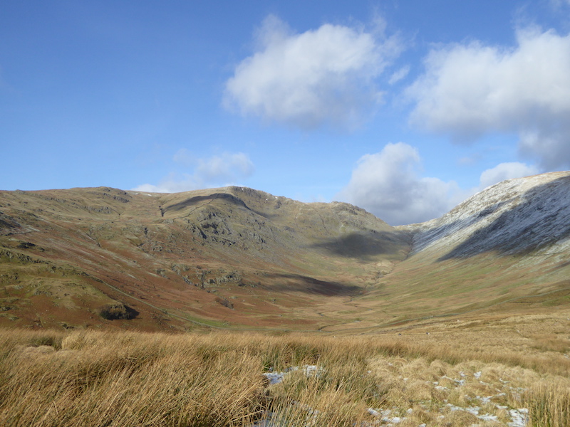
Looking back from the climb up Troutbeck Tongue.
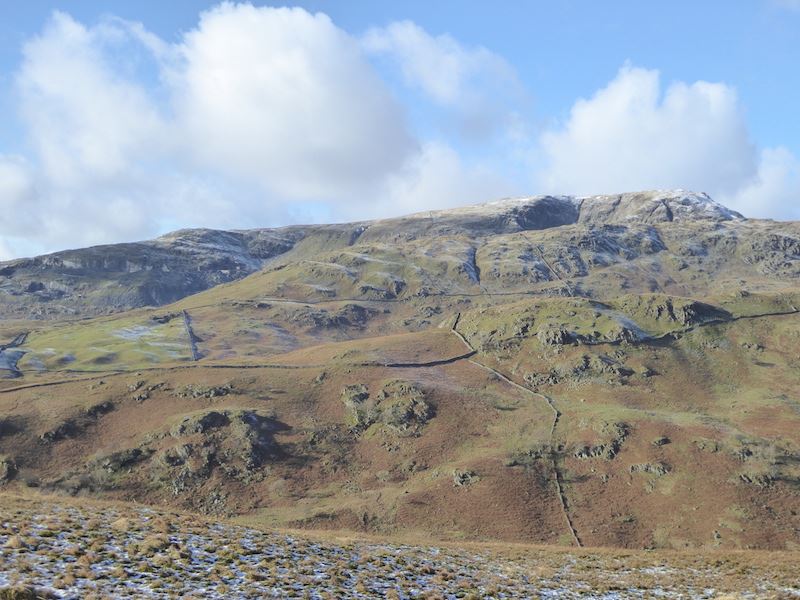
A closer look at Red Screes on the skyline.
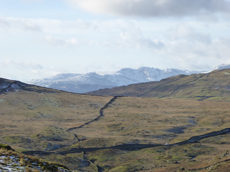
A close up beyond the lower slopes of Red Screes for a glimpse of the distant fells to the south west of us.
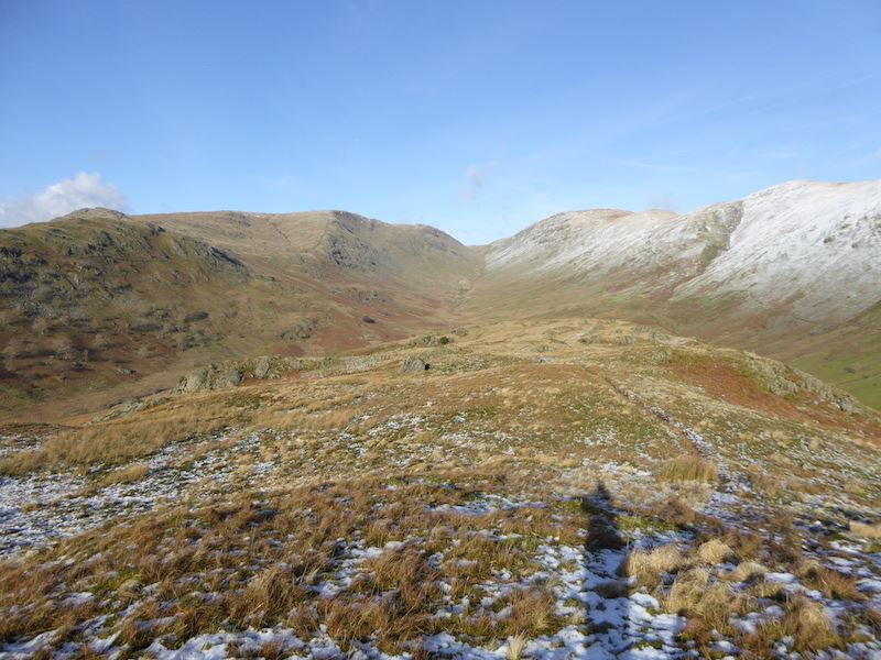
A look back as we reach the flatter area at the top of Troutbeck Tongue. As you can see, the sun is immediately behind me so photos in that direction were difficult.
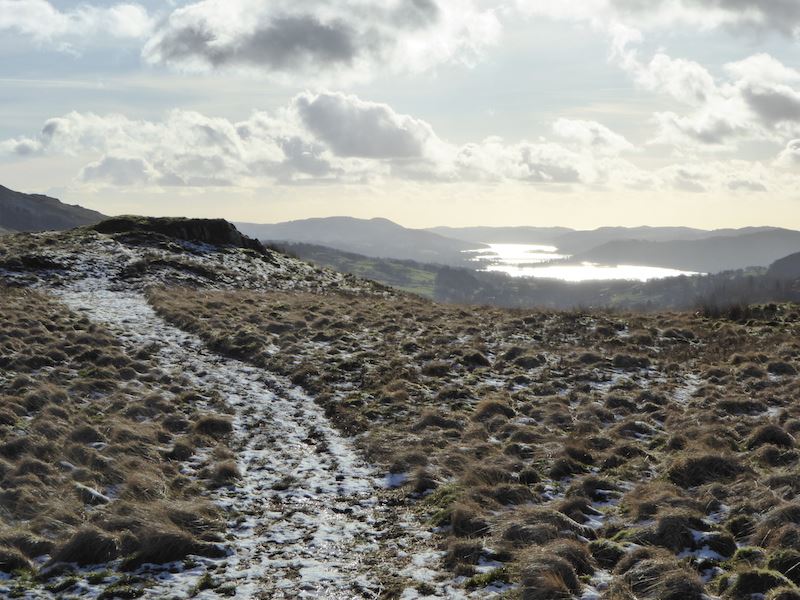
Having said that I risked this shot, of Windermere shimmering in the sunlight, and just hoped for the best.
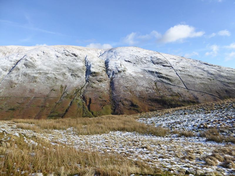
A look over at Yoke as we continue across the Tongue.
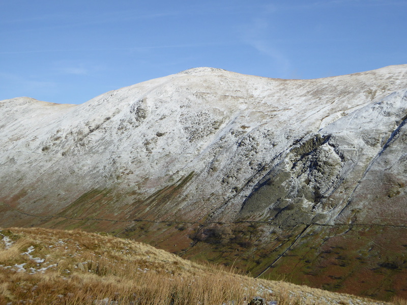
To the left of Yoke, the next fell along is Ill Bell.
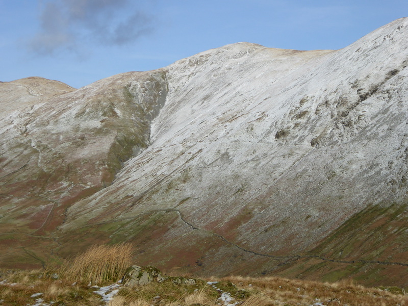
From Ill Bell the next fell to the north is Froswick, and on the extreme left is the path leading on to Thornthwaite Crag.
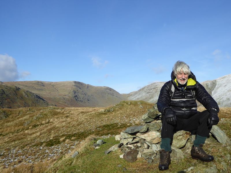
The view to the north from Troutbeck Tongue summit.
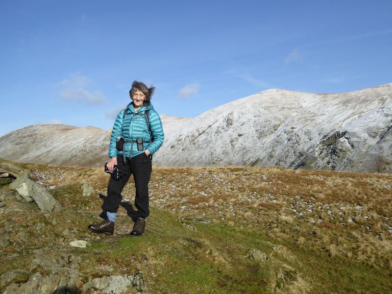
It was just a little breezy on the summit but not at all cold. By the way, that shine on my boots is testament to all the wetness we have walked through today.
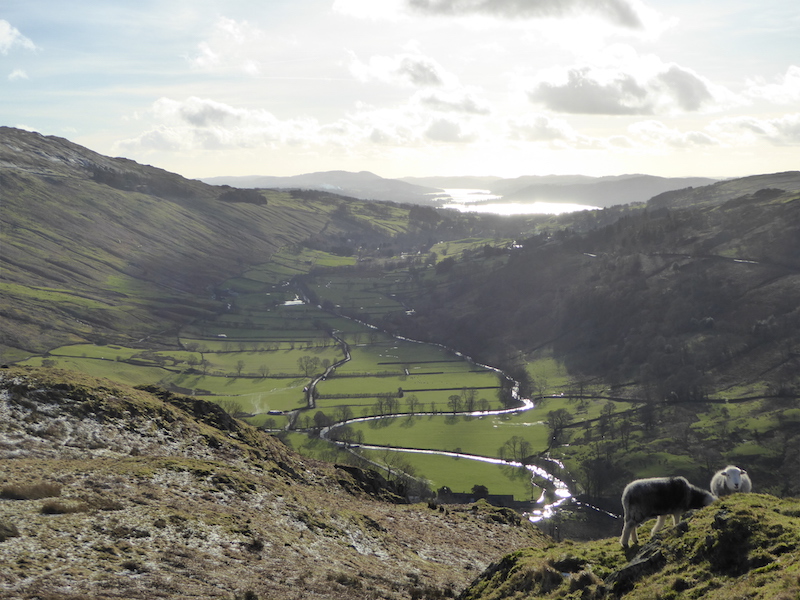
Looking along the Troutbeck Valley towards Windermere.
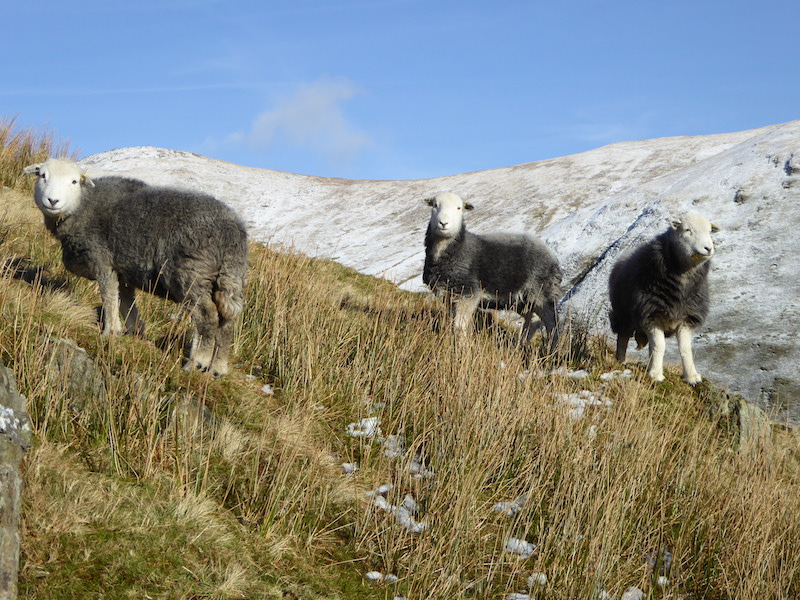
Three Herdies wondering what on earth I’m up to. The Herdwicks are a hardy breed and can tough it out on the fells through the winter. They also have very cute faces and they stare very intently at you. They didn’t have much company today, there was only us and five other walkers up here all day.
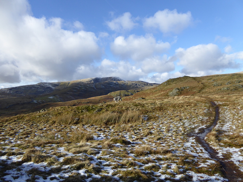
A look back at the summit of Troutbeck Tongue and our route from it.
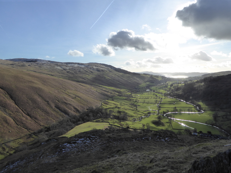
Trout Beck winding its way like a silver ribbon through the valley. The way down was extremely wet, muddy and slippery and both of us experienced an undignified slither, followed by an unwanted sit down on wet ground, on the way down. The only damage was the discomfort of soaking wet seats of trousers. I wouldn’t have minded so much but when I had my unplanned sit down I was only a couple of yards from the level path at the bottom, so I very nearly got away unscathed.
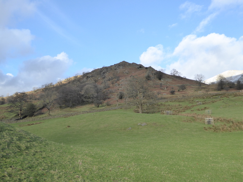
Looking back at Troutbeck Tongue as we make our way towards Ings Lane.
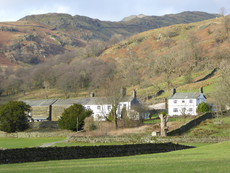
Troutbeck Park Farm, bought by Beatrix Potter in 1923 for £8000. When she died in 1943, Beatrix Potter left fourteen farms and 4000 acres of land to the National Trust, together with her flocks of Herdwick sheep.
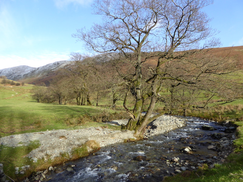
Crossing Hagg Bridge, lots of storm debris lying around on the banks.
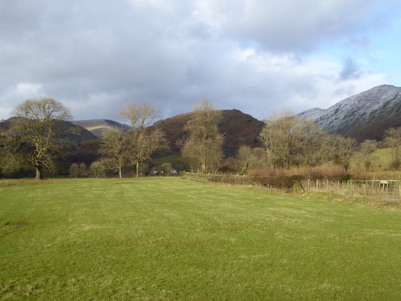
Troutbeck Park Farm nestling below Troutbeck Tongue.
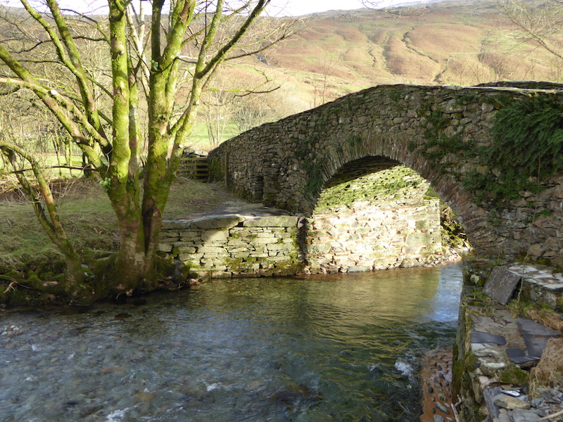
Ing Bridge, now repaired and the yellow bags of ballast, which were providing some stability, have been removed. (See 15th Aug 2015 walk to compare the two photos)
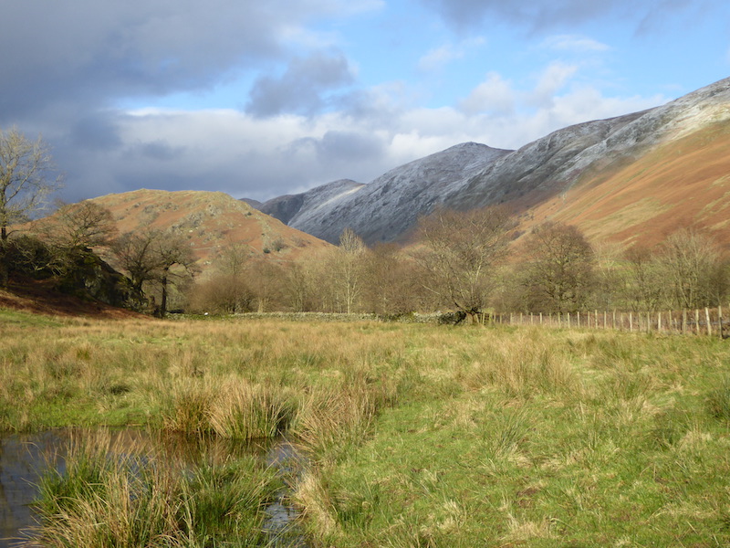
Sunshine and shadows in the Troutbeck Valley.
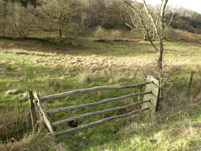
How gates used to look before someone had the idea of using hinges.
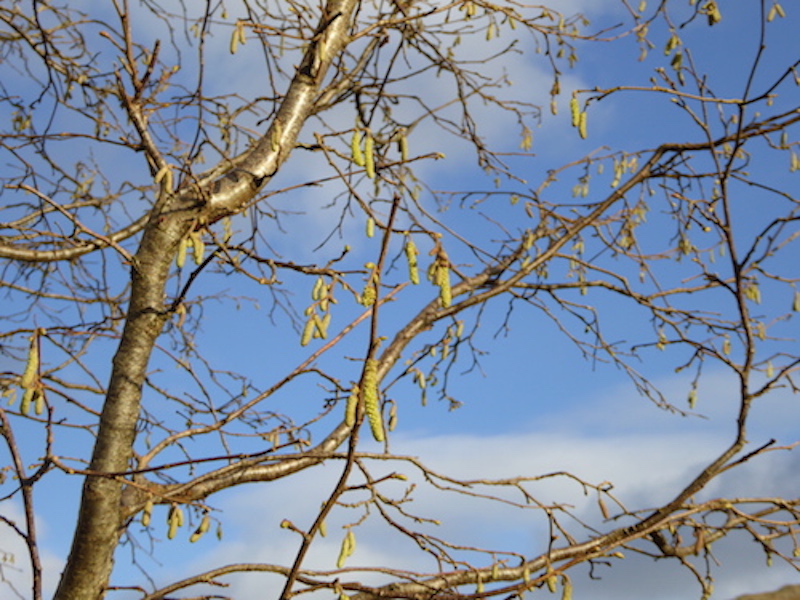
Spring can’t be far away if the catkins are out.
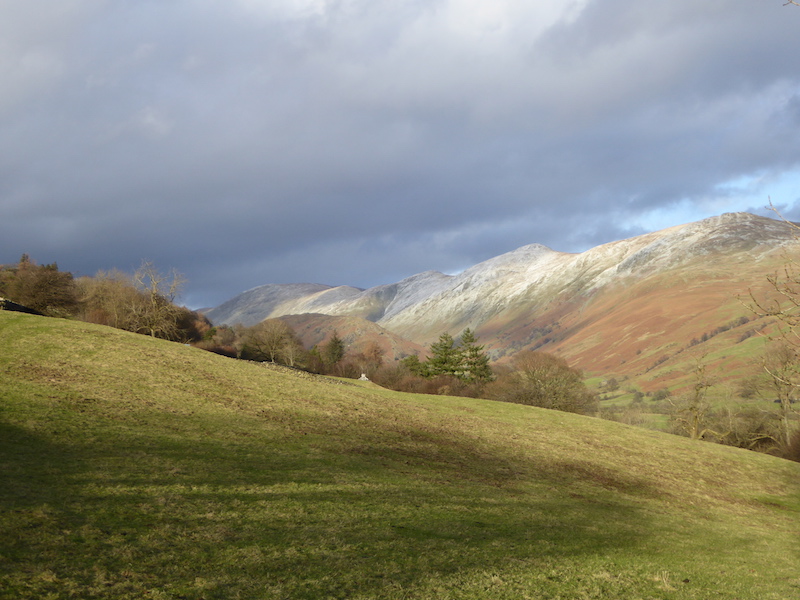
A look back to view, from right to left, Yoke, Ill Bell, Froswick and Thornthwaite Crag.
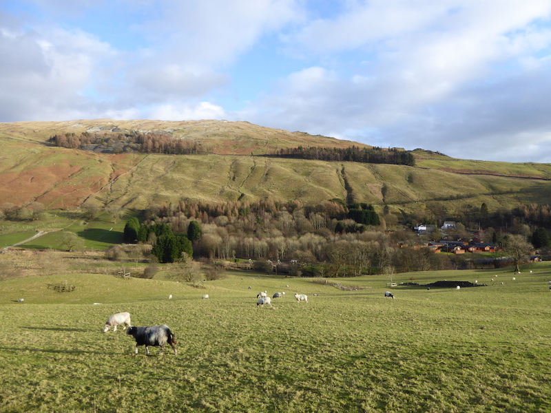
Finally, looking across towards Sour Howes as we cross the last field before we reach the road and make the short walk back to the car.
