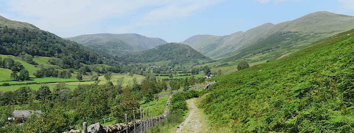
Froswick, Ill Bell and Yoke
Walk date – 31st July 2020
Distance – 11.5 miles
Weather – very hot, occasional high cloud but mostly sunny, a light southerly breeze, very hazy
A long valley, a very steep climb, three high fells and a walk in the park, that’s today’s walk in a nutshell. We started out very early to get the steep climb up Scot Rake over and done with during the cooler morning hours. That was the plan but the moment we stepped out of the front door we knew it was doomed. The morning air was very warm even at 6 a.m. so by the time we had driven over to Troutbeck, parked up and were ready to go the mercury had already risen a good few degrees and kept climbing from then on. By 11.00 am the Kestrel meter reading was 24C, three hours later it was 32.2C. A very long and very hot walk so plenty of fluid and lots of face mopping stops were the order of the day. The intermittent cloud cover and light breeze played their part too and were very welcome every time they turned up.
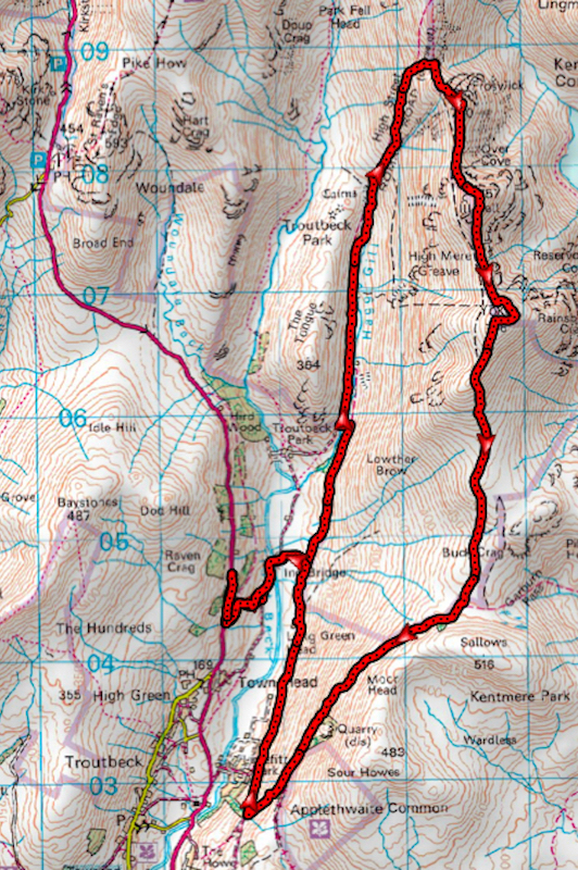
Route
A592 lay-by above Town Head, Troutbeck – Ing Lane – Ing Bridge – Hagg Gill bridleway – Scot Rake – Froswick – Ill Bell – Yoke – Garburn Road – Limefitt Park – Ing Lane – Ing Bridge – A592 lay-by above Town Head, Troutbeck
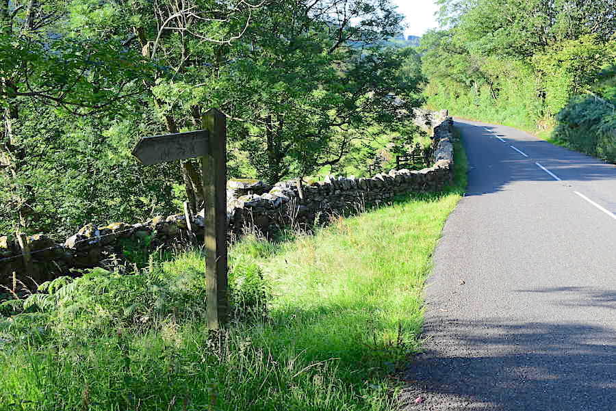
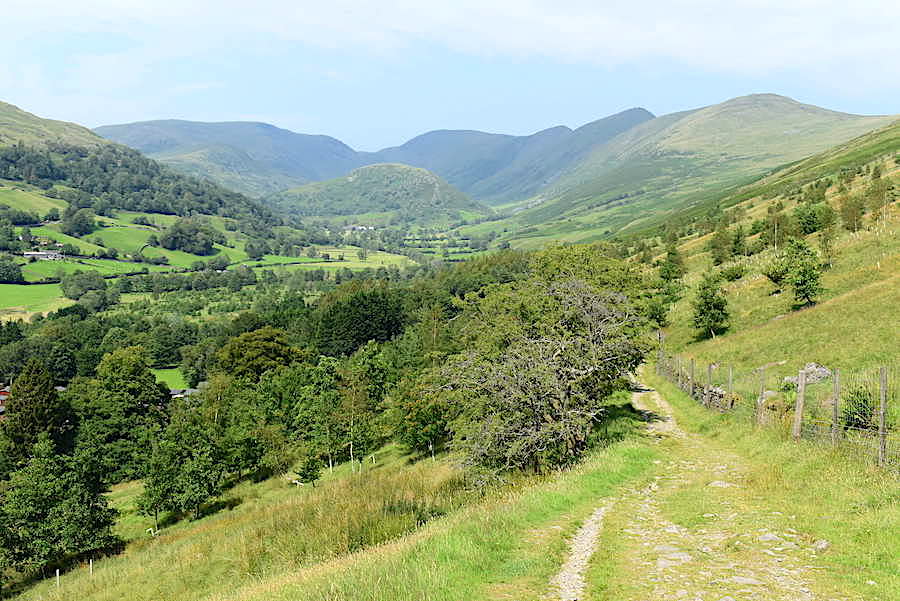
A short road walk down from the lay-by brought us to this finger post indicating the start of the public footpath up to the Kirkstone Pass some three miles back up the hill.
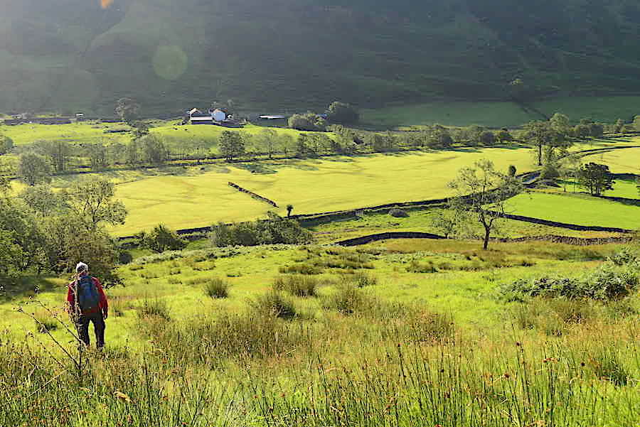
A short distance along the path we came to a gate which we passed through, turned down to the right and made our way down the rough hillside towards another gate and out onto Ing Lane. There is no visible path down here but we kept coming upon traces of one which has obviously fallen out of use over the years. The early morning sun gave a golden glow to the Troutbeck valley fields.
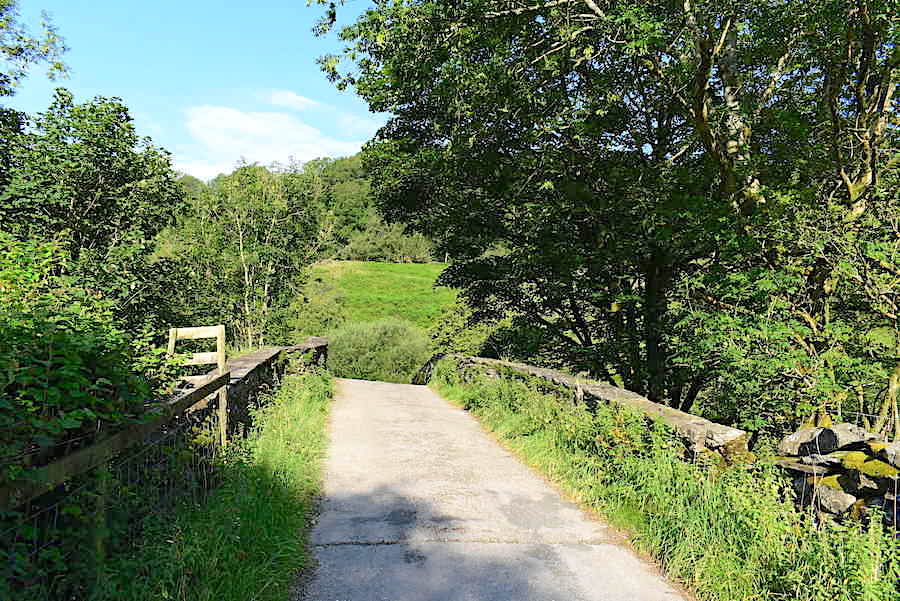
Once we were on Ing Lane there was only a short walk round to Ing Bridge and after crossing the bridge we walked the short distance to a farm access lane on the right. The access lane led us onto …..
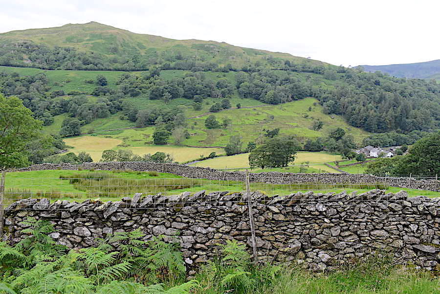
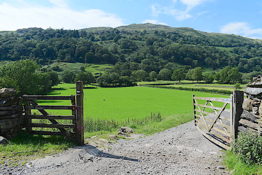
….. the footpath running along the Troutbeck valley along the lower slopes of Yoke. Here I took a look back from the gate across the fields towards Baystones. The bank of cloud suddenly appeared in what had been a cloudless blue sky up to this point.
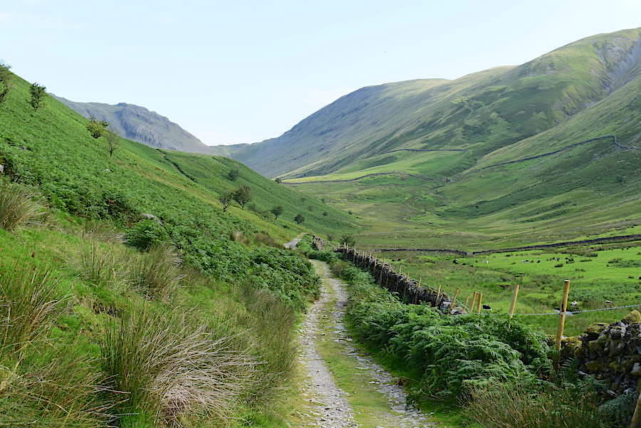
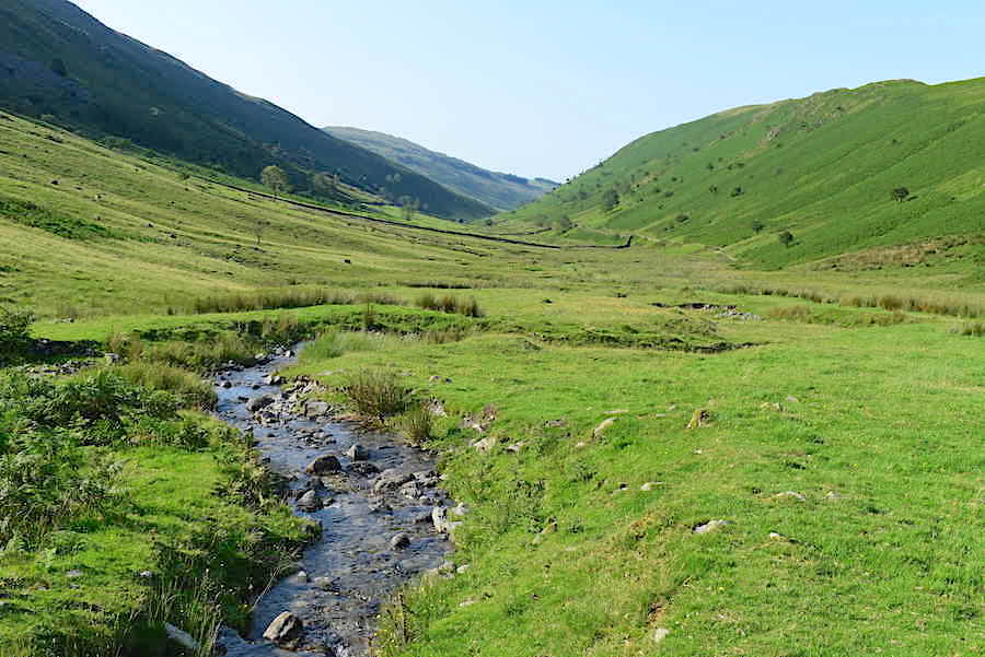
From the gate we headed north along the track towards the head of the valley where the skies remained blue and cloudless.
The bank of cloud eventually caught up with us. It was very welcome and we were glad to have some shade in which to cool down for a while.
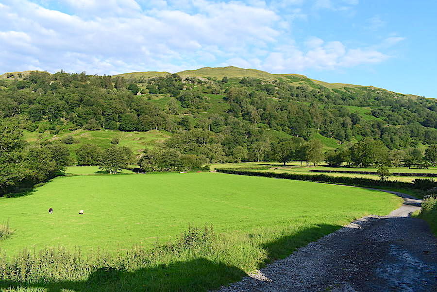
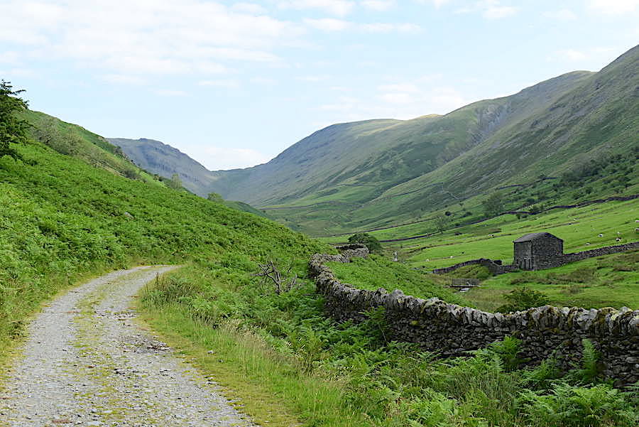
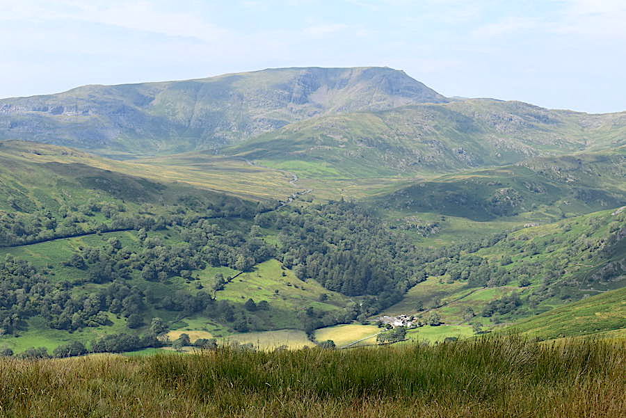
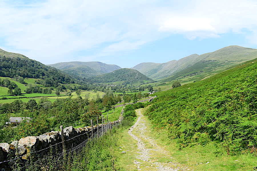
Further along the valley and still relishing the shade. Baystones is on the skyline and Troutbeck Park farm is tucked into the valley bottom over to the centre right.
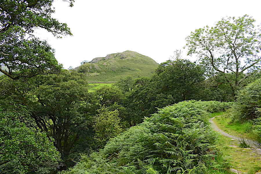
Further along the path now and the summit of Troutbeck Tongue comes into view.
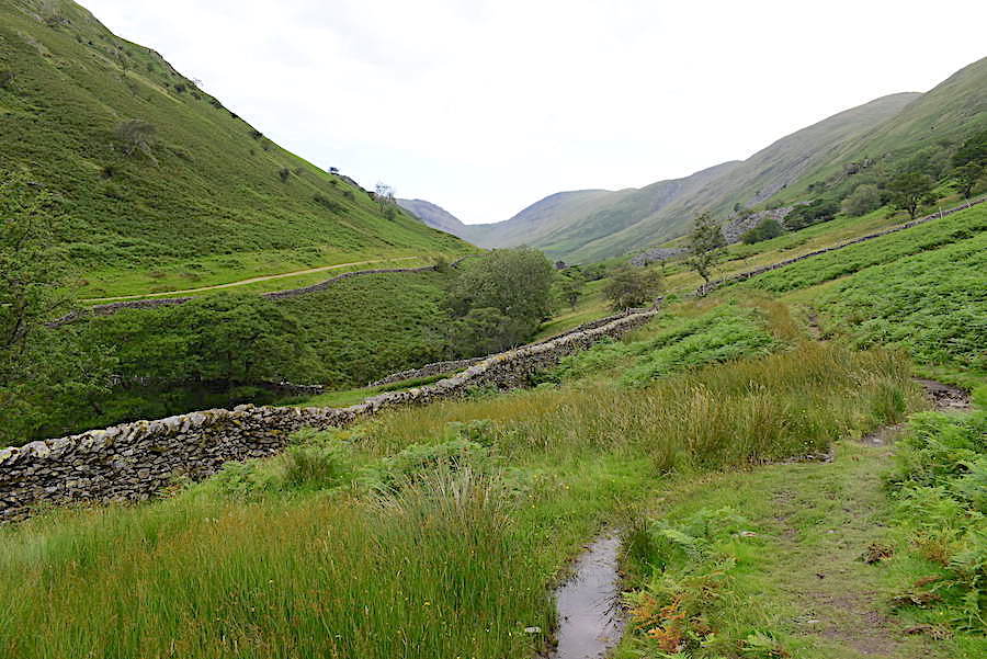
Still heading up the long valley and now the path on the opposite side of Hagg Gill can be seen. It makes its way through the valley over the lower slopes of Troutbeck Tongue.
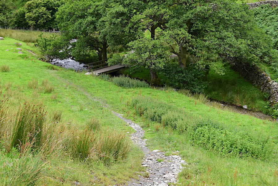
We left the path we had been using at this point and dropped down to the bridge across Hagg Gill …..
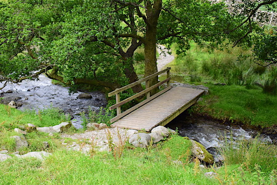
….. and after crossing over followed the path up the short rise to the track running below Troutbeck Tongue.
On the Troutbeck Tongue path now but there’s still a long way to go before we can do anything about getting up to the fells on the right of the shot.
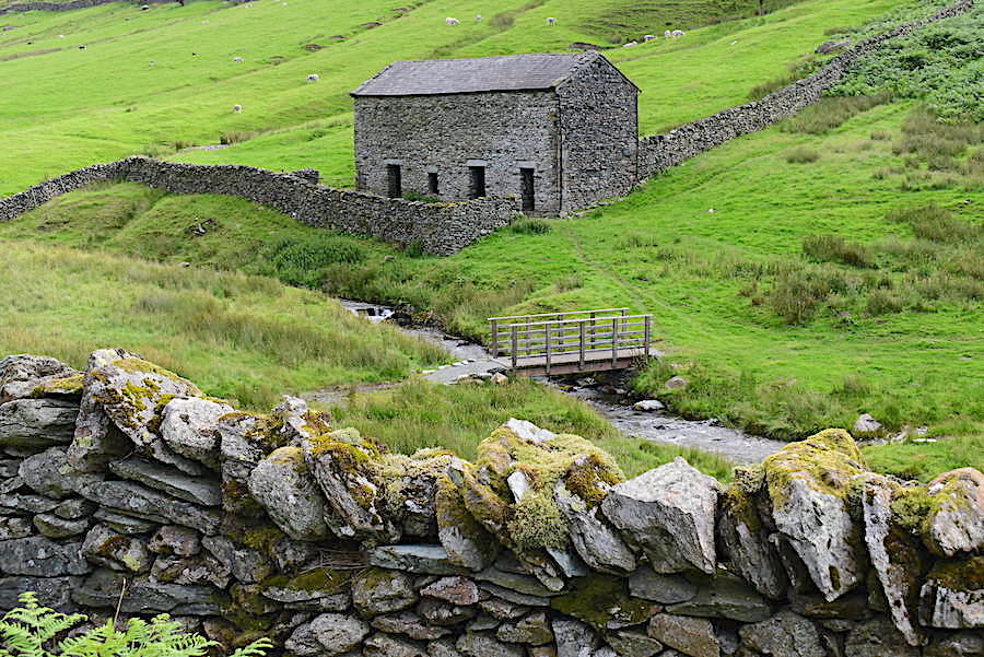
The old barn close to Hagg Gill and the footbridge across it.
We kept hearing shouts and calls across the valley but we couldn’t pinpoint their source. A little way back down the track we passed a quad bike so we knew that farmers and their helpers were over there looking for their sheep.
There are some very handy rocks just here so we stopped for a short break. At this point we’d walked three and a quarter miles up the valley so we thought we’d better take some liquid on board and have a quick snack before turning around and dealing with the first steep climb of the day.
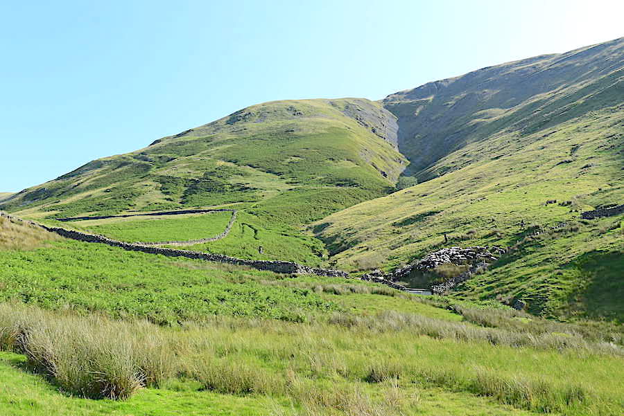
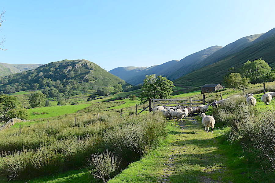
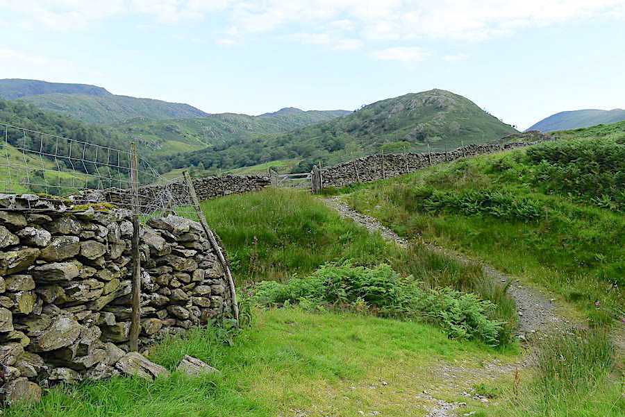
We were heading up towards the wall when we saw the reason for all the shouting and yelling, sheep being brought down off the fellsides and herded onto these lower pastures, its shearing time again. When we reached the gate in the wall, across the lower part of the shot, the group of chaps doing the herding were having a short break so we had a quick chat with them. They’re working long days at the moment, they finished at ten last night and were up at six this morning to get the sheep down from this side. After that’s done they will be going over to the Kentmere side to round up the sheep there. Eventually the whole flock will be brought down to the farm for shearing over the weekend.
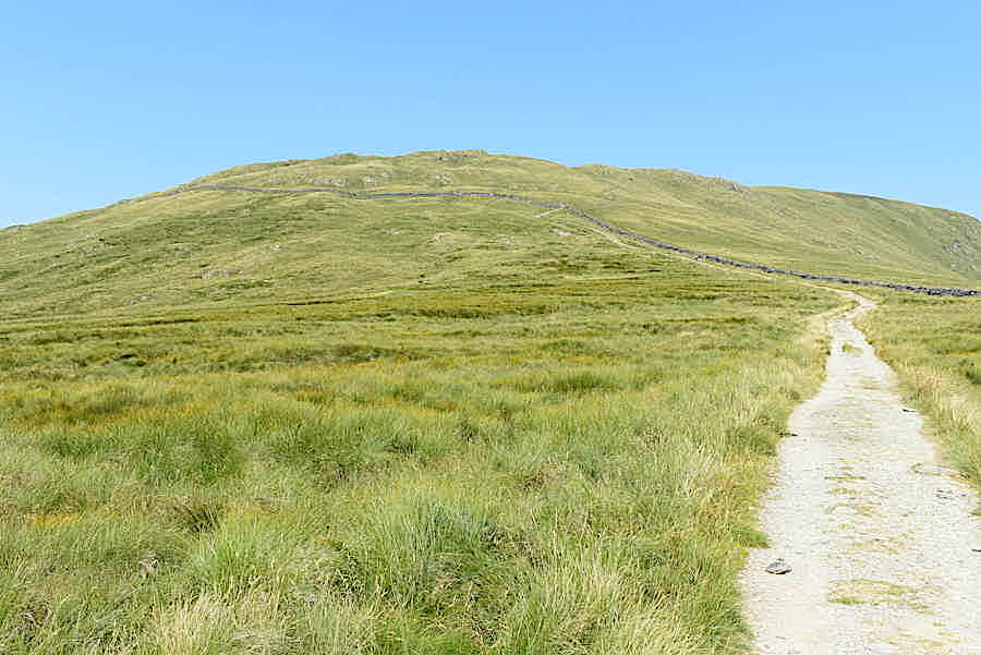
We left the group enjoying their break and carried on up the steep path beside the wall going up the fellside. We were soon overtaken by one of them, a younger lad in his mid-teens, who was on his way up to the ridge to begin herding the sheep down the Kentmere slopes. Even with his youthfulness he too had to stop for a breather every so often. A slightly older lad came up a while after him and had a chat with us as the three of us took a break from the steepness. We got around to talking about the huge number of visitors in the Lake District at present and he mentioned that people were parking where they shouldn’t, leaving rubbish behind and that he’d even had people complaining to him that there were cows in the fields!
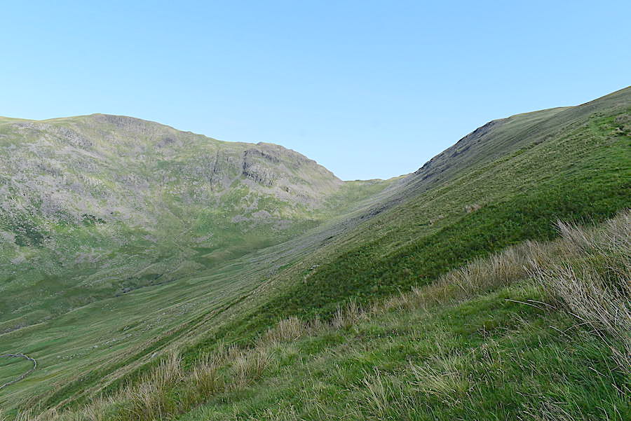
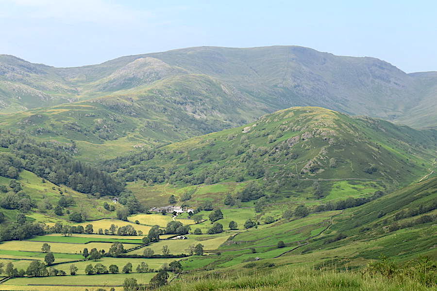
The lad carried on up the rake to find his pal so they could begin their herding down the Kentmere side. We carried on at a much more leisurely (i.e.slower) pace and eventually reached this point where the rake begins to turn upwards towards the ridge. The view from here is of Threshthwaite Mouth rising up to Stony Cove Pike.
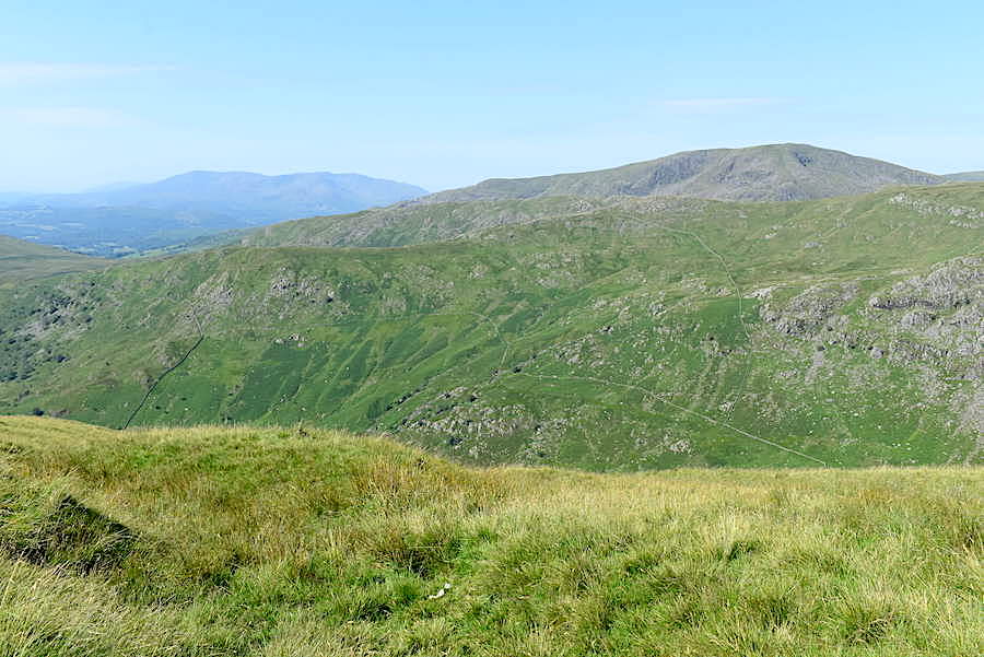
Across the Troutbeck valley the Coniston fells have appeared on the left skyline with Red Screes over on the right.
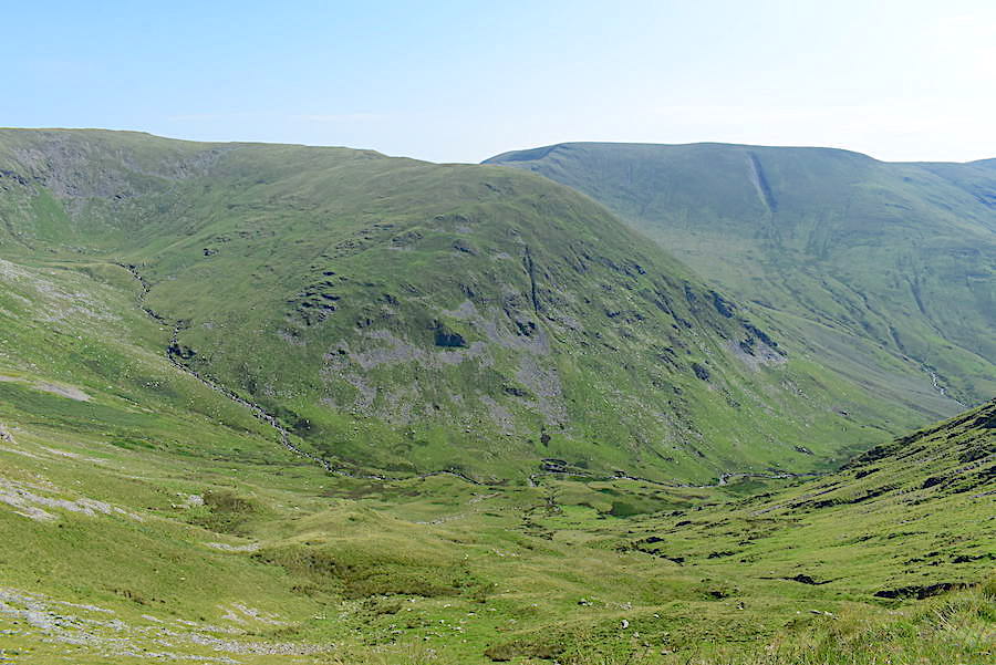
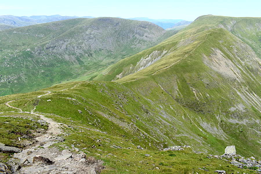
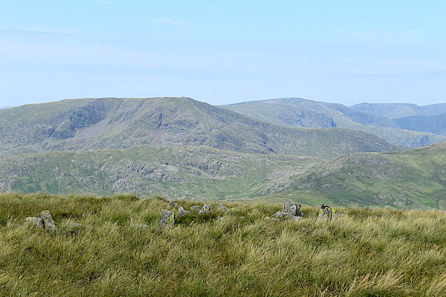
The gradient becomes easier as the path curves around and finally we are on the ridge path where we take a break, top up with drinks and sit on the grass for five minutes to take in the view of Lingmell End and Harter Fell across the Kentmere valley.
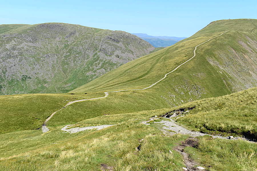
From the climb up Froswick we took a look back at the little col where we joined the ridge path when we emerged from the Scot Rake route. We turned right from the col to climb Froswick, had we turned left we would now be on our way up to Thornthwaite Crag and its beacon, a zoom in may be required to spot the beacon though. Opposite Thornthwaite Crag is Stony Cove Pike. Blencathra is just visible in the gap between the two.
From the summit of Froswick, the Coniston fells and Red Screes again, with the tops of some of the Scafell group just appearing behind Red Screes.
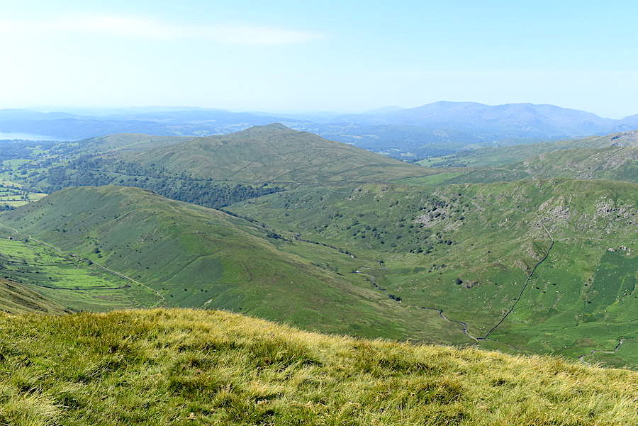
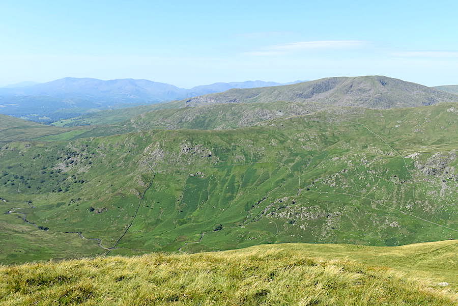
Also from Froswick’s summit, below us is Troutbeck Tongue with Wansfell behind it and the Coniston group on the right skyline.
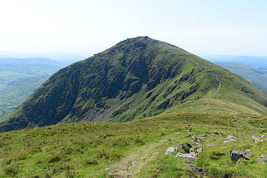
Ill Bell from Froswick. These are not gentle undulations so another steep climb awaits us.
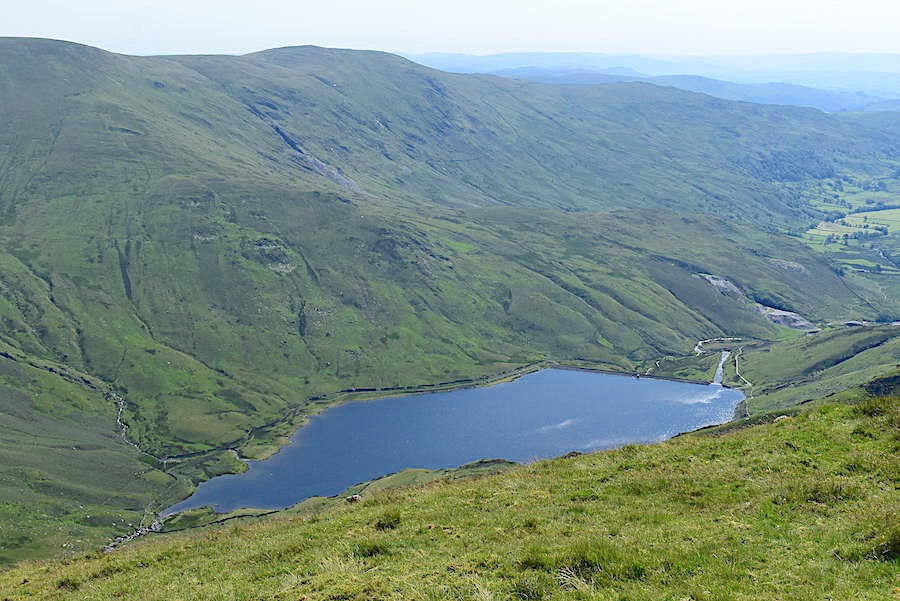
Kentmere reservoir and Kentmere Pike from Froswick.
Stony Cove Pike and Thornthwaite Crag from Froswick’s summit.
Looking west from Froswick.
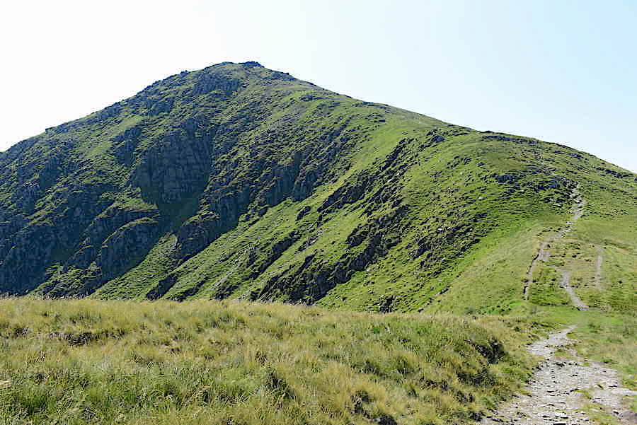
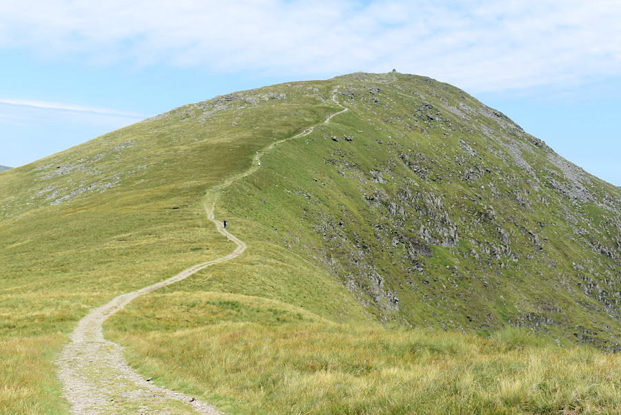
Down from Froswick and then up to Ill Bell, hot work today!
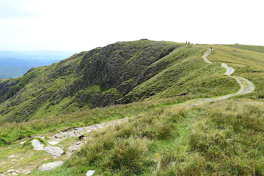
View back to Froswick from the climb up Ill Bell.
Lingmell End and Nan Bield Pass from the climb.
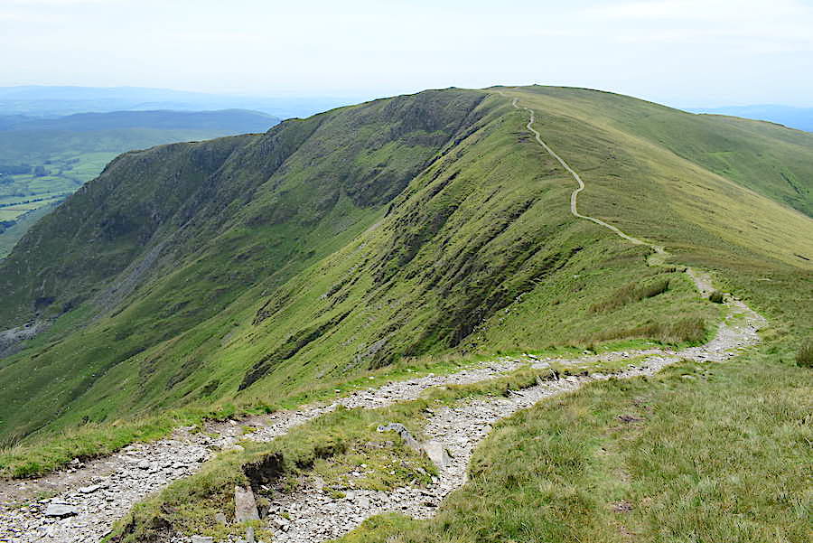
View back down the path from just below the top of Ill Bell.
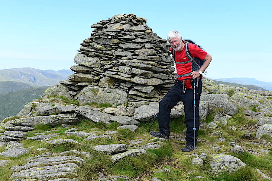
At last we’re on the top of Ill Bell, phew its hot.
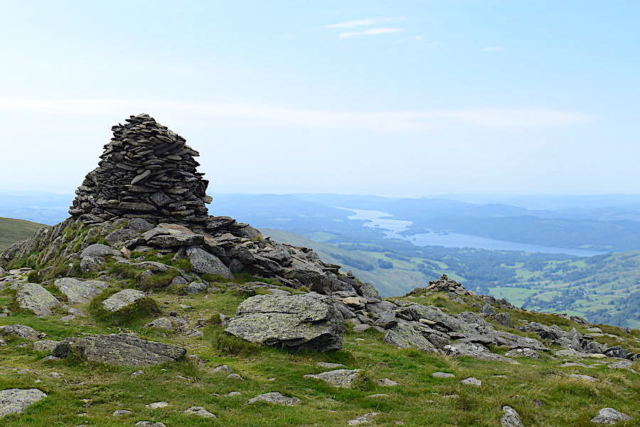
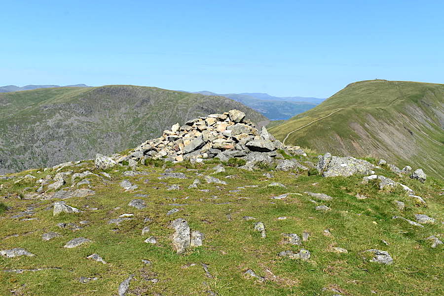
The slightly smaller cairn near the one in the previous shot, and a very much smaller one a little lower down. Lake Windermere in the hazy distance.
Yoke from Ill Bell. Towards the end of the left hand slope Rainsborrow Tarn can just be seen.
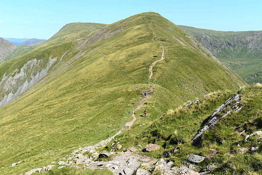
Down from Ill Bell and across a gentler gradient to Yoke. For anyone who may not already know we’re walking over the western section of the Kentmere Horseshoe.
View back to Ill Bell …..
….. and a look ahead to Yoke.
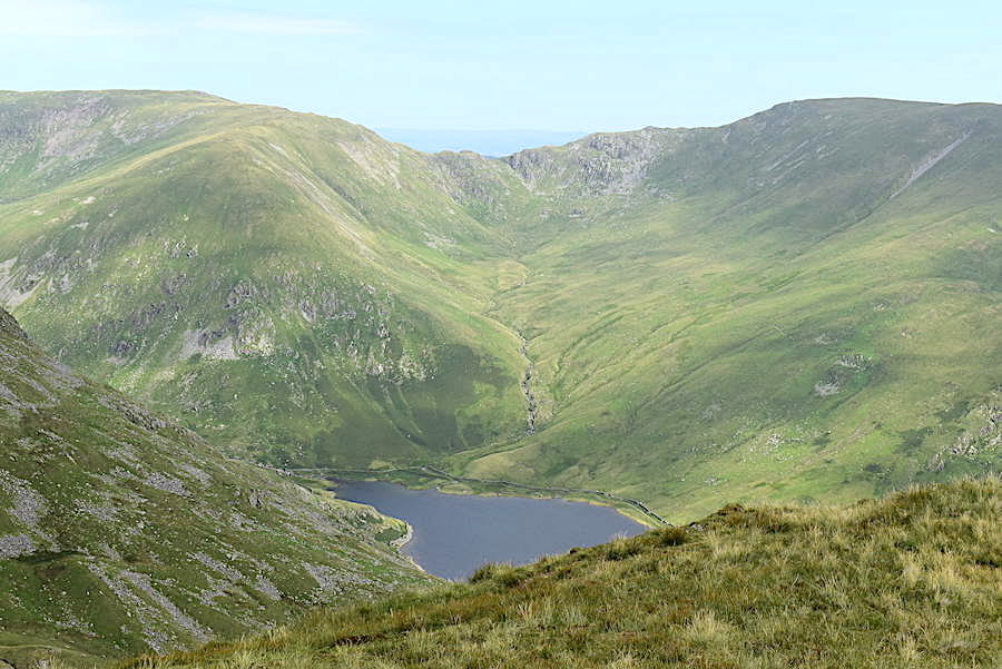
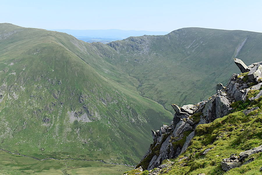
On the way over a break in the cloud offered this sunny shot of Lingmell End, the Nan Bield Pass and Kentmere reservoir.
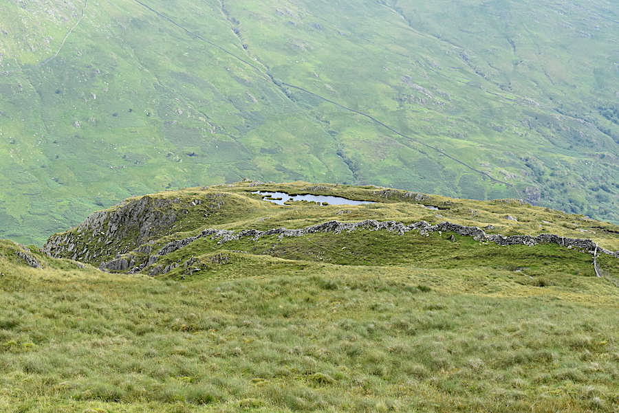
Instead of carrying straight on to the summit of Yoke we dropped down just far enough for this shot of Rainsborrow Tarn perched on the top of Rainsborrow Crag.
Kentmere Pike and Rainsborrow Tarn.
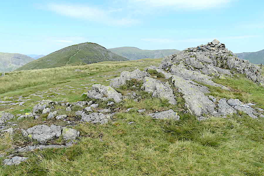
Back up to the small outcrop marking the summit of Yoke where we finally downed packs and had our lunch break.
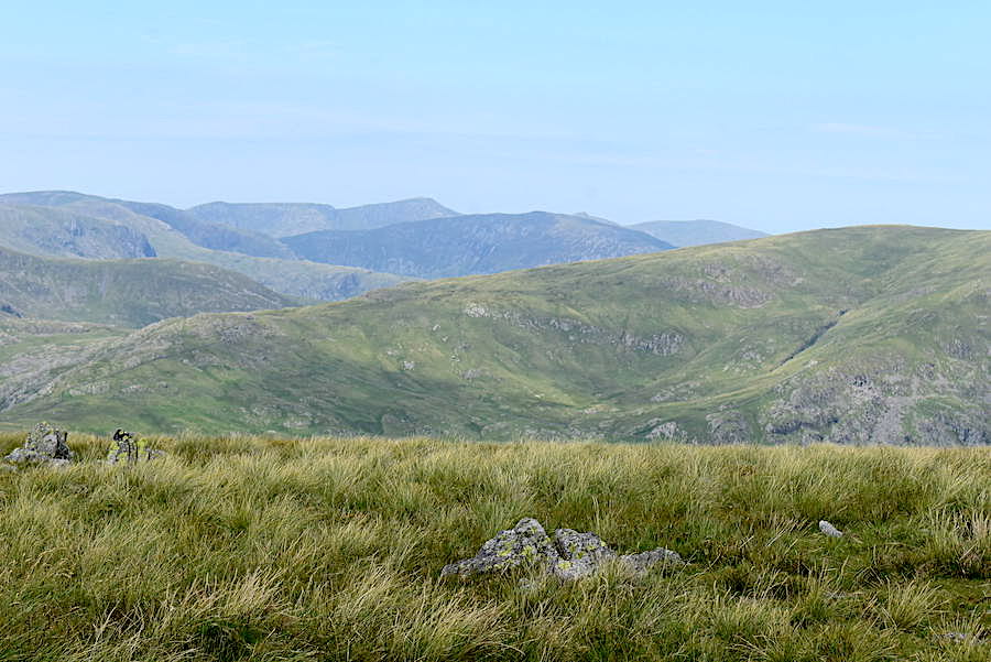
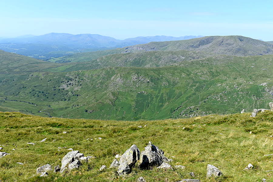
Looking west across Caudale Moor from Yoke summit. Saint Sunday Crag is the darker hump in the middle behind Caudale Moor with Helvellyn behind and slightly to the left of Saint Sunday. I guess you can probably identify what the other fells are.
Still looking westward from Yoke over to Red Screes, Dove Crag, Hart Crag and Fairfield, with the Helvellyn group over on the right skyline.
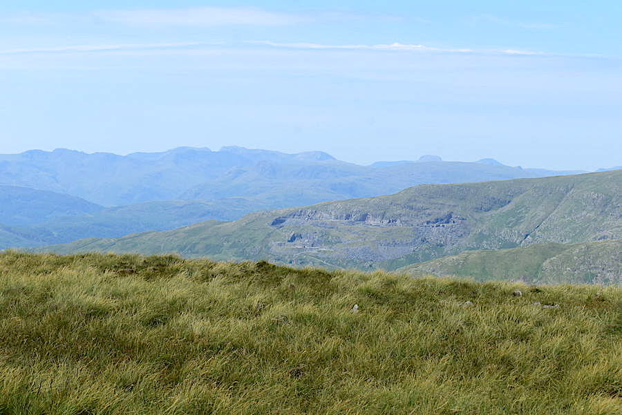
A little further to the south west is the Scafell range and popping up over on the right skyline are the familiar shapes of Great Gable and Pillar.
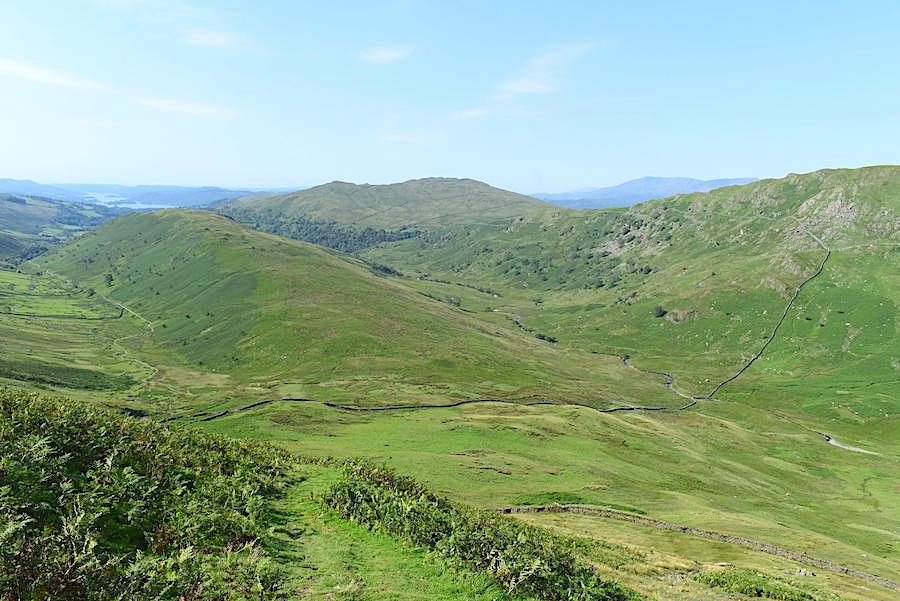
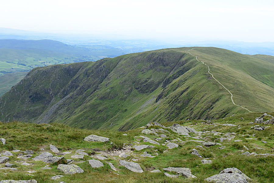
Following our lunch break we had an easy and very pleasant stroll down Yoke to the Garburn Road, with a look back along the way before the view disappeared.
The junction of the path from Yoke at the Garburn Road. Having lost height we’ve also lost much of the breeze and its correspondingly hotter down here. We took the right hand path and decided that our neck coverings would be dunked in cold water the minute we came to a beck.
Red Screes across the valley from the Garburn Road.
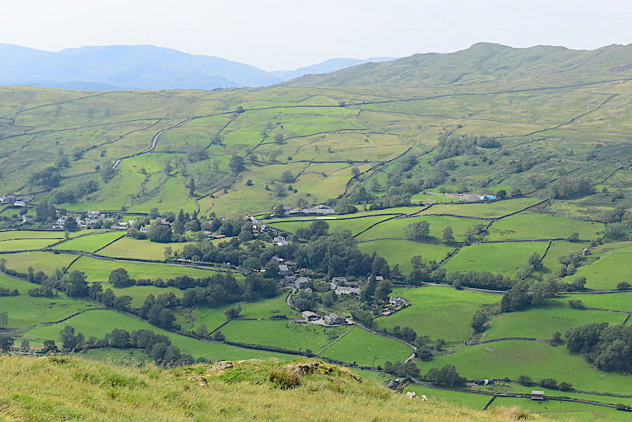
Looking across the valley towards Troutbeck village and Wansfell.
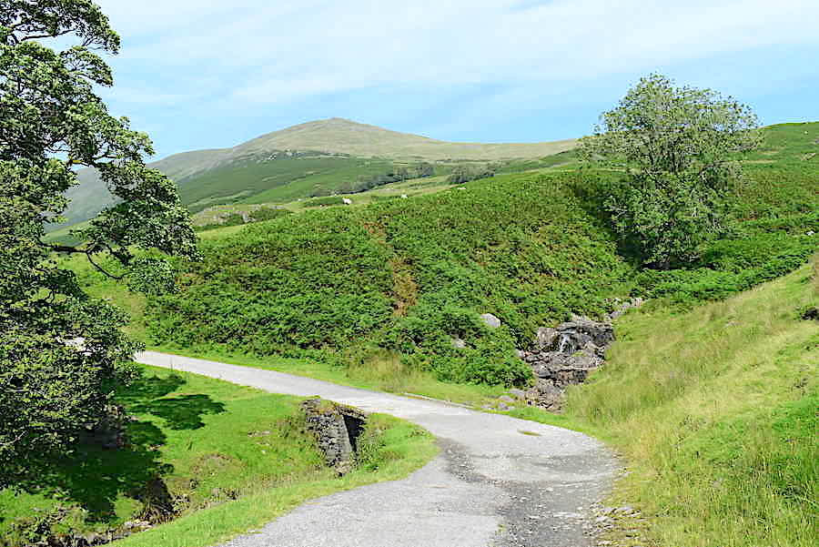
Caudale Moor dominating the skyline and Troutbeck Park farm getting a sunny spell. We had been dunking our neck coverings and splashing our faces in cool beck water all the way down but when we came to an underground spring, from which three or four crystal clear ribbons of water were flowing over the rocks into the beck alongside the path, we decided to fill an empty bottle with some cold, fresh water. As J was holding the bottle under one of the flows a group of four walkers came alongside us. If you’ve ever been stopped in the street by someone with a bible tucked under their arm and an earnest look in their eyes, you’ll probably know what I mean when I say that one member of the group seemed to be very much in the same vein. He stopped and asked us if we would like some ‘real’ water. I thanked him for his offer but said that we had plenty to drink. J, holding up the by now full bottle of cold, clear spring water, replied in blunt Yorkshire fashion remarked that “this is real water.” The rest of the group standing nearby spoke nary a word and the solicitous chap offering us ‘real’ water rejoined them and they carried on down the Garburn Road in complete silence. I suppose by ‘real’ water he meant the stuff you pay over the odds for in any shop or supermarket and was feeling sorry for us having to make do with ‘unreal’ water and thereby possibly succumbing to some stomach bug or other. We’ve both been drinking this ‘unreal’ water for years and neither of us have ever had any sort of stomach bug as a result. I suppose he meant well but we did wonder if he understood where his ‘real’ water actually came from in the first place!
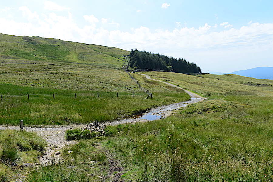
Just beyond the junction with the Dubs Road we leave the Garburn Road and take a sharp right down into Limefitt Park. As you might imagine it was as hot as hell’s kettles through the Park, the valley felt like a giant reservoir of heat and there was no air movement at all. The ‘real’ water group is just ahead of us beyond the trees, they walked all the way back down into the Limefitt camp site again in total silence. It seemed quite odd behaviour when compared with most groups of walkers who talk to each other as they walk along.
When the silent walking group turned down into the camp site at the appropriate junction we carried on straight ahead through the park and will eventually leave this path at the same place where we joined it this morning.
Baking hot and more face splashing and dunking of neck coverings whenever water appears. Ill Bell appears on the skyline.
Here we are back at the farm access lane leading us down to Ing Lane. We re-traced our outward route along Ing Lane, across Ing Bridge, then over the field and back up to the footpath to the A592.
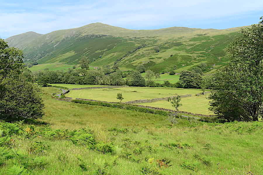
As we crossed the field back up to the gate and the footpath I took a look back across Troutbeck to Froswick, Ill Bell and Yoke and thought about the lads on the other side herding the sheep back down into Kentmere. They have been up and down those fells since six this morning and in this heat they must be feeling more than a little threadbare by now, I know we are. This last little climb back up to the road seemed to be much more of a challenge than anything else we’ve climbed today and, of course, after eleven and a half miles, there’s not a lot left in the tank by now. I reckon both of us will be busy doing nothing tomorrow.
On the drive back home the amount of cars we saw spilling out of already overflowing car parks and haphazardly parked anywhere there was a space was beyond belief. It obviously gets busy during the summer season in a normal year but nothing like what we saw today. Of course this isn’t a ‘normal’ year and many people seem to have chosen to take their holidays at home rather than going abroad, no doubt for a variety of reasons, but I suspect the main one would be to avoid any more last minute changes and further pettifogging regulations regarding returning to the UK. I’ll refrain from writing more as the fury, anger and absolute disgust I have for all those responsible for, and who are still perpetuating, this completely unnecessary and now utterly ludicrous social mess and appalling economic situation which the country has been forced into, together with the continuing subjugation of its citizens, will spill out all over the page and become ever more coarse and derogatory. What an absolute disgrace!