
Grasmoor and Wandope
Walk Date – 10th September 2015
Distance – 9.5 miles
Weather – sunny and dry but very windy
Another dry and sunny and dry day was promised although there would be a bit of a breezy south-easterly wind according to the weather presenter. It was a rather more than a breeze, it was a very strong wind which battered us all day, apart from the few occasions when we were sheltered by bits of higher ground here and there.
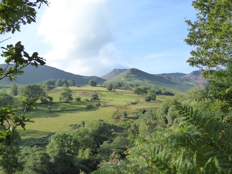
We parked at Braithwaite, just outside Keswick, and took the path along Coledale which leads to the Force Crag Mine. Its a good wide path all the way to the mine as it provides vehicle access to it, so the beginning of the walk gives the legs a chance to warm up before tackling the steeper route beyond the mine.
Route
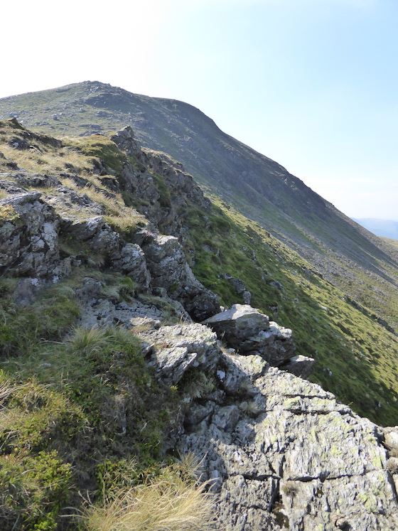
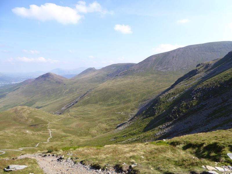
Looking into Coledale from the path to Force Crag Mine. The distinctive top of Causey Pike is on the centre skyline behind Barrow.
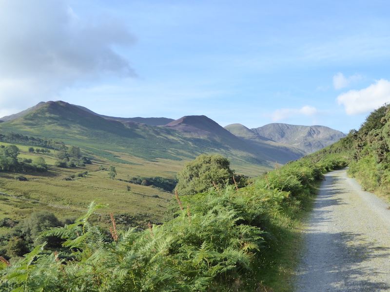
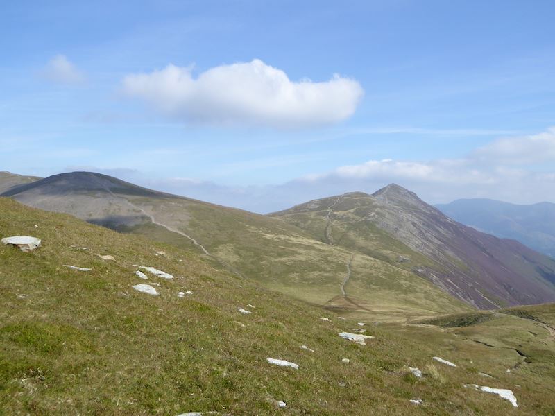
As we follow the main path we get a better view of the Coledale fells. The flattish topped one in partial shade in the centre is Outerside, the rounded hump of Sail is to the right of it, and the next one along is Crag Hill.
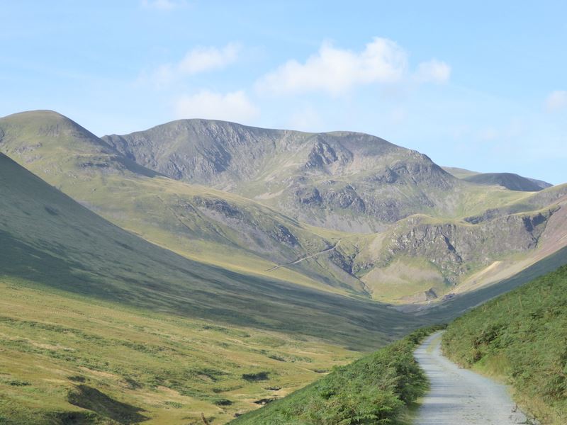
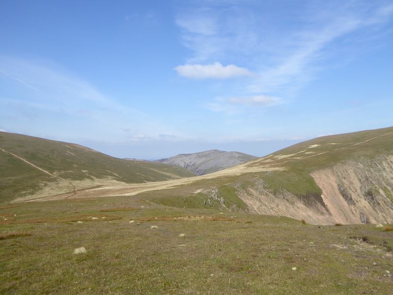
The path we will be following can be seen in the centre alongside Pudding Beck. It will eventually lead us to the grassy col over on the far right of the photo.
![]()
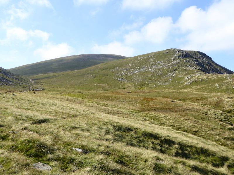
With Crag Hill directly in front of us we begin to see the upward route more clearly as the path snakes across the fell side.
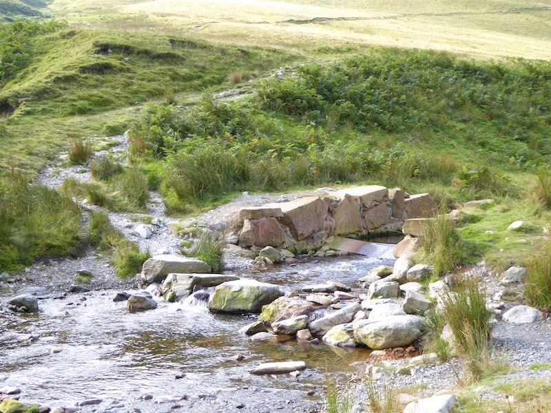
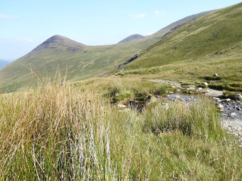
Handy stepping stones across Pudding Beck. I don’t know what its got to do with puddings but isn’t it a great name?
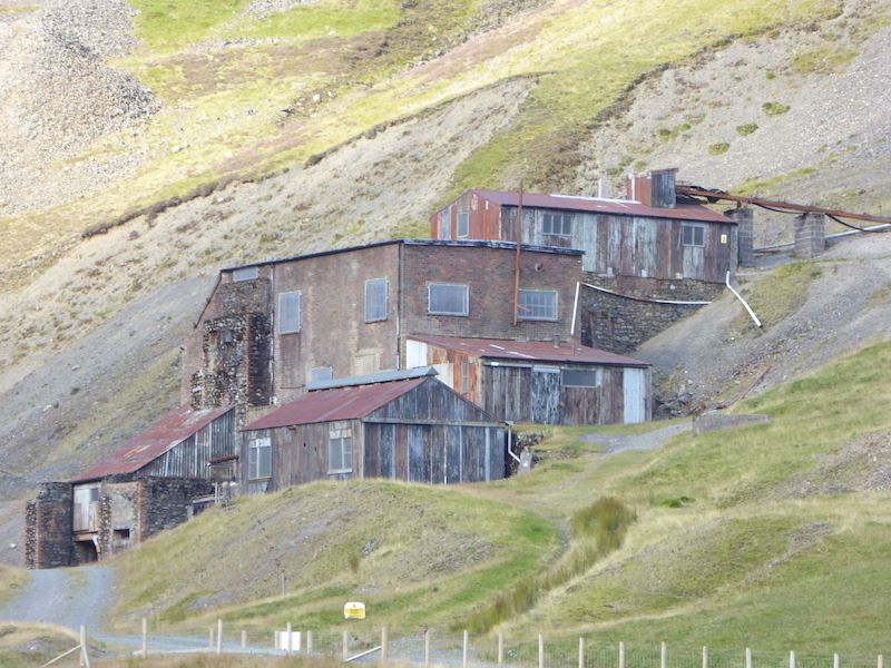
From the other side of the beck I take a look back at the old buildings of the Force Crag Mine. We’ll take a closer look at them on our return leg,
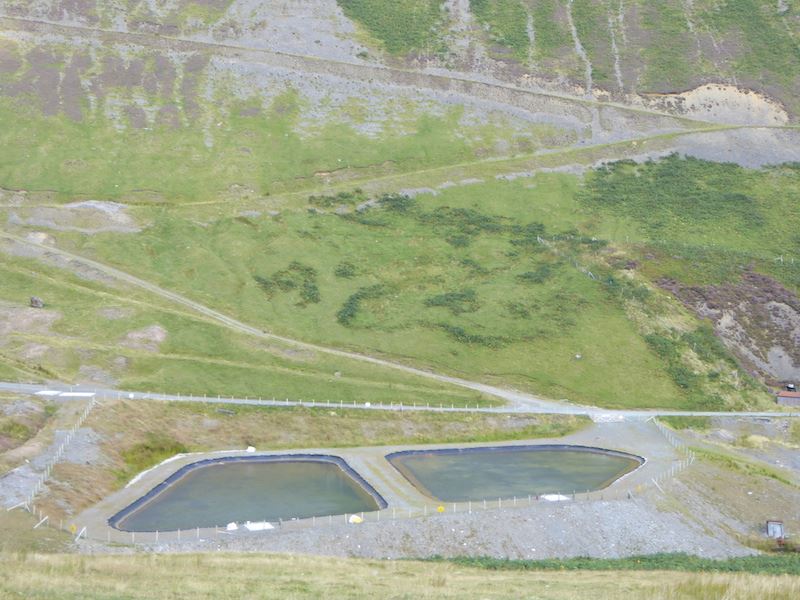
We follow the rising path up to Coledale Hause and take a look down at the Vertical Flow Pools which are being used to filter out harmful minerals from the beck water.
As we get higher we see the familiar view of Hobcarton End and Grisedale Pike.
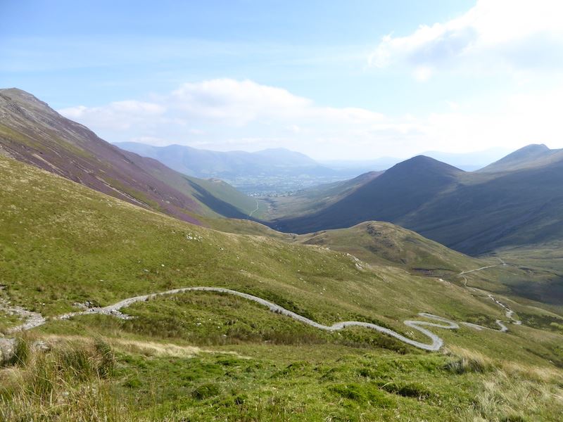
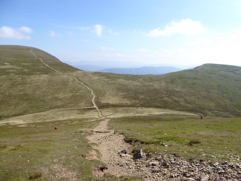
The long and winding road. The thin white line in the centre is what we’ve walked along to reach this point. Its a very long path.
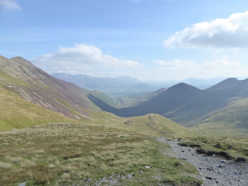
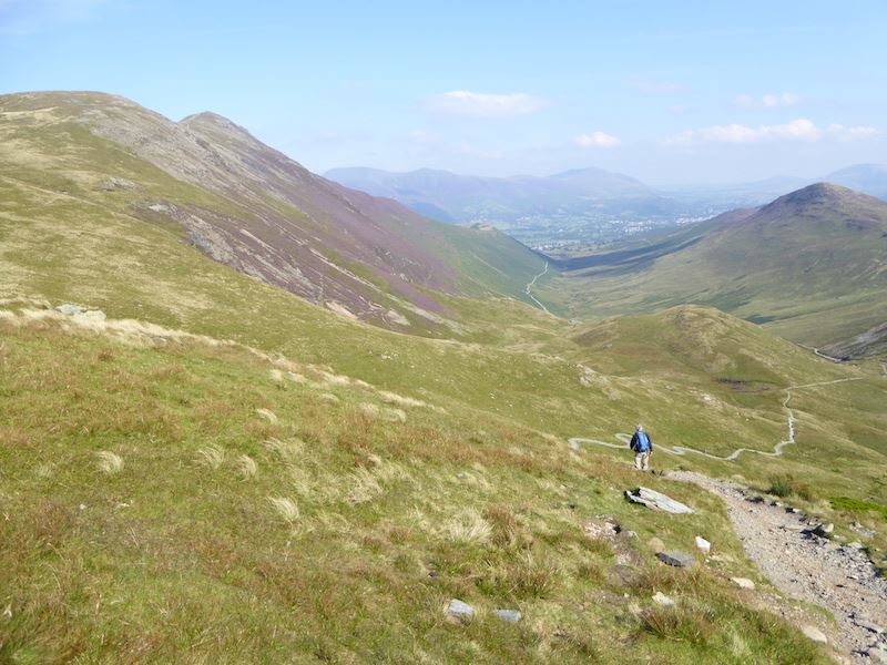
At Coledale Hause we stop and have a look back down Coledale, its a nice day but there is a lot of haze around, difficult to get good pictures on a day like today. Somewhere around this point we met the first two walkers of the day, just a couple of chaps about to descend into Coledale with whom we exchanged greetings and the usual comments about the good weather before we went our separate ways.
From the Hause we follow the path around and looking back we have a view of Sand Hill on the left, Hobcarton End in the middle and Grisedale Pike over on the right.
Looking the other way we still have Sand Hill, now on the right, and the ridge from Hopegill Head over to Whiteside on the far left.
We left the path to climb the grassy slopes of Grasmoor. This shot is looking back across to Grisedale Pike.
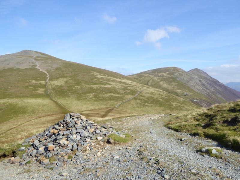
Over on the left of the skyline is Grasmoor, that’s where we’re heading for now using the path you can see in the foreground. As usual this eventually petered out amidst the grass and so we just kept walking uphill until we reached the summit area. As soon as we had some height we were able to look back down and located another path which started by the beck at the top of Gasgale Gill. Next time we go up there we’ll try that path too.
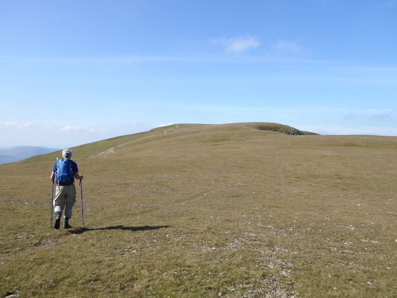
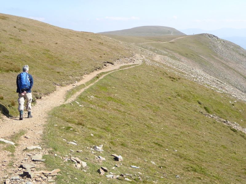
After climbing the grassy slopes we reach the grassy plateau of Grasmoor, there’s a lot of grass in this photo and in the caption. We have a bit more walking to do before we reach the summit area at the western end of the fell. All the significant uphill walking is behind us now and this would have been an enjoyable stroll but for the wind. Being on the exposed top of the highest fell in the area meant that there was no shelter from it so we had to put up with the battering all the time we were up here.
There were lots of people at the summit shelter so we walked over to the western viewpoint to take a look at Loweswater, with Carling Knott and Burnbank Fell rising from it on the left.
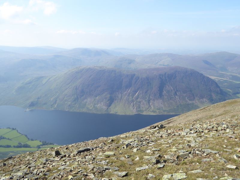
Mellbreak across Crummock Water from Grasmoor top.
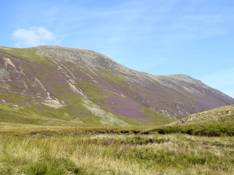
In front of us is the ridge to Whiteless Pike, and beyond that nothing much is really visible. Apparently it was all down to the southerly wind which was blowing strongly and carrying sand particles from the eastern Mediterranean area, where a huge sandstorm was taking place.
The summit area was still crowded so we parked ourselves here for lunch. Out of the wind and a good view of Gasgale Crags, just a bit spiky under the derriere even with a sit mat.

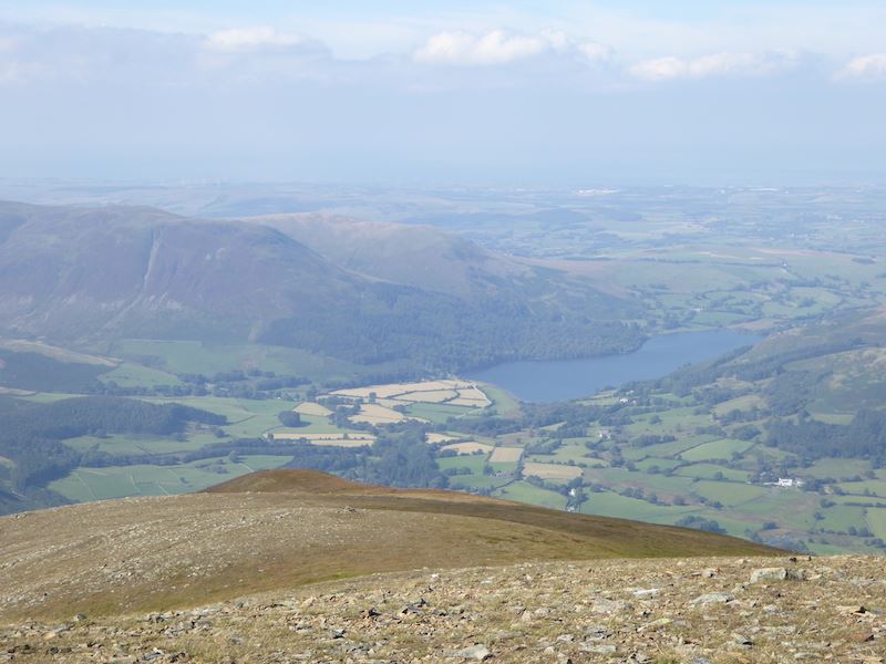
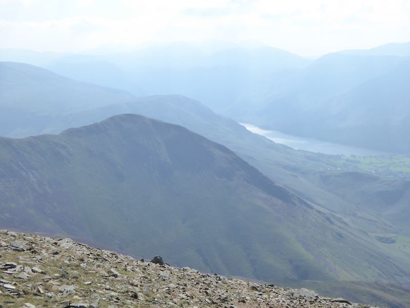
After lunch we went back to the summit and had another look around. Below us is Rannerdale Knotts, the water to the right of it is Crummock Water, and the one to the left is Buttermere. Although it was sunny the conditions were not good for photos.
![]()
The summit shelter on Grasmere, empty now that the lunch time diners have moved on so a chance for a quick shot, as other walkers were already approaching.
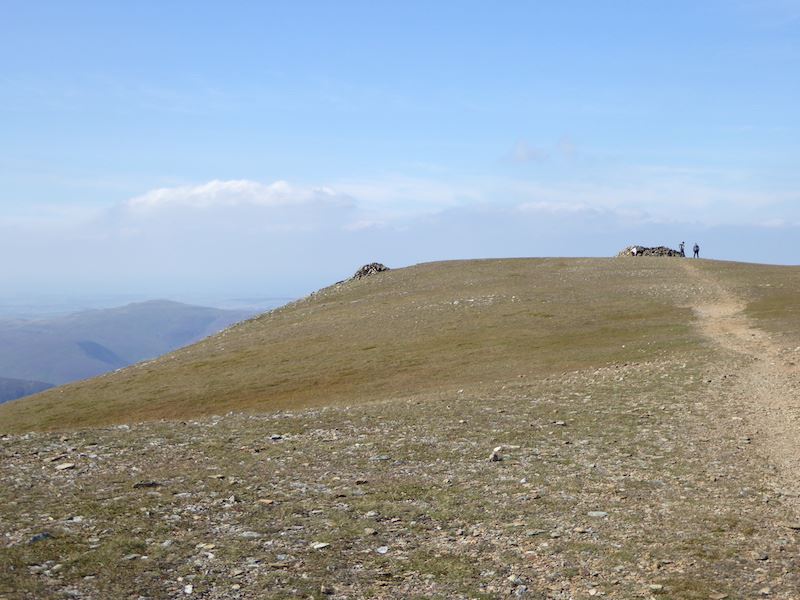
A look back at the summit shelter. Despite the wind there were plenty of people walking on Grasmoor and other nearby fells. I noticed one woman in the shortest of shorts and couldn’t help wondering if she was wishing she’d opted for long trousers. I was wearing three top layers and long trousers and I was still cold. My fingers were numb after taking the photos, so she must have been very cold in those shorts.
Sunlight catches Buttermere just behind Whiteless Pike.
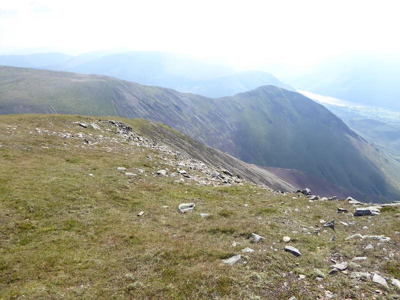
We’re still plodding across Gramoor’s plateau and making our way towards Wandope, over to the right behind the scree slope. Wouldn’t want to try that scree, up or down.
Walking along the Grasmoor path in the sunshine, but we could have done without the strong wind buffeting us constantly.
The Wandope to Whiteless Pike ridge, not on our agenda today, which is just as well as its probably not the most enjoyable thing to do in a strong wind.
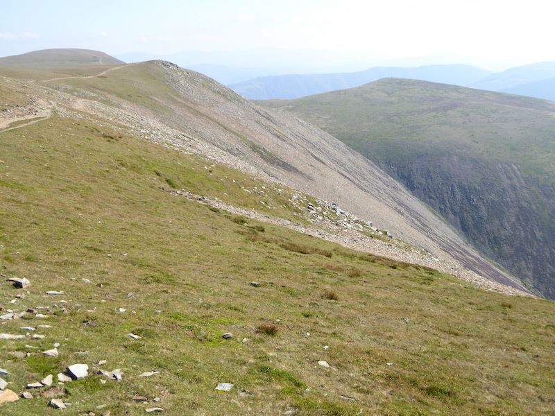
Almost down from Grasmoor, so its straight ahead for Crag Hill, over to the right for Wandope. The man in red on the left was flat out on the grass and having a nap on the grass when we reached him.
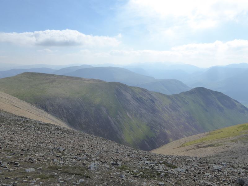
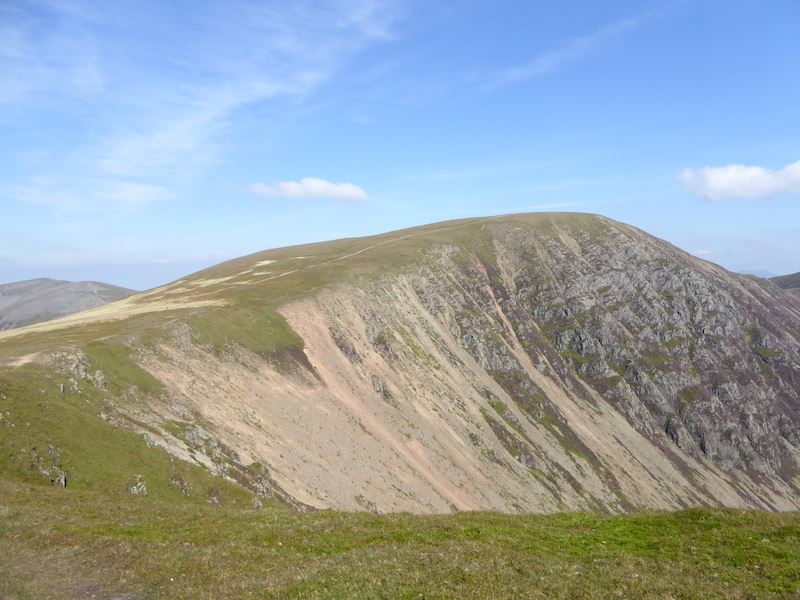
Crossing over to Wandope there’s a good view of Crag Hill and Sail. Just below is the darkish peak of Ard Crags.
A better view of Ard Crags and the ridge leading over to Knott Rigg.
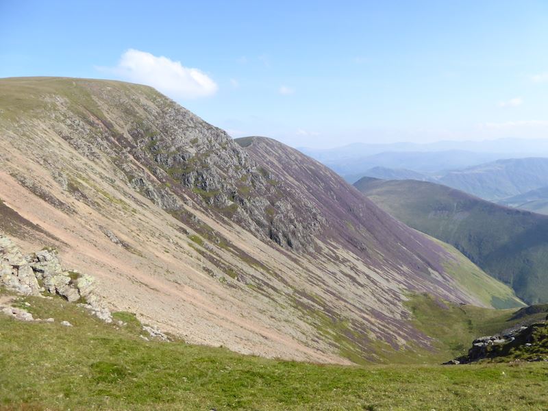
Crag Hill, that’s not on our agenda today either.
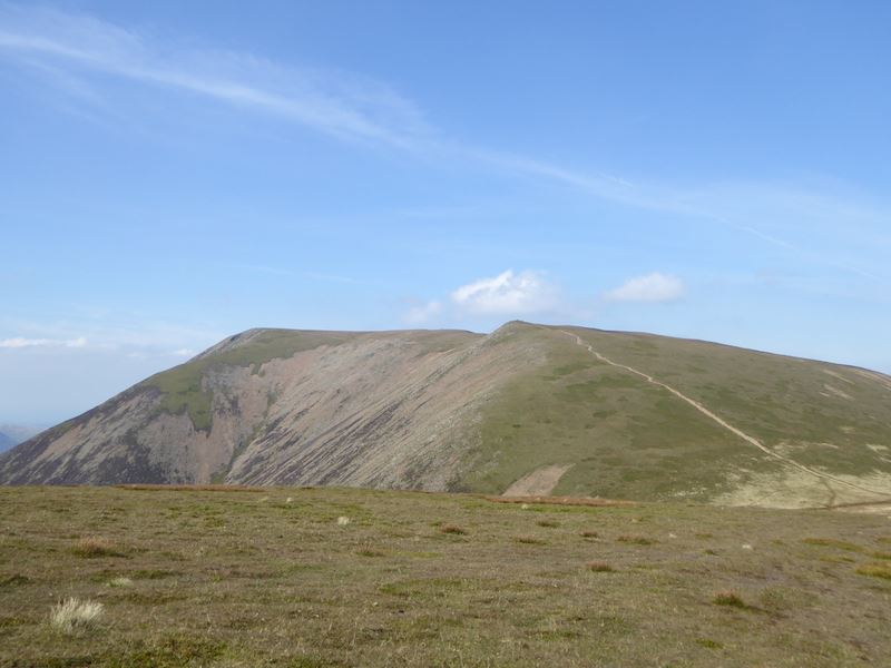
Over there is Grasmoor and the path we came down.
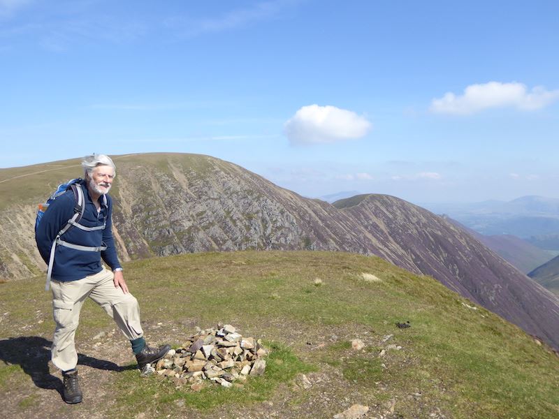
On Wandope summit with Crag Hill and Sail behind, and a hair makeover courtesy of the wind.
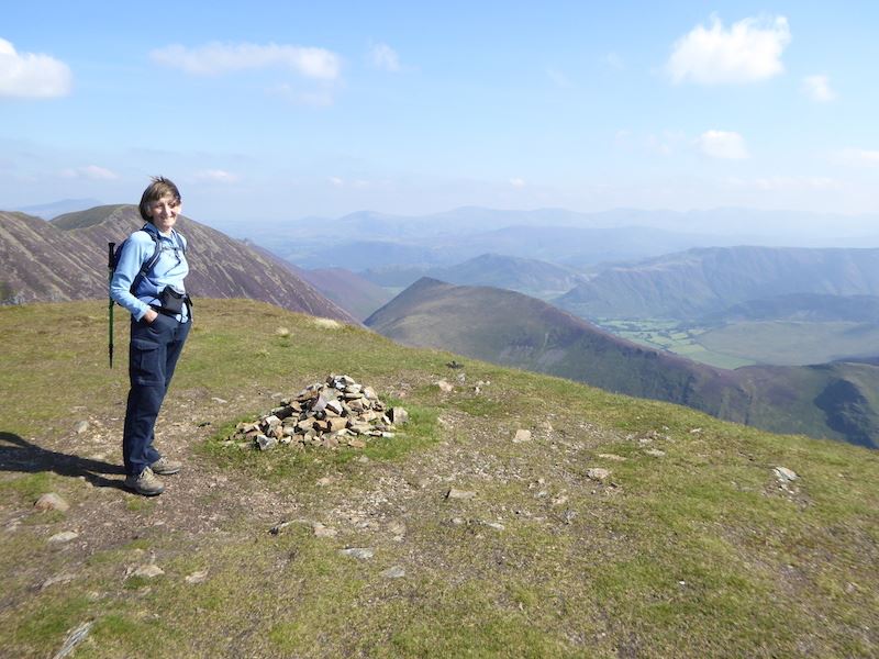
Another hair makeover, I can’t see a thing here what with the hair and the sun.
Leaving Wandope with Grasmoor to the left, Crag Hill to the right, and Grisedale Pike in the centre.
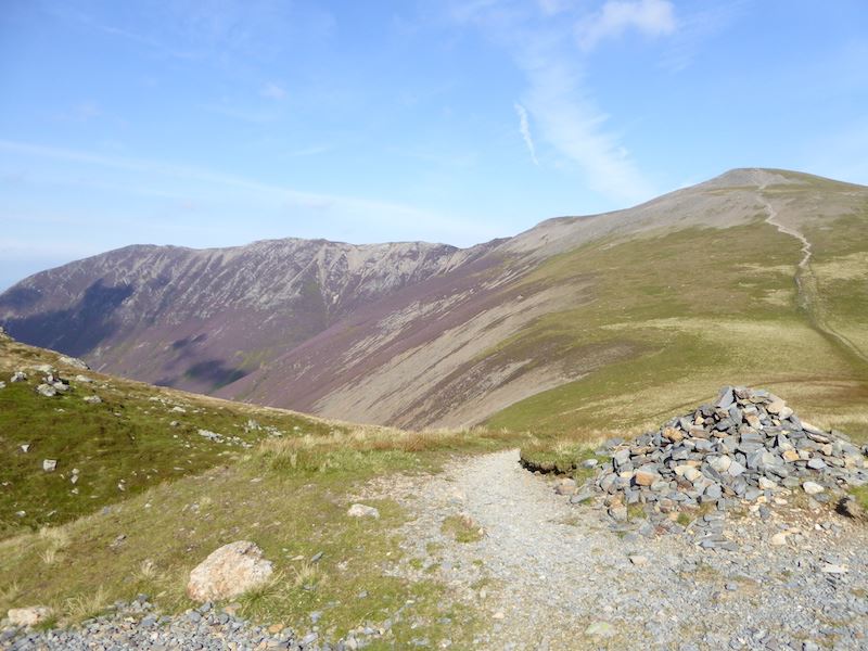
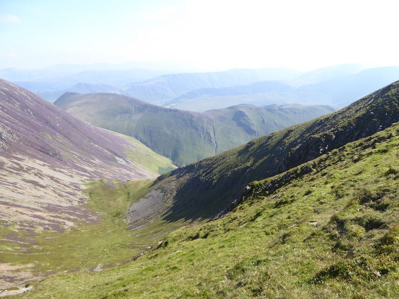
We’re almost back down at Coledale Hause, so I took a quick shot over to the crags leading up to Grasmoor.
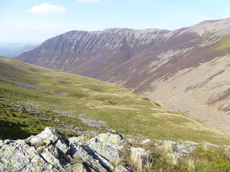
Taken from the same spot but now its a view of Gasgale Crags, at the left end of which is Whiteside.
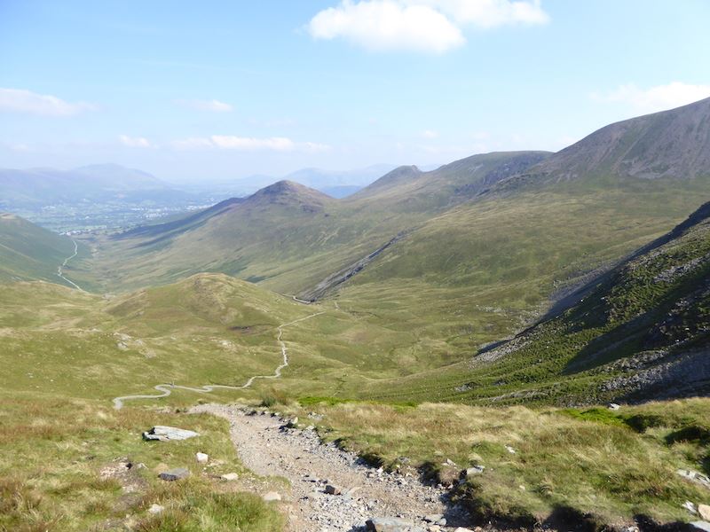
Now its all the way back down the same path through Coledale, the car is parked round the corner at the end of that long thin line on the left.
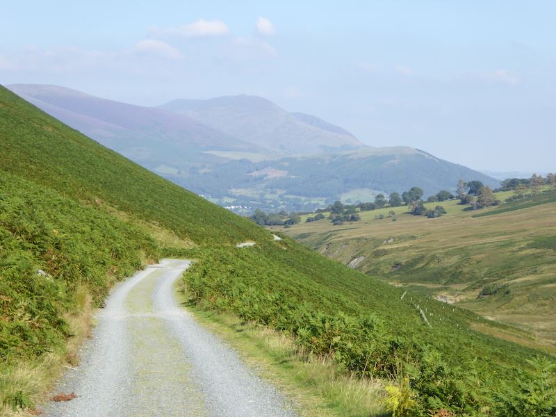
Just follow the yellow brick road, or in this case the white rocky one, and you’ll end up in Braithwaite.
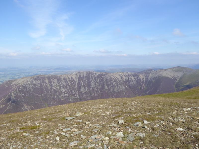
The sun now behind us so its a better view than this morning of Outerside, Causey Pike, Scar Crags and Sail.
A short stop for drinks beside Pudding Beck with a view of the tops of Outerside and Causey Pike.
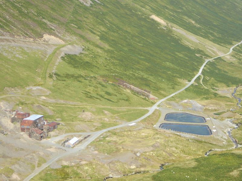
Force Crag Mine and its filter pools as we make our way down alongside Pudding Beck.
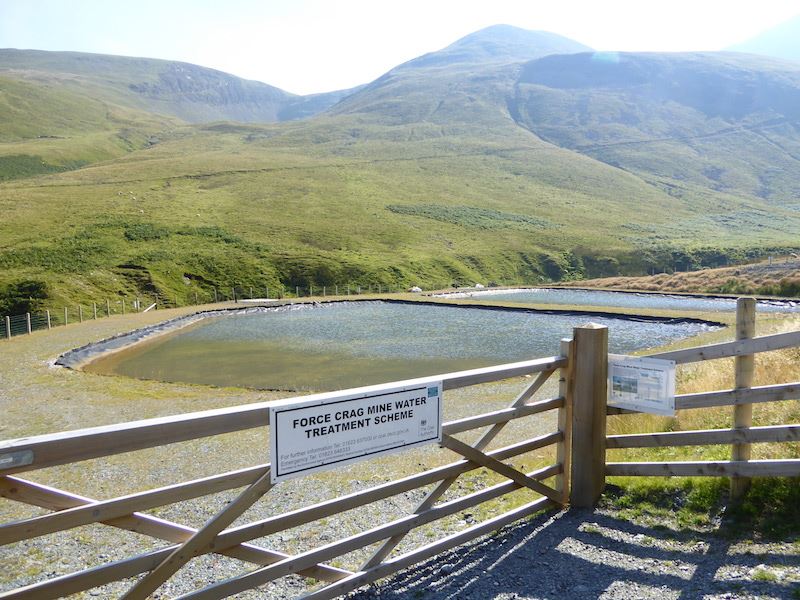
Looks inviting on a hot afternoon but you wouldn’t want to go in, lots of warnings about the minerals in the water.
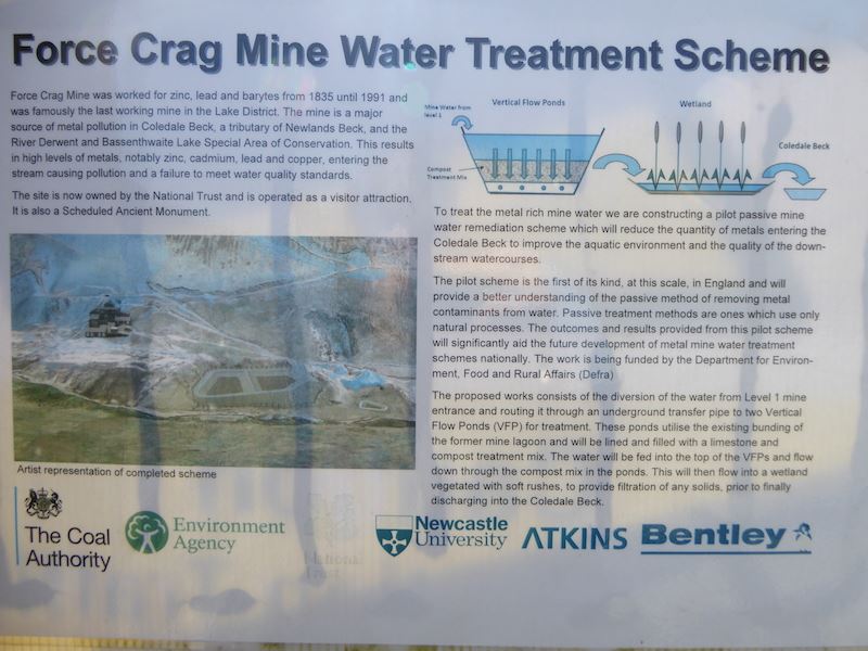
Now you know all about filter pools …..
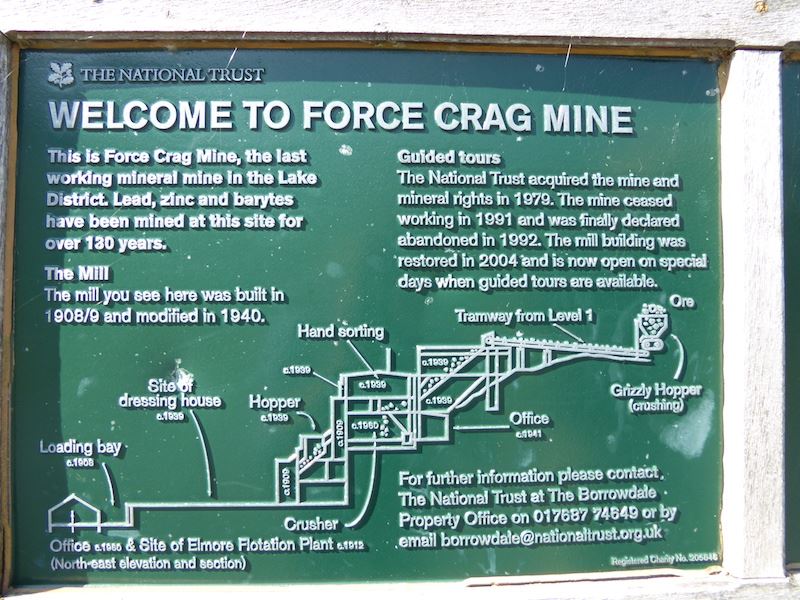
….. and Force Crag Mine …..
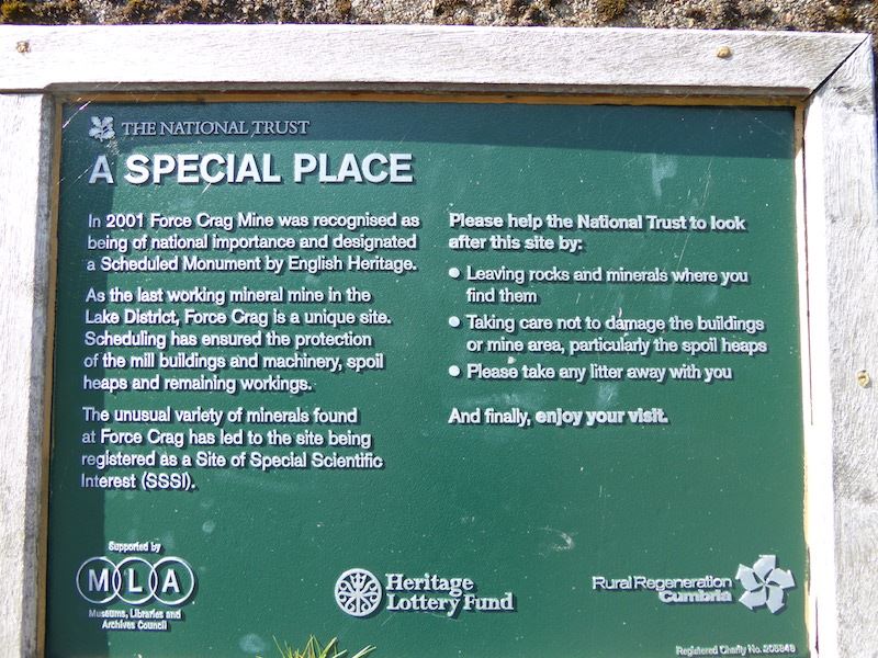
….. and what the National Trust has to say.
‘Education, Education, Education,’ as some politician once said, so bone up on it as there’ll be a test next week.
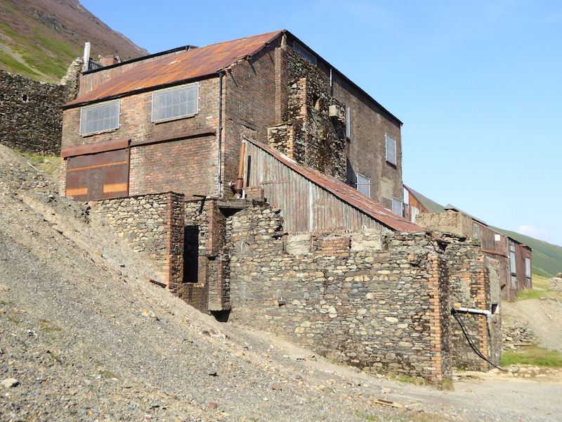
The old mine buildings.
After our visit to the mine and the geology/chemistry lesson we head back down the path to Braithwaite, with a view of Blencathra for company all the way down. An enjoyable and interesting walk but it would have been so much better without being battered by the wind all day.