Gray Crag and Thornthwaite Crag
Walk Date – 25th March 2016
Distance – 6.7 miles
Weather – sunny morning, very cloudy and windy afternoon
Poor weather was forecast for the Easter weekend, with today, Good Friday, being the best day of the holiday weekend. With that in mind we went over to Hartsop for a walk up to Gray Crag and on to Thornthwaite Crag.
Route
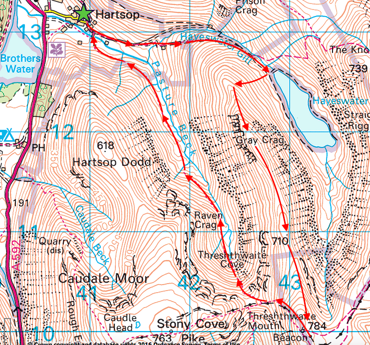
Its a brilliantly sunny morning and for the first time this year we set off in shirt sleeves as it is already quite a warm morning. This is the start of the path just a few yards from the car park at the top of the village.
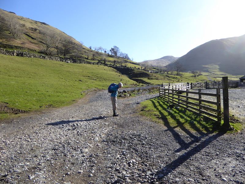
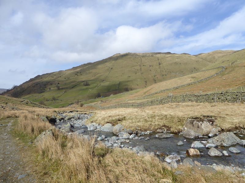
Just a short way from the village we have to cross Hayeswater Gill, the area around the bridge is looking a bit messy at the moment.
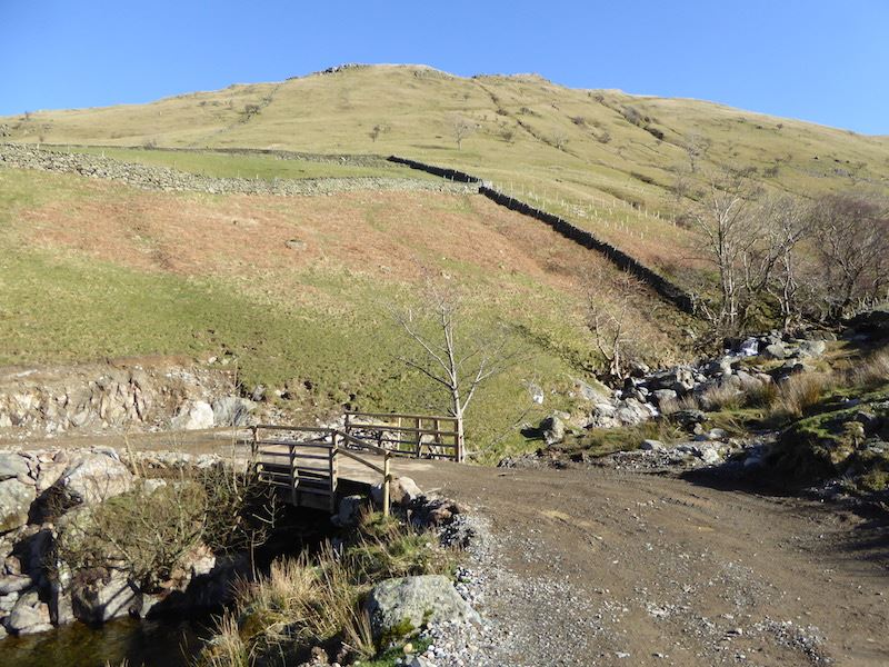
This is the reason for all the upheaval, the Hayeswater Hydropower Scheme.
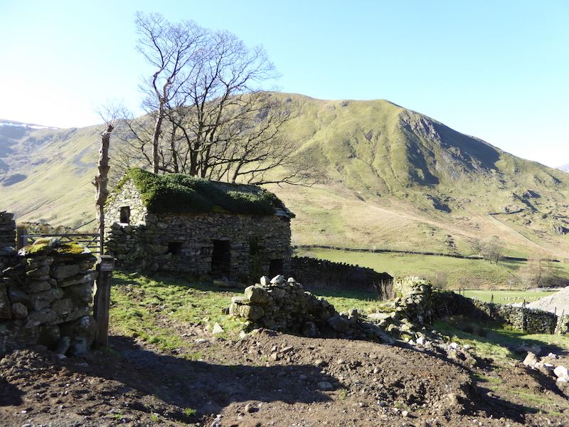
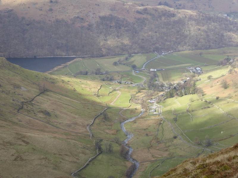
Despite the site traffic and general mess the old barn remains unaffected. Hartsop Dodd in full sun in the background.
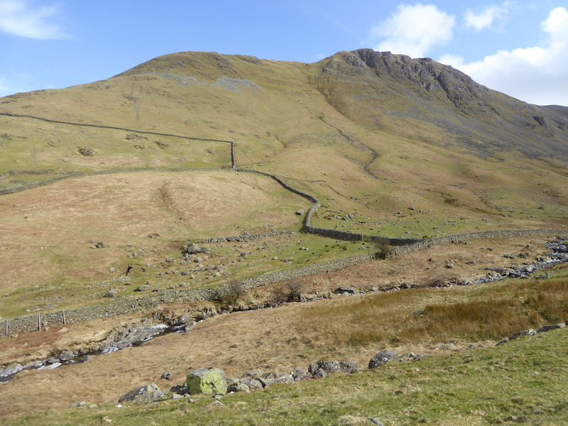
Looking back down the path, or should that be highway, now that it is much wider so the site traffic can move around. Below the wall on the left is the old barn with its greenery roof. The wall to the right looks as though it may have had some contact with one of the construction vehicles. On the left of the shot is Hartsop Dodd and on the right skyline is Saint Sunday Crag.
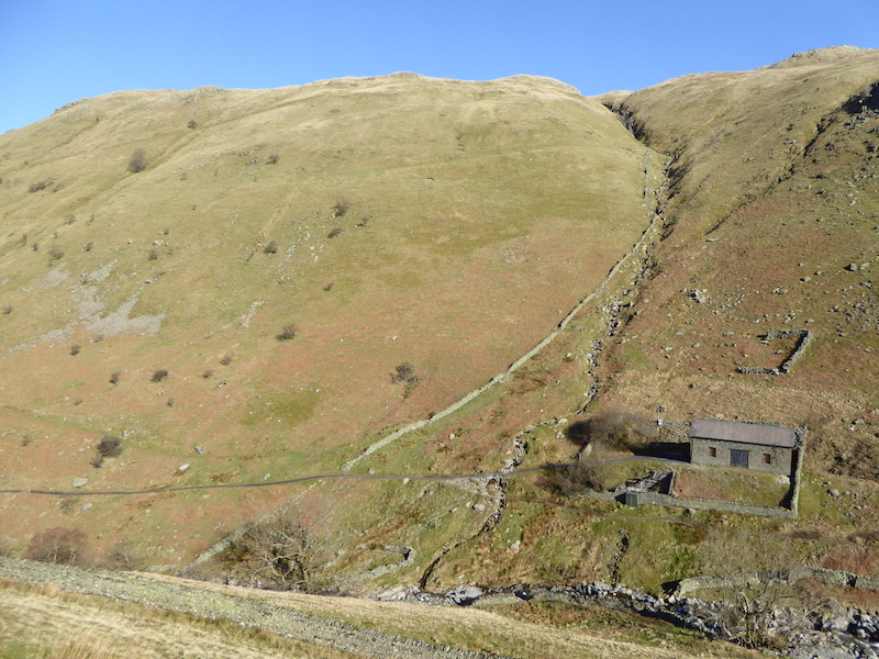
On the opposite side of the beck from us is the old filter house, with Brock Crags over to the left.
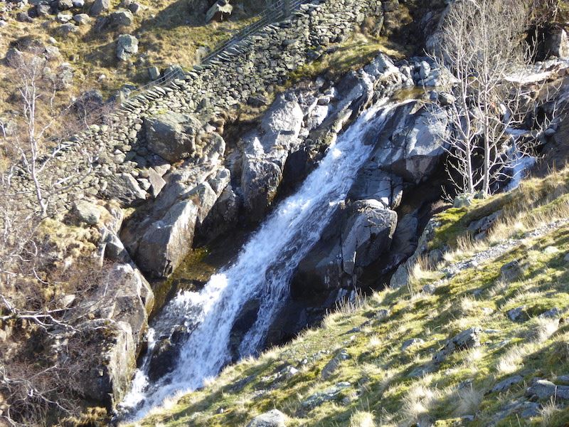
The beck drops quite dramatically is several places on its way down and creates a variety of water slides, cascades and waterfalls. Its quite steep sided so its difficult to get close enough to get a really good shot.
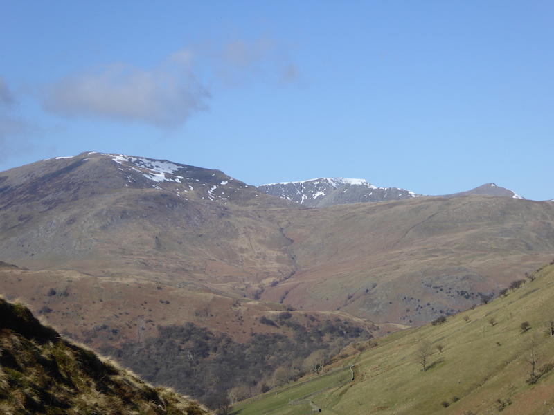
A look back from the path across to Saint Sunday Crag on the left, Helvellyn in the centre and Catstycam over to the right.
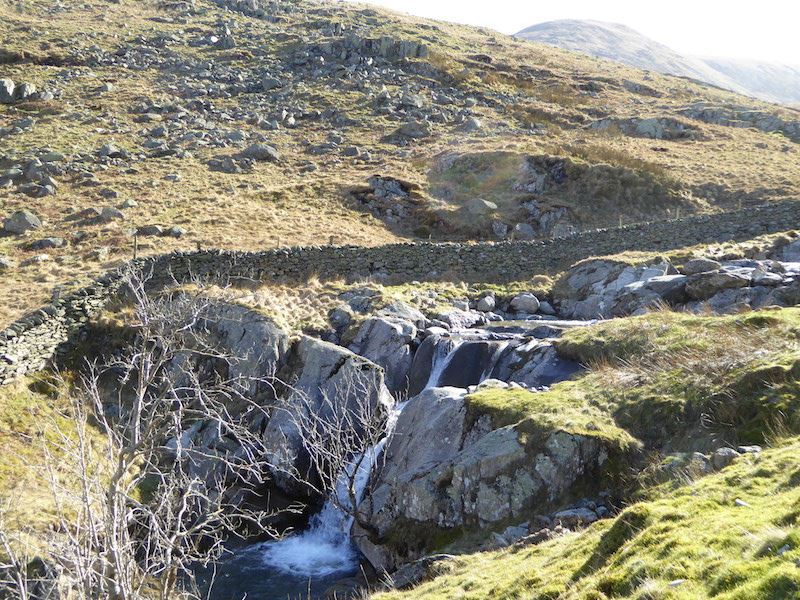
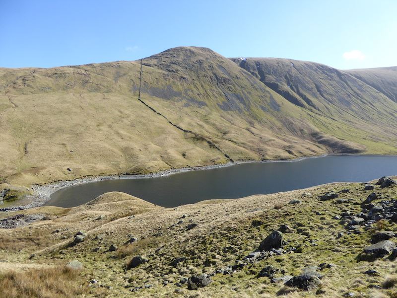
Cascades in Hayeswater Gill, with The Knott, above the fell side, just visible in the sun’s glare.
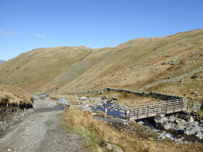
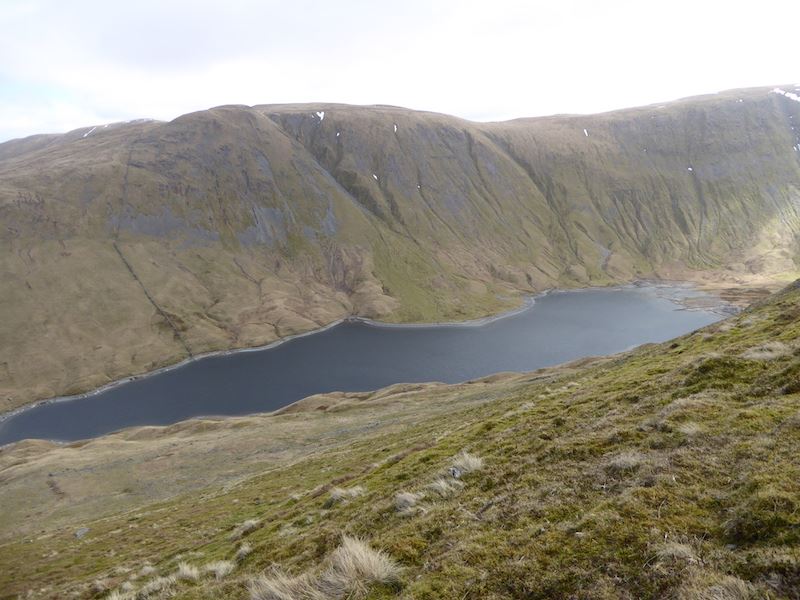
The footbridge provides the beck crossing now that the old dam across Hayeswater has been removed, and the path continues on up the slopes of The Knott. That’s not on our route today so we continue on the old path up towards Hayeswater.
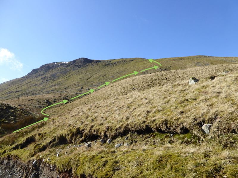
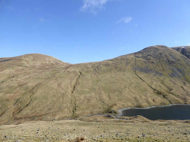
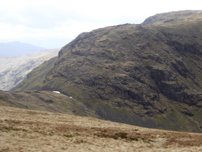
Looking up at the eastern side of Gray Crag from the Hayeswater outflow. The green arrows indicate, very roughly, the route we are planning to take up to the Gray Crag ridge. You can make the ascent directly up the front, or nose, of the fell but it is very, very steep so we opted for the shorter, and a little less steep, route along its flanks. There is no established path so its a case of picking the route you fancy and going for it.
A pause for breath gives me a chance to look back down to the outflow of Hayeswater, from where we started our ascent.
Ten minutes later and another ‘get your breath back’ stop. As you can see it is quite steep so progress isn’t rapid, but we have got quite a bit further up. On the left skyline is Rest Dodd and on the right is The Knott. Coming in at the bottom left of the shot is the path we would have been on if we had crossed the footbridge earlier.
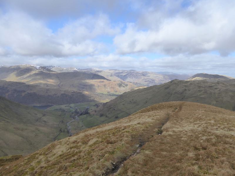
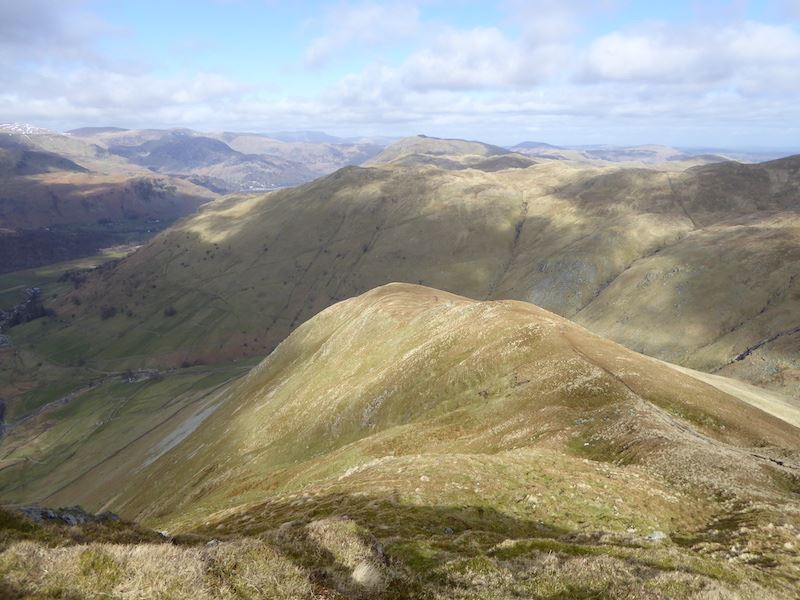
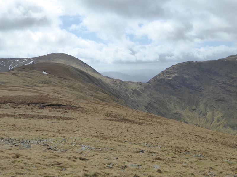
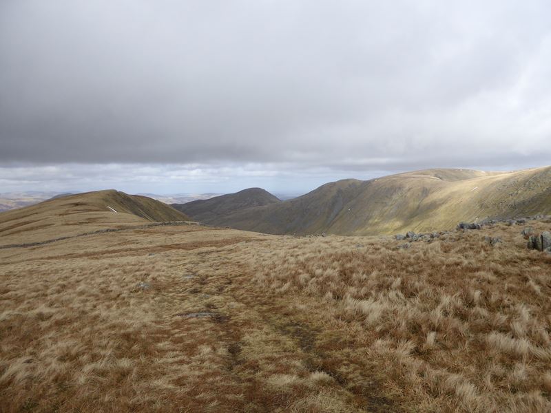
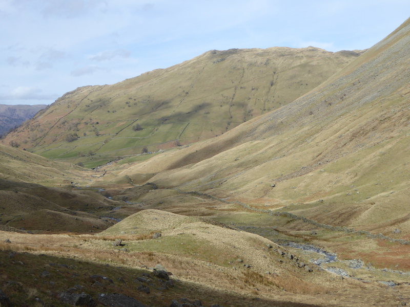
Twenty minutes later and we reach the lower section of Gray Crag ridge and a short stretch of level ground before the next part of the climb. This is the view to the north west, and just beyond the end of the ridge, Brock Crags and behind that Place Fell. Way down in the valley to the lower left is Hartsop where we started from.
Looking west across Hartsop Dodd from Gray Crag ridge.
A close up view down to Hartsop from the ridge.
The view down to Hayeswater from the lower section of the ridge.
We’re just about at the top of the last uphill section so I take this shot before it disappears from our view. We’re looking back along the lower section of the ridge at the Hartsop end of Gray Crag. You can probably work out just how steep the front, or nose, end of Gray Crag really is from this shot.
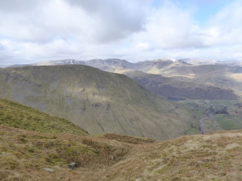
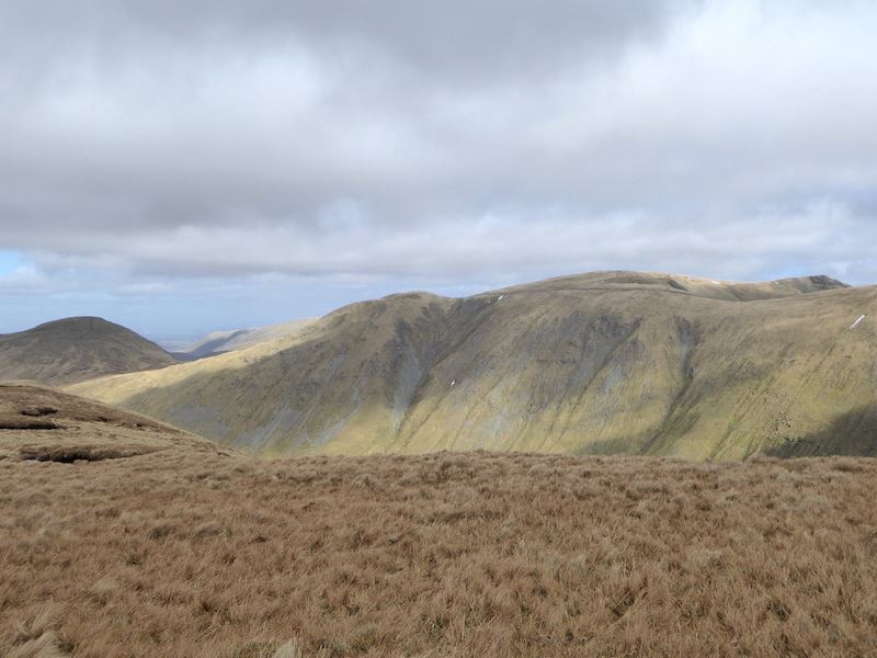
The view over Hartsop Dodd with, from left to right, Dove Crag, Hart Crag and Fairfield on the skyline.
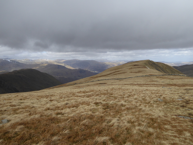
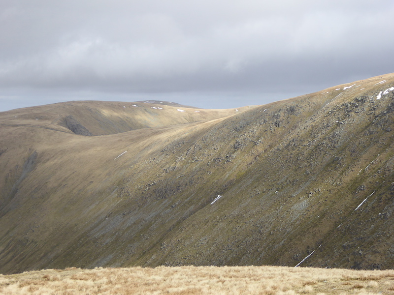
The view ahead along Gray Crag with Thornthwaite Crag behind it. The weather, coming in from the south west, is taking a turn for the worse and the wind was extremely strong and cold all the way along the ridge.
A look back along Gray Crag, with Rest Dodd just peeping up behind it. I didn’t take any summit photos, it was hard enough to stand upright never mind pose for a photo. I only took this one as we had a little bit of shelter at this point.
Across from us are Kidsty Pike and HIgh Raise, above the wall on the extreme right, The Knott, with a patch of sunshine on its lower slopes, to the left of the wall, and Rest Dodd, in shadow, over on the extreme left.
Dark cloud cover and very strong winds across Gray Crag. The strength of the wind demonstrated by the trousers.
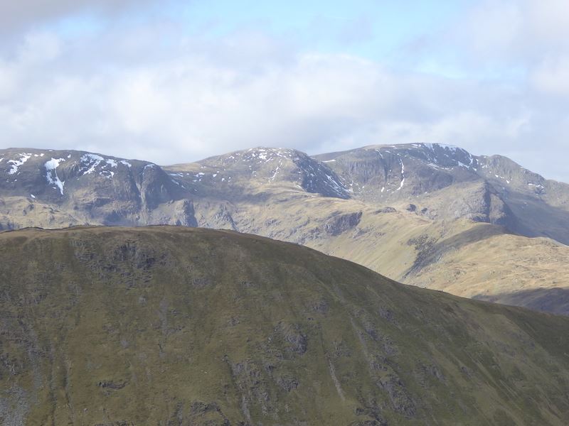
Threshthwaite Mouth (with the snow patch) and Threshthwaite Crag.
Looking to the north east back along Gray Crag as we begin the climb up to Thornthwaite Crag.
Looking north west from the same place. The cloud has really thickened up above us now, its very chilly and the good weather has been pushed into the distance.
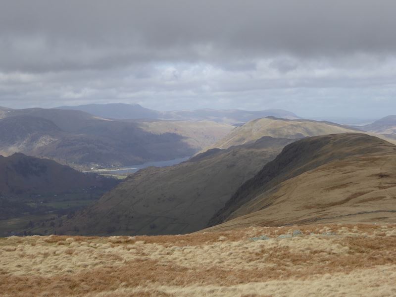
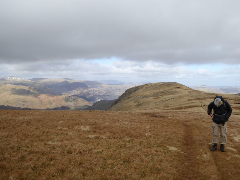
A look back towards Glenridding and Ullswater from the climb to Thornthwaite Crag. This isn’t an excessively steep climb but with the wind blowing very strongly and directly at you it was hard going.
HIgh Raise just peeping up above Rampsgill Head in the centre of the shot.
![]()
Thornthwaite Beacon comes into view at last as we approach the summit.
![]()
The view over to High Street from the beacon. The pre-planned route from this point was to walk over to High Street and return to Hartsop via The Knott and Brock Crags, but all that was to change.
Even the beacon failed to provide much in the way of shelter and it is now very windy and even chillier up here. The trousers are still doing a good job of demonstrating the wind strength.
![]()
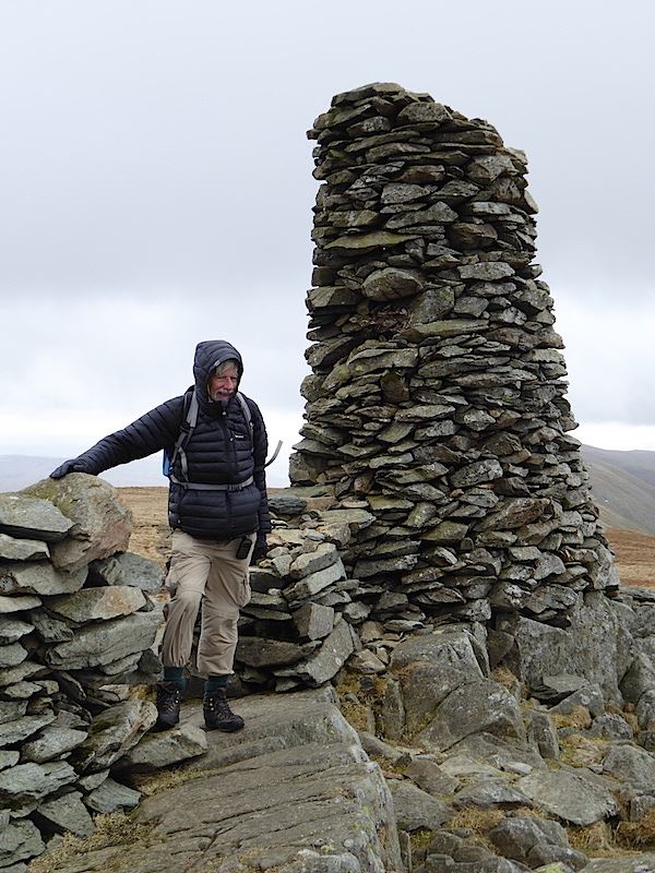
It may be a cold and windy summit at the moment but there’s no denying that the beacon is a very imposing structure, its visible for miles around. Photos taken we then huddled behind the wall, along with everyone else who arrived, and had some lunch while we considered our options from this point. As we were having lunch a bank of very low cloud came across and High Street disappeared from view. Looking in the direction from which it came we could see that there was no break anywhere in the cloud, so that more or less decided us that we would return to Hartsop by an alternative route.
![]()
After lunch we leave the beacon and begin making our way down to Threshthwaite Mouth. From there we will take the path down into Threshthwaite Cove and down the valley route back into Hartsop.
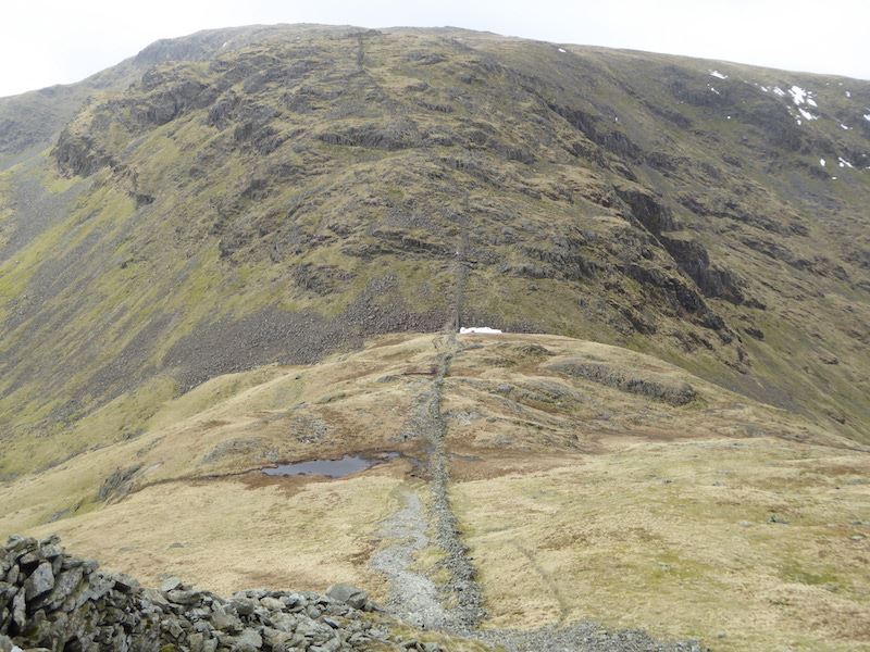
Looking down to Threshthwaite Mouth. There is a path on either side of the wall, we chose this side as it is marginally less loose than the one on the other side. Its a steep route down and we are aiming for that patch of snow where we will take the path down to the right. The path to the left goes down into Troutbeck. On the crags opposite you can follow a path alongside the wall and that will lead you up to Stony Cove Pike, the summit of Caudale Moor. Its not as fearsome as it might look.
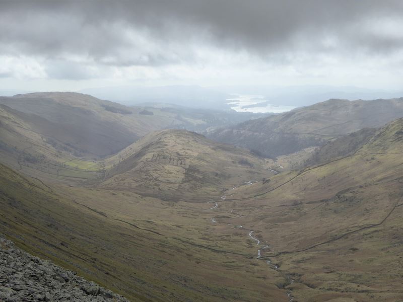
Grey and gloomy skies over Troutbeck and Windermere to our left as we make our way down to Threshthwaite Mouth. The wind was still blowing strongly and no way of sheltering from it on the way down. Just when you are wanting to descend quickly to get out of the battering wind, you can’t because the path is loose and slippy, and with the wind trying to blow you back down to Hartsop in one fell swoop you have to be even more careful.
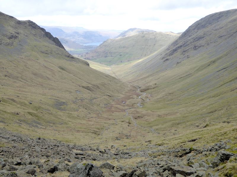
After what seemed like forever we made it down safely to Threshthwaite Mouth, from where I took this shot looking down into Threshthwaite Cove. The path from here runs all the way back to Hartsop and, mercifully, after walking down just a few paces the fell side behind us provided the cover we needed and the wind battering stopped. This was quite a busy route today, although with more walkers going down than coming up. We mentioned the strength of the wind to all those we met although I’m sure we didn’t need to, one look at our hair would have told them all they needed to know.
A look back up to Threshthwaite Cove now that we’re finished with the steepest part of the descent and I can stand up straight again.
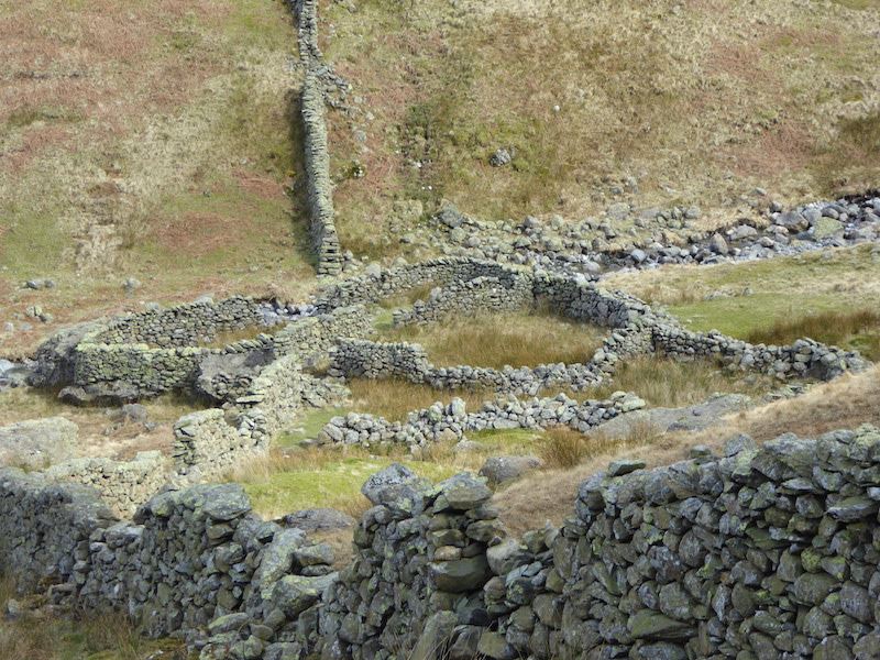
A close up of a more intricate than usual sheepfold alongside Pasture Beck. As its by the beck I wondered if it was also used as a washfold.
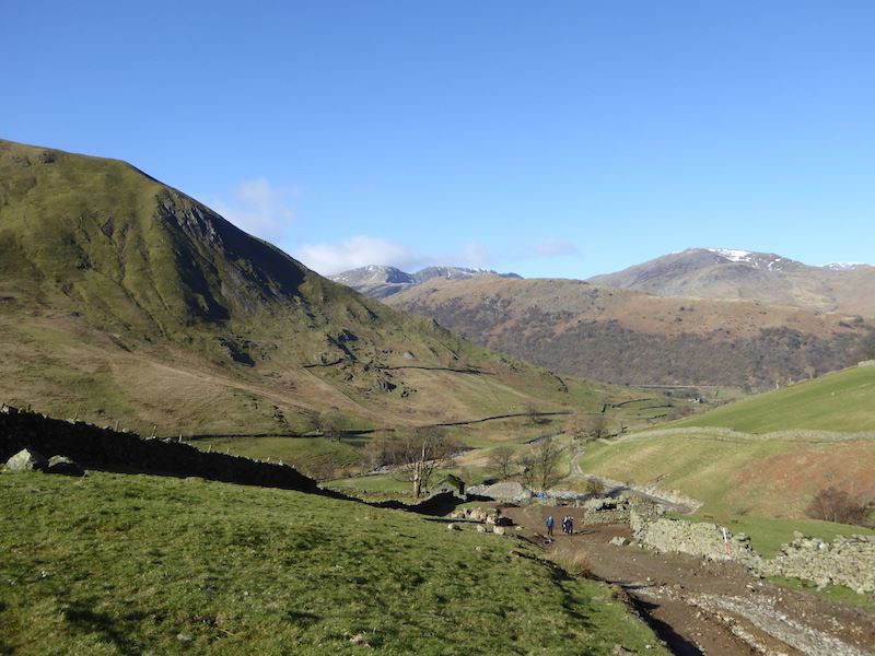
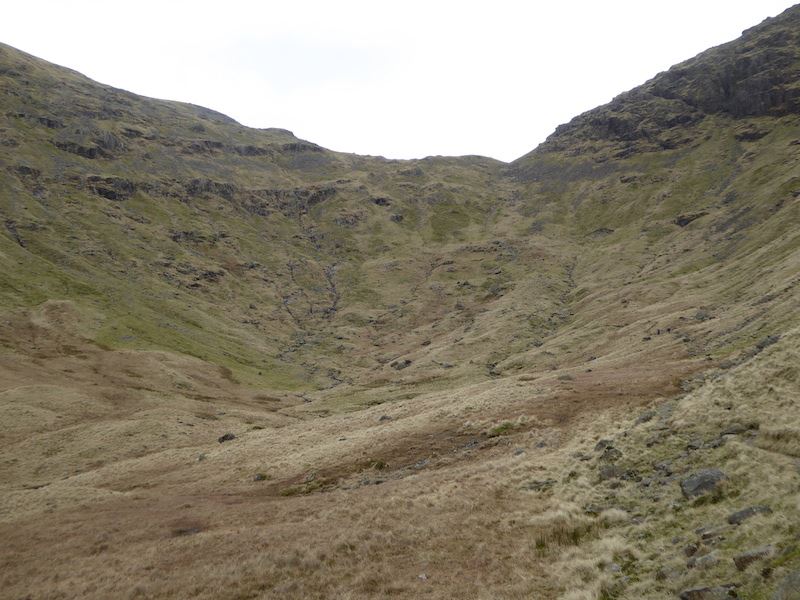
A view down Pasture Bottom (yes it really is called that) with Brock Crags on the skyline.
Walking down Pasture Bottom alongside Pasture Beck. The grey and gloomy clouds haven’t quite reached here yet.
Pasture Bottom below the western slopes of Gray Crag. When we climbed up from the other side earlier on we reached the lower ridge at a point just about where it starts rising again over the large, craggy area on the right.
Back down in Hartsop with a view of Arnison Crag over on the right skyline.
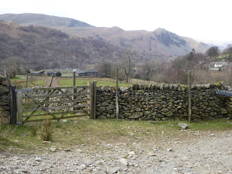
Just slightly to the right of the previous photo is another gate with Hartsop village car park just beyond it.
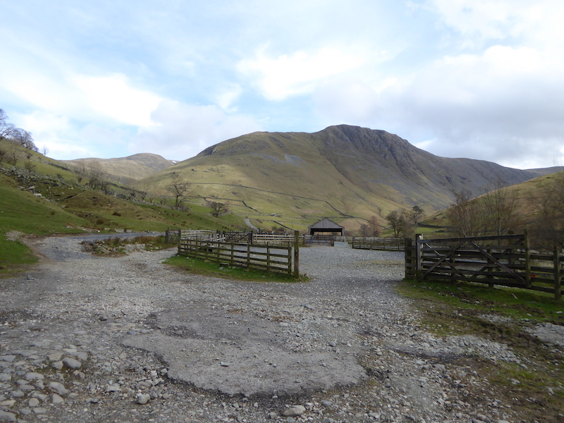
Finally, from the car park gate a view, over the sheep pens, of Gray Crag, which is looking a little sombre now that the cloud has reached all the way down the valley. You would hardly think it was the same day, given the lovely weather we had at the start, but that’s how things turn out sometimes and as long as you’re prepared it needn’t spoil things too much.