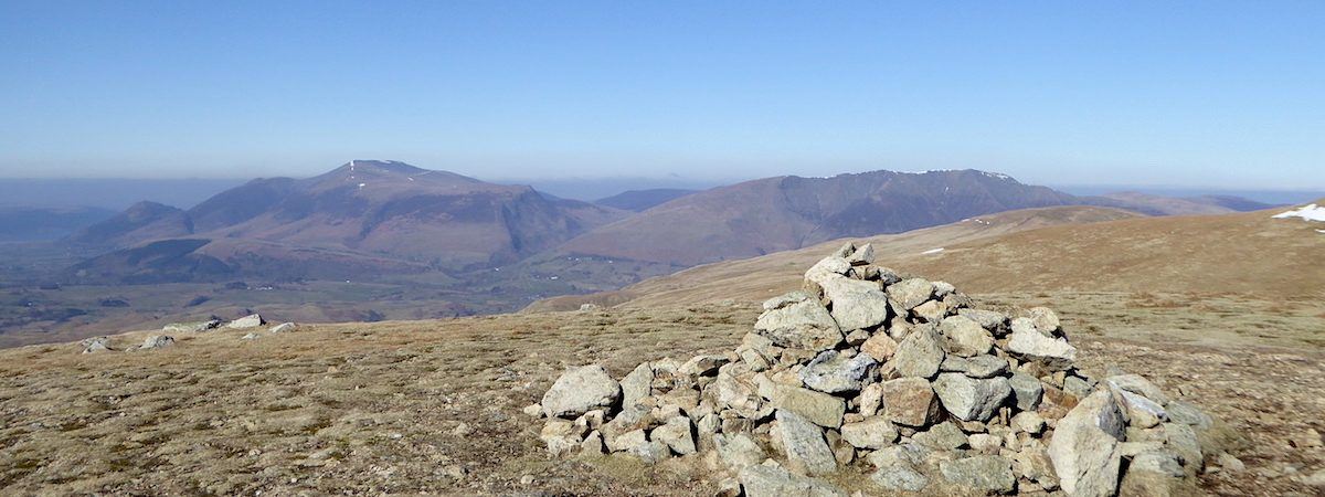
Stybarrow Dodd, Watson’s Dodd and Hart Side
Walk Date – 17th March 2016
Distance – 9.9 miles
Weather – very warm with blue sky and sunshine all day
Route
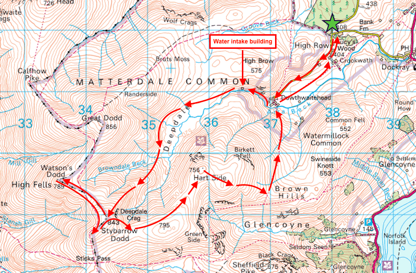
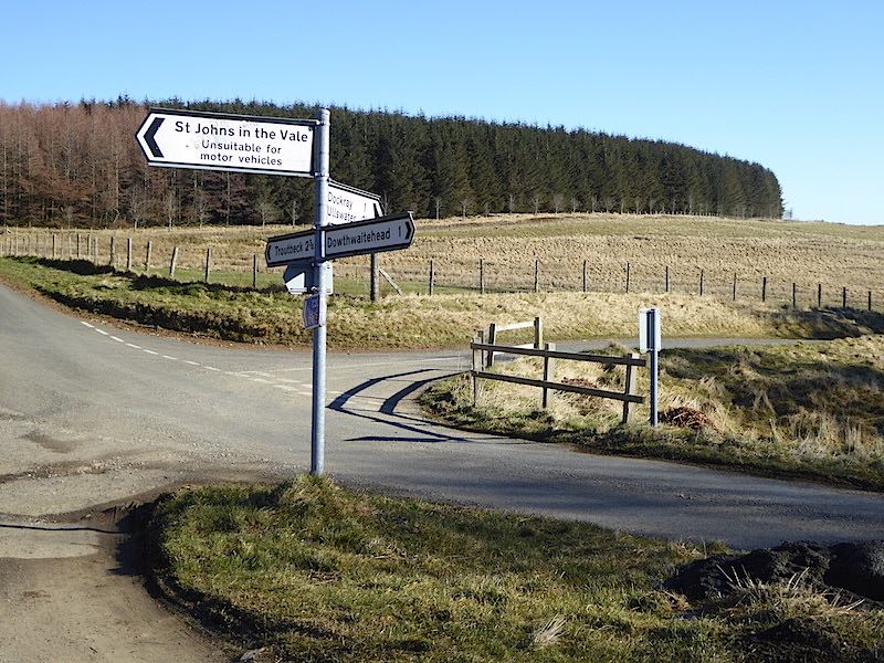
The fine dry weather continues and we have a free day, so here we are parked up at High Row near Dockray on a really lovely morning. There isn’t a cloud to be seen and the sunlight is so bright it is casting very strong shadows everywhere. Within seconds of putting them on my sunglasses had turned as dark as it was possible for them to go and I could see barely a thing through them, so I gave up and made do with lots of eye squinting for the rest of the day. This is as near to the start of the footpath as we can get so we have one mile of road walking along to Dowthwaite Head before we can really get going properly.

The January born triplets checking out the latest arrivals as they are brought into the fields for the first time.
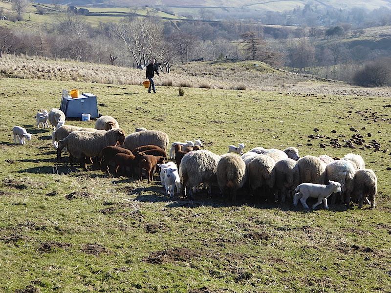
Heads down and tucking in now that the farmer’s Dutch helper has filled the troughs with sheep treats. The farmer stayed on board his quad bike and shouted instructions to the helper down in the field, in between chatting to us and telling us all about the different types of sheep he had, when the lambs were born, and that we’d see lots of others as we walked along to the farm at the head of the lane. Apparently his Dutch helper used to come over and help out when he was in his teens but has a wife and family now so he hadn’t been able to visit for a few years. He seemed to be enjoying it though despite all the shouted instructions from the farmer .
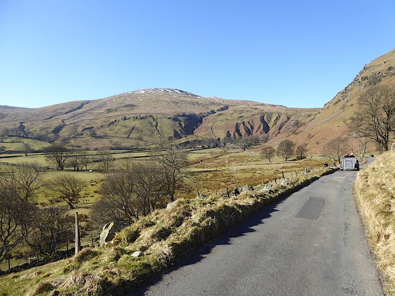
There they go, off to the next field. We caught up with them again checking on a lamb, only just born a few minutes earlier, and its mother. The ewe seemed to be concentrating on producing another lamb so the helper had to run down and check on the first born lamb. Its head was up and it was breathing so all was well.
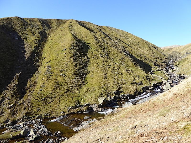
When we reached the farm the farmer asked us where we were heading for and when we told him Deepdale he screwed up his face and said it was an awful wet place and what did we want to go there for. He probably thought we were mad for wanting to go there but he was helpful enough to point out where the footpath started. It would have been difficult to locate it without his help as it required threading a way through the farmyard, through a gate and then following a faint path out onto the open fell alongside Rush Gill. He waved us off and said he was off for his breakfast. So here we are looking down at some of the waterslides in Rush Gill from an old footpath just above it. This is somewhere we haven’t walked before and the gill was a pleasant and very pretty surprise.
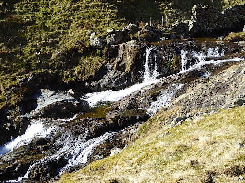
More waterfalls in Rush Gill and there were many others, all slightly different in appearance, all the way along. On such a lovely morning it was really nice to be walking along here.
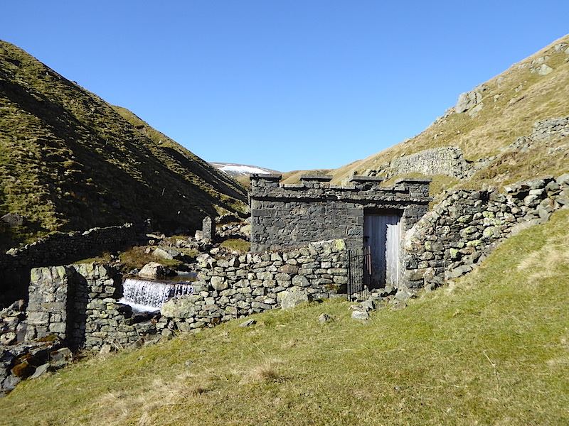
A little further along and we came across this, which I think is an old water intake building. I don’t know if it still in use though, the door was padlocked but the window at the back had no glass in it so it is open to the elements.
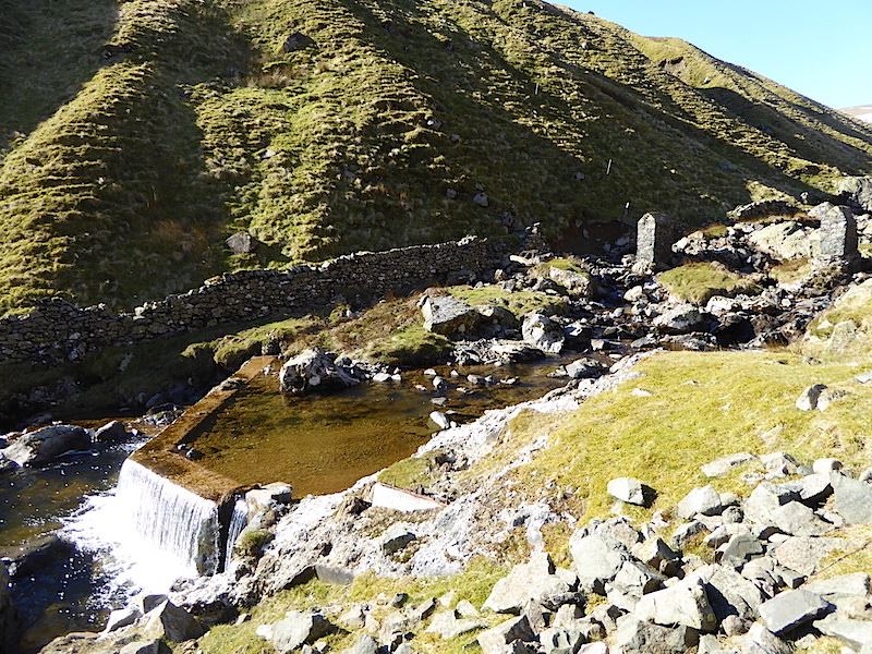
I scrambled over the rocks to the rear of the building and took this shot of the weir in the gill. I wanted to have a look in through the glassless window but the steepness of the slope and the looseness of the rocks underneath it made it too difficult to get a firm foothold so I have no idea what is inside the building.
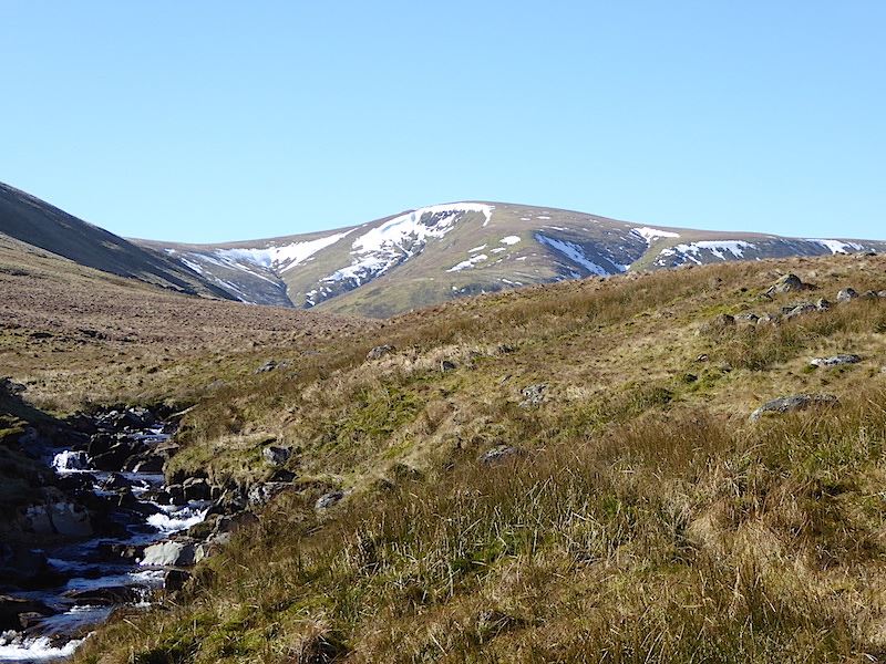
The path eventually comes out at Dowthwaite Head Moss, ‘the awful, wet place’ as described to us earlier by the farmer. Here we get our first view of Stybarrow Dodd, in the centre, still clinging on to a few patches of snow.
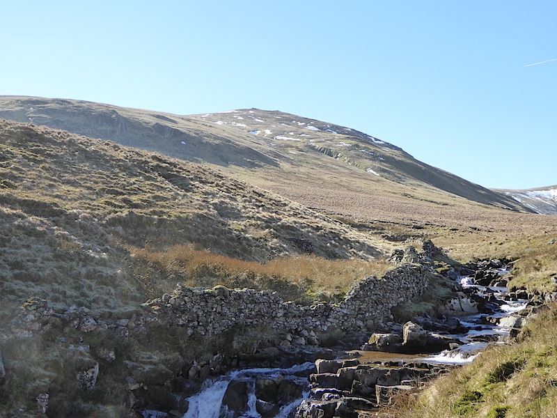
Over on the left we have a view of Hart Side which will be the last fell we will visit on our walk today.
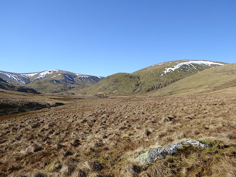
We’ve climbed out of the gill and we’re looking into the head of Deepdale. The farmer may not be too keen on this place but on a day like today you can appreciate its wild beauty. Yes, of course its wet, its very flat so all the water running off the fells collects in it and some of it will eventually drain into the gill. There isn’t a clear footpath but sheep trods can be followed from time to time, and keeping to the lower edges of the surrounding slopes helps to avoid the worst of the wetness. Given the amount of rain we had over the winter months I was surprised that the whole place wasn’t actually under water.
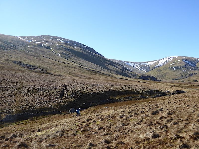
On the left is Hart Side and to the right is Stybarrow Dodd, where we will be walking straight up the grassy area known as Middle Tongue.
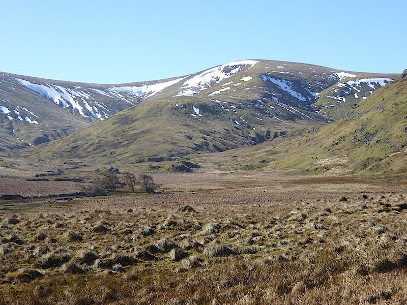
Skirting round Dowthwaite Head Moss, there’s no-one around and we don’t expect to see anyone either until we are on Stybarrow Dodd summit. This will never be a well trodden route because of its wetness.
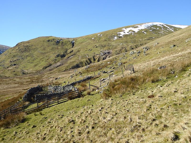
Dry ground under our feet as we approach Randerside Fold. The fell with snow behind it is Great Dodd with Lurge Crag down at the end of it.
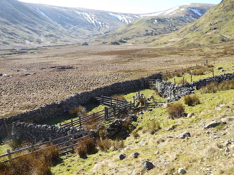
The view down to the sheepfold as we pass above it.
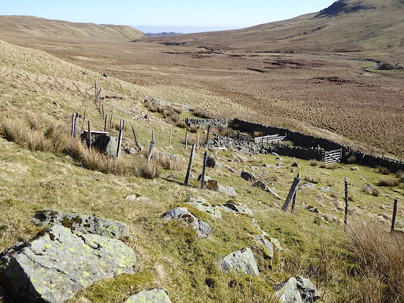
As there was some good seating available we decided that this would be a good place for a short refreshment stop. We have a view of the sheepfold, practically the whole of Deepdale Moss, and even Gowbarrow, the dark lumpy fell just visible above the v shape on the skyline. Not a breath of wind and a lovely little sun trap for a ten minute break.
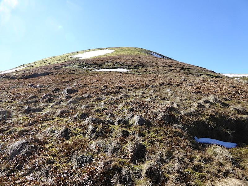
After our break we continued on, crossed Browndale Beck and commenced the steep climb up Middle Tongue. Slow progress up here, hot sun, wet tussocky grass and not much of a view in front of us.
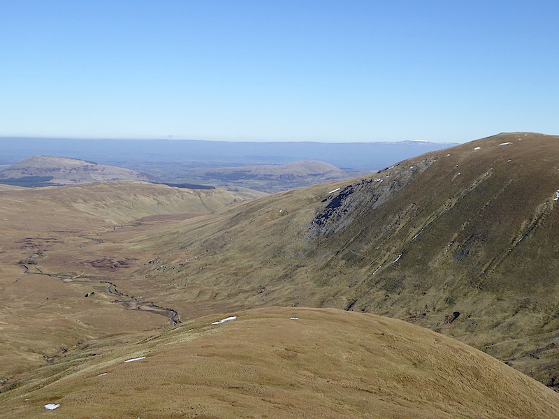
Frequent stops were required on the way up here, to get your breath back, to give the calf muscles a chance to rest, have a drink, take a photo or admire the view. The two isolated humps are Great Mell Fell, to the left, and Little Mell Fell in the centre. Hart Side is over on the right and just behind it is the snow capped Cross Fell over on the northern Pennines.
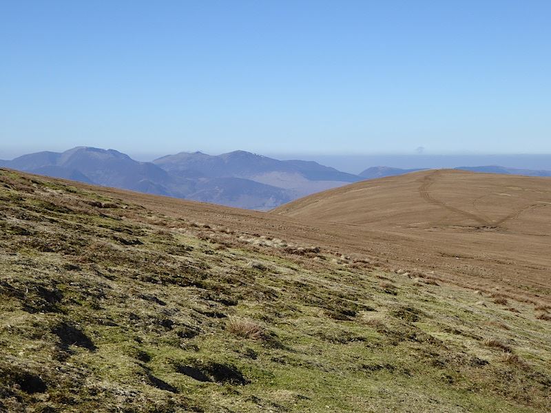
Over to the right the path to Watson’s Dodd appears with some of the north western fells to the left of it. We are still going uphill though as we haven’t reached the top of Stybarrow Dodd just yet.
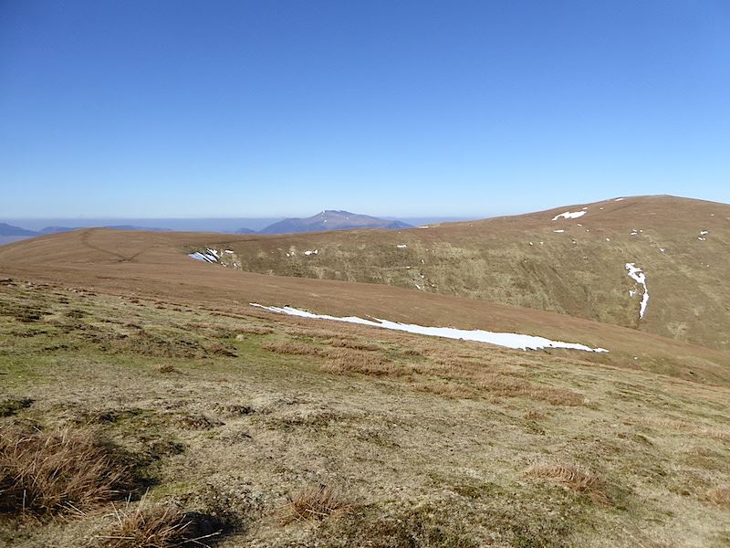
The ground eventually flattens out onto the summit area, the legs give a sigh of relief and we have a view over towards Watson’s Dodd to the left with Great Dodd to the right. In between the two is Skiddaw.
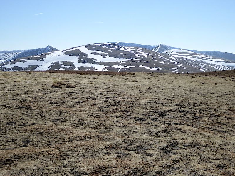
The bliss of flat ground once more and a view of Catstycam, on the left, Raise in the middle, with the plateau of Helvellyn just behind it.
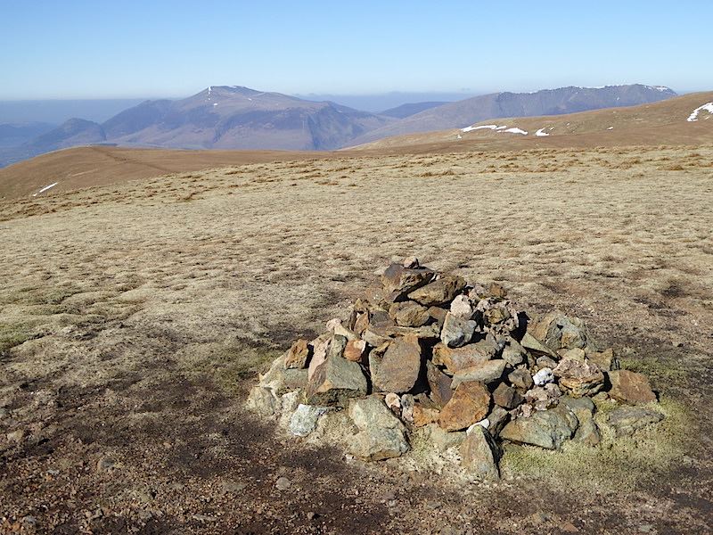
Stybarrow Dodd summit with Skiddaw on the left and Blencathra on the right. From here we took the path over on the left to Watson’s Dodd and a stop for something to eat.
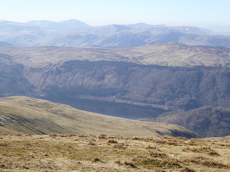
A section of Thirlmere below us as we begin to walk over to Watson’s Dodd.
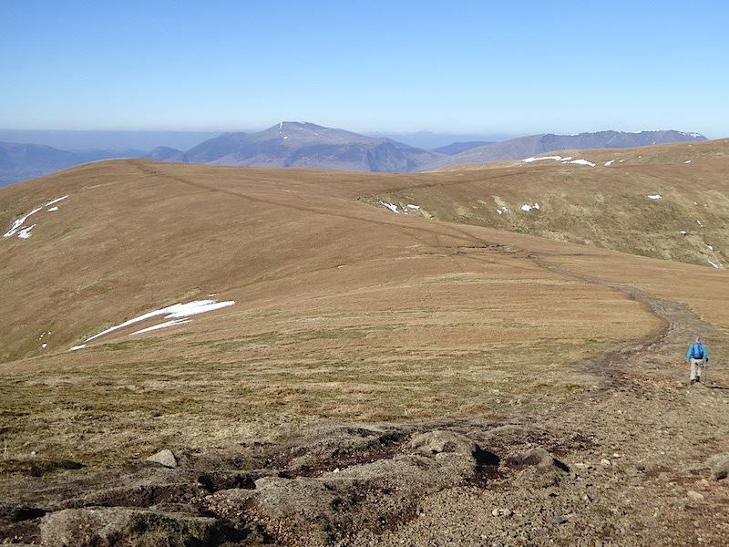
Making our way over to Watson’s Dodd. Very little chance of losing the path here, its so well trodden as you can see.
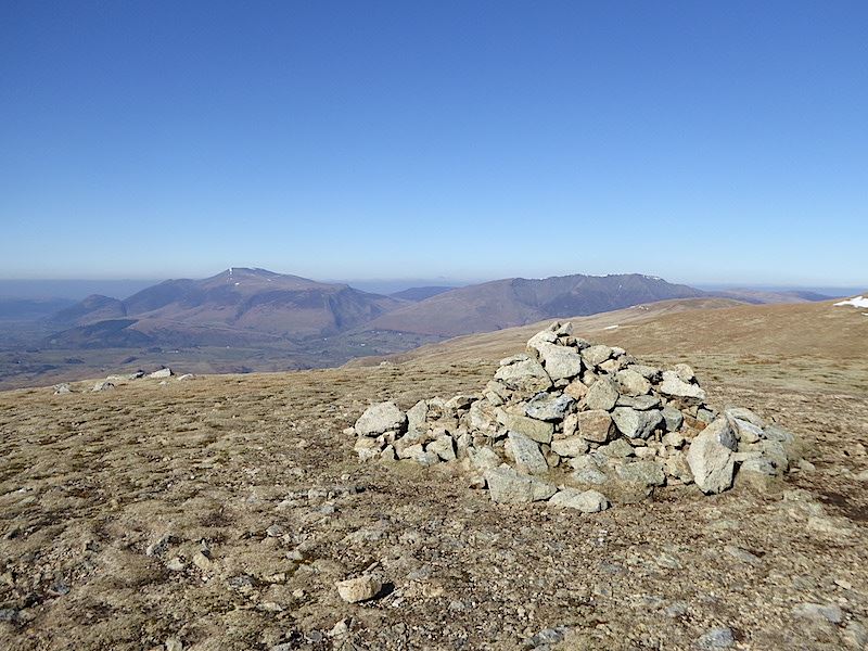
Thirteen minutes later and we arrive at Watson’s Dodd summit with Skiddaw and Blencathra dominating the northern fells. The Watson whose name this fell commemorates seems to be unknown.
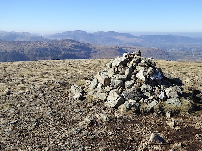
Looking towards the north western fells across Bleaberry Fell.
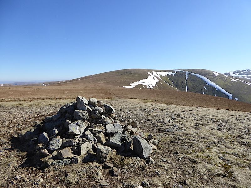
From Watson’s Dodd a look back at Stybarrow Dodd.
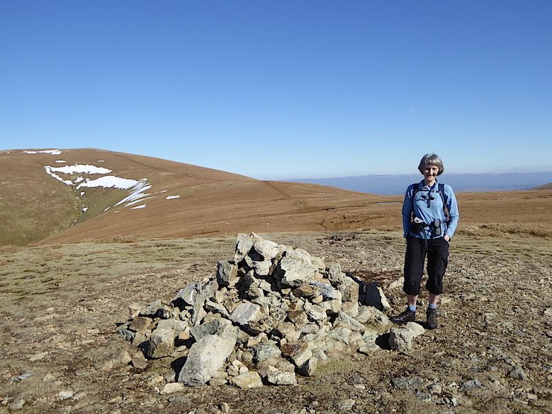
Great Dodd from Watson’s Dodd. The summer weight trousers have come out of their winter hibernation and it was warm enough to have unzipped the bottoms and worn them as shorts but I just couldn’t be bothered with the faff of doing it so I rolled them up instead.
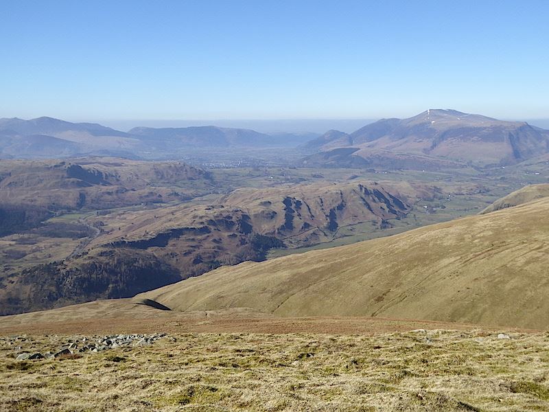
We found a sunny little hollow on the west side of Watson’s Dodd and got the lunch boxes out. The view is looking over High Rigg, the rather crumpled fell going across the middle, with the Skiddaw group over to the right.
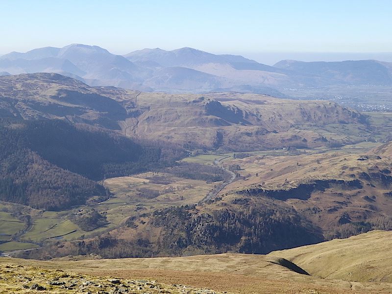
There was a lot of haze around today so there’s not much detail on the long distance views. Down below is the A591 snaking over to Keswick, its now partially open for a bus service to operate between Keswick and Grasmere, and also for walkers and cyclists to use. It is still closed to all other traffic as the road still isn’t fully repaired after it was washed away during Storm Desmond on 5/6 December 2015.
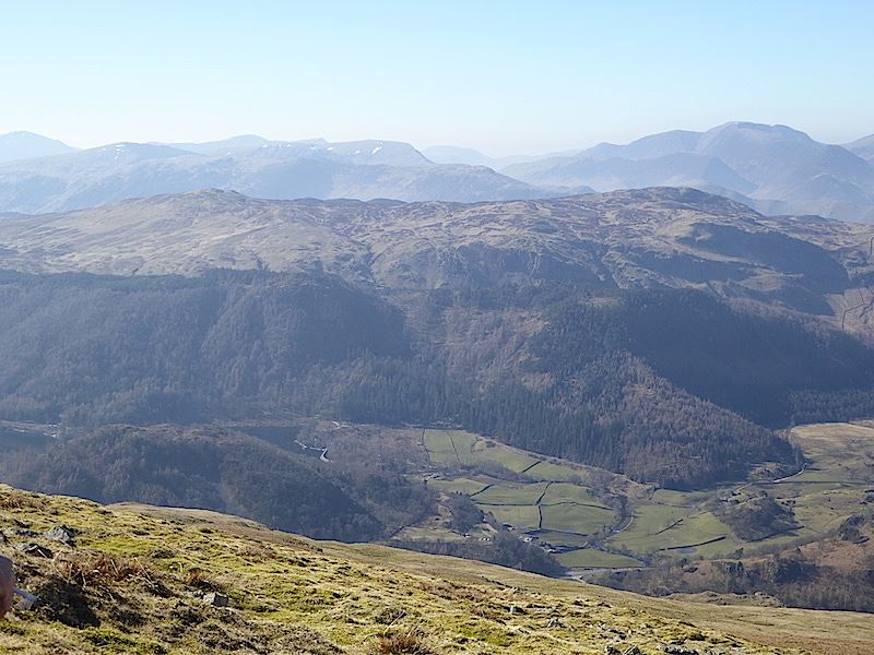
In the middle foreground are High Seat, on the left, and Bleaberry Fell on the right.
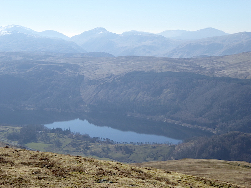
A view of Thirlmere and the fells to the west from our lunch spot.
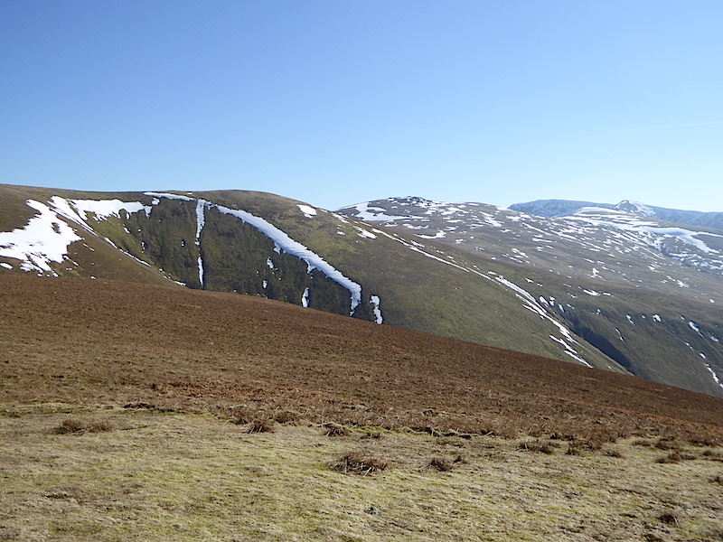
After spending a very pleasant half hour having lunch, and generally doing nothing but taking in the views, we began making our way back to Stybarrow Dodd.
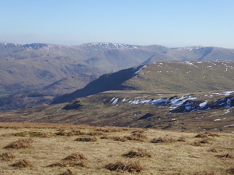
Back on Stybarrow Dodd and looking over to the eastern fells with the flat top of High Street in the centre.
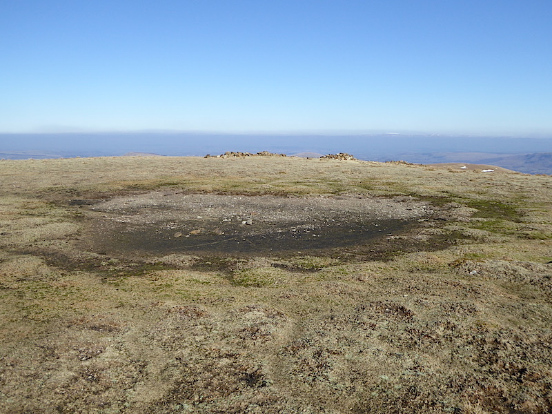
I wasn’t expecting to see a dried out Stybarrow Dodd tarn after all the rain we had over the winter.
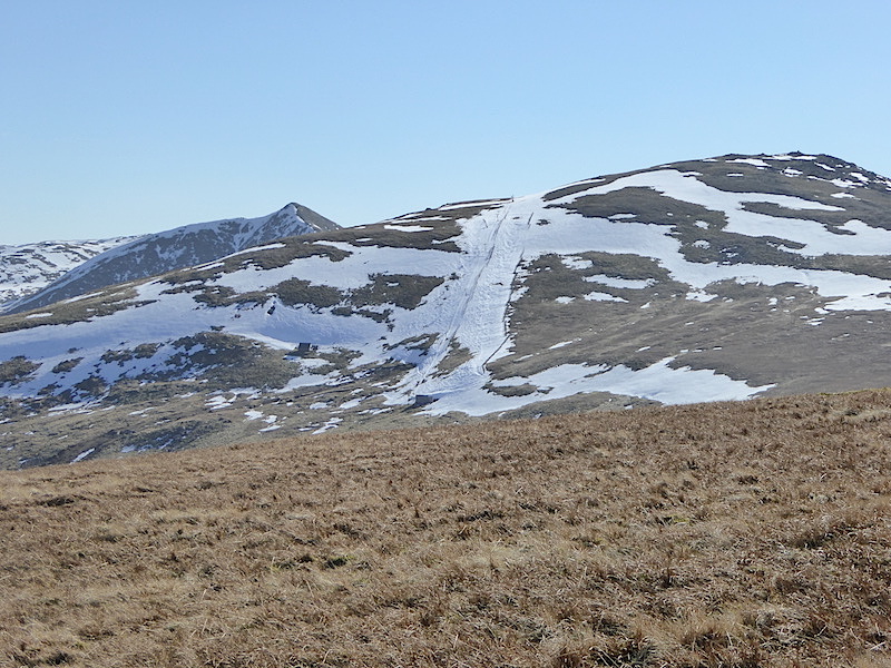
A close up of the ski run on the north side of Raise, we saw about half a dozen skiers using it today but if this weather keeps up the skis will have to go back into storage before much longer.
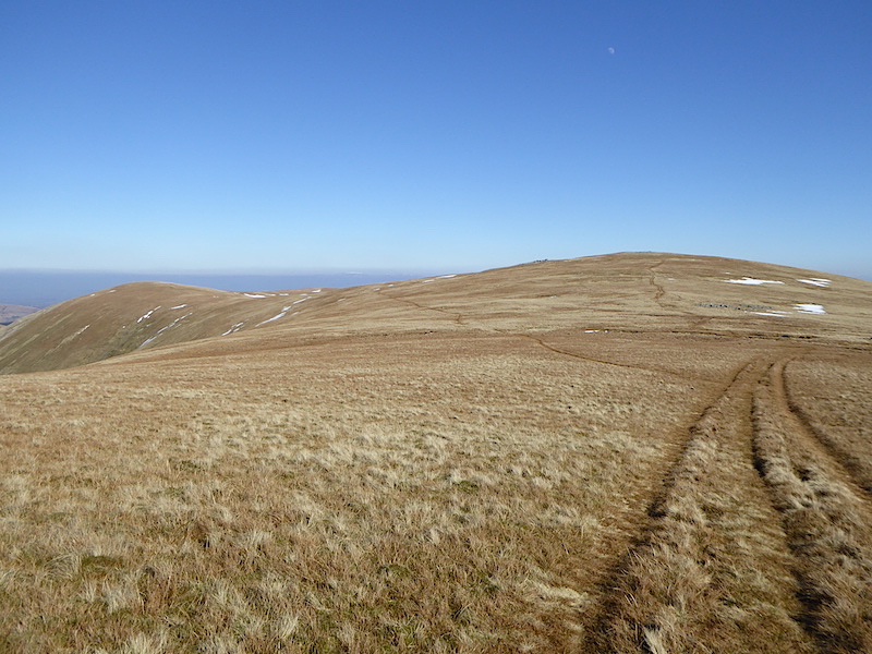
Tramping down from Stybarrow Dodd across open grassland, straight ahead is the summit of Green Side, while over to the left, and where we are heading, is the summit of Hart Side.
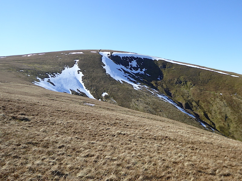
A look back at the eastern face of Stybarrow Dodd …..
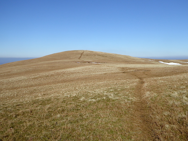
….. and a look ahead to the western side of Hart Side. Lovely easy walking and a treat for the calf muscles.
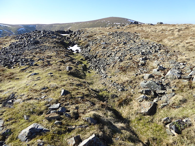
On Hart Side is this strange groove or ditch which may possibly be an old prospecting trench. The old Greenside lead mine isn’t far away so perhaps the two things are connected in some way.
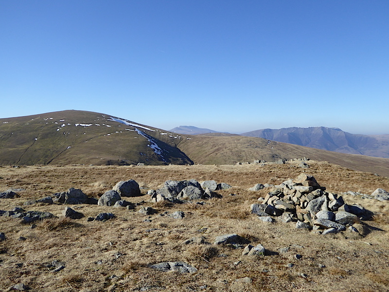
The rock strewn top of Hart Side looking towards Great Dodd, on the left, Skiddaw in the centre, and Blencathra on the right.
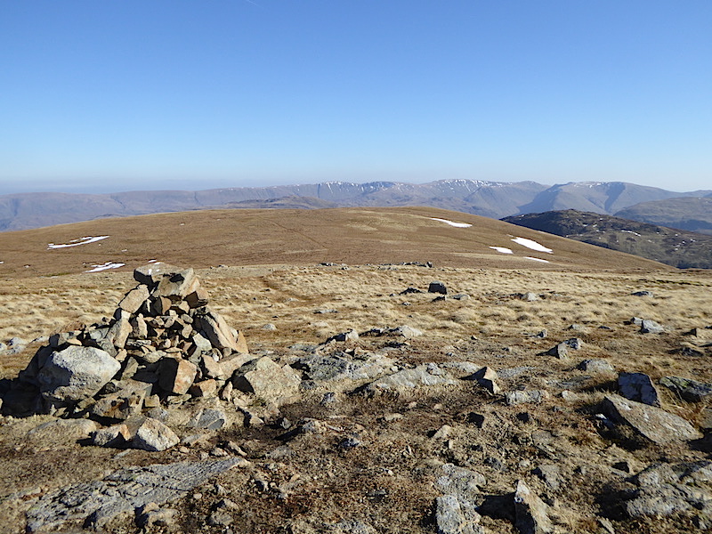
The view east from Hart Side and the path ahead which will take us back down to Dowthwaite Head.
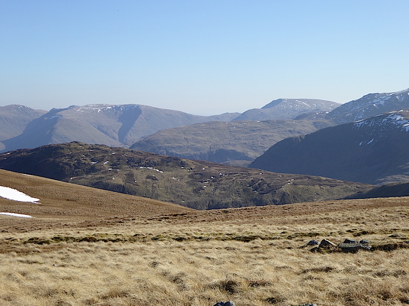
Sheffield Pike, the dark brownish fell, across the middle foreground with some of the eastern fells beyond it.
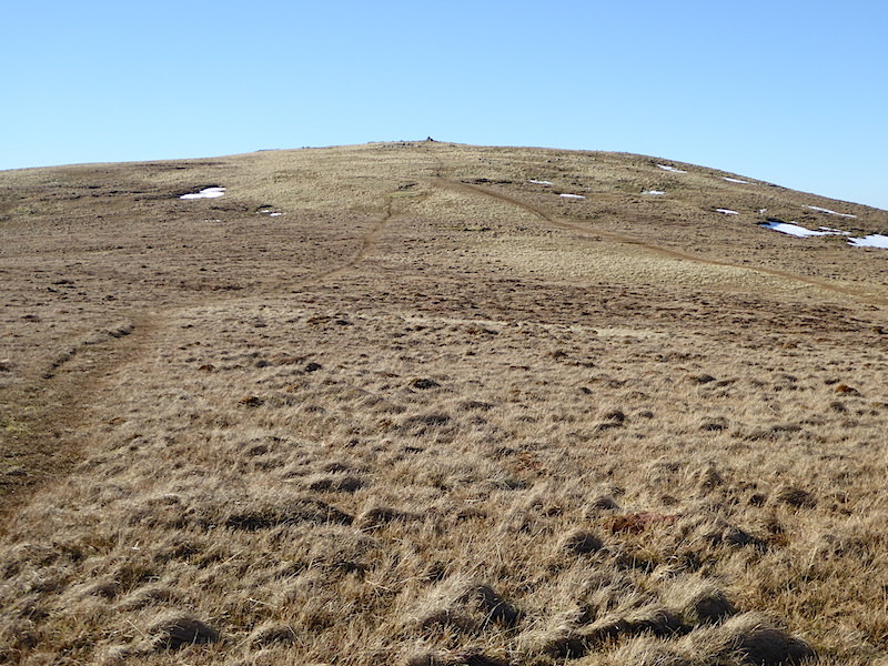
A look back at Hart Side, the path going to the right of the shot leads across to Birkett Fell.
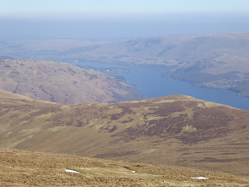
A view of Ullswater as we make our way down.
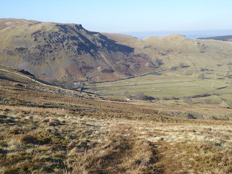
Looking down to the farm at Dowthwaite Head. Our return route will take us through the fields back to the car park.
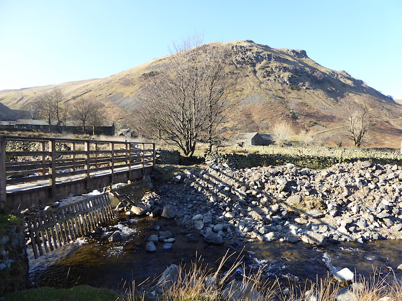
Dowthwaite Crag with the farm buildings below it.
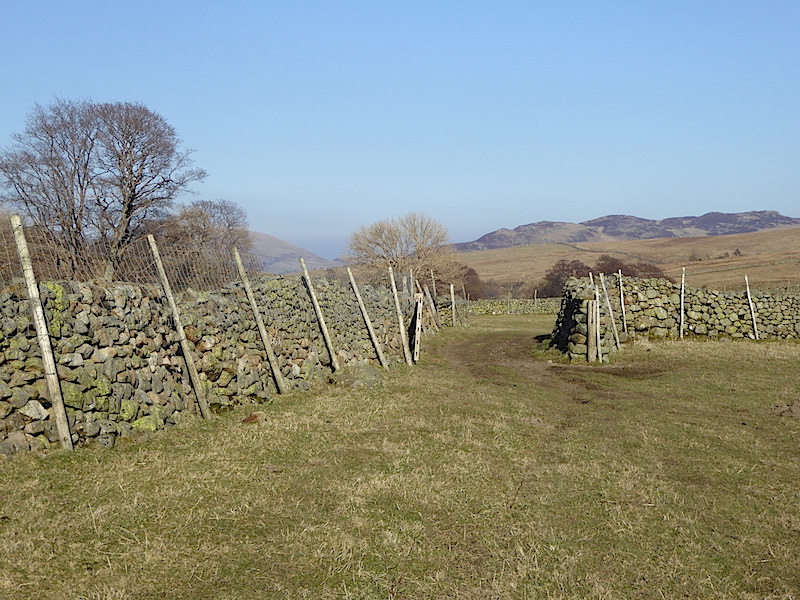
The return route through the fields to High Row with plenty of opportunities for cute lamb photos …..
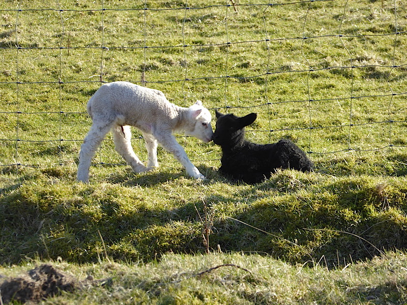
“Oh come on, stop being so sheepish, they’re only taking a photo.”
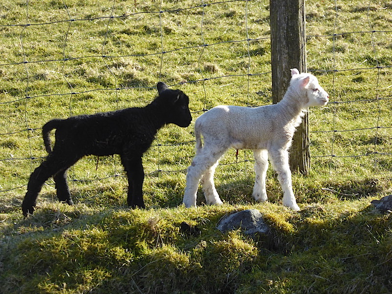
Just arrived, 100% pure wool jumpers – available in black or white.
