High Rigg and Low Rigg
Walk Date – 22nd February 2019
Distance – 7.8 miles
Weather – very warm and sunny, breezy
Last night the weather presenter on our local news programme informed us that we would all wake up to a “gin clear morning”. Hmm, we thought, she must have been drinking some very cloudy gin because when we looked out of the window the gin clear morning was nowhere to be seen with only grey and gloomy skies overhead. Not that it mattered as we had things to do during the morning so we weren’t planning on taking a walk anyway. However by late morning the dull skies were beginning to break up with hints of a milky blue sky attempting to take over. There being nothing urgent left to deal with with we had an early lunch, threw a few bits and pieces into a small pack and headed over to St John’s in the Vale for today’s walk over High and Low Rigg. We hadn’t been over High Rigg since 2014 so it was time we paid another visit and, as you get a lot of bang for not very many bucks, it makes for a good half day walk if, like us, you only have a morning or afternoon to spare. It may only be a small fell but it offers some big views and plenty of interest along the way.
Route
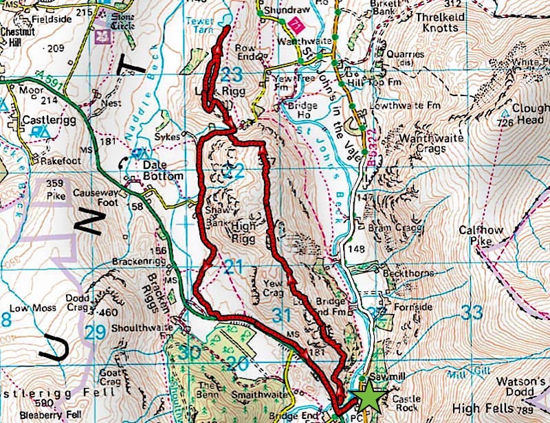
Legburthwaite – Wren Crag – Long Band – Moss Crag – Paper Moss – High Rigg – St John’s Youth Centre – Low Rigg – Tewet Tarn – Low Rigg – St John’s Youth Centre – Shaw Bank – Legburthwaite
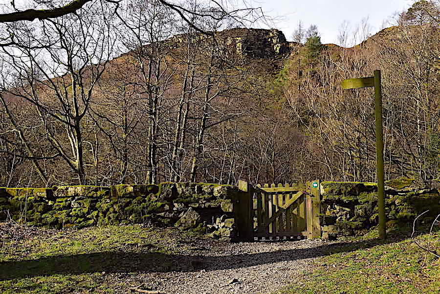
Only a handful of cars were parked in the United Utilities car park at Legburthwaite when we arrived, and the occupants of one were still sorting themselves out as we parked up. The coin machine for parking wouldn’t accept coins last time we were here and we didn’t bother going over to see if it had been repaired either so we had a free parking afternoon. We think they charge us too much in water rates anyway. Anyway that’s beside the point, so on with the walk and we leave the car park via this gate, turn left and walk along towards the A591 …..
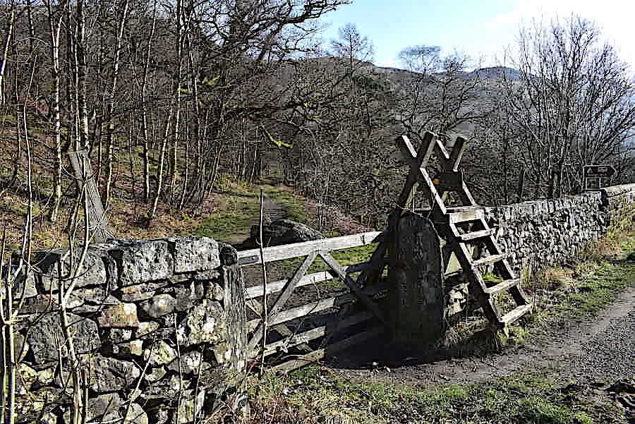
….. at the end of the lane we turn right and walk the muddy track alongside the main road. Its only a very short distance to this gate and ladder stile where we leave the busy road and the traffic noise and head off into some welcome peace and quiet.
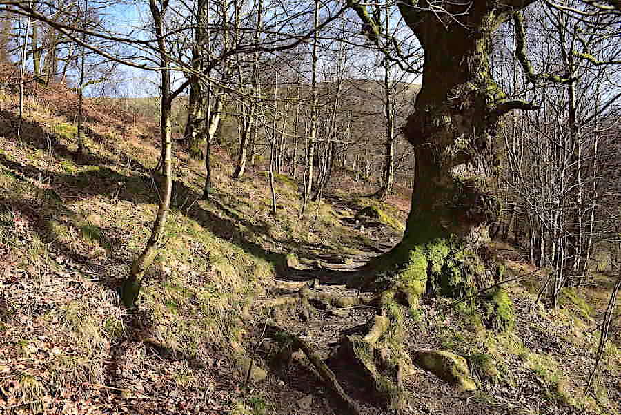
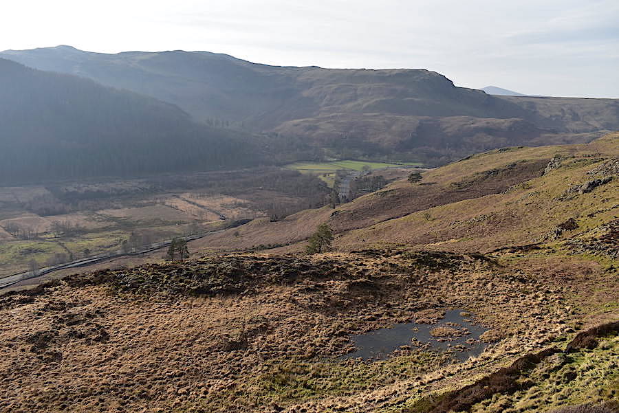
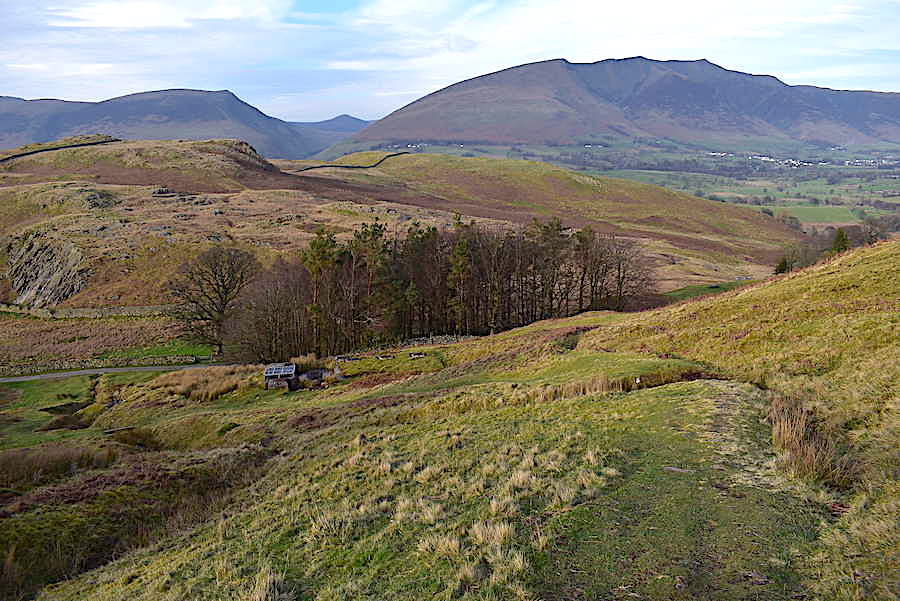
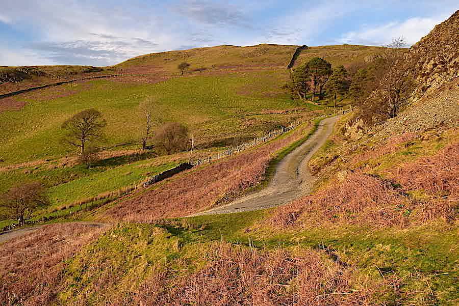
Once through the gate we walk only a few yards before turning off to the left up this track which meanders its way up to Wren Crag. The path going straight on leads over to the one on the eastern side of High Rigg along St John’s in the Vale.
The path is obstructed a little further along by this huge tree which has fallen directly across it but its easily by-passed on a new track over to the right.
A look back at the obstruction as we regain the original path once more.
A little higher up and we have a clear view of the Helvellyn range, on the left, and the A591 cutting through the valley towards Grasmere. Although a strongish breeze is blowing towards its a warm southerly one and its at our backs too so we are not having to fight our way through a headwind as we did on our last walk over Fleetwith and Haystacks.
Over to our right, as we continue the climb, is Castle Rock on the lower slopes of Watson’s Dodd. The rock is a favoured haunt of climbers but warning signs have been in place since a crack, which was first spotted in 2010, had widened considerably and was showing signs of major instability. The crack eventually weakened and an enormous slab of rock finally fell and shattered onto the scree slopes below in November 2018. Climbers are still advised to keep clear of the affected area.
Wren Crag up ahead and a second fallen tree across the path necessitates another small diversion.
We’re high enough now to take another look back to where the A591 skirts around Great How and continues on along the length of Thirlmere, a small section of which is just visible to the right of Great How. We’re also high enough to have worked up quite a lather now so we appreciated the opportunity to turn into the breeze, have a mop round our faces and cool off a little. It doesn’t feel at all like February and thankfully we didn’t overdo the layering today. Short sleeved base layers, lightweight trousers and windproofs were the order of the day and even then we were very hot at times.
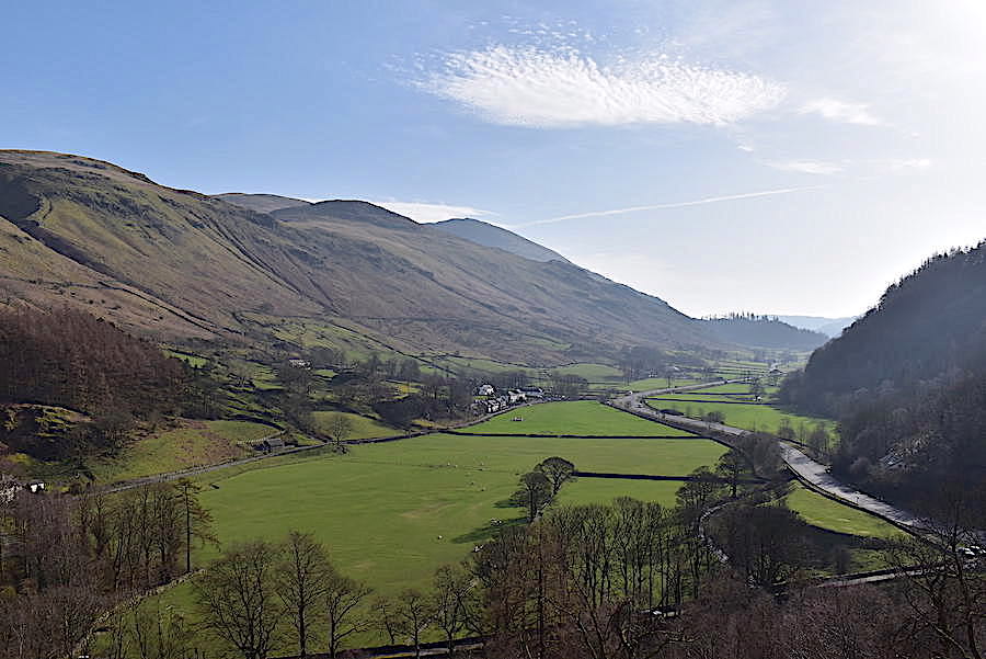
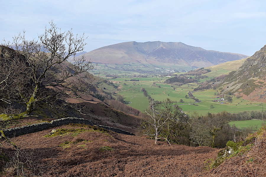
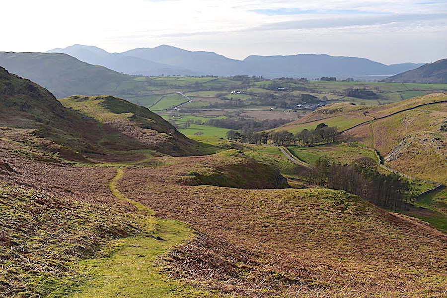
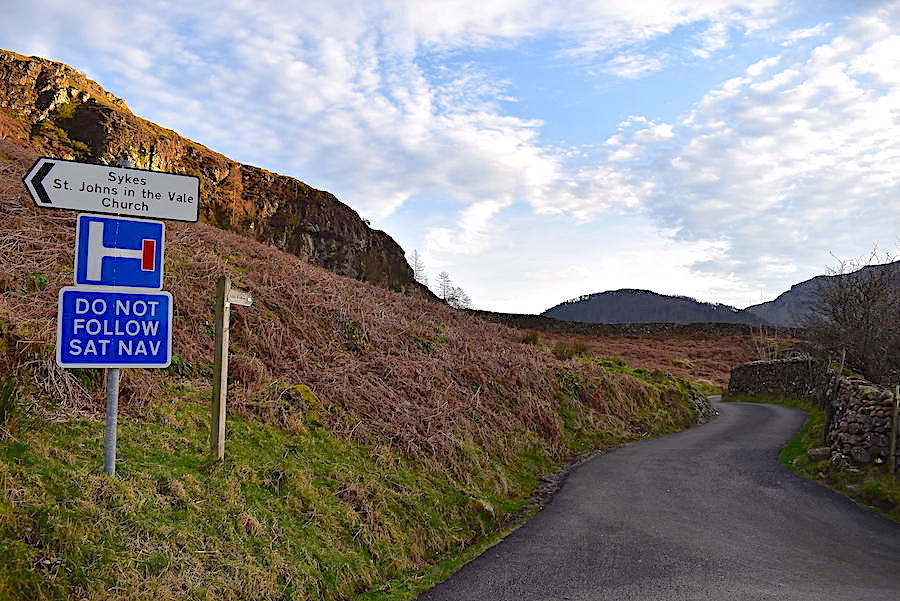
Alongside the triangular field, almost at the junction of the minor road and the A591, stands the little hamlet of Stanah from where, if you’ve a mind to, you can take the steep climb up to Sticks Pass. From the top of the pass there’s a good variety of routes to choose from.
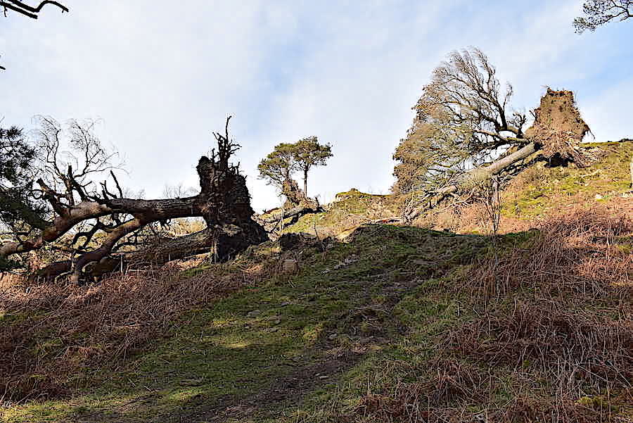
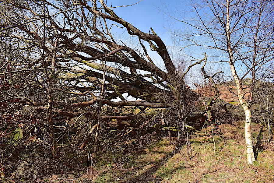
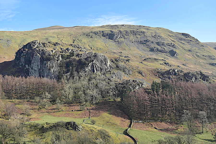
Still climbing up Wren Crag and the devastation caused by 2018’s winter storms becomes more abundant, four or five uprooted in this shot …..
….. two or three in this one, and the one still standing seems to have lost some of its limbs ….
….. these two also look to have had side branches whipped away but at least they are still standing …..
….. while below us is a scene of total destruction. A look at the same walk we did in November 2014 offers a before and after comparison. I know things will recover but its still sad to see so many trees destroyed.
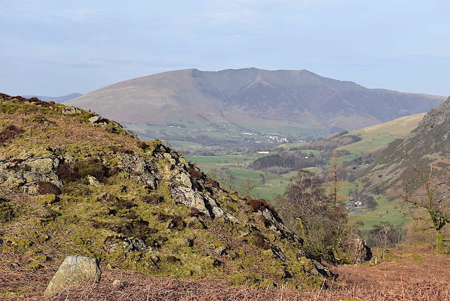
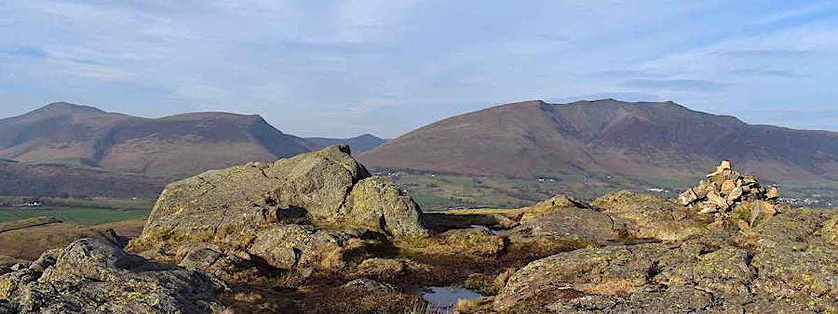
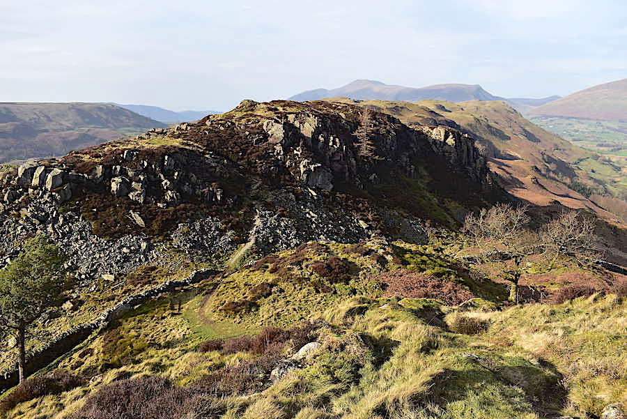
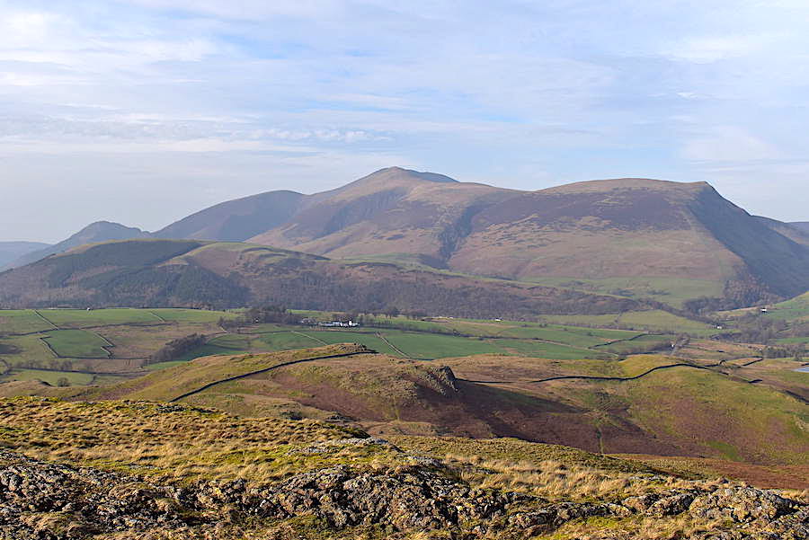
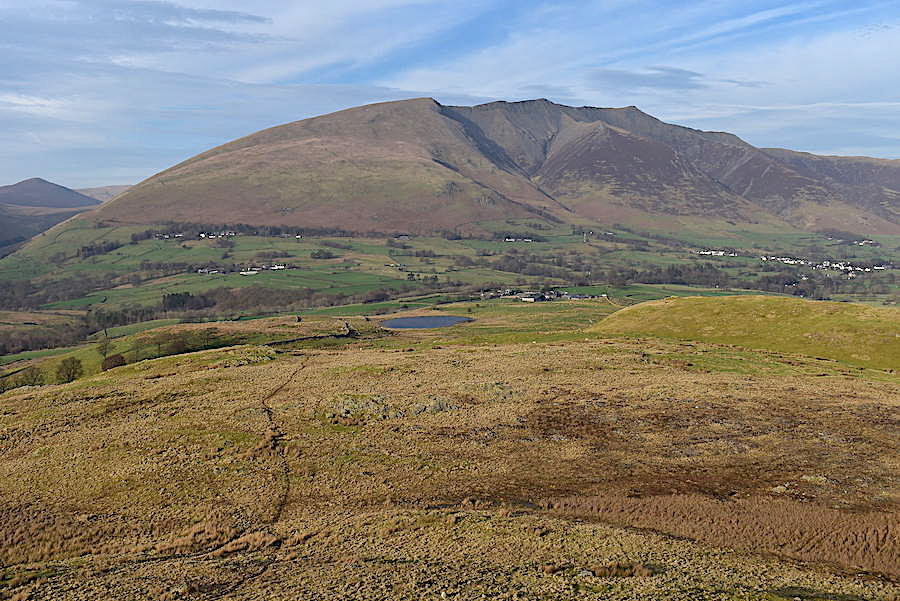
Blencathra from the top of Wren Crag. The sky has a milky cloud layer and there’s a lot of haze around so Blencathra’s various ridges aren’t as well defined as they could be.
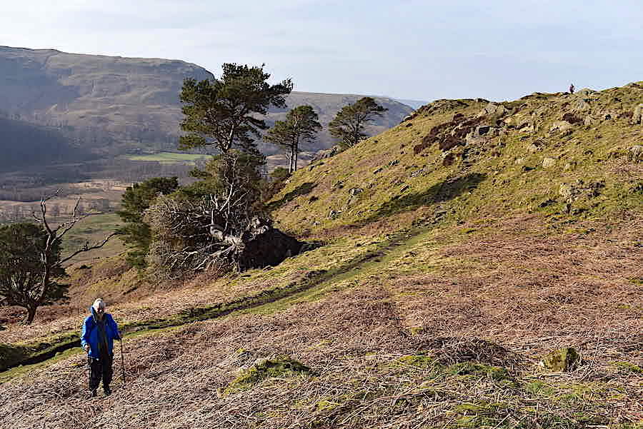
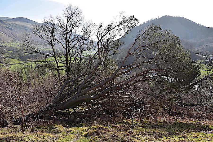
J waits for me to join him again before we head off towards Long Band. Another storm victim lies beyond the path.
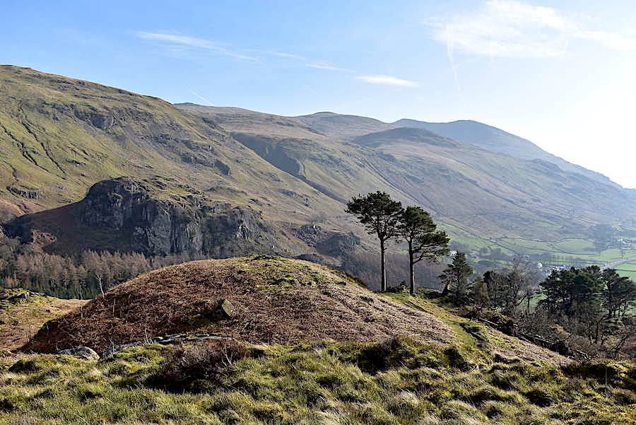
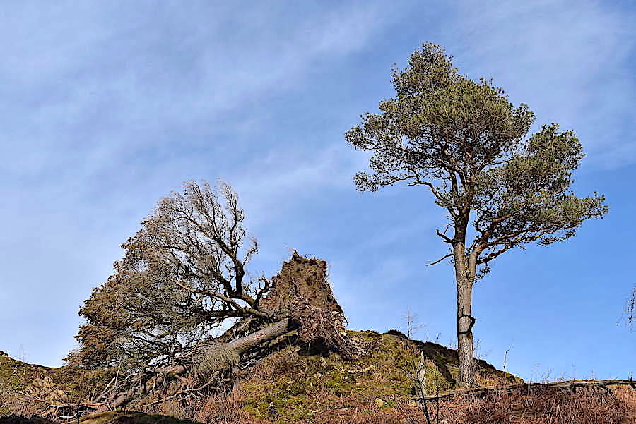
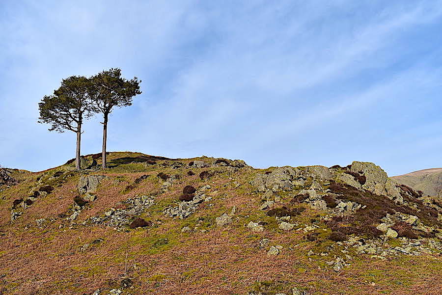
Looking back to Castle Rock and the few remaining Scots Pines on Wren Crag before …..
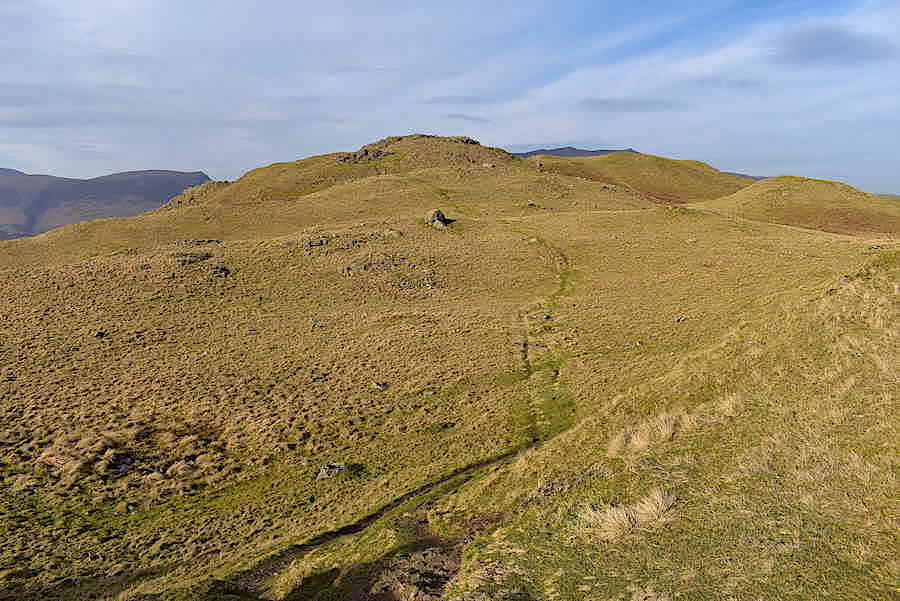
….. we head for Long Band and the undulating walk over to the summit.
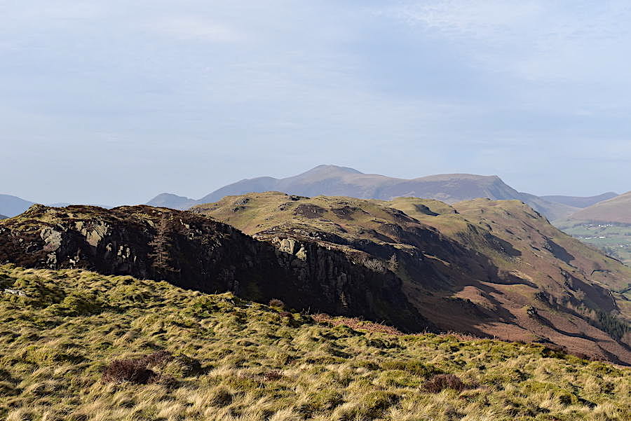
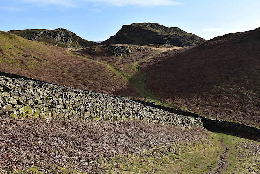
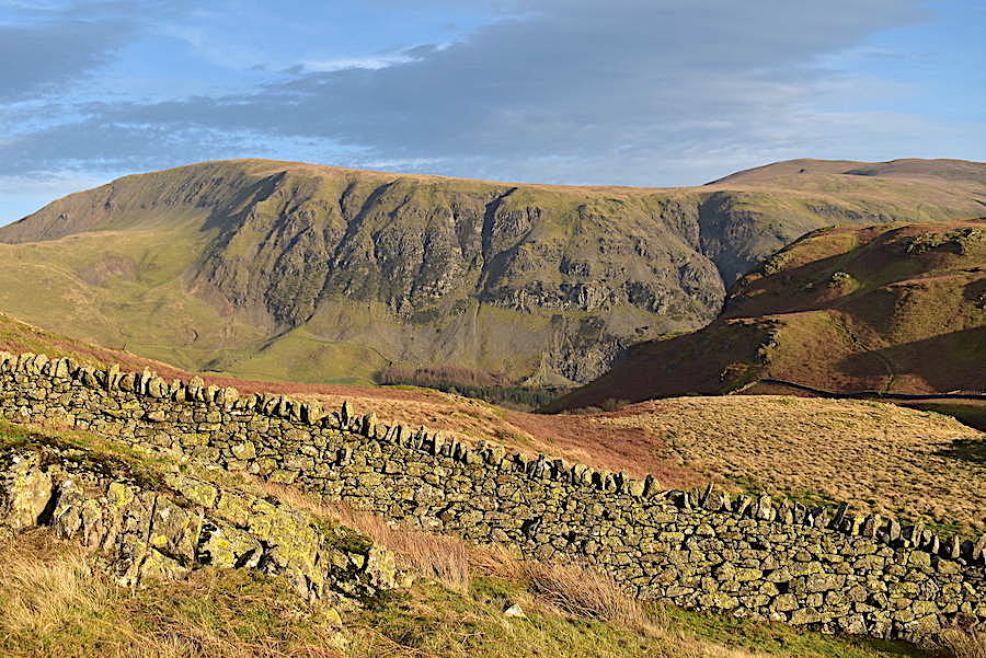
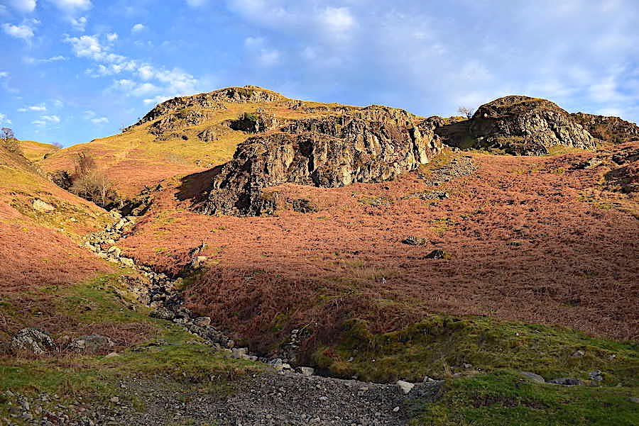
The Skiddaw fells appear behind Long Band as we head for the little col between it and Wren Crag. The climb up to Long Band from the col is a bit rough and stony underfoot but it presents no real problems, and younger members of a family group might regard clambering through the crags as something of an adventure.
Looking along St John’s in the Vale to Blencathra as we drop down to the little col.
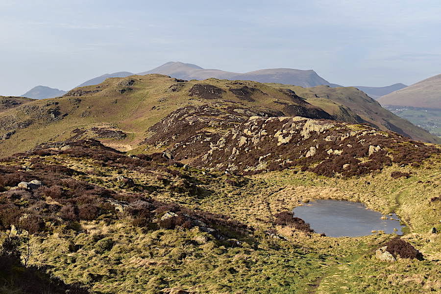
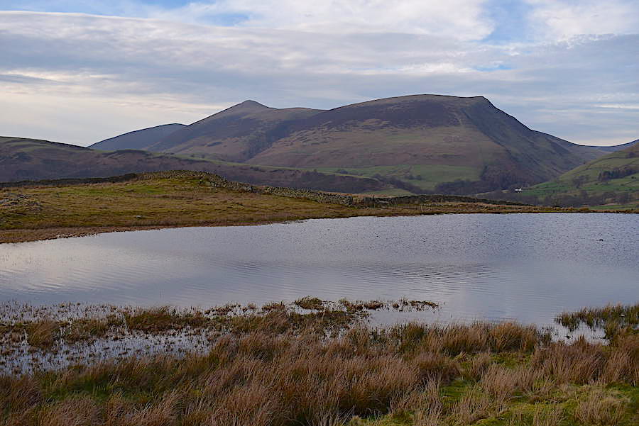
One of the many little tarns to be seen dotted across High Rigg as we walk over Long Band.
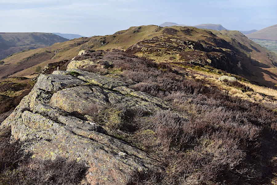
The view along Long Band.
Looking across Dale Bottom where another little tarn appears below us on the western side of High Rigg with the Bleaberry Fell-High Seat ridge on the skyline.
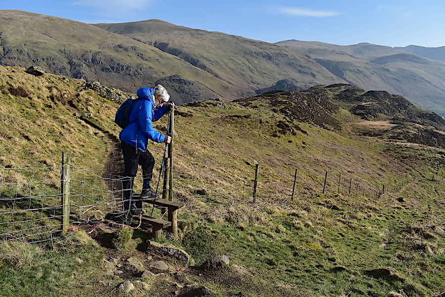
From Long Band the path leads over to this stile in the fence.
 A skyline view of Stybarrow Dodd, Raise, White Side, Helvellyn, Helvellyn Lower Man and Browncove Crags.
From the stile the view back towards Great How and Thirlmere, with another one of High Rigg’s tarns perched on a little shelf just below us towards the bottom of the shot. Unfortunately there weren’t any clear views to the south today, too much haze around. We turn around and follow the fence back up to the ridge line. A stiffish climb but it doesn’t last long.

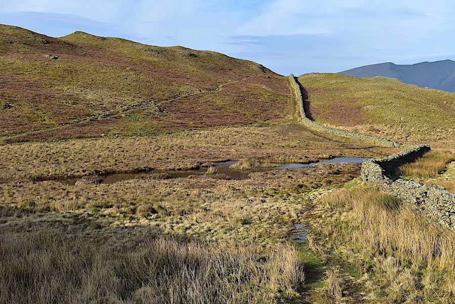
At the top of the climb we drop down to this rather larger tarn set in a flat and very watery hollow between two surrounding outcrops, so it was splish, splash over to the other end.

Dropping down again to meet another watery patch where a natural spring bubbles up to the surface. The wall ahead of us in the centre is where we are aiming for next …..

….. heading for the ladder stile and the path rising up the hillside beyond the wall. We ignored the thinner path going off to the left halfway up and kept straight on with the wall to our right.
Looking back from just above the ladder stile to where the two paths become one again. We descended from the tarn via the left hand one and after another short pull up …..
….. dropped immediately back down again to Paper Moss. Normally the drier route would be to cross this soggy area by veering over to the left of the shot and picking up the path on the hillside opposite. We did try that but it seemed to be much wetter than usual so back we went to the wall. The path by the wall is generally the wetter of the two options but not today. My memory may be deceiving me but I recalled using some stepping stones which were sited very close to the wall in 2014. They were just below the level of the water then but were still usable so I thought perhaps that would be the case today. When we reached the wall things looked a little different, the grass verge beside the wall was wider and drier and the stones which had been there had disappeared. Perhaps a some extra banking-up has taken place in the intervening years. Beyond the pool of water though the path remained as wet as I remembered it to be.
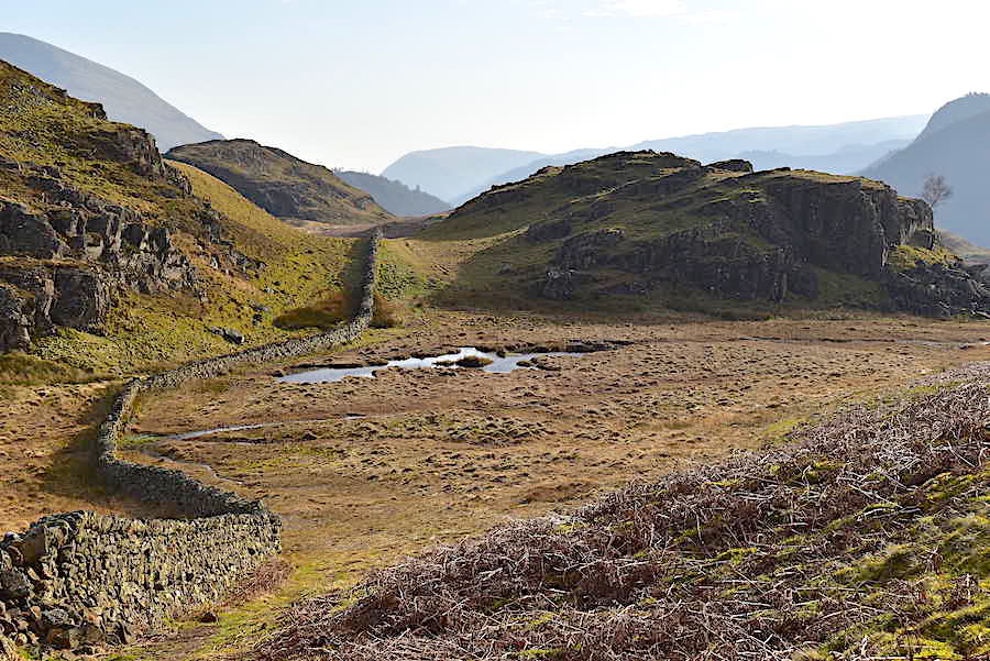
The view back to Paper Moss as we cross over to the established, and much drier, path.
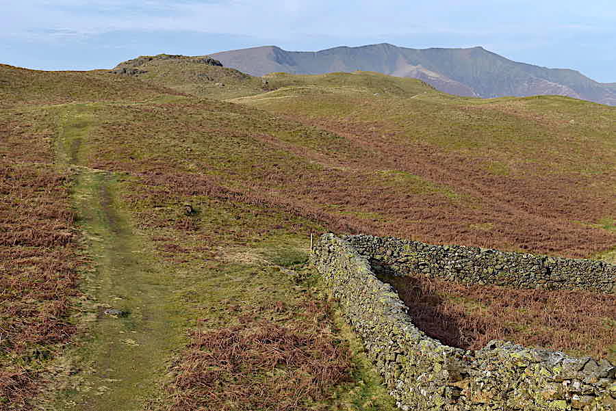
As we reach the crest of the rise the summit of High Rigg comes into view. At the wall corner the path splits with the right hand path going off towards the crags on the eastern side of High Rigg.

I took a look back at the junction as we carry on straight ahead …..
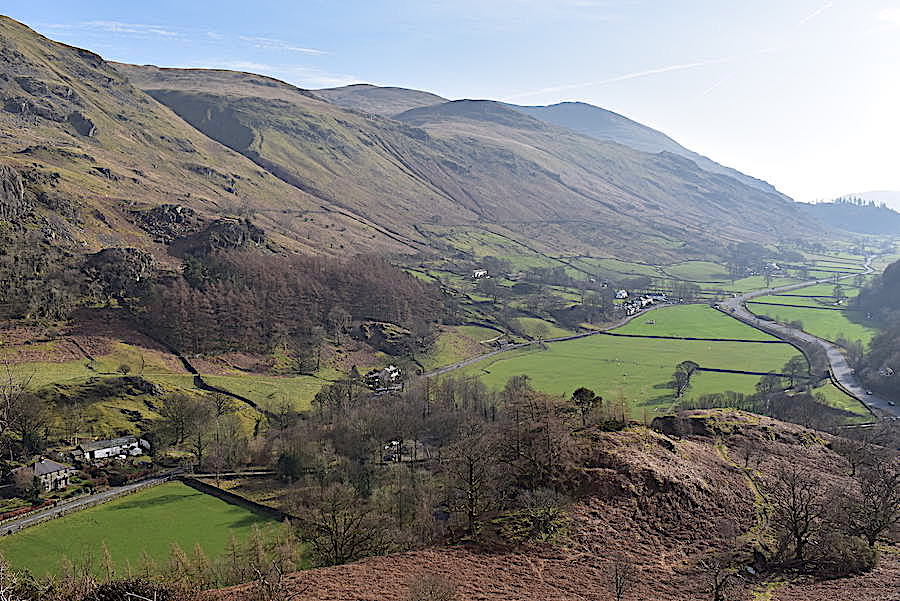
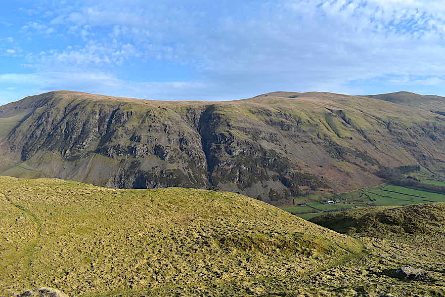
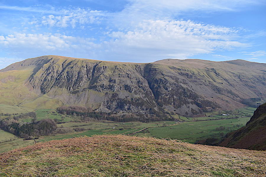
….. while the wall starts to descend towards St John’s in the Vale. If there is a path alongside the wall it doesn’t look to be very well trodden. Clough Head and Wanthwaite Crags rise up steeply on the opposite side of the valley.
On we go, over the ups and downs, heading for the summit. A very pleasant trek across as we were out of the breeze and in the sunshine.
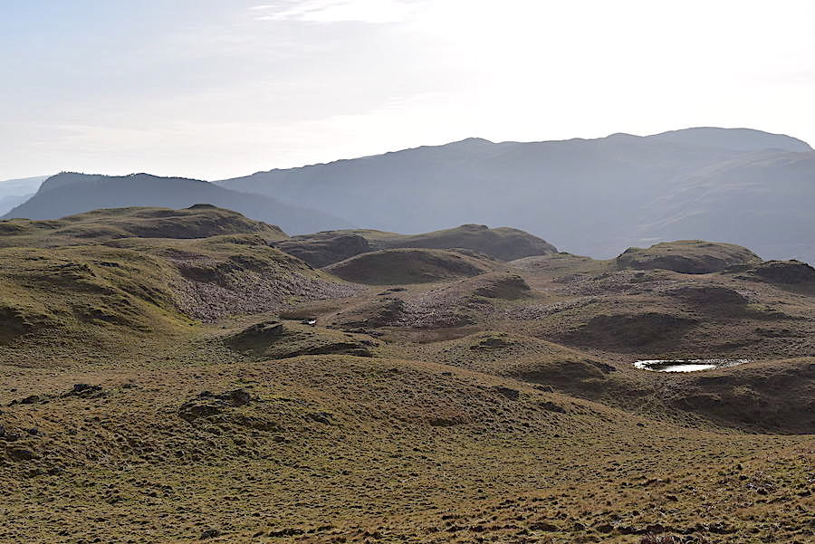
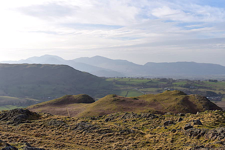
Lumps, humps and bumps. The undulating nature of the terrain over High Rigg with another couple of small tarns sparkling in the sunlight. The silhouetted skyline shows Raven Crag and The Benn over to the left but the bulk of it is occupied by the High Seat – Bleaberry Fell ridge.
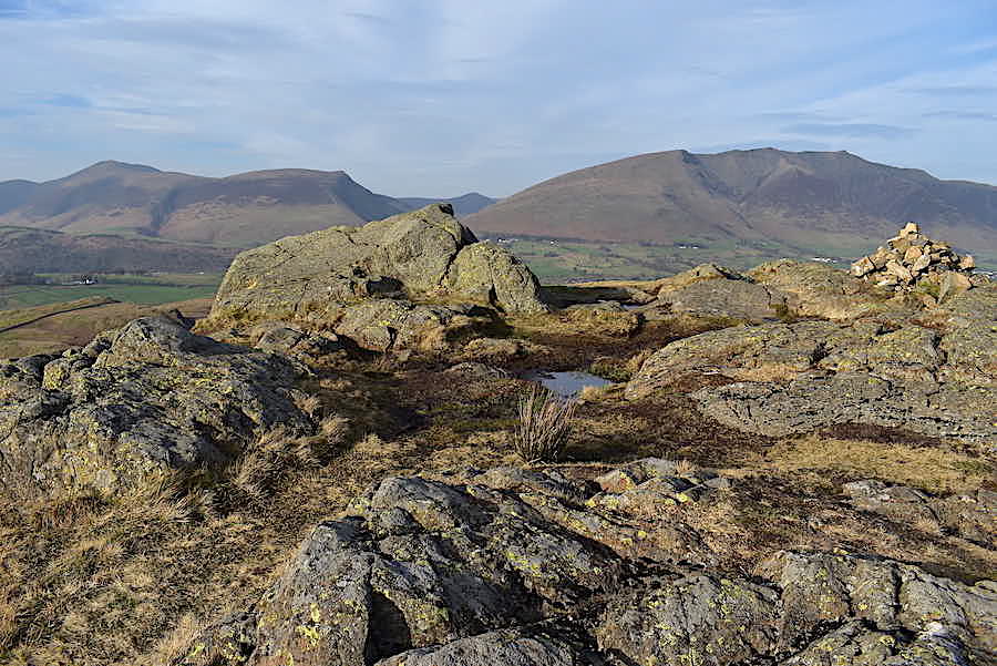
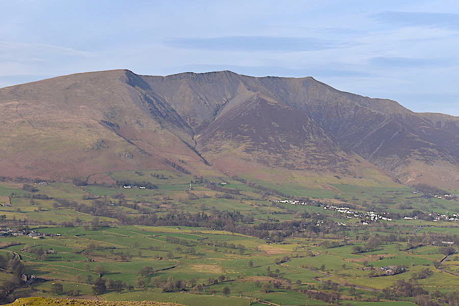
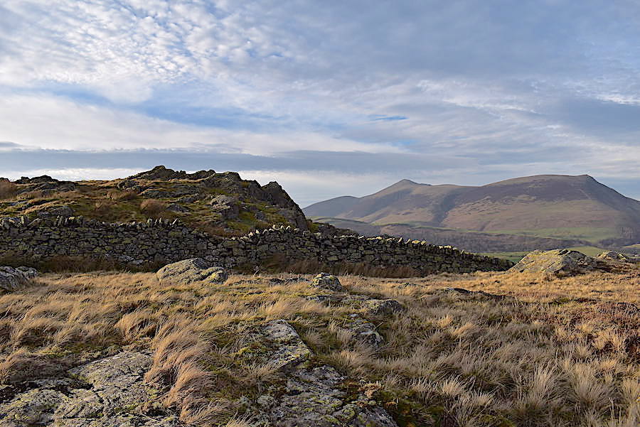
The summit of High Rigg with the cairn placed on the level outcrop to the right of it. The Skiddaw group and Blencathra fill the skyline.
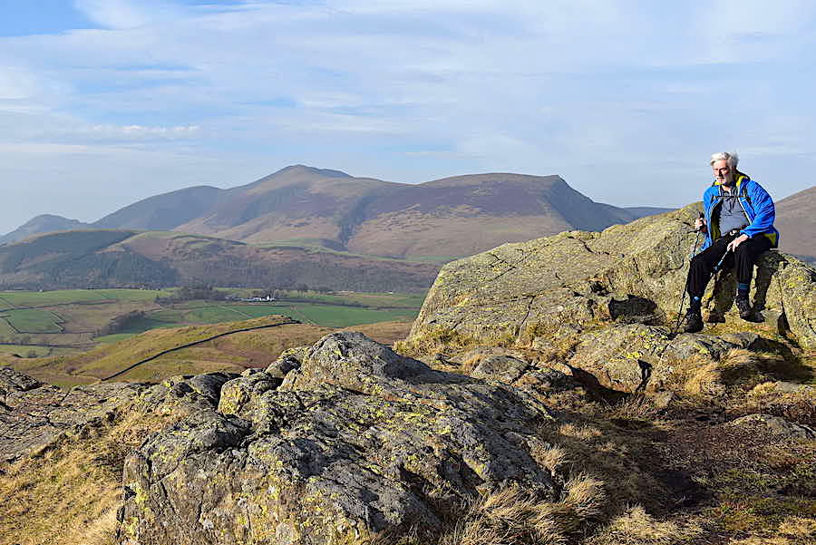
J takes it easy on the summit rocks for five minutes, hair and windproof jacket blowing in the wind. If he has his jacket unzipped and isn’t wearing a jumper then you know its a very warm day.
As the shot shows we didn’t have ‘gin clear’ skies and wall to wall sunshine but the cloud layer remained thin for the most part which, along with the general haze, gave the Skiddaw group a softer, more subdued, appearance. The long, low fell below them is Latrigg and immediately below where I am standing is Low Rigg, our next port of call.
Blencathra is also in soft and subdued mood …..
….. although Wanthwaite Crags and Bram Crag look much more aggressive in the direct light across the valley …..
….. but things turn hazy again as I turn to take a look southwards where a glimpse of the remaining snow on Helvellyn’s headwall can be seen between White Side and Helvellyn Lower Man. It might need a zoom in to see it a little more clearly though.
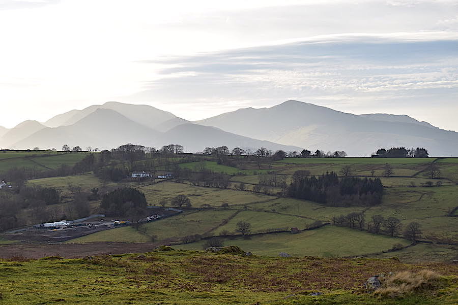
On the left of the smoky skyline are the north western fells while to the right is the flatter outline of the Whinlatter group.
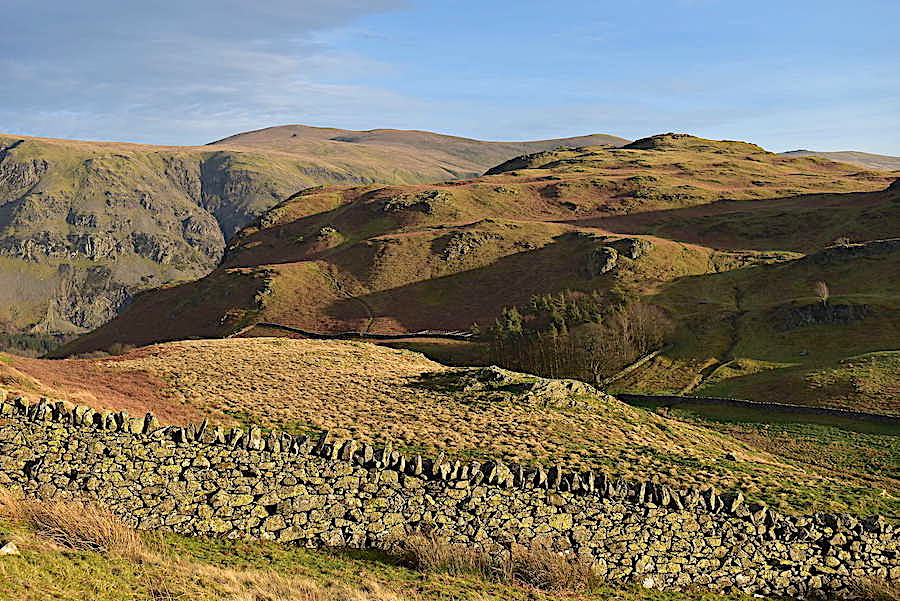
On the eastern side and getting the full benefit of the light are Clough Head, Calfhow Pike, Great Dodd and Stybarrow Dodd.
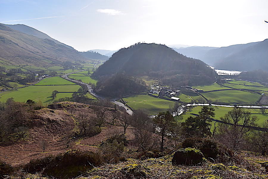
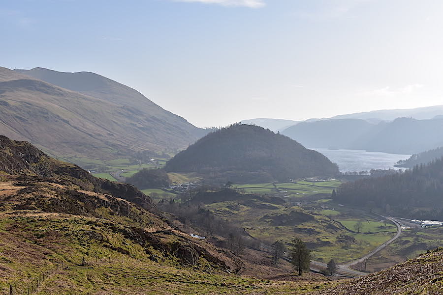
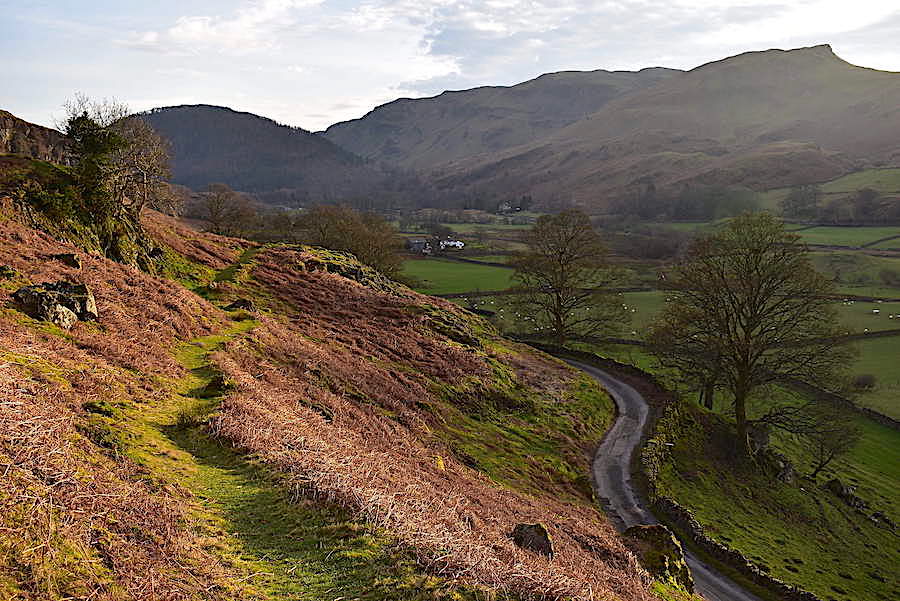
The view back to High Rigg as we begin to descend to the church and the youth centre.
There are a couple of paths leading from the summit and we generally take the left hand one as it meanders a little more and the descent isn’t quite so steep. It really doesn’t matter which one is chosen as both paths come to an end on the road beside the church and the youth centre.
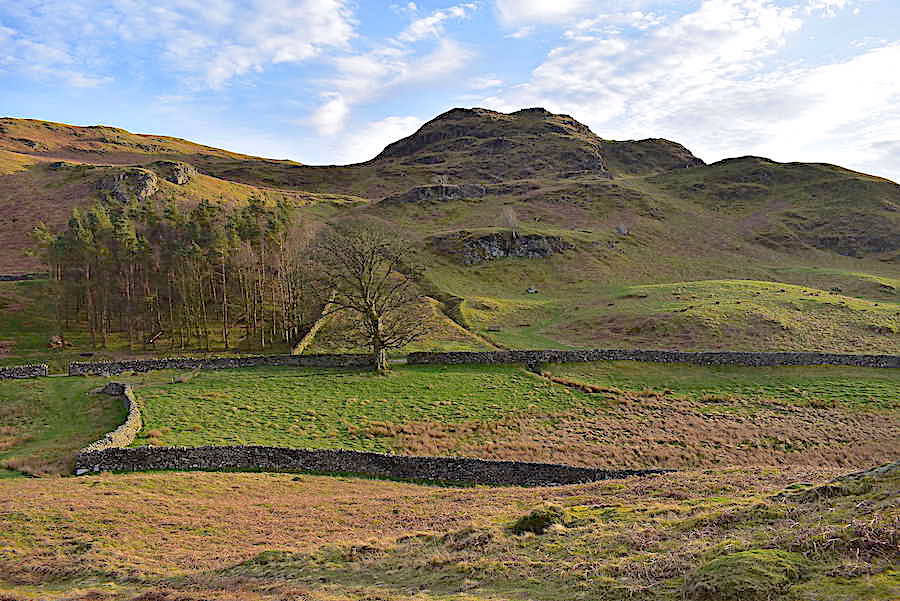
Just above the trees is Low Rigg, where we are heading next, with Lonscale Fell, Great Calva and Blencathra on the skyline.
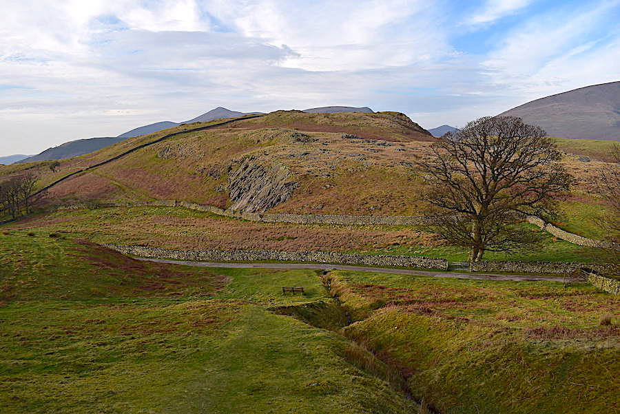
Almost back down to the road with Low Rigg directly ahead of us, and a handy bench below should anyone be in need of a break. Once down on the road we turn right, go through the gate and walk just a few yards, over the now tarmac road, where an opening in the wall …..
….. gives access to the path leading up to Low Rigg.
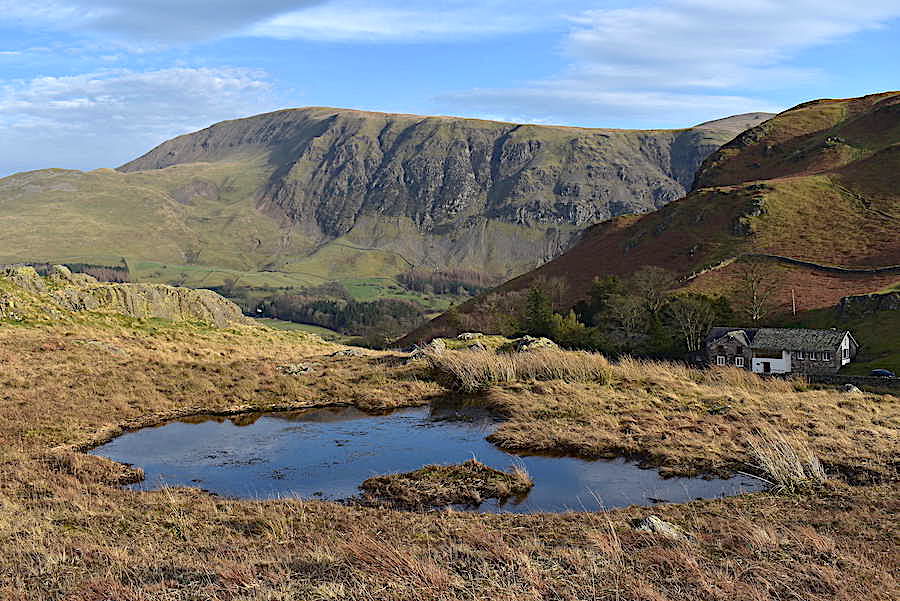
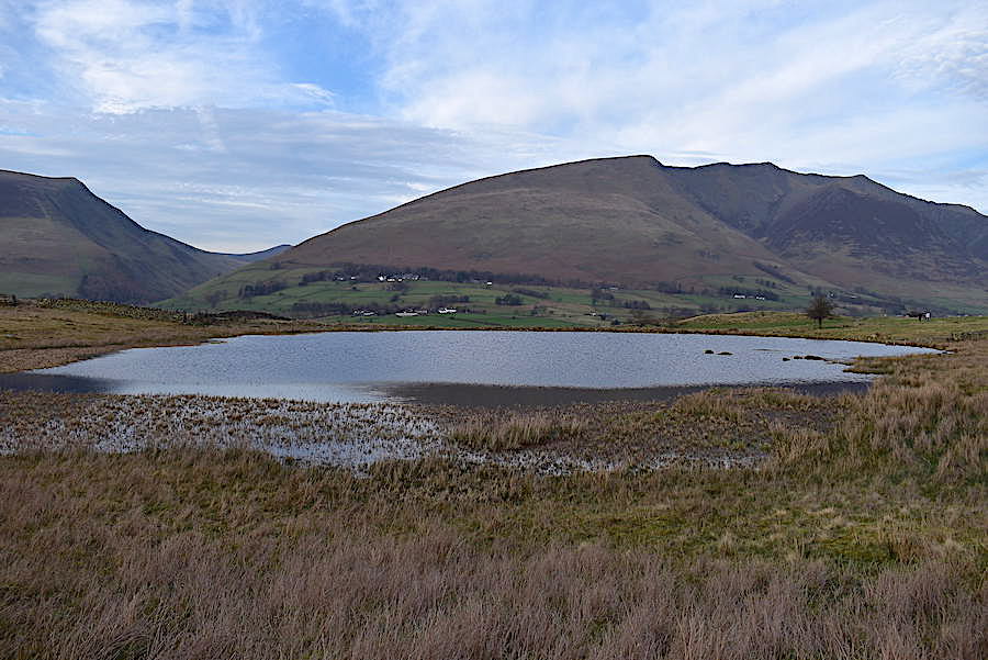
Another small tarn on the way up provides a bit of foreground interest for this view towards the youth centre and Clough Head. The church is just out of sight below the youth centre building.
Blencathra and the path over to Tewit Tarn from Low Rigg.
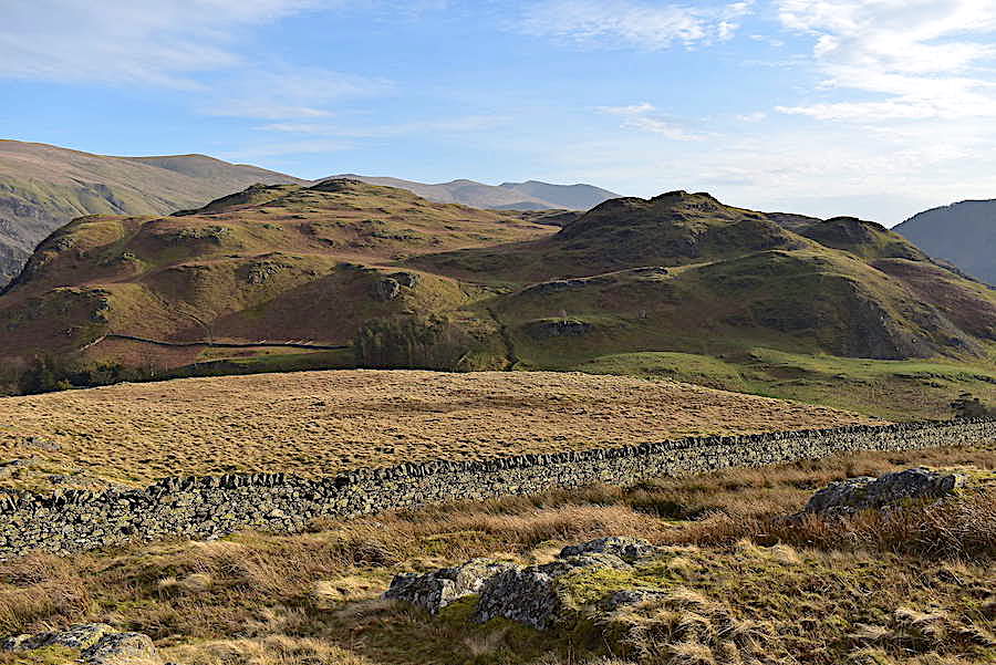
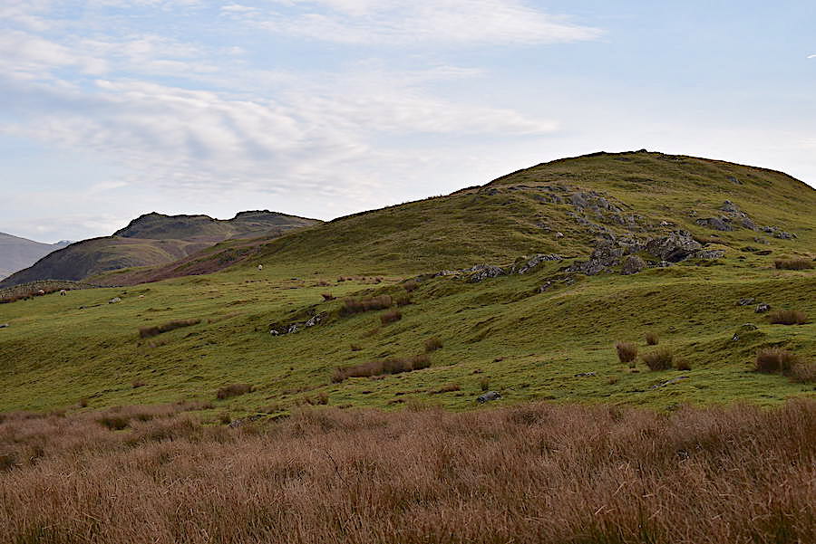
The view back to High Rigg from Low Rigg.
We drop down from Low Rigg and follow the path over to Tewit Tarn. From the gate in the wall across the end of Low Rigg I took this look back at the Riggs, High and Low.
By the time we reached Tewit Tarn a thicker band of cloud had drifted across the sun so things turned a little gloomier for a while. I was hoping for a blue tarn, to complement the sky, but had to make do with a grey one instead.
There’s the culprit, loitering with intent above the Skiddaw fells.
Tewit Tarn (Chuffit Tarn in local parlance) is the furthest point we had planned to go so from there we turned around and started to head back. The north western fells looked quite mystical in reality but the shot hasn’t turned out as well as I’d hoped. The cloud which plagued us at the tarn is beginning to drift over and the very bright light now appearing on the left is washing out the shot to some extent.
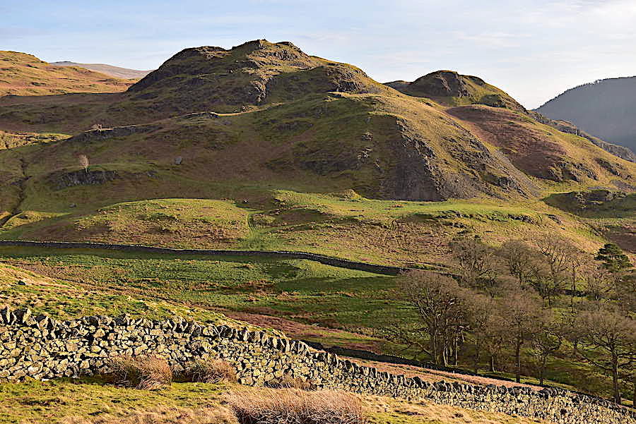
Some of High Rigg’s western crags, now brightly lit once again, as we make our way back to the youth centre road.
Great Dodd and Stybarrow Dodd on the skyline behind High Rigg summit.
Clough Head and Great Dodd once again.
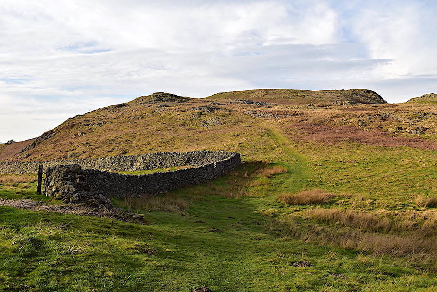
A look back across Low Rigg after crossing the wall once again. There isn’t a gate in the wall so the slight dip in it at this point makes crossing over a little easier, but not much. The absence of a gate along this wall seems to indicate that walkers may not be wanted up here but if you want to follow the Tewit Tarn path from this point there doesn’t seem to be much of an alternative.
Over on the far left of the shot is the gap in the wall which gives access to the Low Rigg path we followed for the outward and return legs of our walk over to it. Once through the gap, there is no gate, we’ll turn right and …..
….. follow the gravelly track down towards Sykes Farm. As I take a look back up the track I notice that the cloud has now morphed into cirrocumulus and we have the sunshine back again.
Just before the track meets the narrow back road below us we turn off to the left at this junction …..
….. and take a look down to the junction of the back road and the gravelly track we’ve just left. The back road comes to an end at Sykes Farm.
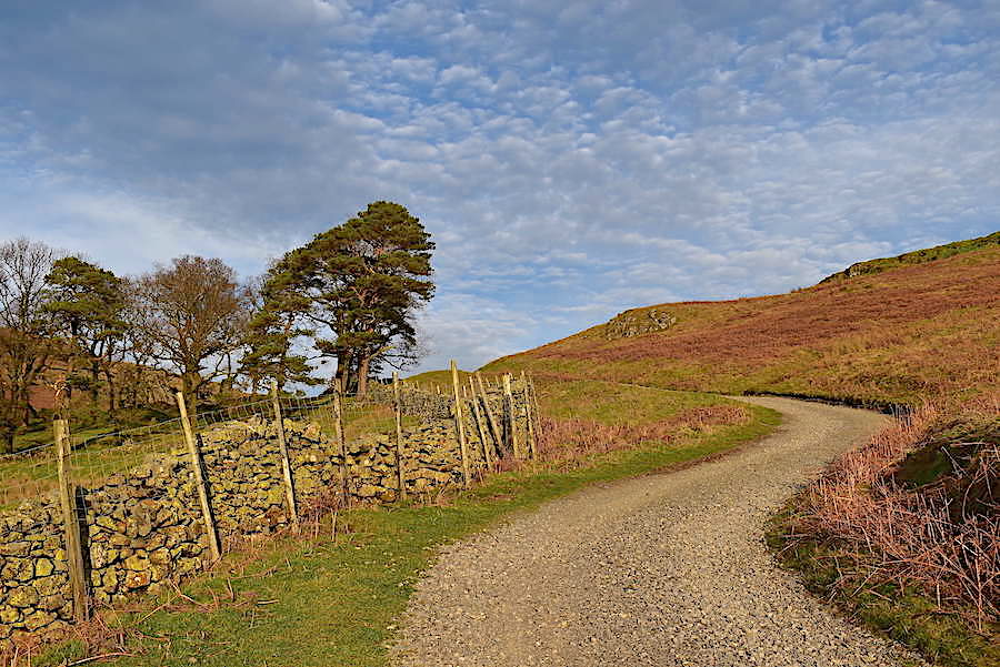
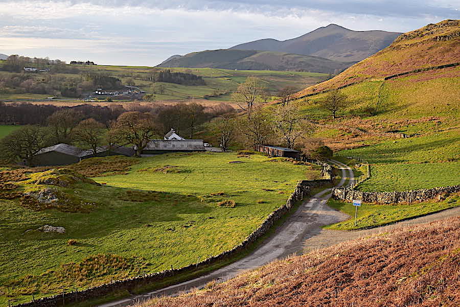
The grassy terrace path above the back road was lovely to walk along and kept us in the sun for as long as possible. Had we returned to the car park via the St John’s in the Vale path we would have been walking in deep shade by now.
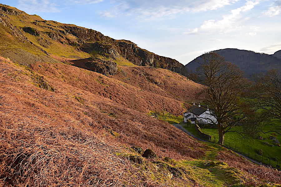
The terrace path doesn’t last all the way back though and comes to an end at Piper House. Here it joins up with the tarmac back road so we have a little road walking to do for a while. Its no great hardship though, it only leads to this house, a couple of others and the farm so the there’s no traffic at all.
From the back road we get some very different views, this is looking up towards Shawbank Crags. The shadow of Bleaberry Fell is gradually falling on us as the sun begins to disappear behind it.
The tarmac back road comes to an end at a turning area just around the next bend and from then on we are back on the usual well trodden footpaths over terrain broadly similar to that which we’ve already walked. Along the way we came across a footpath closed notice, which we ignored, and further on three or four metal poles with a red and white chain slung between them carrying a ‘Footpath Closed’ notice which we also ignored. The reason behind the closure didn’t affect us so that’s why we ignored it. Had we wanted to cross Rough How Bridge it would have been a different matter because …..
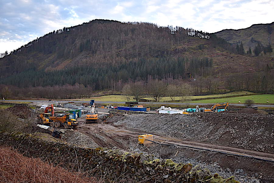
….. of the upheaval caused by the installation of the Thirlmere pipeline so access to the bridge is not allowed for the time being.
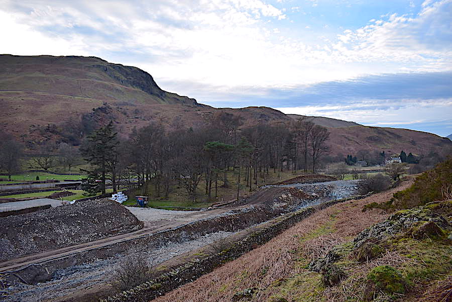
I took a look back along the pipeline route which is looking quite a mess at present but, fingers crossed, everything will be put back in its proper place when the pipeline work is completed. Our return route wasn’t affected by any of it since it remained above the pipeline workings as we didn’t need to cross the bridge. It was interesting to see what was going on though.
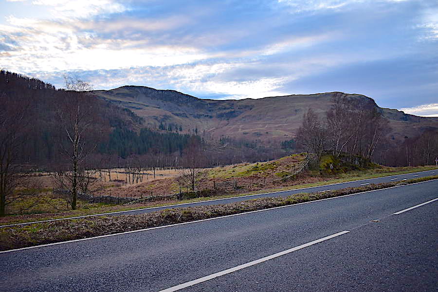
A whole lot less interesting was the walk along the A591 back to the car park. The cloud has turned up again but it really didn’t make a lot of difference because the sun was now behind High Seat and we wouldn’t have got any more light anyway.
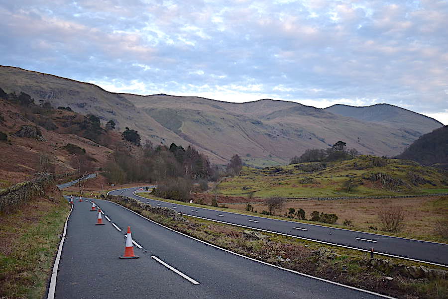
We knew we were in for the mile and a bit walk back along the road when we opted to keep to the sunny side of the fell but it was made a lot less fraught than it might otherwise have been by the traffic cones closing off the nearside lane. The trees along this side of the dual carriageway are being lopped so the nearside lane has to be kept clear for the work to be undertaken. That provided a safe passage although there wasn’t a huge amount of traffic on either carriageway so it was pretty quiet apart from the occasional car going by us. The clouds are beginning to get a pink tinge so the sun is starting to drop lower in the west but the trees on Wren Crag are just ahead so there isn’t a huge distance left to walk back to the car park. I didn’t take any more shots since they would just have been more of the same so effectively that’s the end of today’s walk and a very enjoyable one it has been too. A grand little unplanned walk on an unexpectedly pleasant afternoon. Sometimes you just have to strike while the iron’s hot.