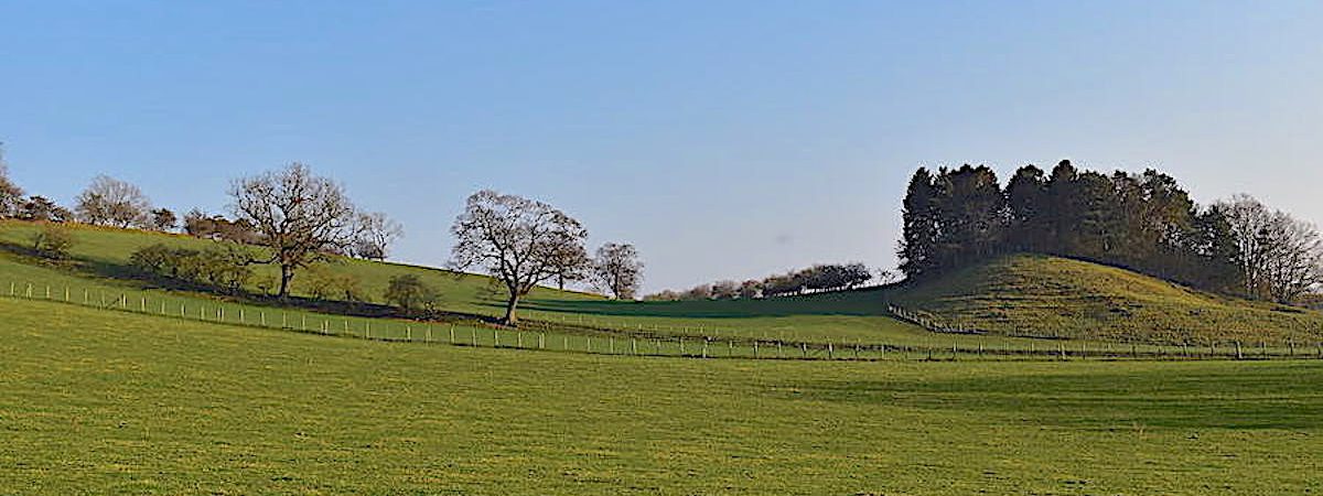
Long Meg and Lacy’s Caves
Walk Date – 27th February 2019
Distance – 6.4 miles
Weather – dry and sunny
Now for something completely different. Its my birthday today and I’m treating myself to a proper day off. I decided I wasn’t going to do any chores, any cooking, or anything at all other than enjoy the day. As this is set to be the last day of the sunny, settled weather one way to enjoy it was to take this delightful walk which begins in Little Salkeld, a few miles to the north of us. We had some lunch at home and then drove over to Little Salkeld and spent the afternoon enjoying an easy stroll through the gentle countryside.
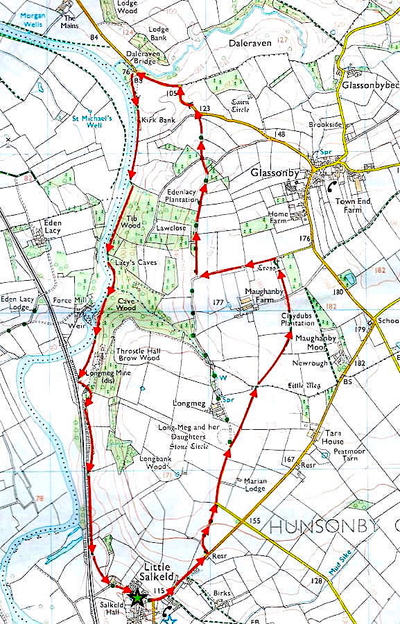
Route
Little Salked – Long Meg and her Daughters – St Michael and All Angels Church – Eden Lacy Plantation – Daleraven Bridge – Tib Wood – Lacy’s Caves – Cave Wood – Longmeg Mine – Little Salkeld
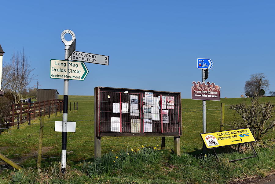
There’s no shortage of information at the top of the road into the village where details of various activities are displayed in abundance. The car is parked in a small parking area off to the left and, as the green sign indicates, we will head off to the right in the direction of Long Meg.
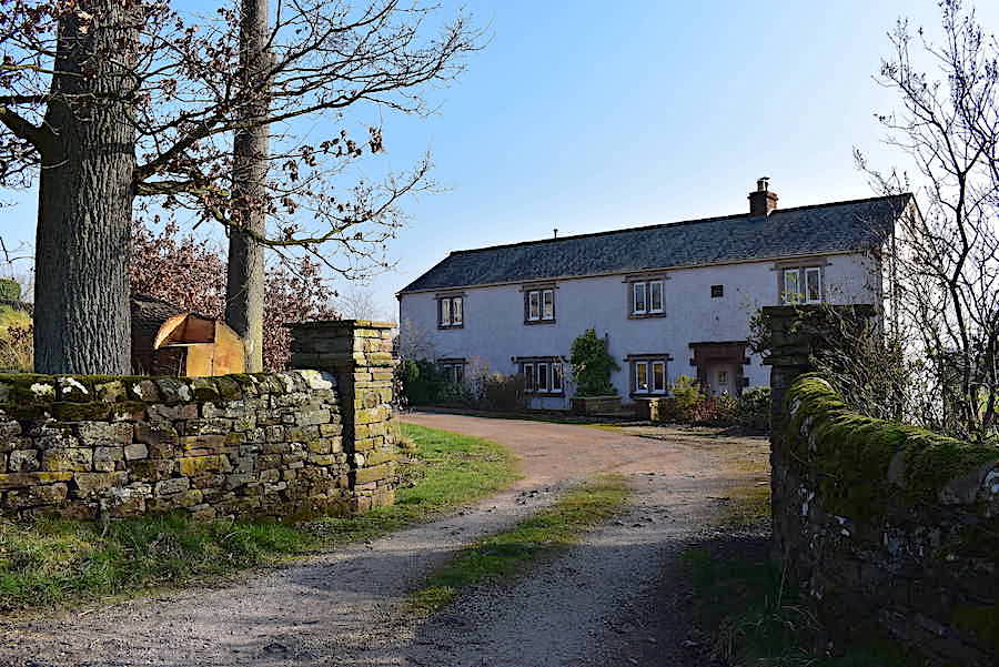
A very attractive residence on the way up Stoup Hill, which was just about the only incline of any height and length we encountered on the whole walk.
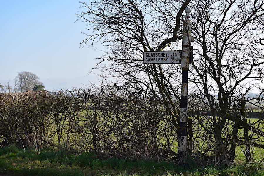
We could continue along the road but opposite the signpost is …..
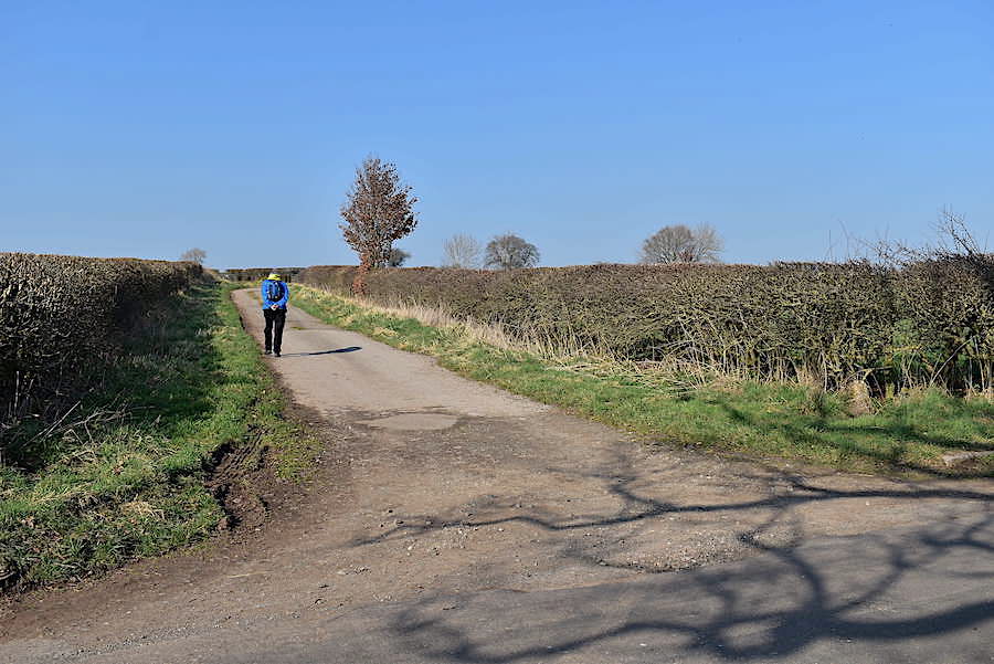
….. this track which cuts off a huge chunk of road walking and allows for a traffic free stroll. Surprisingly, while we were on the road the traffic was fairly constant so we were pleased to get away from it. The track veers round to the right beyond the tree and …..
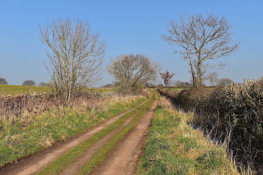
….. becomes this earth farm track. We sauntered along in the sunshine hearing nothing but bird calls every now and again. Very peaceful.
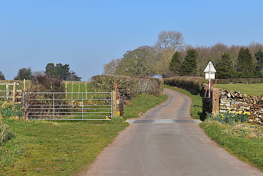
The farm track eventually joins up with the tarmac lane again but we don’t expect much traffic now as, once across the cattle grid, it becomes a farm access lane. Just around the bend …..
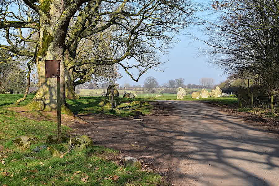
….. the little lane carries on to the farm and cuts straight through the ancient standing stones ahead of us. We cross the grass to the left and make our way …..
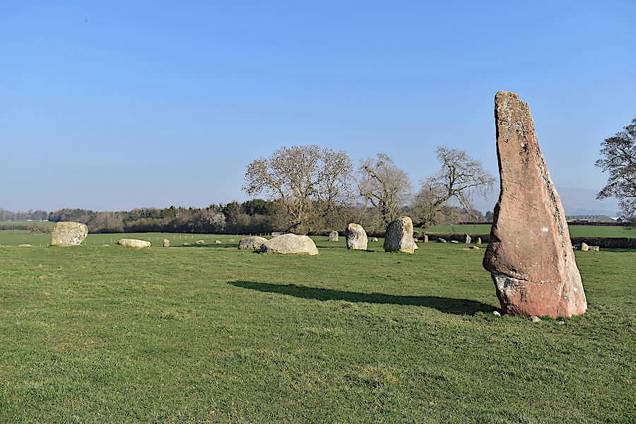
….. over to Long Meg, seen here with some of her ‘daughters’. Local legend has it that Long Meg was a witch who, with her daughters, was turned to stone for profaning the Sabbath, as they danced wildly on the moor. The circle is supposedly endowed with magic, so that it is impossible to count the same number of stones twice, but if you do then the magic is broken.
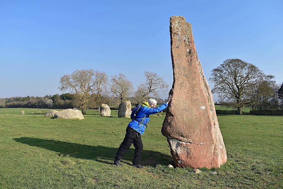
You’d put money on any bloke doing this wouldn’t you? J couldn’t wait to show what a big kid he still is.
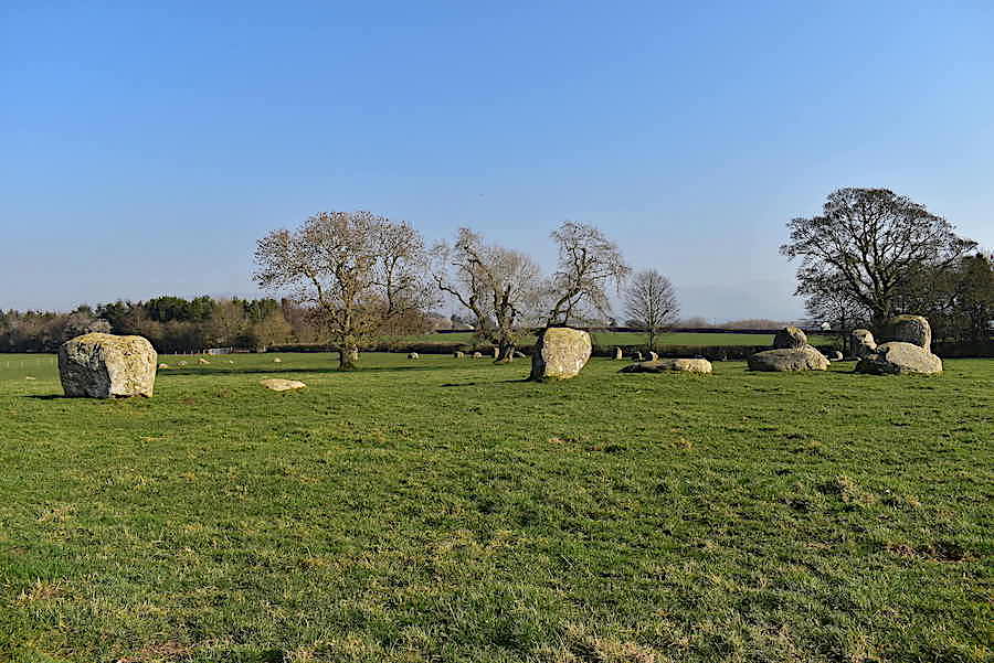
This is the largest stone circle in Cumbria with a diameter of about 350′ and without a drone to take an aerial shot it was just about impossible to show the circle in its entirety. Long Meg, made from the local red sandstone, is the tallest stone, standing about twelve feet high and located about sixty feet outside the circle. The stones forming the circle are a type of granite and apparently its thought that there used to be about seventy of them. I didn’t go round and count them though so I can’t offer a definitive number. I know there’s a large amount of them and I had to go and stand by the hedge over there to try and get them all in one shot.

The circle is Bronze Age in origin and its purpose is not really known and several theories, conjectures and arguments have been put forward over the years. Solar events, lunar events, religious gatherings, burials have all been put in the mix and maybe, rather than having a single purpose, it encompassed all of them. The huge size of it means that it occupies practically the whole of the field.

Here’s the view from the field hedge I mentioned previously and I still haven’t managed to include all the stones in the circle but it gives some idea of its size. The Long Meg stone is at the top of the slope just to the right of the tree.
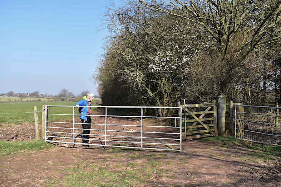
I walked over from the hedge to join J at the gate for the next section of the route …..
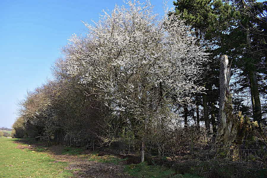
….. which is a rough track alongside the boundary of the next field. Several wild cherry trees in full bloom along here with their tiny petals looking like snowflakes on the ground below. A spring like scene even if it isn’t officially spring yet.
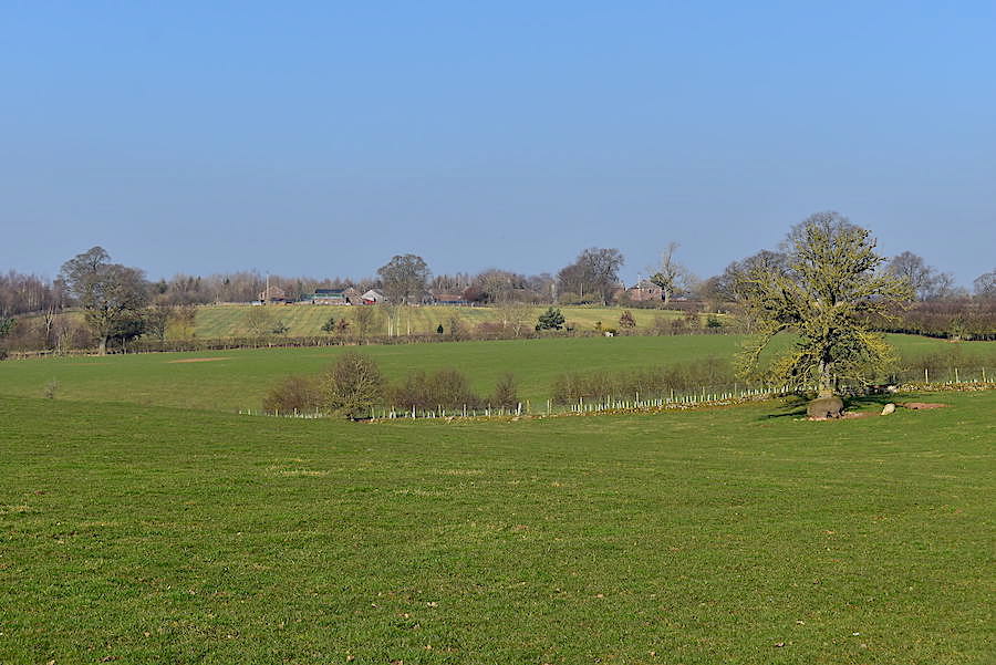
Across the fields we should be able to see the tops of the north Pennines beyond there but the haze is even thicker than in previous days so they have temporarily disappeared.
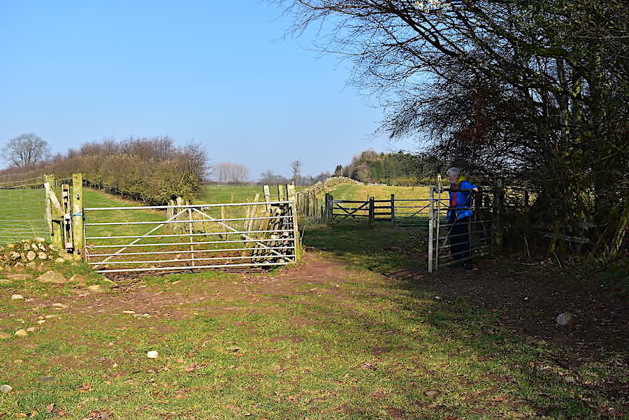
There are a number of gates to pass through along the way and having gone through the one that J is holding open we go through the small wooden one beyond keeping the field wall on our left.
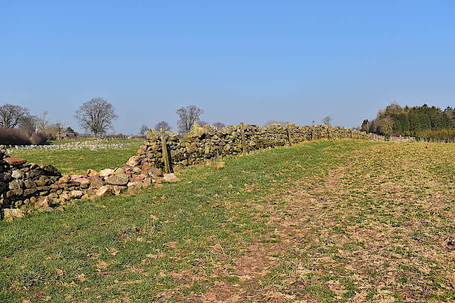
This is simply a rough open field with another gate at the far end.
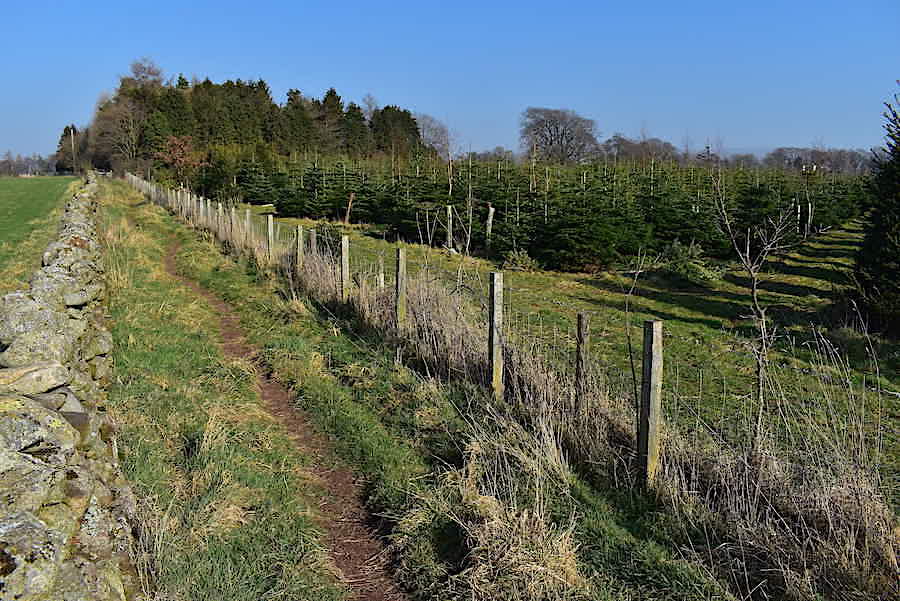
Having passed through that gate there’s a large conifer plantation on our right. They all look like a good set of Christmas trees at the moment but they may not have been planted for that purpose of course. There’s another gate at the end of this field which leads us through …..
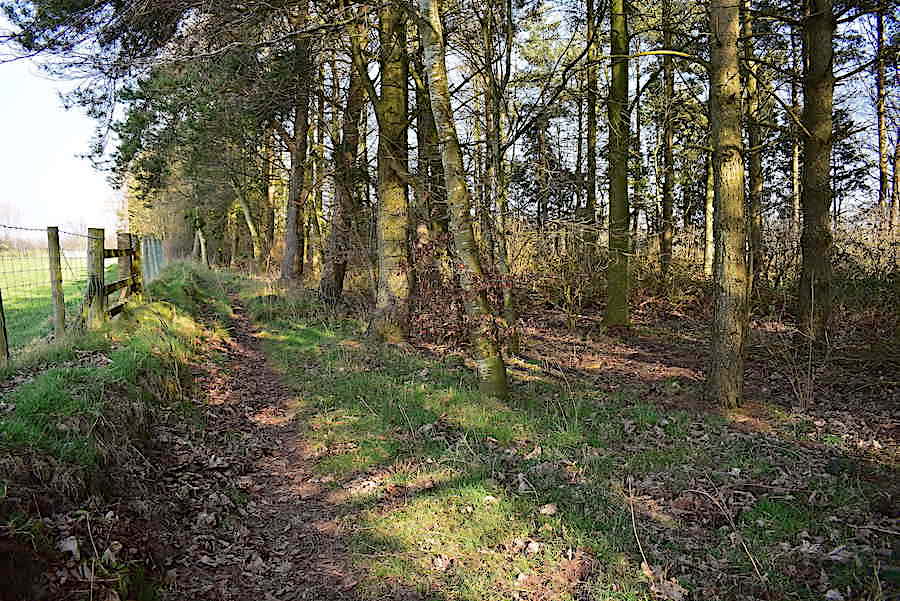
….. a short section of light woodland at the end of which is …..
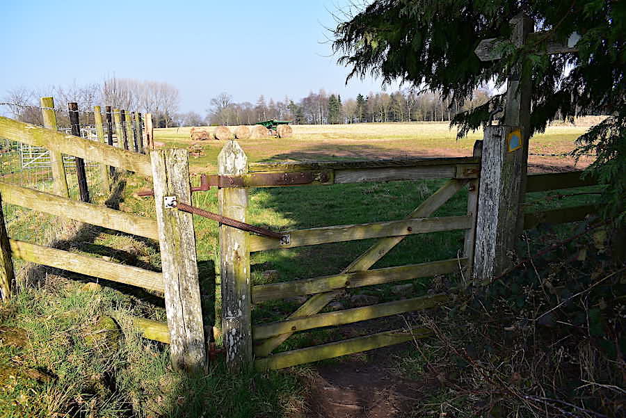
….. yet another gate where we step onto open farm land once again.
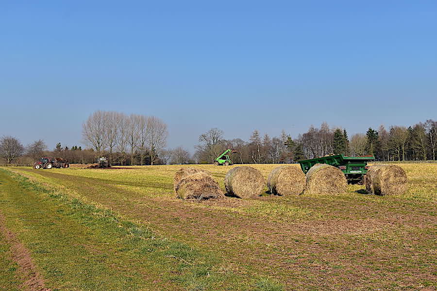
If it wasn’t for the bare trees this could almost be a scene you would see during haymaking in the summer months. I’m not sure what was going on here, the light green tractor in the middle had just picked up something from the pile over on the left, the red tractor was pulling a trailer similarly laden with both of them driving off in different directions to offload their cargo somewhere else. All I can think of is that the hay that is no longer in good condition and is being disposed of.
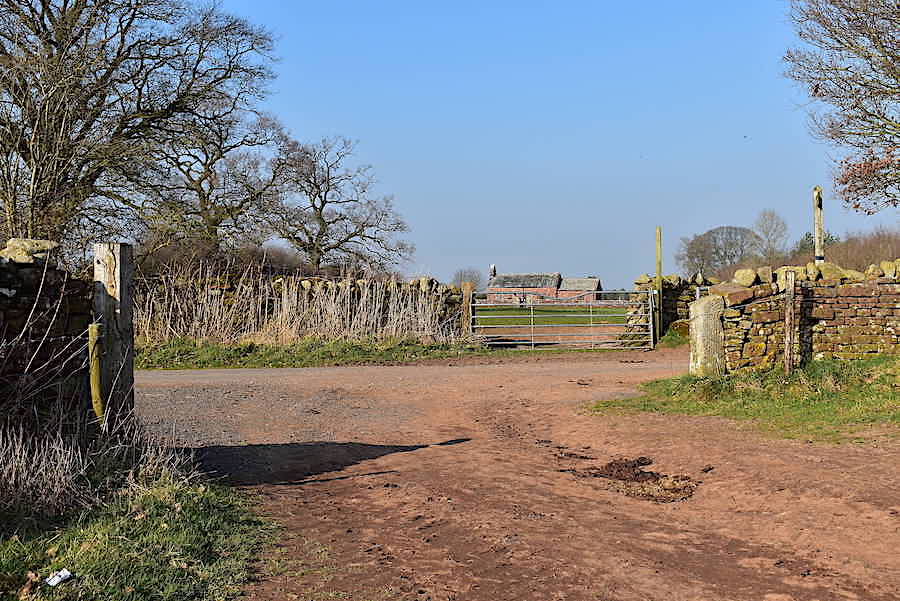
At the end of the field we cross the road leading to Maughanby Farm and go through the gate on the other side …..
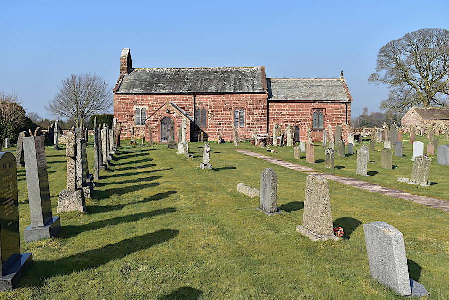
….. heading for the little church of St Michael and All Angels, Addingham. On our route map the location of the church is indicated by a cross with that word written next to it. From the map it is clear that the church stands isolated and there is no village called Addingham nearby. In 1160 the River Eden changed its course and the church and the village were swept away, along with any parish records, in the resulting floods so this is not the original church. A list of subsequent rectors and vicars begins later in 1272 so the church, then known as St Mary’s Chapel, was eventually rebuilt, and then modified several times over the years, and became the building which stands here now.
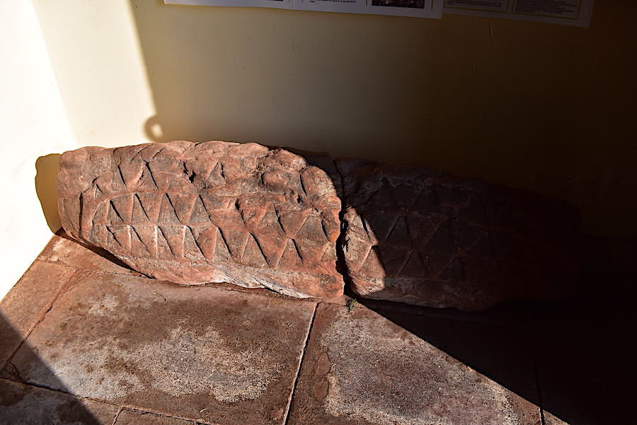
During a drought in 1913 several artefacts were discovered on the river bed and returned to the church. In the porch is this piece of Anglo-Scandinavian stonework, known as a hogsback tombstone. The curved ridge and outwardly curving sides, decorated with stylised ‘shingles’, are thought to be Norse in origin and would have been placed over a burial tomb, in effect forming a roof over the grave and serving as a grave marker. It is thought that this type of marker originated about 920 AD but they seem to have fallen out of favour by the beginning of the 11th century.

These two stones also hang in the porch and the literature mentions that during the drought two cross shafts were also brought from the river bed and are also in the porch.

The way they are presented in the porch seems to suggest that they belong together and once formed part of a standing cross but that’s just a guess on my part.

Its a very pretty church inside and very well looked after. Even though it no longer has its own village services are still held regularly, and baptisms, weddings and funerals also take place.

There’s has a decent church organ too so let’s hope there’s a good organist to do it justice.

Looking towards the font at the back of the church from the altar …..

….. and a closer look at the baptismal font.
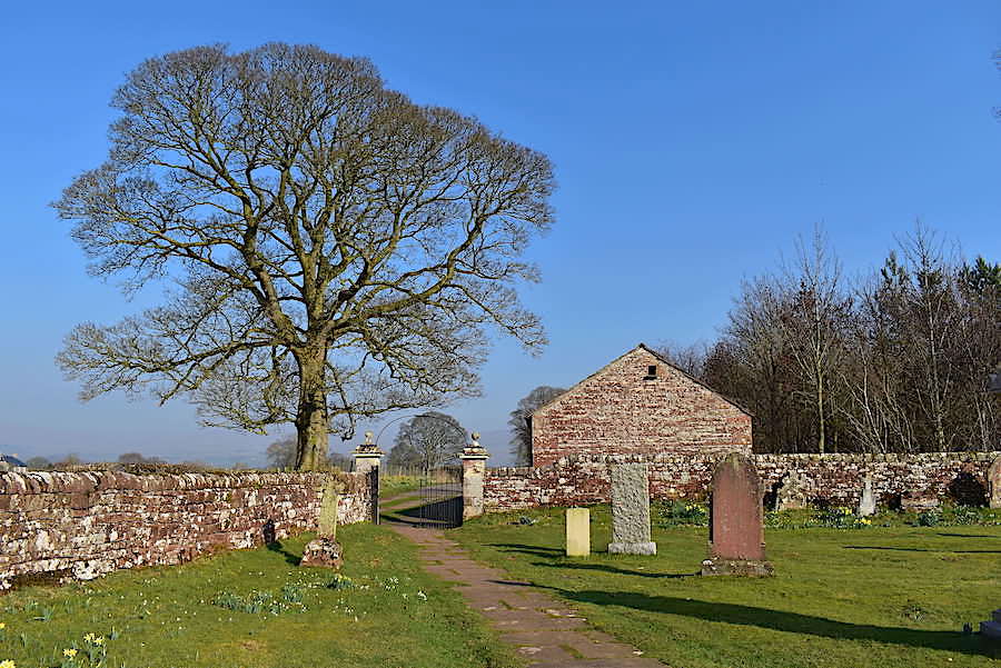
After our look round the church we walk around the side of it towards the gate where …..
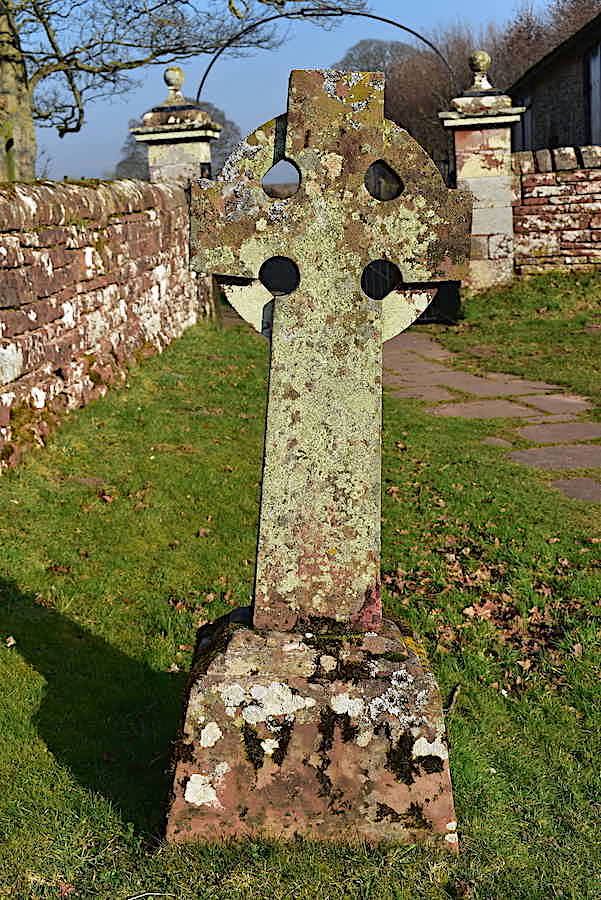
….. just in front of it is this 10th century Anglo-Saxon wheel head cross. We wondered if this was found among all the ruins and rubble after the flood subsided.
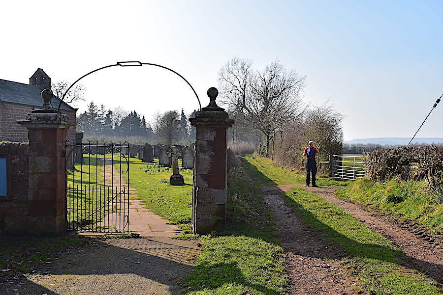
Once through the church gate we make an abrupt left turn and continue along this track which leads us through …..
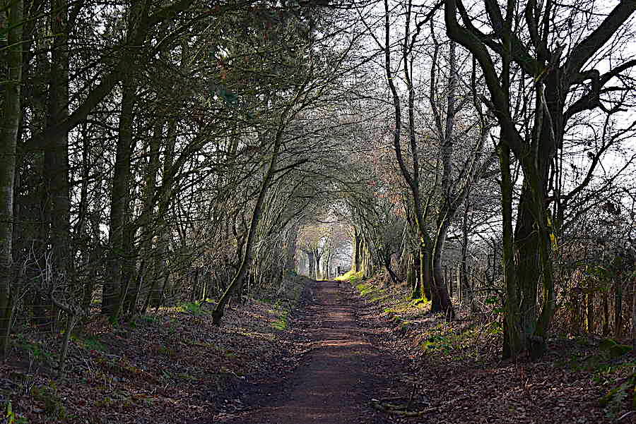
….. a stretch of dappled woodland with the shade and the slight breeze coming towards us dropping the temperature a degree or two …..
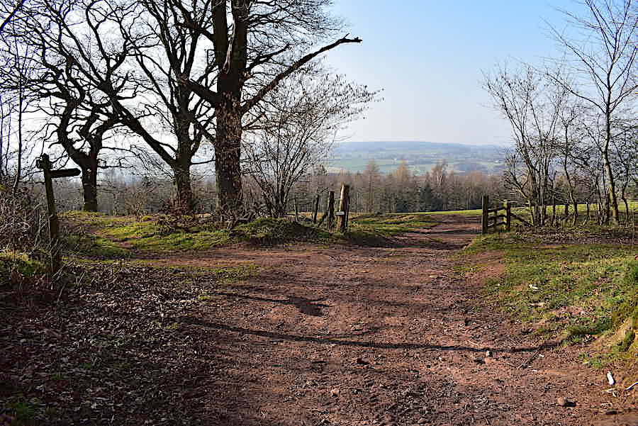
….. so it was very nice to get back into the sun once again and let the goosebumps on my bare arms subside. We turn right at this junction …..
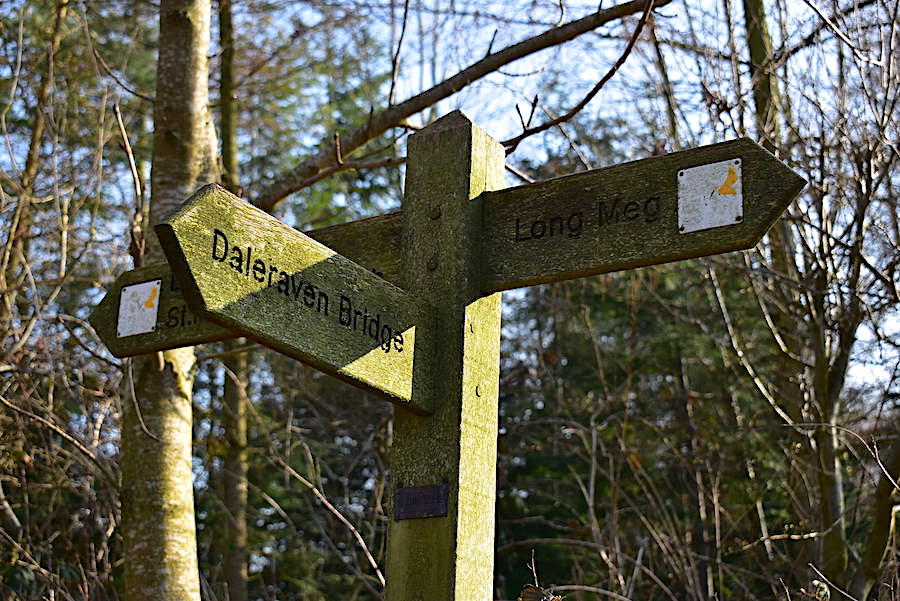
…..heading for the intriguingly, and charmingly, named Daleraven Bridge.
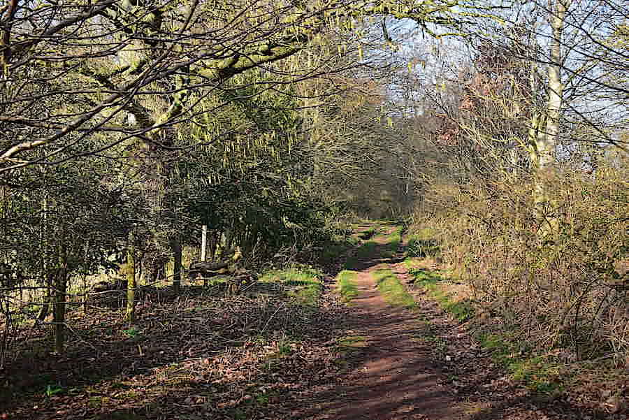
More lovely woodland walking through Eden Lacy plantation where our presence had a few pheasants and wood pigeons getting themselves into a bit of a flap. It wasn’t quite so shady along here either so the temperature stayed steady.
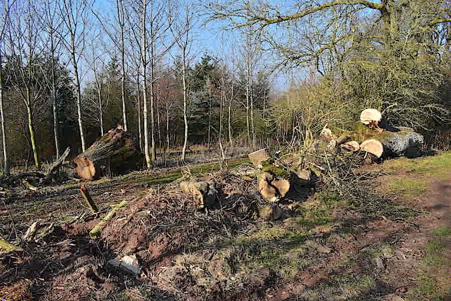
A recent fall by look of things so last October’s storms were probably responsible. The base of the fallen tree is over on the left but the main part of the trunk has been sawn off and shifted over to the right. There must have been a mighty strong wind up here to fell a tree that size.
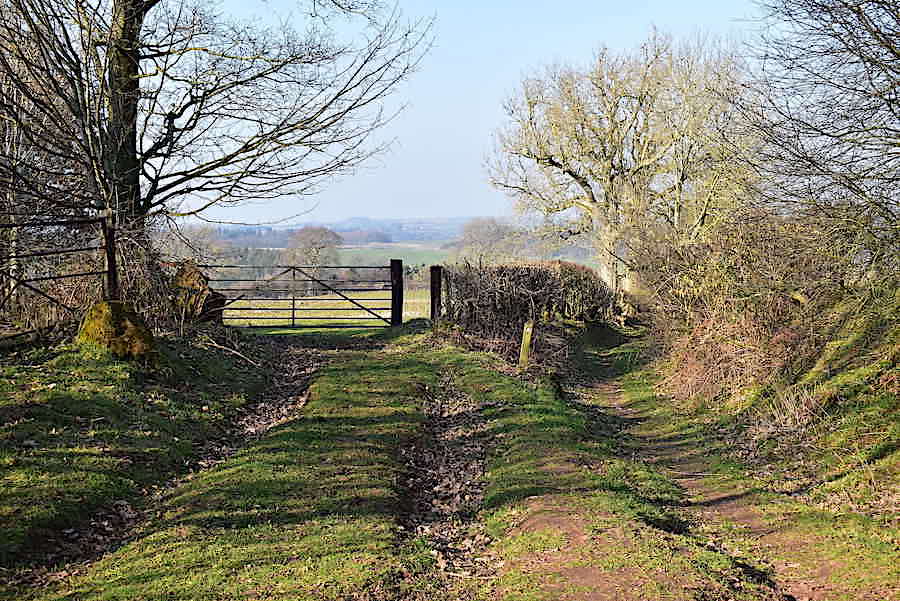
The wide track eventually veers off towards the field gate and the footpath narrows …..
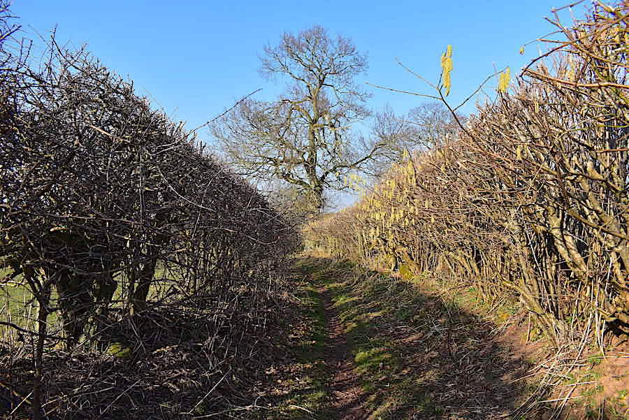
….. to single file traffic. Massed ranks of creamy hazel catkins were hanging from the twigs and branches all the way along and the hedge was so high that even J, at 6′ tall, couldn’t see over it.
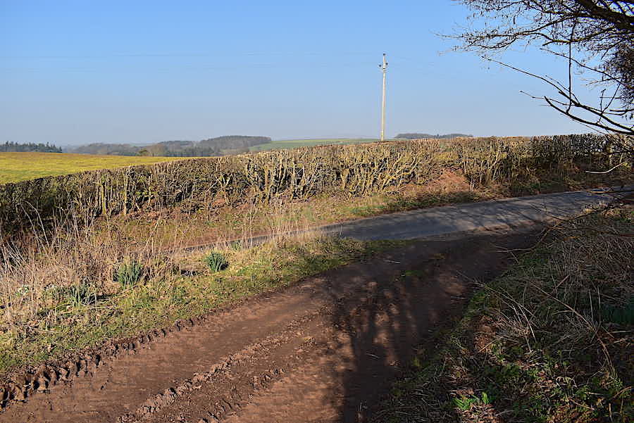
The footpath comes to an end and joins the road coming in from Glassonby village so we take a sharp left and follow the road for a short distance.
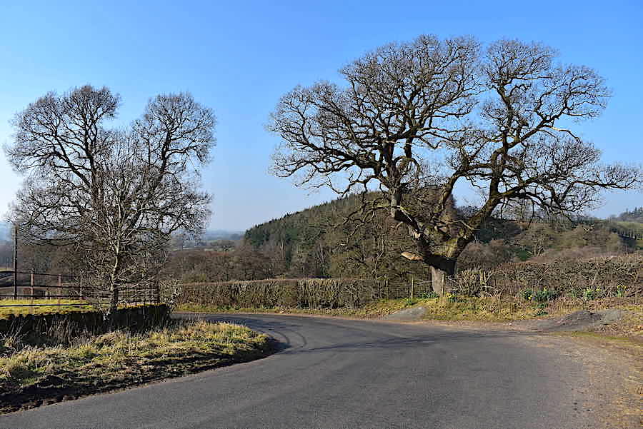
Two grand old oaks line the route as we make our way down to …..
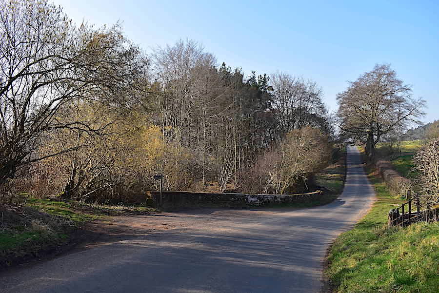
….. Daleraven Bridge which we do not cross, instead taking a sharp left hander at the footpath sign …..
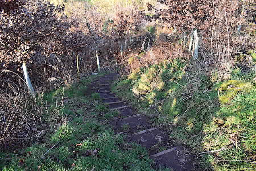
….. and immediately begin climbing the earth steps up the steep banking …..
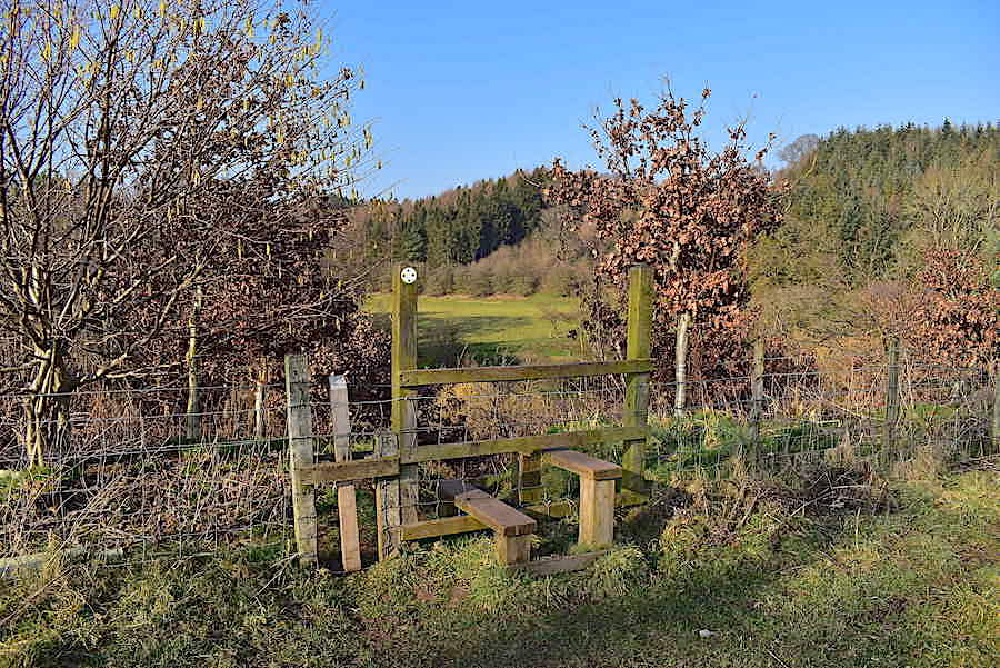
….. and cross this stile at the top. Behind me is …..
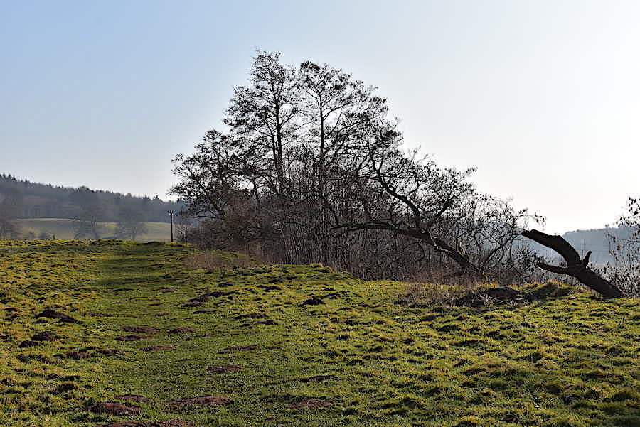
….. this grassy path leading us over to …..
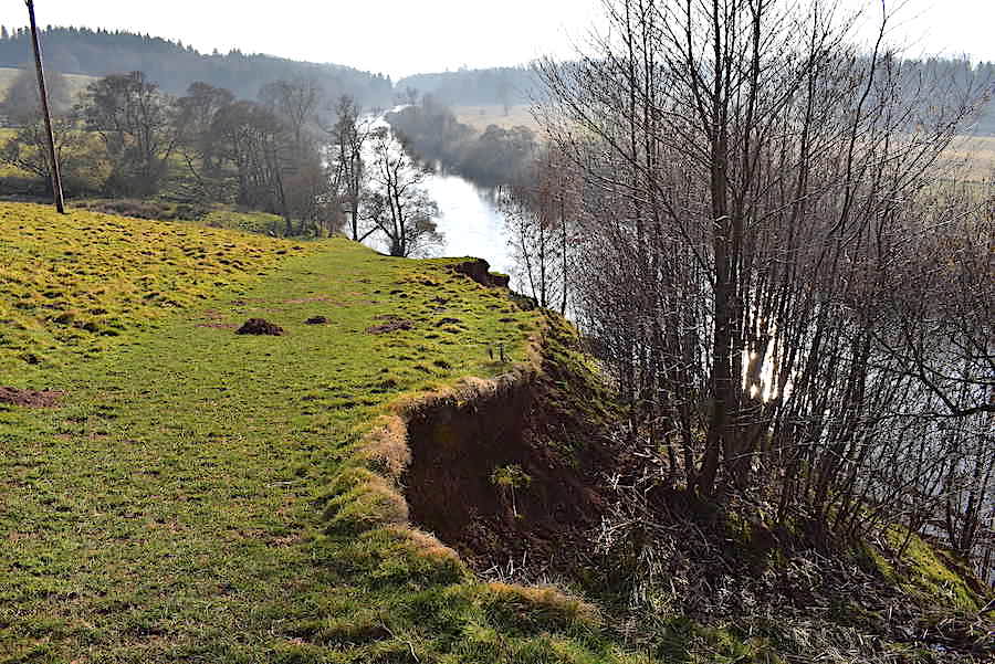
….. the top of this steep embankment where we gaze down at the River Eden flowing along quietly below us.
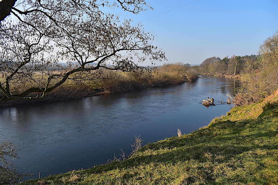
From the lovely riverside stroll a look back along the river flowing silently along to Carlisle and eventually into the Solway Firth.
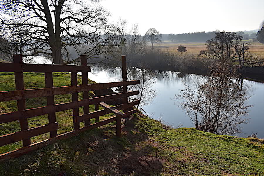
Before crossing the first of several stiles and entering Tib Wood …..
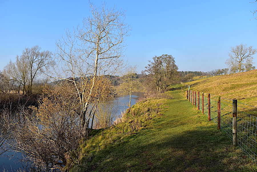
…. a look back at the path, below Kirk Bank, with the tranquil river beside it.
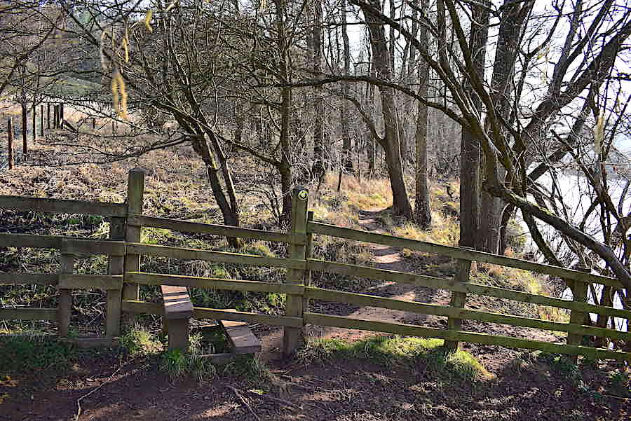
One of the stiles along the path through Tibs Wood and a good dry path to walk along.
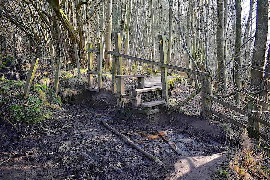
Unfortunately there were several places where the path degenerated into a quagmire, this being one of them. Previous walkers have laid down pieces of wood to assist progress which helped to some extent but getting across was a messy affair nevertheless. We haven’t had any rain lately so perhaps this particular spot is always wet and muddy. Beyond the stile a sturdy boardwalk has been installed but …..
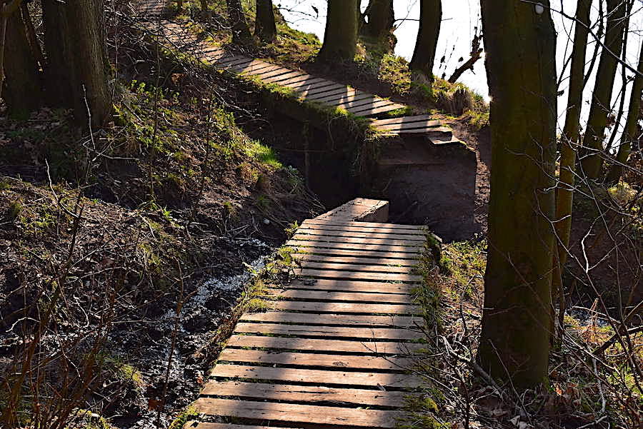
….. maintenance is required at a few points along the way, especially here where the boardwalk crosses a watery ditch.
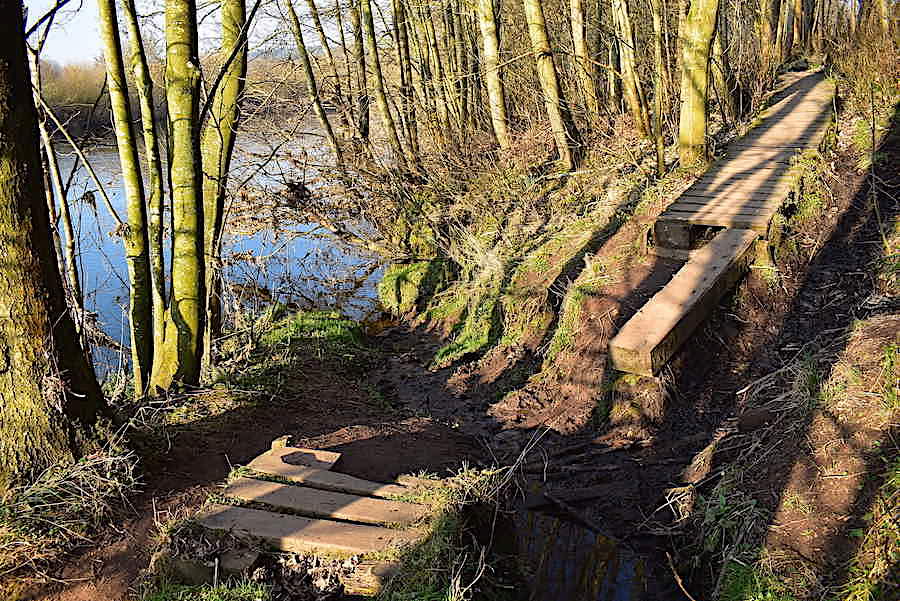
The whole thing has collapsed but J’s legs were just about long enough to get him across without having to step into the mire. My little legs stood no chance so I scrabbled around the side of the ditch until I found an easier, and mud free, crossing point. I don’t know who has the responsibility for the upkeep of the route but its a shame it has been allowed to fall into such a state. This was probably the worst patch but there were others which would also benefit from a bit of attention.
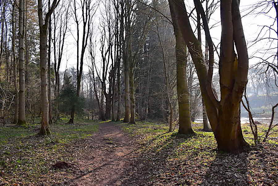
The route levels out again and, as we carry on through the woodland, we begin to hear sounds coming from the river.
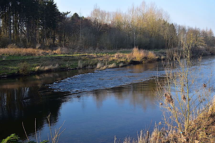
An arc of flat rock forming a natural weir was the source of the sound. It wasn’t at all noisy, just a subtle breaking of the silence as the water trickled over it.
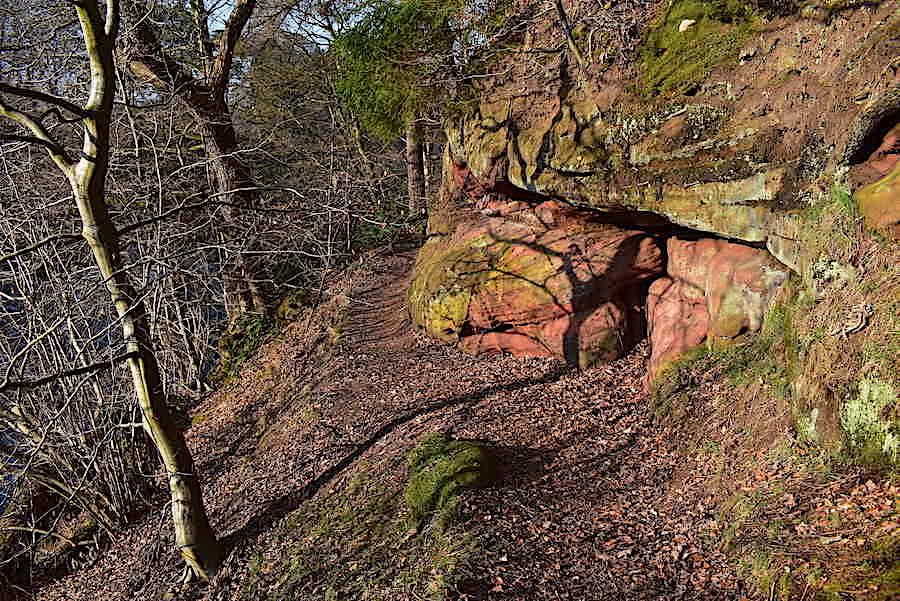
The path begins to climb higher above the river and the appearance of red sandstone cliffs gives us a hint of what is to come. This is a look back at the cliffs with the path descending behind me.
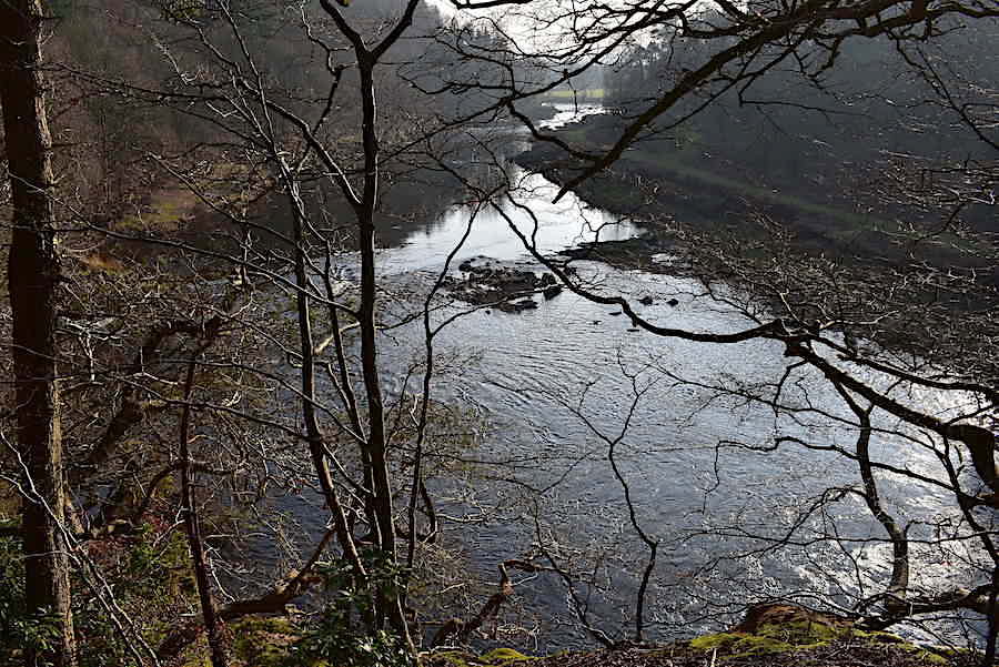
Before the path begins to drop down sharply once again I took this look up river where a cluster of more prominent rocks had the water splashing over them, a lot more noisily than before.
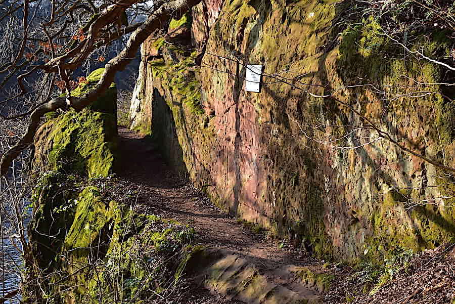
The path drops back down to the riverside but before we carried on towards it we turned off to the right and made our way over to view Lacy’s Caves. The notice warns visitors to be careful as some of the caves open out over steep drops.
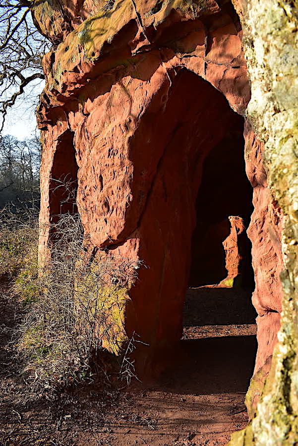
The caves were created by one Samuel Lacy, a Lt. Colonel in the Cumberland Militia, born into a well off family in the mid 1700’s. His wealth allowed him to purchase property on the banks of the Eden and to begin developing his new acquisition. He resided at Salkeld Hall, in Little Salkeld, and the estate acquired the name Eden Lacy.
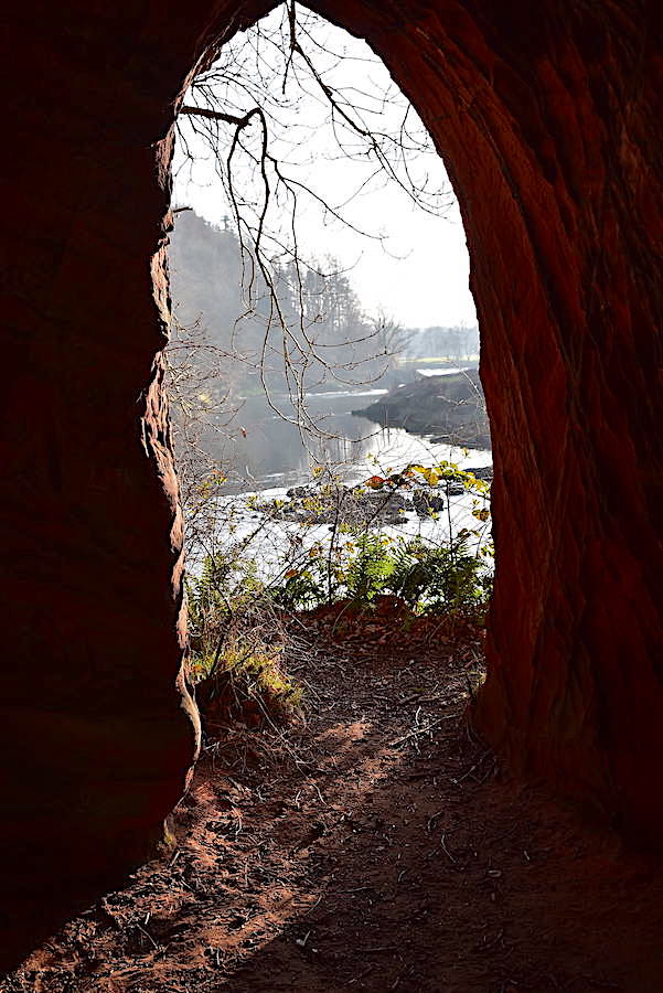
As rich chaps did in those days, he set about improving Salkeld Hall and then turned his attention to creating the caves with lovely river views and surrounding gardens where he could entertain, and no doubt impress, his guests.

I think there were five caves, some of them very dark inside, but each providing a slightly different view of the river. The sunlight flooding in through the various archways emphasised the deep red of the sandstone.
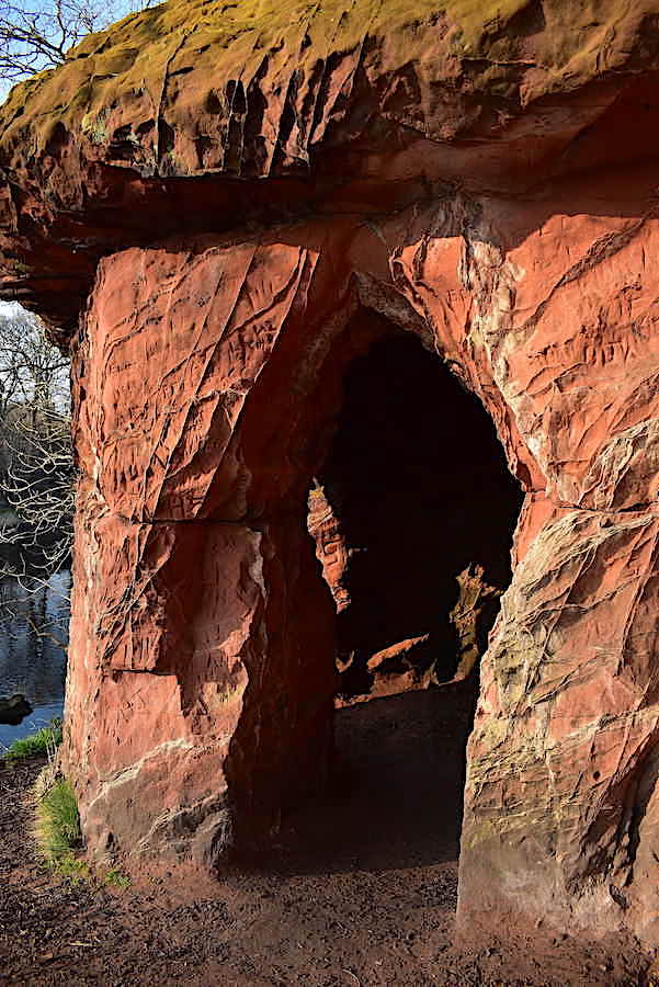
Apparently Col. Lacy would employ a fake hermit, who would pretend to be living in the caves, thus creating a little bit of romanticism with which to further impress his visitors.
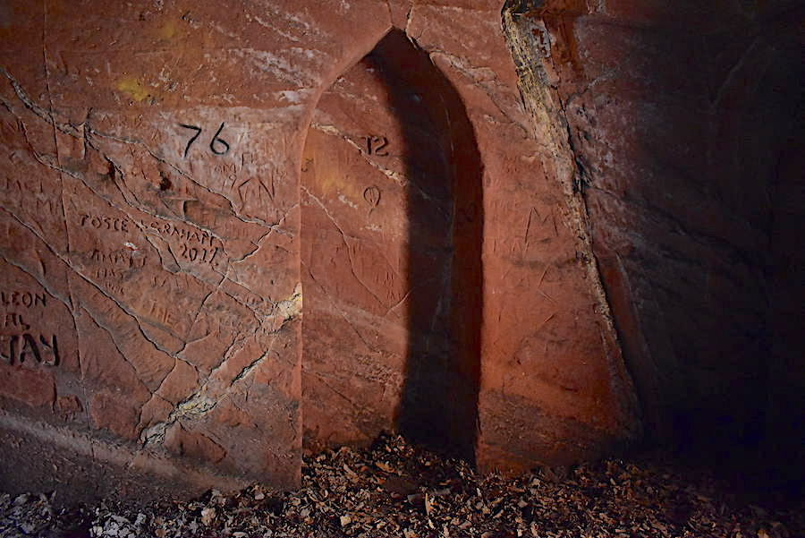
The camera flash comes to the rescue in one of the very dark caves and highlights the graffiti which has accumulated over the years. Curious archways, which serve no obvious purpose, have also been carved into the walls, perhaps to create a religious or spiritual aura and heighten the sense of mystery.
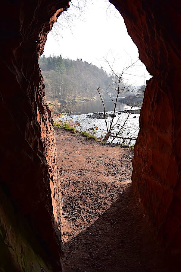
A tantalising glimpse of the river through one of the cave entrances. You would think that a man with this kind of romantic vision would have been happy to have had Long Meg and her Daughters as near neighbours, especially as the stones are ancient and have such mystical stories attached to them, but by all accounts that seems not to have been the case. Apparently he decided to demolish the circle by detonating gunpowder beneath the stones and blowing them up. Legend has it that, as work was about to begin, a thunderstorm occurred. The local workmen, who would know all about the tales of magic and mystery of the stones, took this to be an ill omen and left, without a stone being damaged.
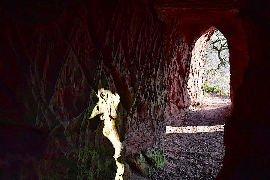
The men may have had qualms about blowing up the stone circle but they obviously set to with enthusiasm when creating the caves with the roughly hewn walls still bearing the imprints of whatever tools were used to gouge out the soft stone. A fascinating place where you can let your imagination run riot for a while, or scare yourself silly.
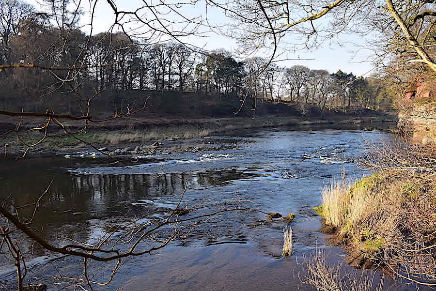
We return to the river bank again and take a look back along the river, the caves are just in the shot over on the right.
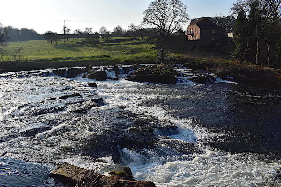
Continuing on through Cave Wood with the sound of the river becoming ever louder we eventually arrive at another natural, and much larger, weir. Another arc of rocks, much bigger and taller than the previous one we saw, had the river forcing its way across them and creating a tumultuous roar as it did so. After the peace and tranquillity of the earlier stretches of the river it was quite a surprise, and a deafening one at that. The building opposite is Force Mill and I wondered if its residents ever resorted to wearing ear plugs.
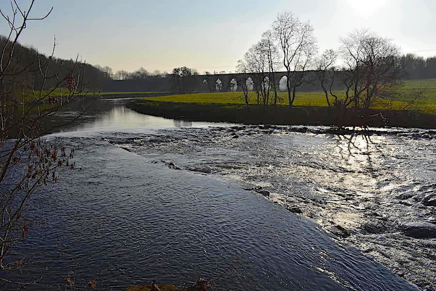
Another arc of rocks just above the previous one so there’s a long stretch of water disturbance to listen to before the tranquillity returns once again. Even though the decibel level was tremendous it was fascinating to watch and I wondered if the river level ever drops low enough to see what the weir really looks like without the water pouring over it. In the distance is one of the viaducts of the Settle-Carlisle railway line.
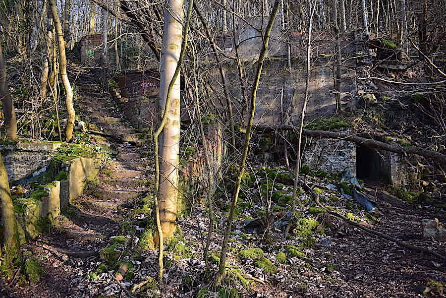
Continuing along through Cave Wood we eventually arrived at the long abandoned buildings of the Longmeg Mine. Underground mining began around 1880 although surface quarrying had been carried out a few years before then. It closed in 1915 only be re-opened in 1922, and was sold yet again, in 1939, to a company which eventually became British Gypsum. The mine finally closed in 1979 having produced over five million tons of anhydrite during its operational life. Not much remains of the mine other than these crumbling buildings and a few vestiges of old railway track but we went up the steps and had a good look around anyway.
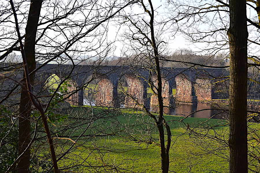
A zoom in for a shot of the sunlight illuminating the arches of the viaduct.
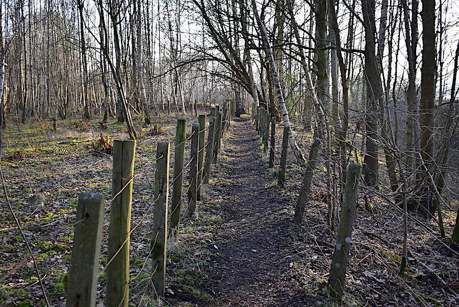
As I turned away from the viaduct back to the path once again I could see two chaps coming towards us at the far end, one of whom turned out to be a friend of ours who runs the local music group which we play in every week. He was as surprised to see us as we were to see him and neither of us knew that the other was planning to walk around here today. Quite a remarkable coincidence which brought to mind the scene in the film ‘Casablanca’ where, after the surprise of seeing an old flame come into his bar, Bogart says to Sam, the piano player, ‘Of all the gin joints in all the towns in all the world, she walks into mine.’ Same thing, just a different scenario. He and his mate were going to have a look round Lacy’s Caves so I expect we’ll be having a natter about our respective visits when we meet up again next week. At the end of this earth path we had to weave our way around an electricity sub-station before joining the lane leading back to Little Salkeld.
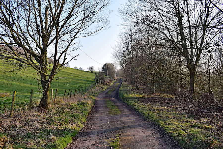
The walk back to the village passes through open countryside above the Settle-Carlisle line out of shot on the right and …..

….. along the way we came across this which is a representation in miniature, created from old bricks which presumably came from the crumbling mine building, of the course of the River Eden. The blue paint indicating the river’s journey has faded a great deal but hints of it are still there.

The installation begins here with the name of the first village …..
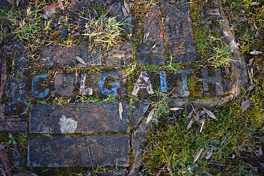
….. Culgaith, where we often enjoy a very good Sunday lunch at The Black Swan.
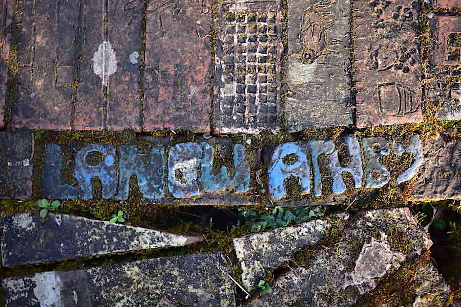
The next village is Langwathby, a Norse name meaning ‘the village by the long ford’. We haven’t tried The Shepherd Inn but the menu looks OK.
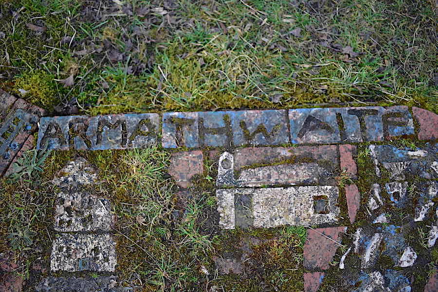
The last one I could find is Armathwaite which also has a couple of pubs but as we’ve never been to either of them I have no idea what they are like.
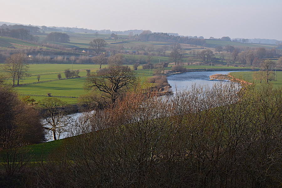
The path rose gently as we got closer to the village so it was a good opportunity to take a look back along the river flowing through the lovely Eden Valley …..
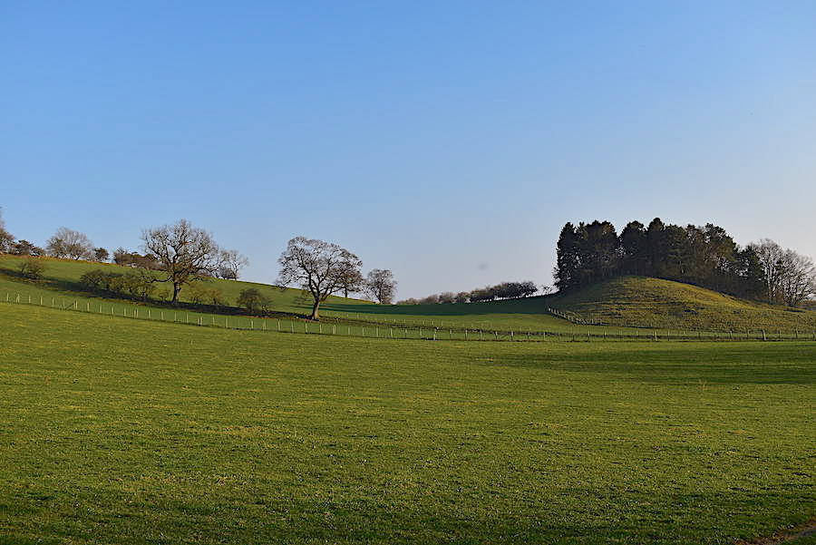
….. and the gentle slopes of the surrounding countryside.
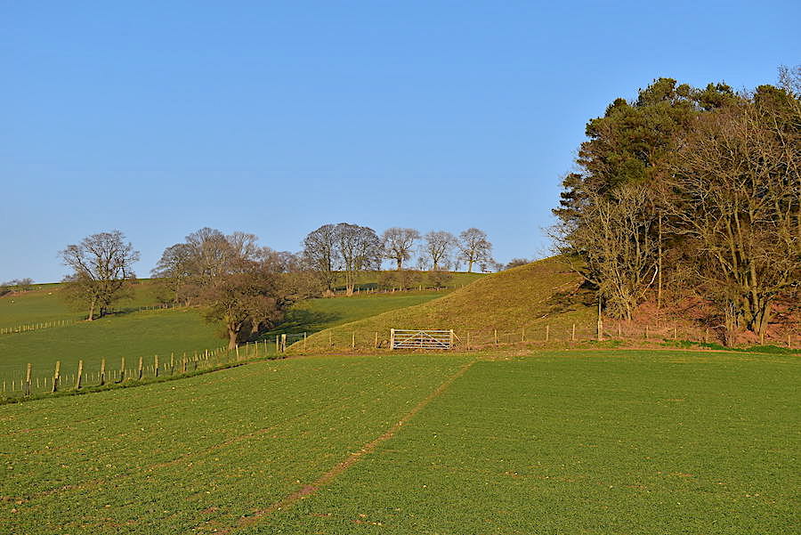
The afternoon sun bathes the tranquil fields in a soft glow …..
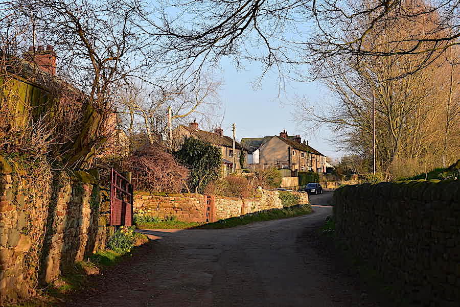
….. while back in Little Salkeld the sandstone walls have turned a vibrant deep orange. After just a short walk through the village …..
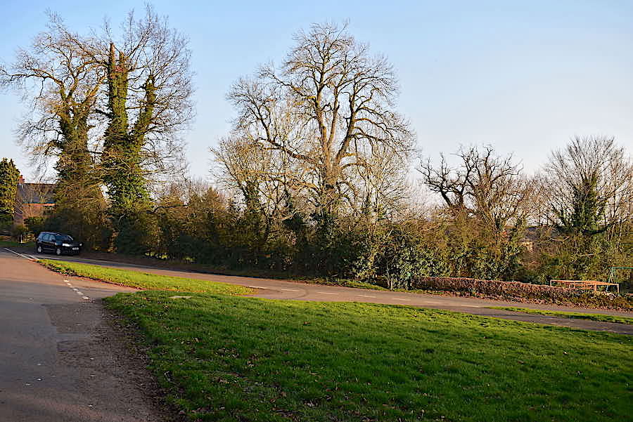
….. we arrive back at the little parking area at the top of the village. At the entrance to the village there is a working mill, tea room, bakery and shop and we would have visited that too, but we couldn’t today because its closed on Wednesdays. It would have been very nice to treat ourselves to tea and cake in the tea room just to round off a lovely afternoon, and to keep us going until we go out for a meal tonight. See, I told you I wasn’t going to do anything but enjoy my birthday and preparing and cooking an evening meal doesn’t count as enjoyment, well not in my book anyway, its just a routine chore so I’m looking forward to the rest of my day off because I’ll be back to reality tomorrow.
