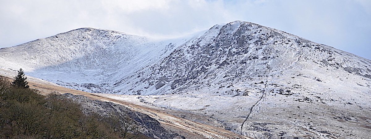
Out and about at Thirlmere
Date – 20th February 2020
Weather – cold, windy and very changeable
No route map, no mileage, and only a few photos, so not really a walk report because we didn’t do much walking. We only drove over to Thirlmere this afternoon just to get out of the house for a couple of hours. The rain eased off about lunchtime and the cloud began to break slightly so, having spent the past eight days confined to barracks and being in desperate need of something to look at other than rain and hail running down the windows, we decided to have a drive around and just have a change of scenery. Although not as destructive as Storm Desmond in 2015, Storms Ciara and Dennis deposited substantial amounts of water onto already very wet land so, unsurprisingly, all the becks and rivers are full to bursting, flooded fields are everywhere and the ground is utterly saturated, a couple of weeks of dry weather would be very welcome. I guess the rest of the UK’s citizens would wholeheartedly agree with that as well.
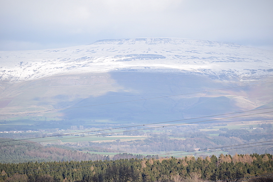
Heading towards Penrith on the A6 and an opportunity to get out the long lens for a closer look, across the Eden Valley, at Cross Fell, the highest point on the Pennines. Views across the valley have been very restricted lately as low cloud has obliterated everything so it was nice to have the view once more, especially with the covering of fresh snow.
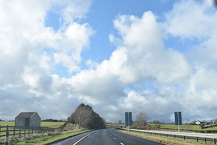
Travelling westward on the A66 having been tempted out by the breaking cloud and the appearance of blue skies …..
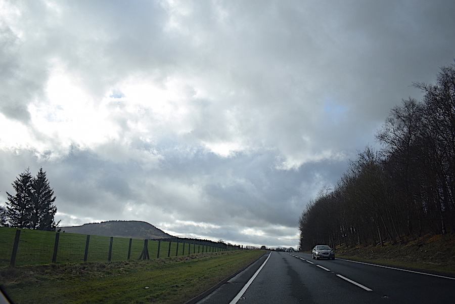
….. but, as so often happens, the further west we travel the darker the clouds become and the blue bits begin to disappear …..
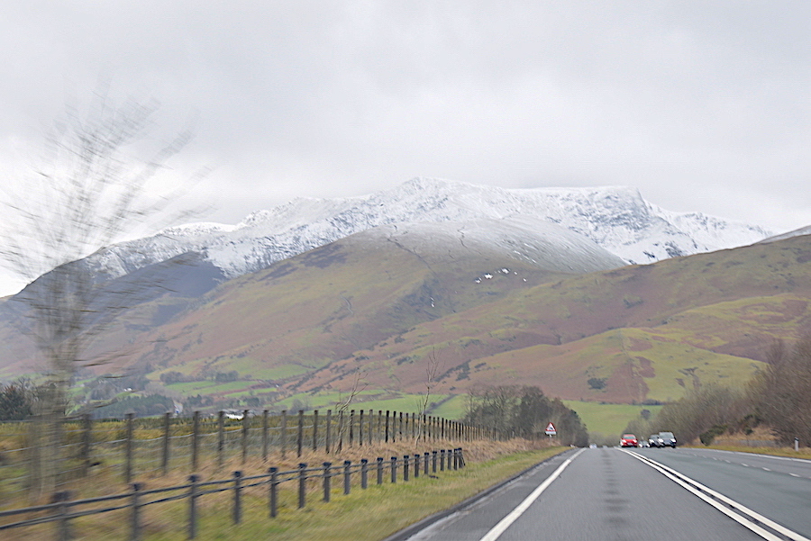
….. and by the time we approach Blencathra the cloud cover is almost complete once more.
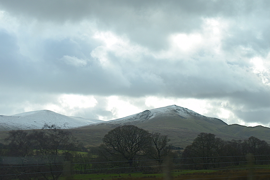
Through the car window to our left Clough Head, with just a scattering of snow, comes into view. The car does not have tinted windows, the clouds really were that dark.
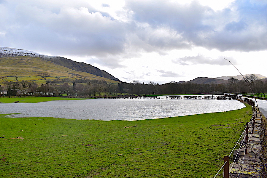
We turned off the A66 onto the minor road through St John’s in the Vale. I braved the cold, blustery wind for this shot and actually got out of the car! Flooding a-plenty all the way along the Vale ……
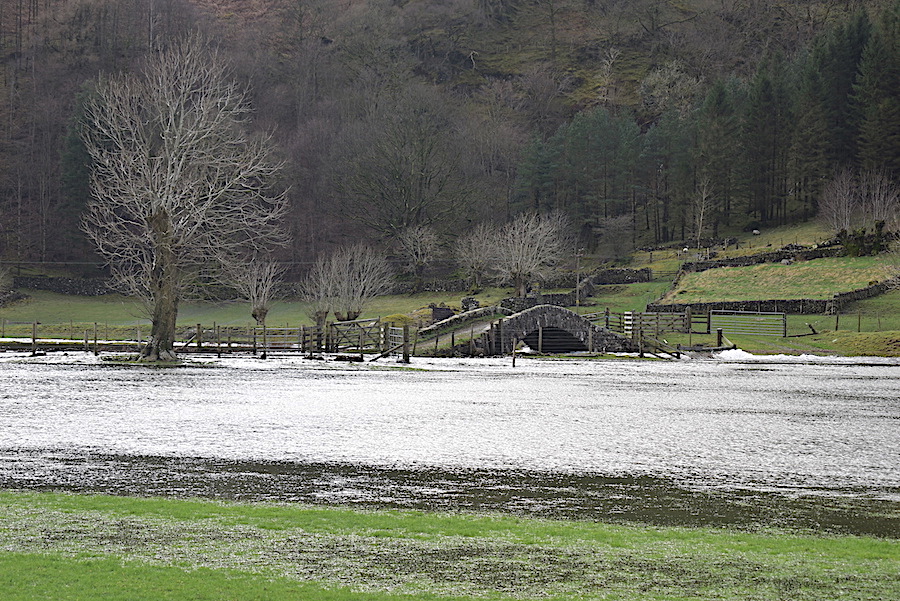
….. Sosgill Bridge over St John’s Beck, still high and dry, although the footpath leading to it was completely submerged …..
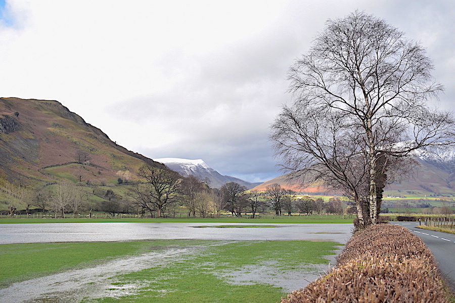
….. a look back along the Vale from the same place towards Lonscale Fell which is also sporting a fresh covering of snow …..
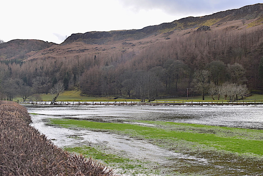
….. also from the same spot a look ahead at more flooded ground above which are the wooded slopes of High Rigg.
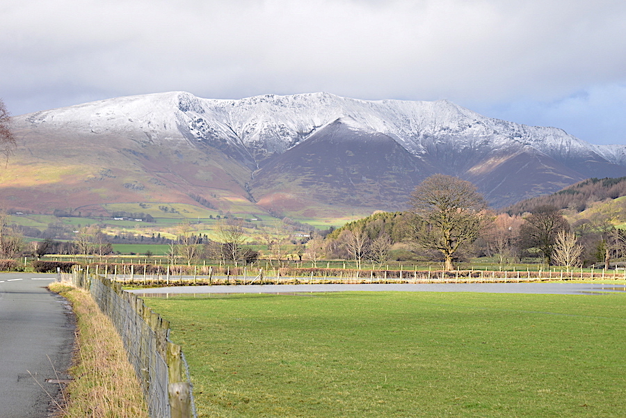
I crossed the road for a better view Blencathra with its icing topping.
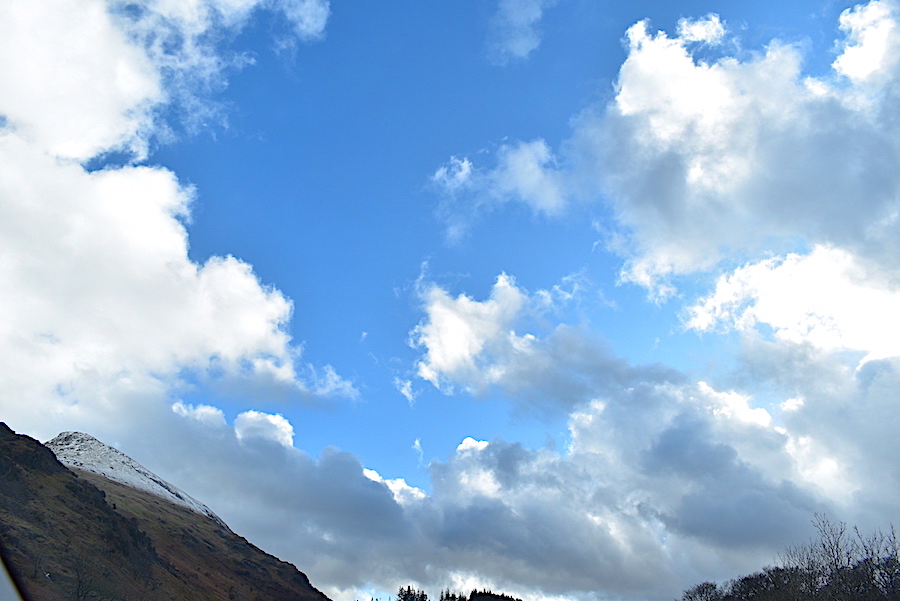
Back in the car again and we carry on along the A591 towards the south end of Thirlmere where we then turned off at West Head. The skies brightened up again but …..
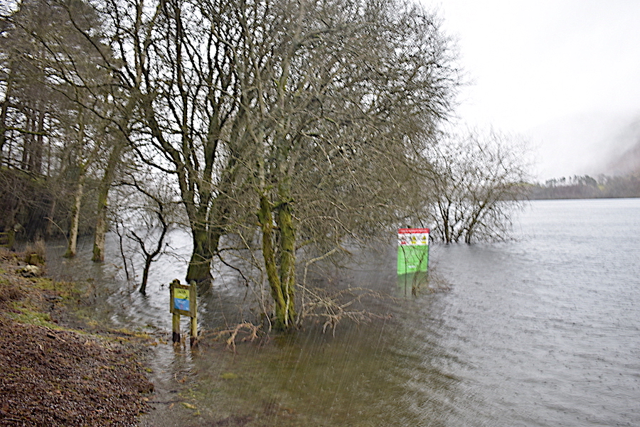
….. after parking in the Armboth car park and walking the few steps down to the shoreline we were the unwilling recipients of a sudden hail shower which bounced ice pellets down on us, just as we experienced in Kentmere last week. The large green notice board is sited on the shore and, under normal conditions, is well away from the water. Conditions are a little abnormal at the moment though and the water level is very high. The diagonal lines at the centre bottom of the shot are the ice pellets streaking down not scratches on the lens.
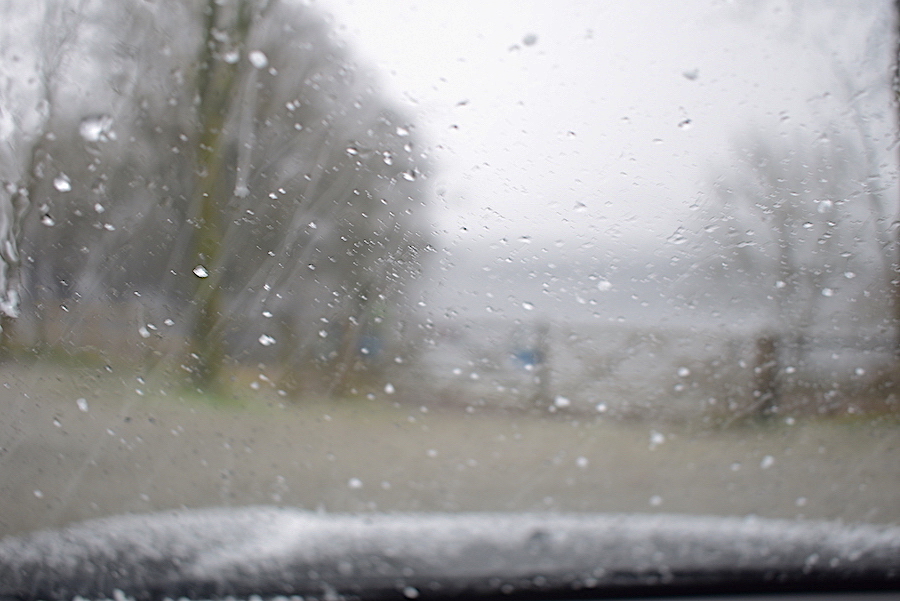
From the warmth of the car, through the ice pellet spattered windscreen, you can just about see the gate from where I took the previous shot. As we drove along to the Armboth car park we saw a chap, just a couple of hundred yards back, carrying a canoe through the woodland down to the water. Right now he might be wishing he’d waited a while before launching it.
No its not an out of focus shot, just the car windows slowly misting over as we sit out the hail shower.
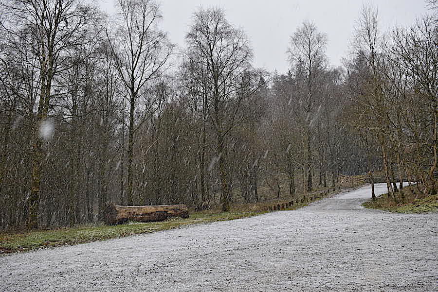
A car park view as the hail falls thick and fast and the ground is covered in a matter of seconds.
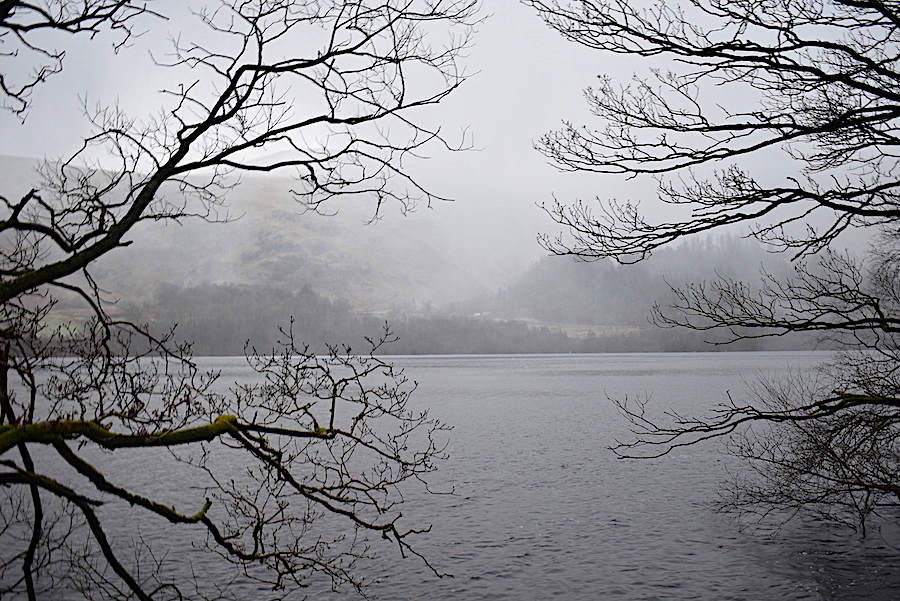
The shower eventually passes over and heads southwards along the water so out we got and strolled a few paces over the shoreline path. The view is across the water towards the Swirls car park …..
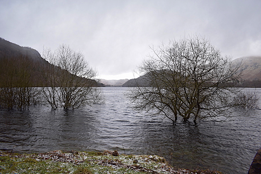
….. this view is looking northwards where some brightness is appearing over Lonscale Fell and Skiddaw. The trees in the foreground are normally part of the shoreline.
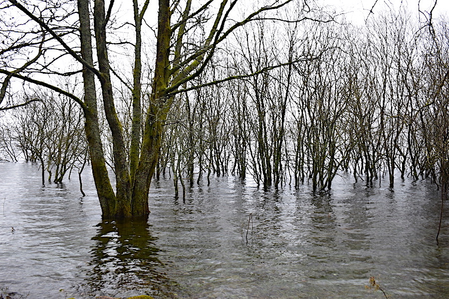
Not the Florida Everglades, just a temporary submersion of Thirlmere’s woodland shoreline and way too cold should any alligators be considering relocating.
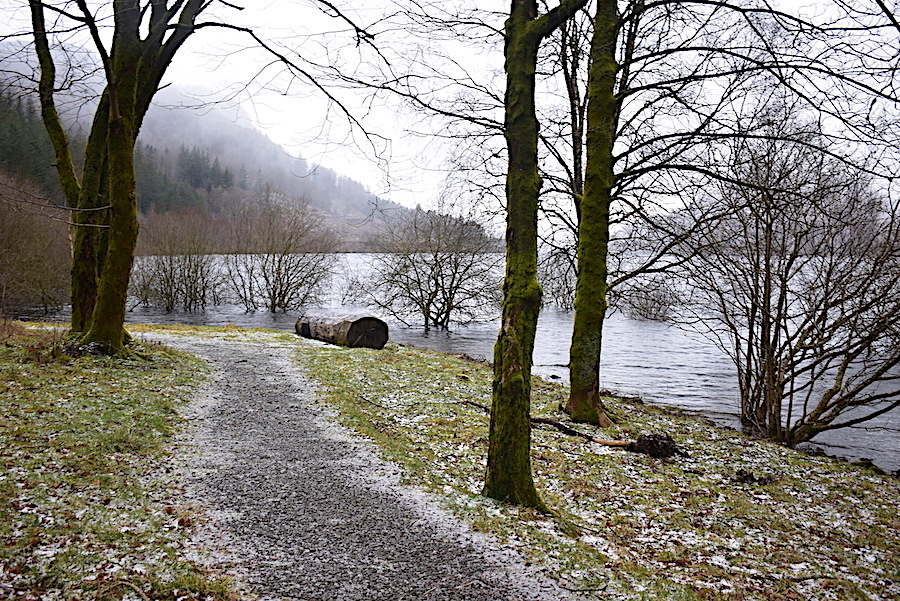
When the laid path ended we turned around and walked back to the car. Beyond the gravel path we could see a muddy morass of a path leading on through the woodland and as we hadn’t bothered with boots we gave that a miss.
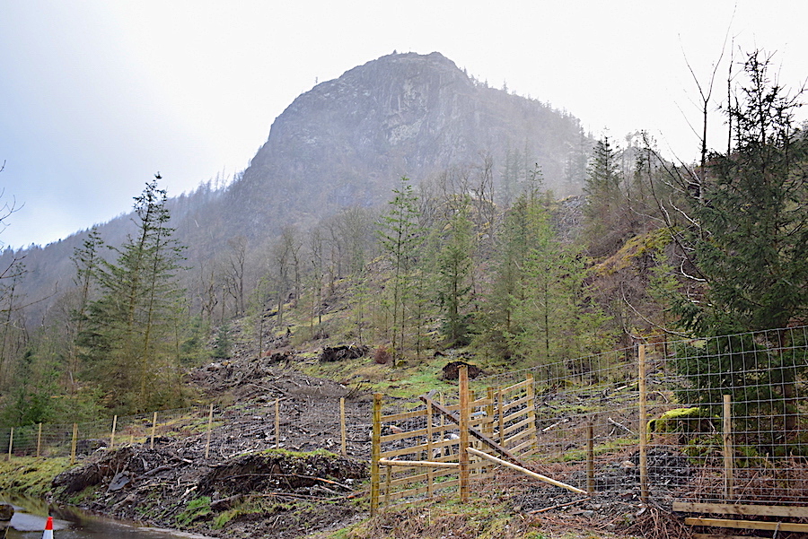
Back in the car and we drove on a little further to the lay-by just beyond the road junction. The road leading across the dam is still not open to traffic but vehicles can still drive straight on and reach the A591 at the Smeathwaite end of the road. No further hail showers seemed to be approaching so we got out and had a look around. Lots of tree felling has taken place and the start of the old footpath up to Raven Crag through the forest is now marked by a tall gate in this newly erected fencing. The old footpath sign can be seen propped up against the fencing. There was a further rectangle of fencing a little way up the slope so we went up to see what was there. It turned out to be a long rectangle of concrete with a few manhole covers set into it, so it seems as though it must be some kind of inspection facility.
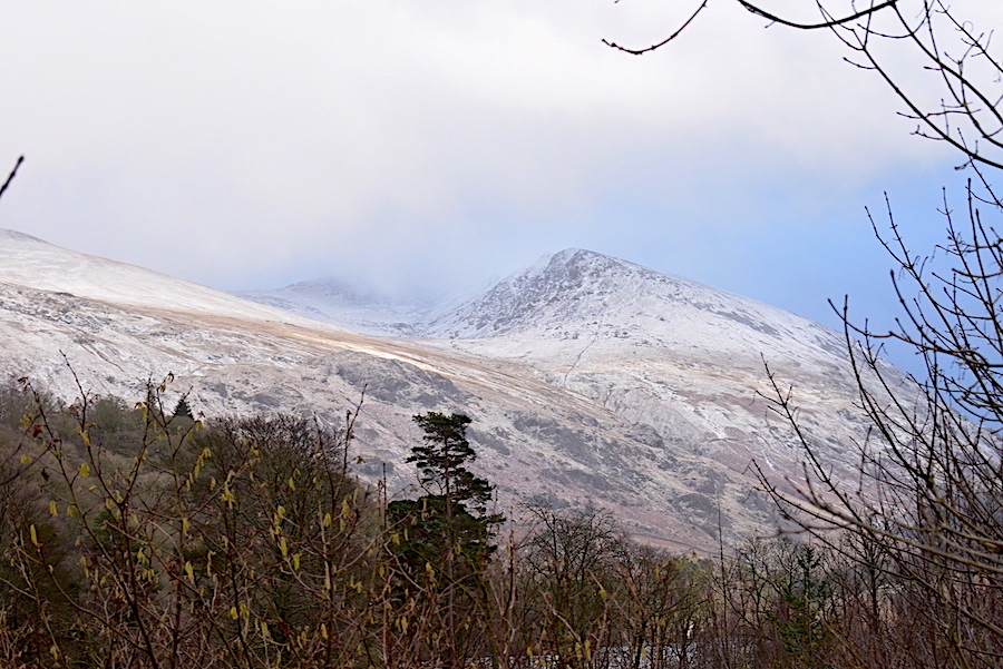
Curiosity satisfied we carried on down towards the dam with this view of Brown Crag, plus a cloudy glimpse of White Side, on the way over.
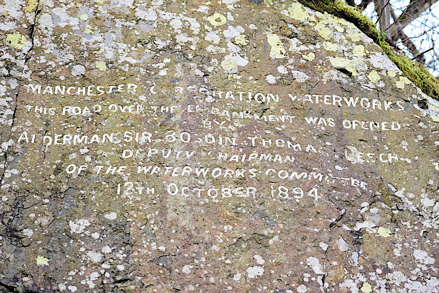
High up in the rocks of the road cutting is the inscription which marks the opening of the road, by Alderman Sir Bosdin Thomas Leech, Deputy Chairman of Manchester Waterworks Committee, on 12th October 1894.
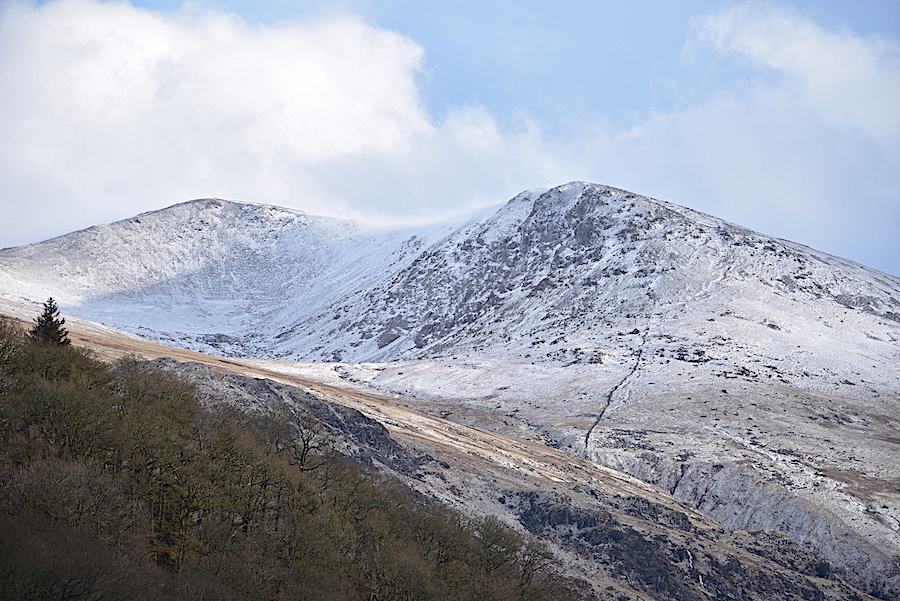
We had a little blue sky spell while we were down at the dam which gave me a chance to get the long lens out for a closer look at Brown Crag and White Side …..
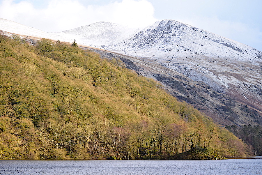
….. and then it was back to the standard lens for this longer view of the same two fells, by which time a lump of cloud had rolled in and obliterated some of the view.
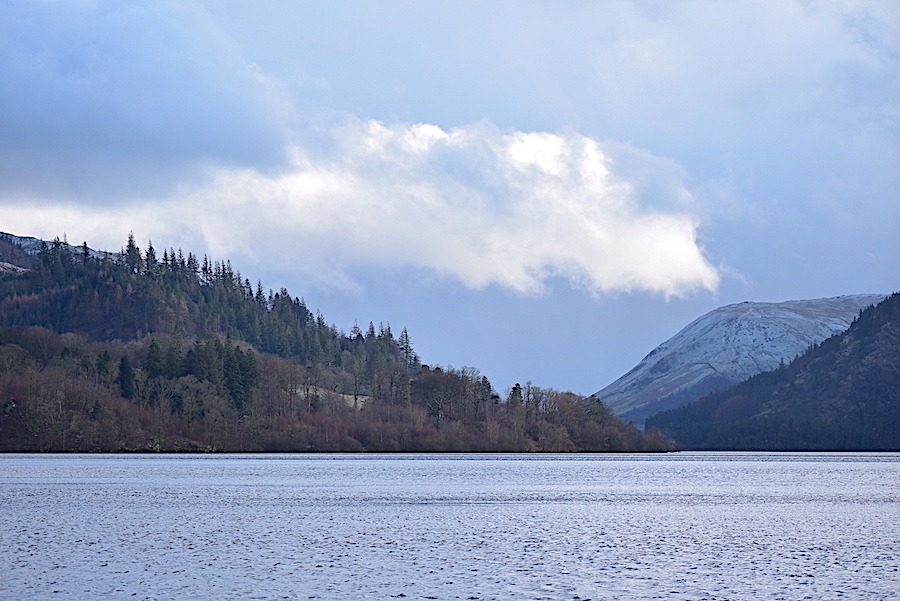
Looking southwards along the water for a shot of a very chilly looking Steel Fell …..
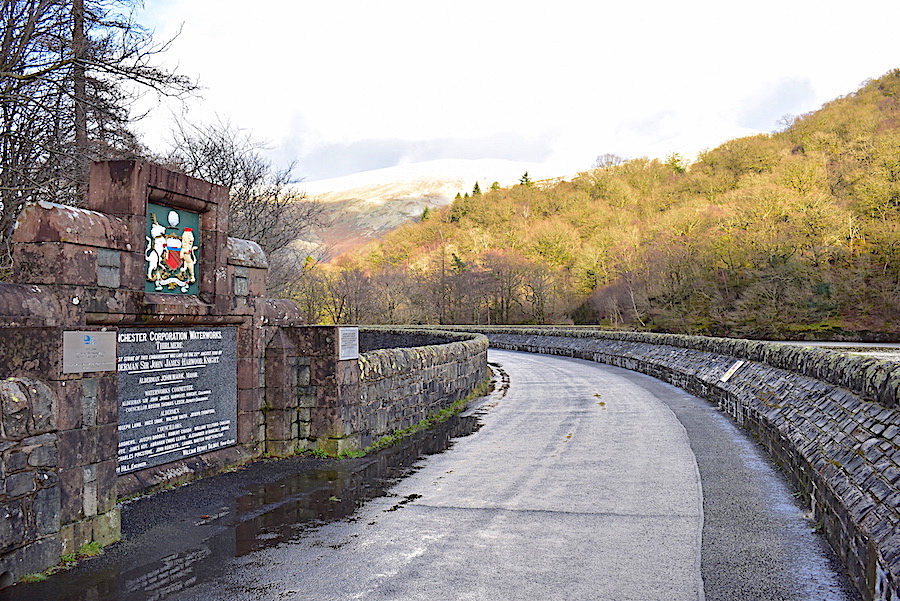
….. and then a view along the road from the rather grander commemorative plaque which marks the laying of the first stone of the reservoir embankment on 22nd August 1890. Alderman Bosdin Thomas Leech gets a mention on this plaque too. A big fancy edifice to mark the laying of the first stone while four years later the opening of the road only gets an inscription on a rock, out of sight high above the road. Wonder what the Alderman thought of that? Budget overspend perhaps?
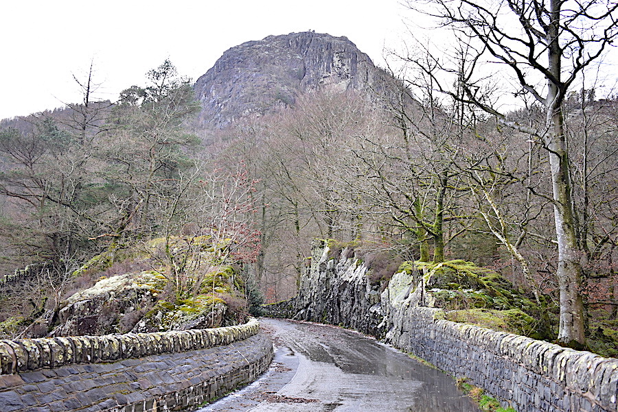
We turn around and begin the walk back to the car with Raven Crag directly ahead. Should you wish to see it the inscription, re the opening of the road, is on the top of one of those rocks on the right hand side as you look at the shot.
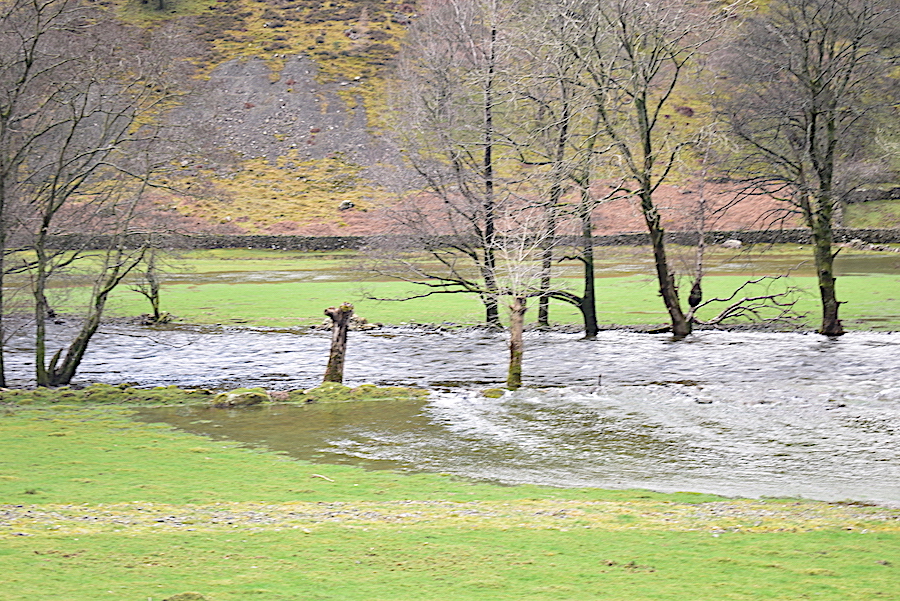
Back on the St John’s in the Vale road now, at Low Bridge End Farm, where St John’s Beck is full and fast flowing …..
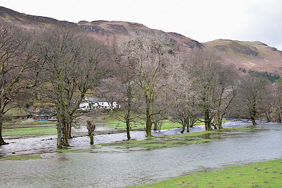
….. but the flooding and the damage looks not to be as extensive as it was when Storm Desmond wreaked its havoc …..
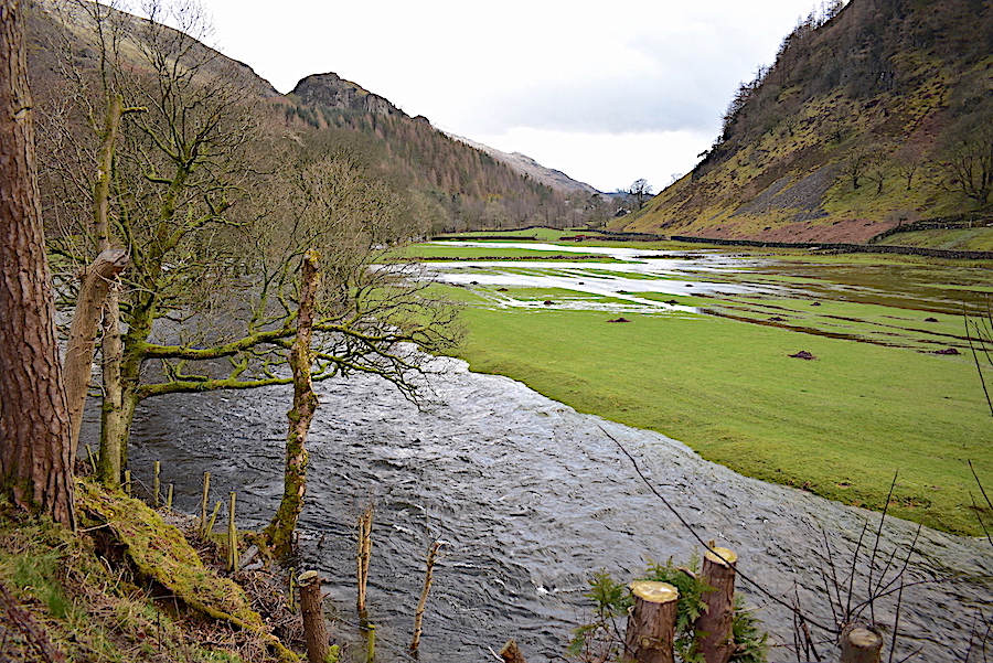
….. and the beck seems, for the most part, to have been confined within its banks which were built up and strengthened during the repair work carried out in 2016. The flood water on the fields is probably down to the torrential rain falling on flat and already waterlogged ground rather than the beck bursting its banks.
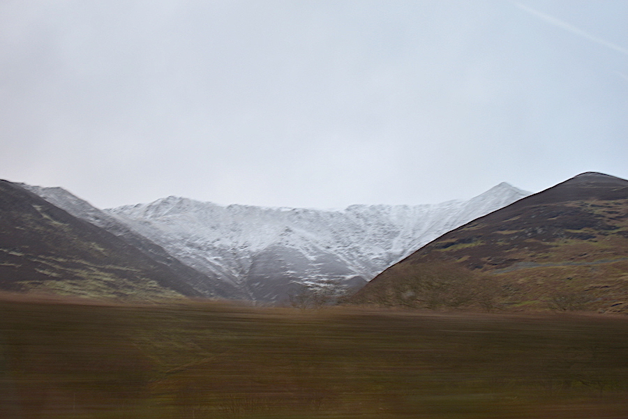
A lucky, if a bit blurry, shot of Blencathra as we passed by it on the A66 when we were homeward bound.
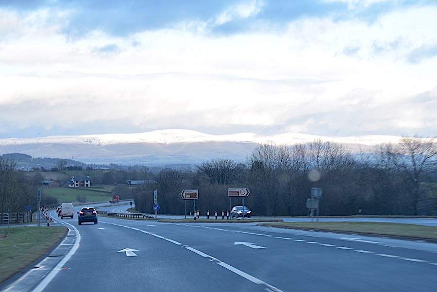
On the A66 and heading towards Penrith and home when a burst of sunlight pierced the clouds and lit up the snowy Northern Pennines for a few minutes, which was lovely to look at while it lasted. By the time we were ready to turn off the A6 into the Eden Valley the cloud had descended and we couldn’t see the Pennines at all, sunlit or otherwise. Ah well, not a proper walk but it was still good to have this couple of hours outdoors. When will the next opportunity present itself I wonder.
