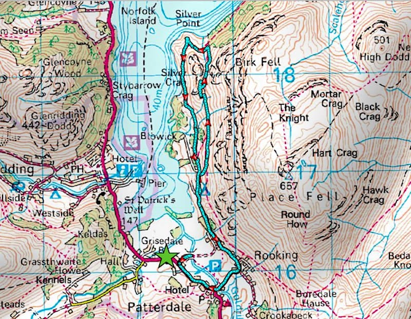
Silver Crag and Ullswater
Walk date – 23rd February 2020
Distance – 5.2 miles
Weather – overcast, hail/rain showers, brief sunny spells, breezy at times
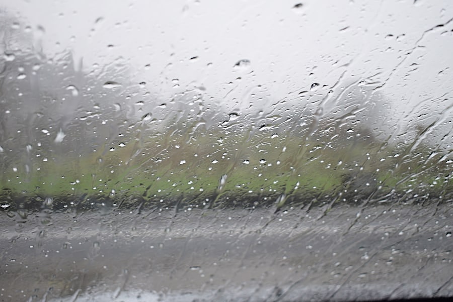
Another short walk today. The heavy overnight rain didn’t stop until midday, which the forecast had more or less predicted would be the case, so with the skies brightening a little we decided to stay local and just nip over to Patterdale to walk along the Ullswater shore as far as Silver Point. We didn’t stay completely hail or rain free during our walk, as will soon become apparent, but for the most part the precipitation held off even though the heavy cloud continued to look threatening. This is a nice little walk and one of those you can take when the weather refuses to play ball. It wasn’t surprising that hardly anyone was around in Patterdale so there were no parking problems today despite our late arrival, and we only met two walkers during the couple of hours we were out.
Route
Patterdale – Goldrill Bridge – Side Farm – Silver Crag – Silver Point – Side Farm – Patterdale
Having driven over to Patterdale in dry and occasional sunny spells the minute we had parked by the George Starkey Hut a lengthy hail shower arrived, seemingly out of nowhere, and confined us to staring at the car windscreen once again. Deja-vu! A chap in the car beside ours was already kitted up and off he went into the hail but was back within five minutes and quickly scrambled into his car once more. When the hail finally moved away he wound his window down as we got out and informed us that the road over to Side Farm was flooded so we went to have a look …..
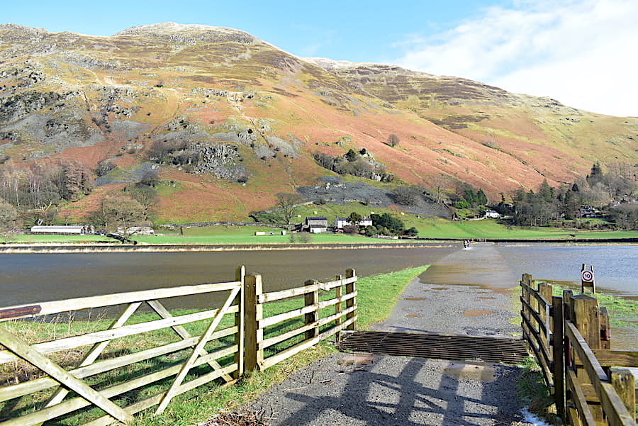
….. the difference in the weather between these first two shots is quite amazing, the hail went somewhere else and sun and blue sky turned up. Its obvious that the farm road was impassable and when the walkers in the shot first began to wade through it they were up to their knees in water.
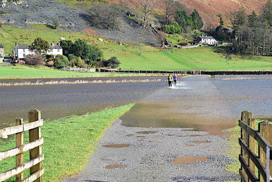
As they drew closer the level dropped to a few inches above their ankles. They were obviously at the end of their walk so I suppose it didn’t matter too much but we were just about to start out so it would have been silly to proceed and walk to Silver Point with our boots full of water. There is a handgate in the fencing on the right hand side and the path from the handgate leads across the fields over to Goldrill Bridge. We would have taken that route had the initial section of the footpath not been flooded too so there was nothing for it but to turn back and walk over to Goldrill Bridge via the road. The guy in the car beside us had driven off but we spotted him again in the lay-by beyond the White Lion pub where he had moved to. He was already kitted up but presumably he had changed his walk plan as we didn’t see him at all during our walk.
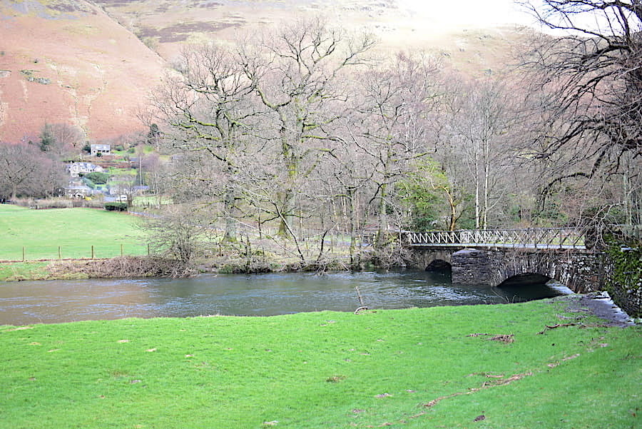
Its not much of a detour and it doesn’t take long before we reach the bridge over Goldrill Beck.
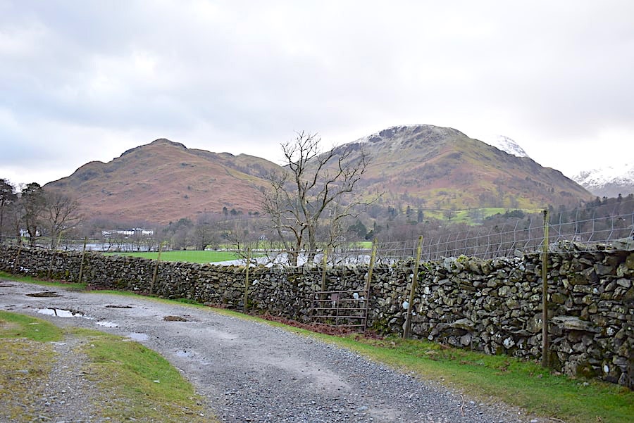
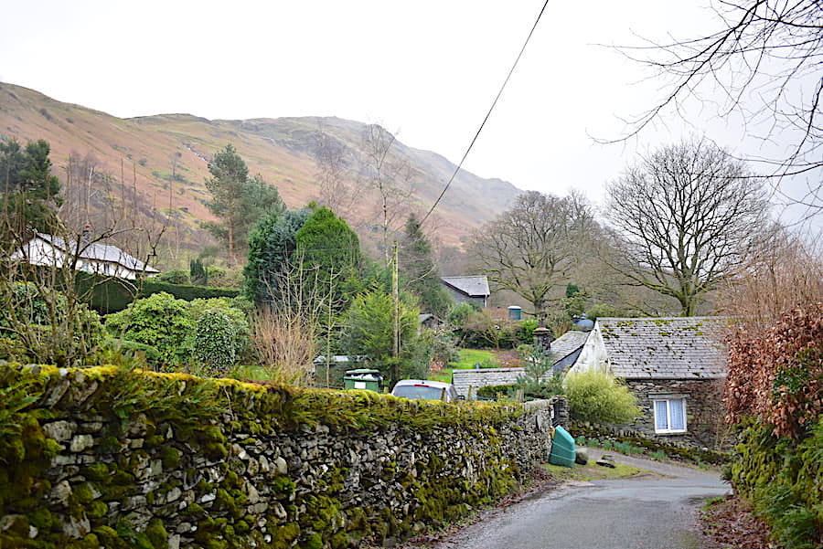
From the bridge there’s just a short walk over to Rooking where the lane divides, we bear left towards the green salt bin and head for Side Farm. The lane in the foreground bearing right eventually leads over to Hartsop, another very pleasant low level ramble.
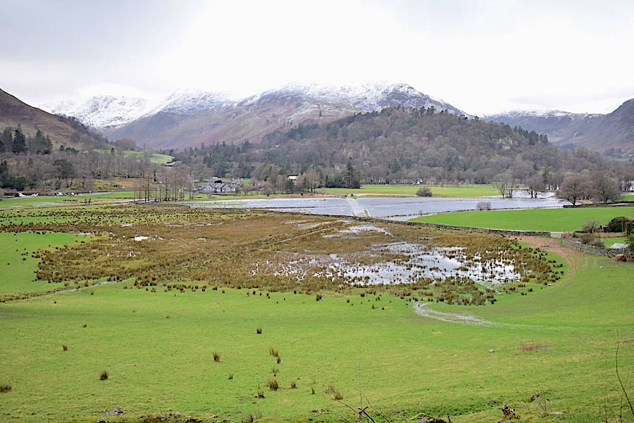
Another view of the flooded farm road, the light coloured strip in the large area of water in the centre, as we walk over to Side Farm. The flat and featureless cloud merges with the snow covered tops of the Helvellyn range as the weather closes in once again.
Heading towards Side Farm with Glenridding Dodd and Sheffield Pike appearing over on the left. Where has that blue sky gone?
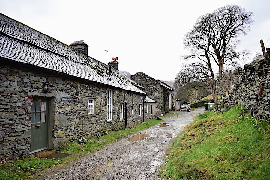
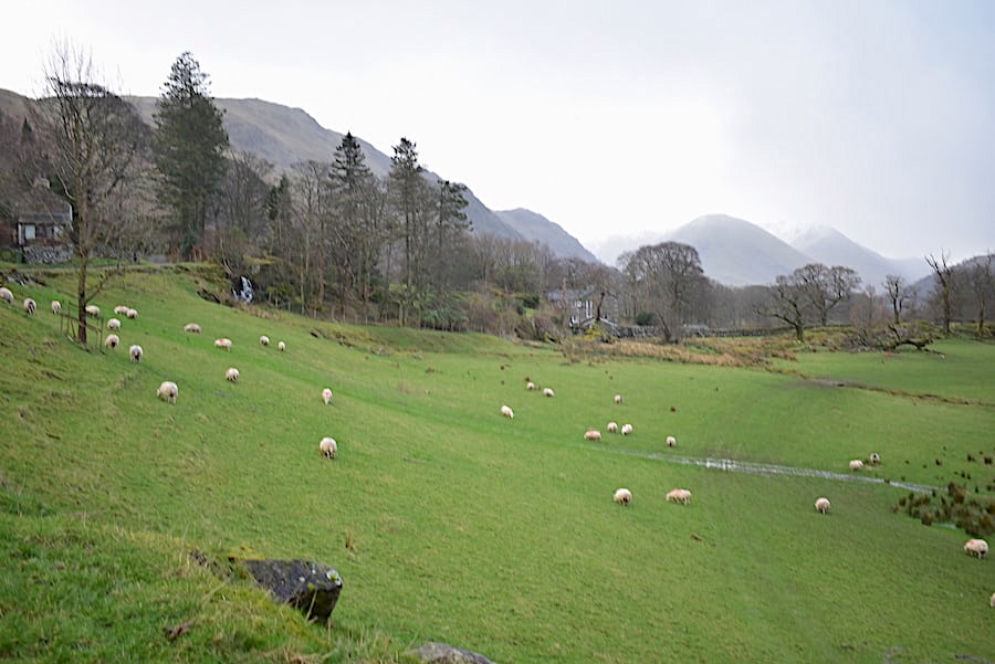
Walking by Side Farm …..
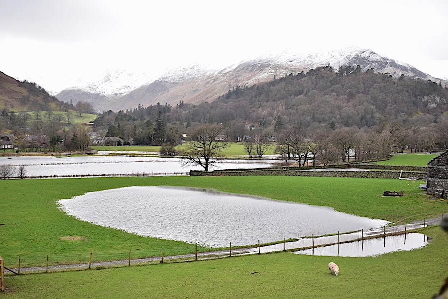
….. and beyond it more flooded fields and even lower cloud over the Helvellyn fells.
Wellies would have been useful along the track beyond the farm, puddles, puddles and yet more puddles. Every beck was gushing torrents of water down the fellsides and into Ullswater which is already overflowing, in places, onto the road between Pooley Bridge and Glenridding.
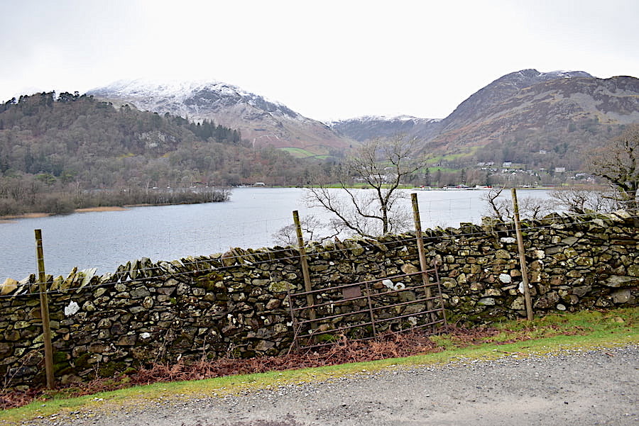
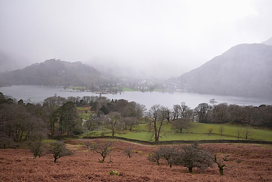
A sombre scene as I take a look across the water towards Glenridding. The steamers were tied up alongside the piers and, because of the high water level, there will be no sailings until further notice. On the way home we noticed that the water was almost level with the jetty at Pooley Bridge.
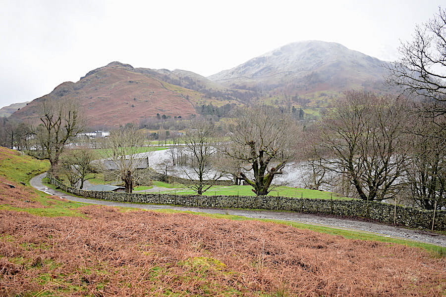
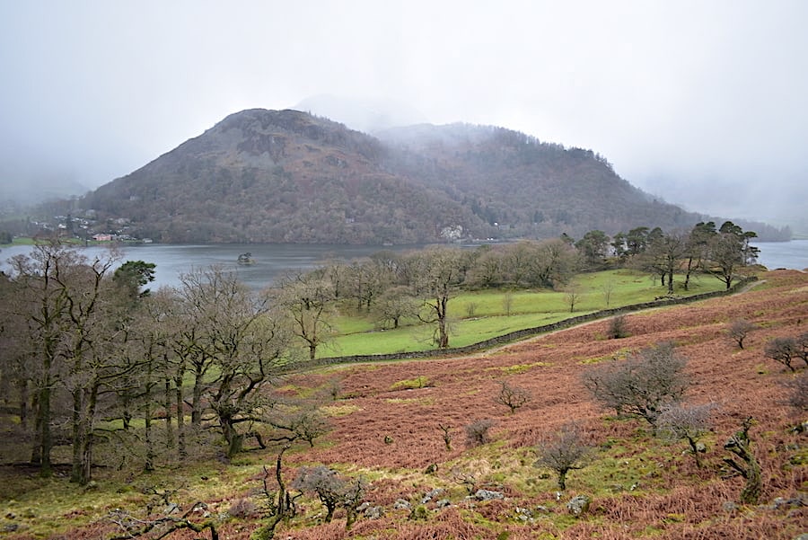
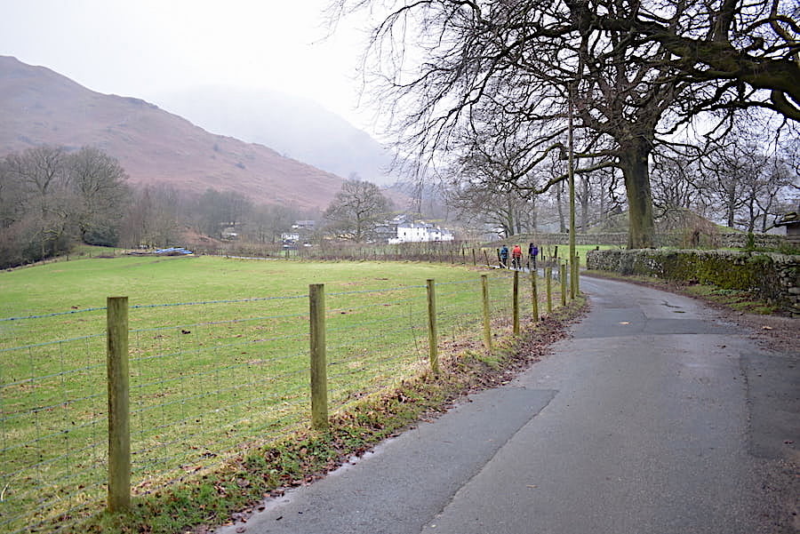
The view back to Arnison Crag, on the left, and Birks, on the right, from a little further along the path.
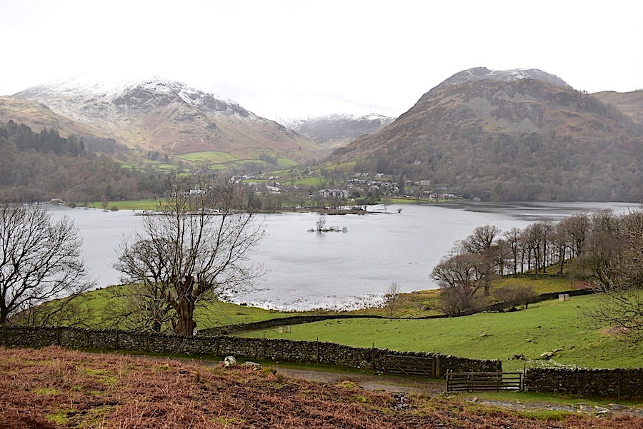
We’re climbing up to a higher path now so we have more of a bird’s eye view of Ullswater. On the far side is Glenridding village flanked on the right by Glenridding Dodd, and on the left by Birkhouse Moor.
I saw from today’s (Monday) Fell Top Assessors report that the winds on Helvellyn were very gusty, with sudden big changes in wind speed and direction with very little warning, and that a number of walkers had been blown off their feet during some wind gusts which were in excess of 70 mph. That and a wind chill factor of -12.8C wouldn’t have been at all pleasant to deal with, but of course I didn’t know any of that as I looked across towards the head of Ullswater. Behind Birks the snowy top of Saint Sunday Crag has appeared with a glimpse of the Helvellyn range to its right and my only thoughts were that any walkers up there would be having very restricted views as the tops were constantly in and out of cloud. Not having much of a view pales into insignificance when struggling against 70 mph gusts of wind.
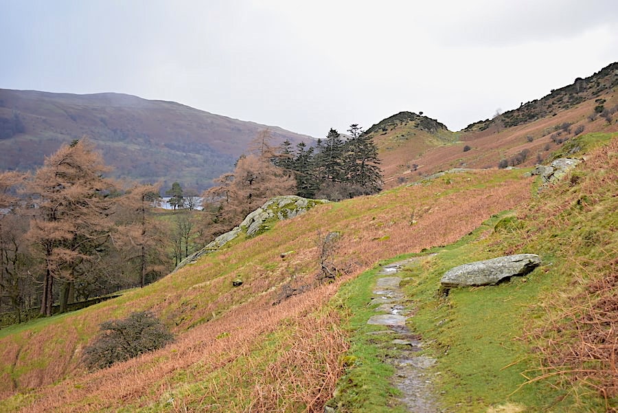
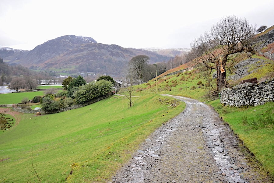
I might have been grumbling about the grey and shapeless overcast skies but at least we only had a slight breeze to contend with as we walked along towards Silver Crag, which has just come into view.
Along here we had a very eerie few minutes as things became very still, very close and very muggy as a bank of fog rolled in …..
….. and pretty much obliterated everything.
It didn’t last long though and eventually began to disperse giving us a misty view of Glenridding Dodd, Sheffield Pike and Watermillock Common across the water.
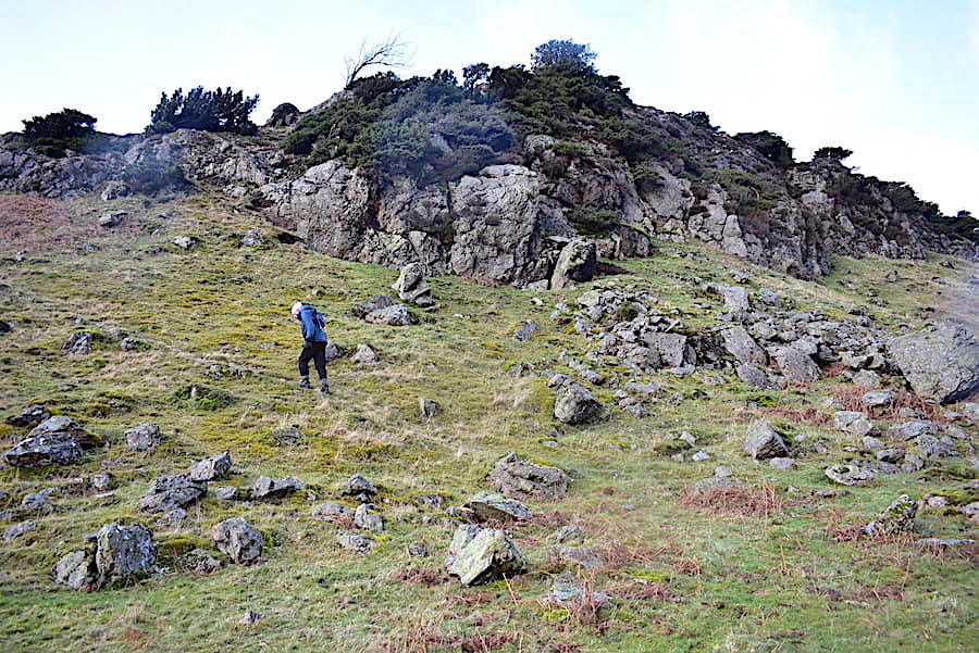
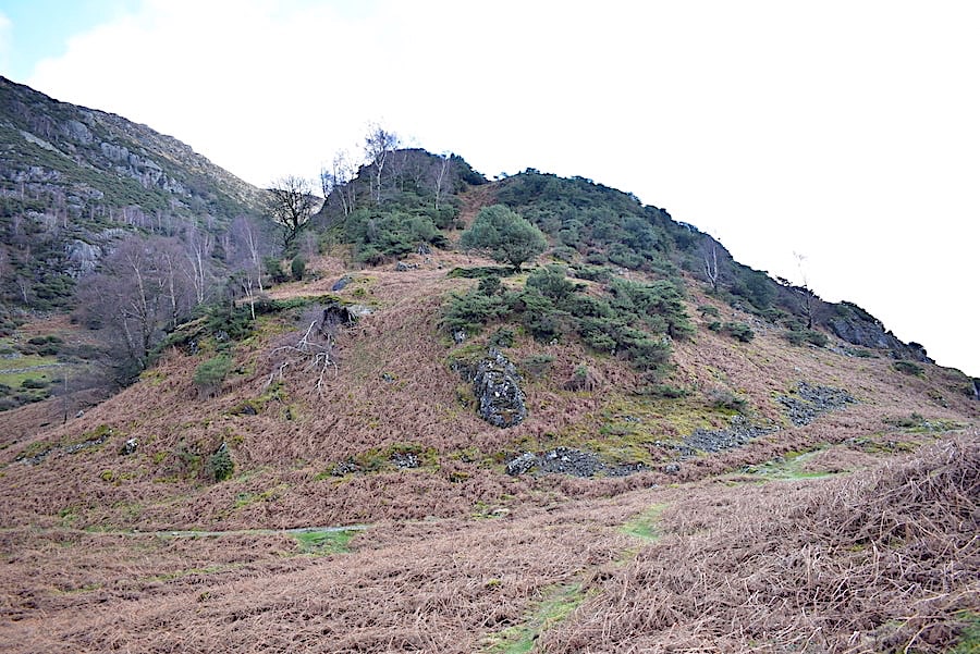
We’ve just exchanged greetings with a pair of very damp looking walkers coming up from the lakeshore path and heading back to Patterdale..They go on their way and we head up Silver Crag. Its not at all high or steep and is an enjoyable little clamber amongst the rocks and through the juniper bushes. As you follow the narrow path, which winds hither and thither, you can never see very far ahead of you which adds an element of mystery and fun, and I always think it would be a nice little adventure for kids of primary school age. Maybe even teenagers too, if they could lose their ‘hauteur’ for long enough. Obviously we do not fit into either category but nevertheless we still enjoy it.
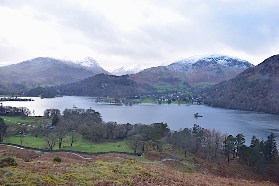
Looking back towards Glenridding before we disappear into the maze of junipers …..
….. and another look back as we reach the top. We’re not quite at the highest point but that is covered with such an impenetrable tangle of juniper bushes it is difficult to get to.
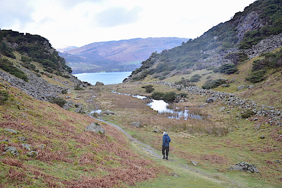
We drop back down to the path again and begin to descend towards Ullswater’s lakeshore path.
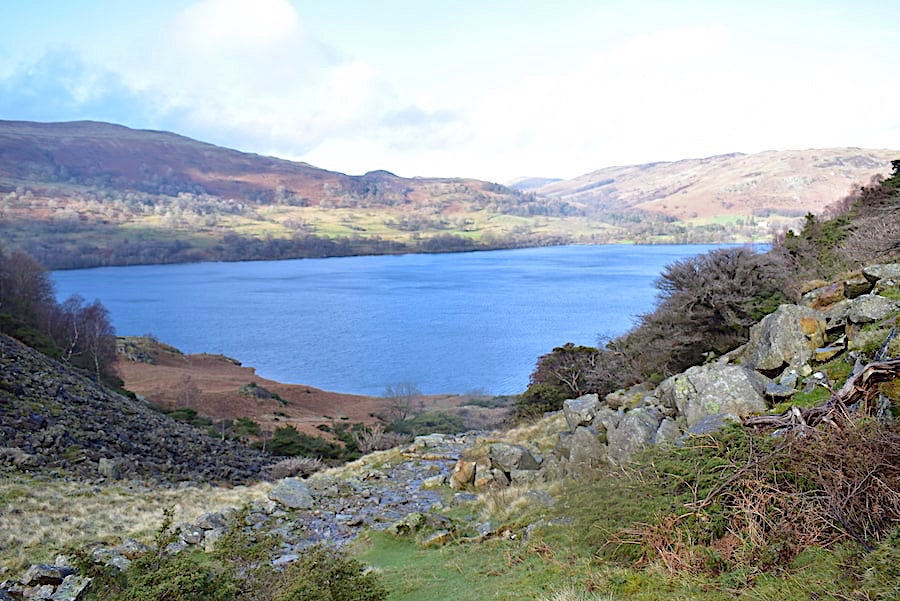
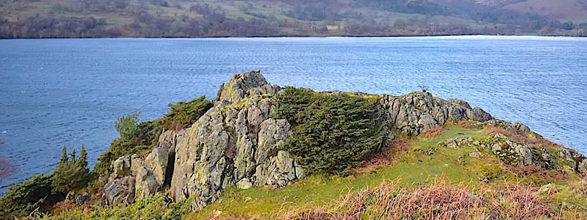
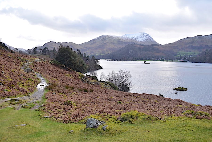
Blue skies above Ullswater as we descend towards Silver Point below us on the left. This is not my most favourite path, its much too rocky for my liking which necessitates a slow and careful descent and, understandably, running with water today.
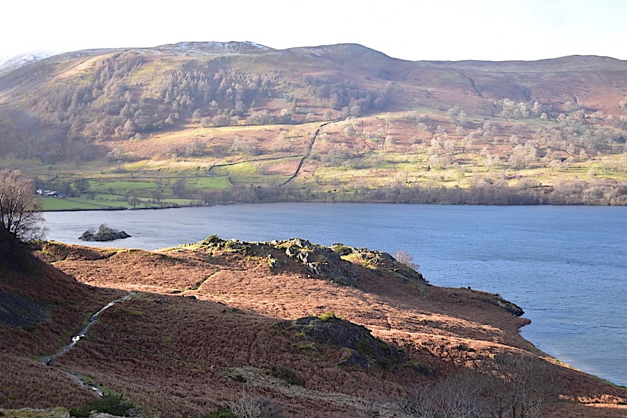
On the way down the sun pierced the cloud and lit up Silver Point quite nicely, although its more of a Bronze Point today thanks to the covering of dead bracken. The rocky path we’re on eventually meets the one heading over to the Point …..
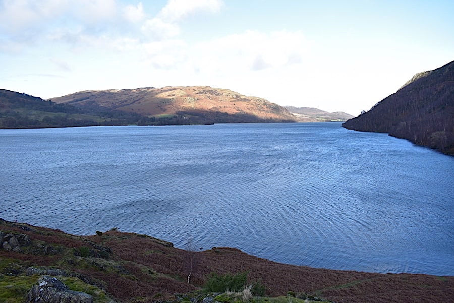
….. and as we cross over to the Point we have a view of a sunny Gowbarrow and a windswept and very chilly looking Ullswater. The path through the bracken, to the bottom right of the shot, drops down to a little gravel bay which provides a very pleasant picnic/paddling spot on a hot and sunny day. The thought of swimsuits and paddling brings on a chilly shudder so we move on to …..
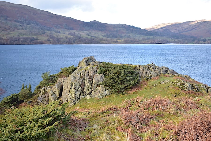
….. the outcrops on Silver Point. It was a little too breezy to stand around for long hoping that the sun would re-appear so we about turned and began to make our way back.
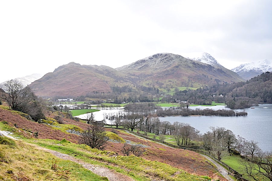
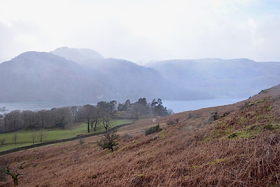
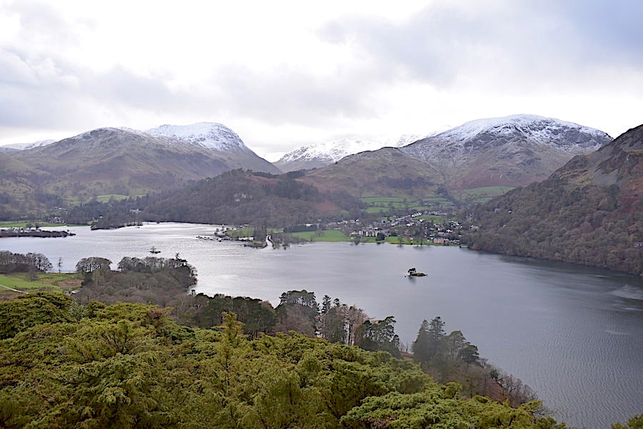
A view of Silver Crag as we turned away from Silver Point …..
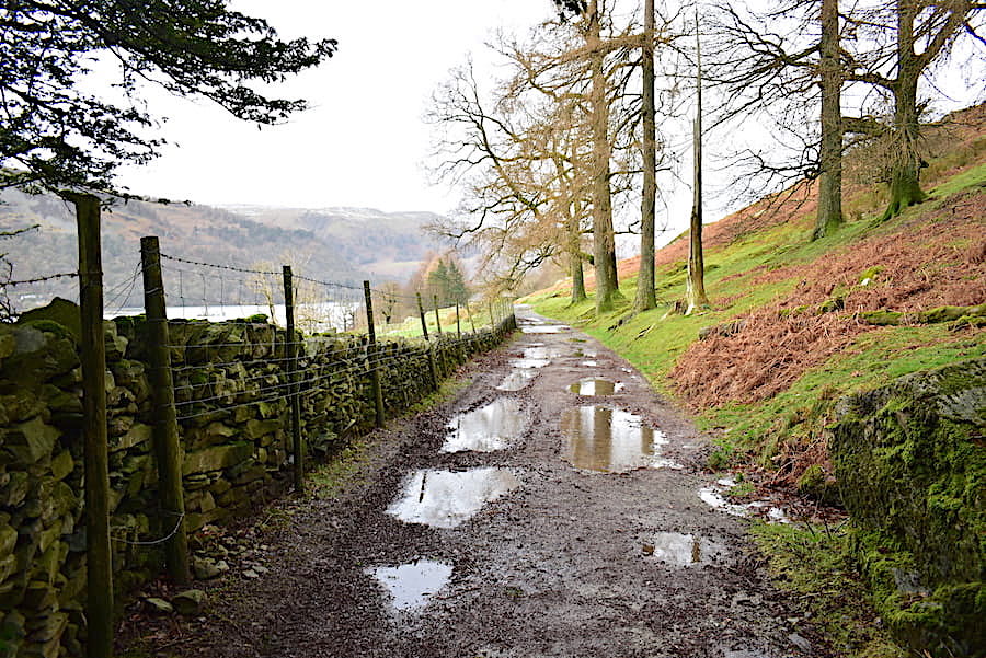
…..and began the return leg of our walk along the shoreline, more or less, path with Arnison Crag, Birks and a snow topped Saint Sunday Crag always in our view.
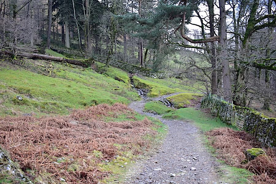
The path veers away from the water and through the woods where the becks were busy filling up Ullswater. The one ahead was pouring across the path but …..
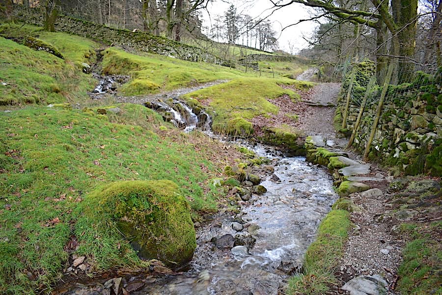
….. if you’d rather not get your feet wet you can always use the path by the wall alongside another beck. The two becks meet up a couple of yards ahead and continue down into Ullswater.
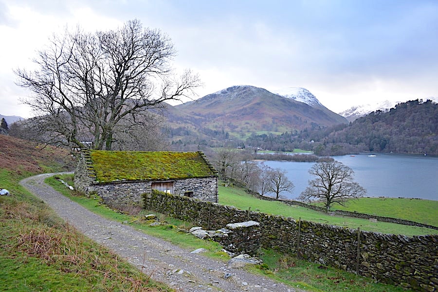
We reach the moss covered barn just as some much darker clouds begin to gather …..
….. and spits and spots of rain begin to fall as we approach Side Farm. Hartsop Dodd and Caudale Moor are just about visible on the left skyline with Arniston Crag directly ahead of us.
The spits and spots of rain stop and hoods go down once again.
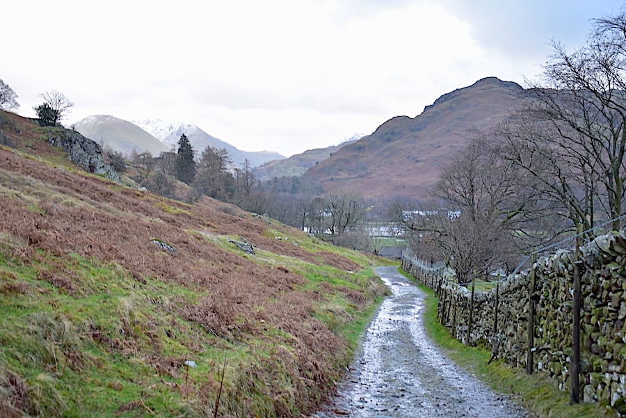
Beyond Side Farm now and heading for Rooking. Hartsop Dodd and Caudale Moor, on the right, are becoming ghostlier by the minute,
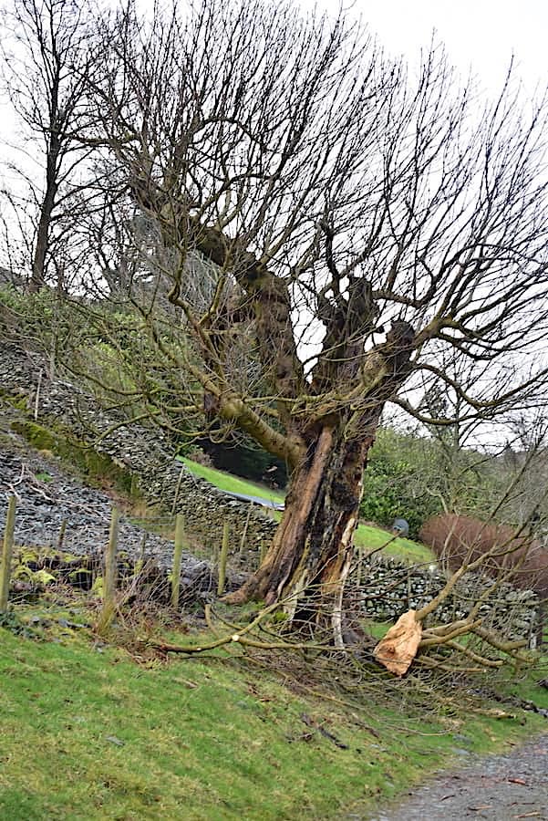
A storm casualty beside the path. Who dunnit – Ciara or Dennis?
Back in Rooking where the spits and spots of rain return and turn into bigger and bigger blobs and drops so hoods go up once again …..
….. and the remainder of the walk back to Patterdale and the car is done in pouring rain. The three walkers ahead were already soaked so they probably didn’t care too much anyway. Neither did we really since we’ve managed to sneak in another couple of hours outdoors, even though it was mostly a very grey sort of day. It would be very nice to have a settled spell though, and be able to plan for some rather longer walks on the fells than is possible in this long spell of very unsettled conditions.