Roundthwaite Common, Winterscleugh and Whinash
Walk date – 5th January 2022
Distance – 6.5 miles
Weather – sunny, cold, windy at height
We didn’t manage to get out for a walk in the run up to Christmas so we hoped the weather would settle down in the New Year. The forecast didn’t look too bad for a low level walk on 2nd January so that was a possible. That then turned into a no go for reasons beyond our control. Can’t blame the weather for that though. Monday 3rd January brought bleak weather so we passed on that. Tuesday was a definite possible with sun, blue skies and a lot less windy than of late being forecast but an email informing us of a parcel delivery between 11am and 1 pm neatly carved out the middle of Tuesday so that was that. Today’s forecast was as good as yesterday’s but an appointment with the hairdresser for this afternoon, booked in November, shortened the length of time we would have available. Its just been one of those times when the fates have seemingly conspired against us. Anyway given the short amount of time we would have available today we nipped down the A6 to have a short walk through the Borrowdale valley as far as Low Borrowdale farm, then climb up to the little col below Belt Howe and make our way back via Roundthwaite Common, Winterscleugh and Whinash. A ‘make-do’ walk but still a good ‘un, with time for a ‘cut and blow-dry’ at the end!
Route
A6 Huck’s Bridge lay-by – Borrowdale valley – High Borrowdale farm – Low Borrowdale farm – col below Belt Howe – Roundthwaite Common – Winterscleugh – Whinash – Breasthigh Road – A6 Huck’s Bridge lay-by
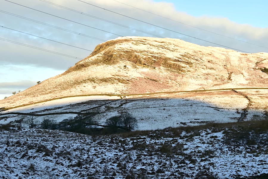
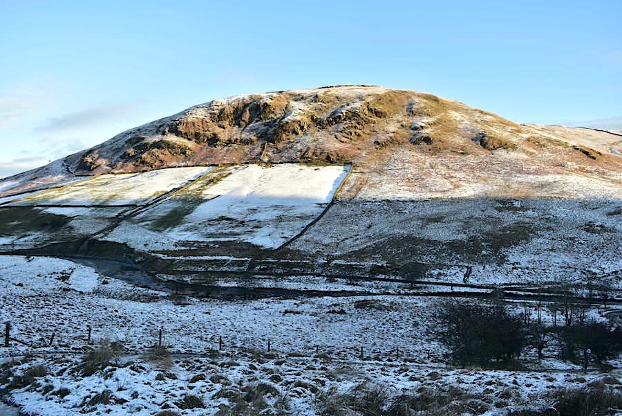
As we drove down the A6 we could see that the lakeland fells to the west had received a fair covering of snow, probably during the course of Monday night. J mentioned that he had brushed a light coating of it from his car roof on Tuesday morning. Not much had settled on the ground at home and it was very sunny on Tuesday so what little there was melted very quickly. As can be seen from this shot of High House Bank, taken from the A6 lay-by at Huck’s Bridge. It wasn’t a full blanket covering but it was enough to make us sure that we hadn’t brought along the gaiters and spikes for nothing.
Suitably kitted up we walked up the road to the metal gate giving access to the footpath and begin to walk down into the valley. The sun hasn’t risen above the fells on the west side of the valley so we know we’ll be in deep and chilly shade for a while. Its high enough to light up the features of Greenside Crag though which helps dispel a little of the gloom. The crag always reminds of Clough Head whenever I look at it.
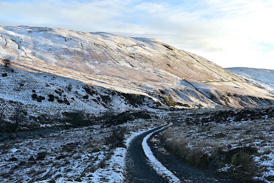
After a very icy and careful walk down the hill from the gate we eventually reached the flatter valley track and begin our walk along Borrowdale. The lakeland fells we saw on the drive down looked to have about the same covering as the ones in the picture.
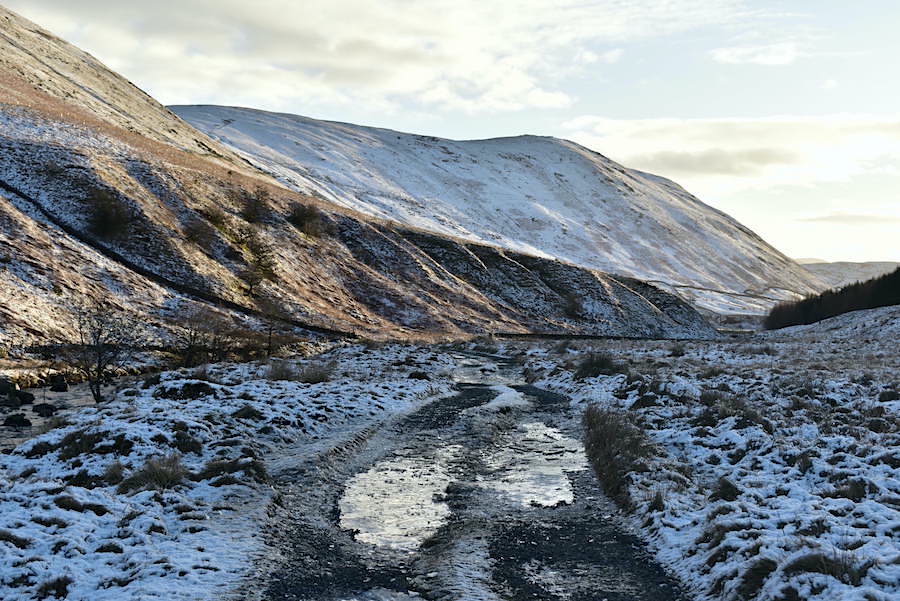
The path was both watery and icy which made for slow progress. Large puddles from the recent rains hadn’t completely frozen over and farm vehicles using the track had smashed through them leaving shards of ice and ankle deep puddles behind them. Any thin patches of water were completely frozen over making them indistinguishable from the unfrozen gravel and sometimes taking to the rough grassland was the best and safest option. We hadn’t put the spikes on, from experience we know that there are always occasions when taking to the grass has to be done along this path and wearing spikes in soft snow on long grass brings its own set of problems.
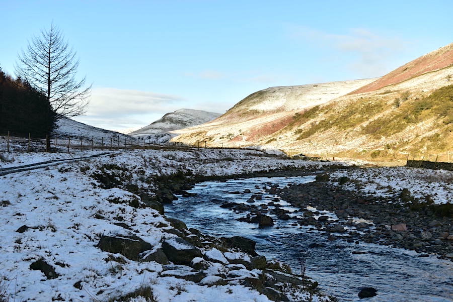
A look back towards Greenside Crag as we walk along beside the beck. That’s the beck in the bottom right of the shot not a section of the icy path. Although …..
….. it would be understandable to think that because in many places the track did indeed resemble a beck. Lots of detours via rough snow filled grass were the order of the day and progress slowed as we worked our way around such obstacles.
We’re still in deep and chilly shade down here but looking back offered a more cheerful sight with this sunny view of High House Bank and Greenside Crag.
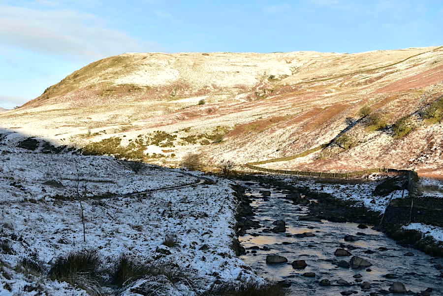
A study in brown as we reach the bridge …..
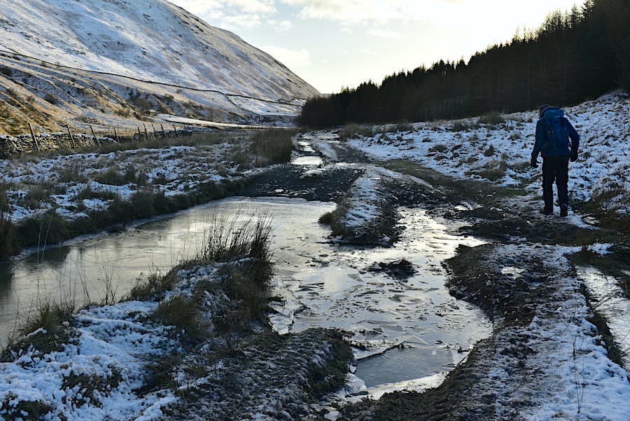
….. and a look back at the sunny view behind us as we cross the bridge. There are a few clouds about, which dimmed the sunlight now and again, but not enough to give rise to any concern about a change in the weather
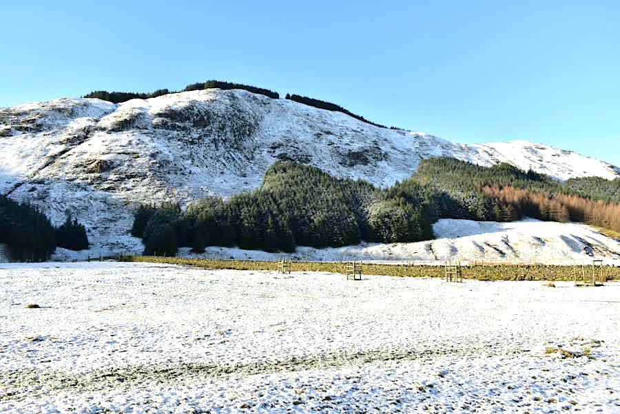
When we crossed the bridge we gained the sunshine which made walking through the flat snowy meadow land very enjoyable. We were told by someone out walking their dog that the trees on Ashstead Fell and Mabbin Crag over there are due to be felled within the next few years but whether that is true or just rumour/wishful thinking we don’t know, so we’ll just have to wait and see.
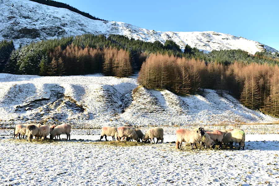
Breakfast in Borrowdale. As we walked across the meadows a quad bike pulling a trailer full of hay came towards us a couple of minutes before we reached this spot and judging from the speed with which the sheep were tucking in they were more than ready for their morning treat.
Looking back along the Borrowdale meadow land. apart from the dog walker and the hay deliverer we’ve seen no-one. A lovely peaceful place.
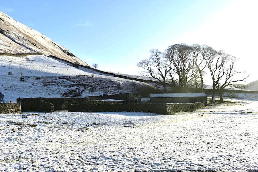
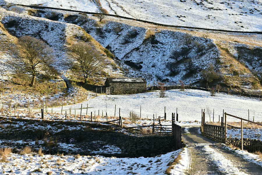
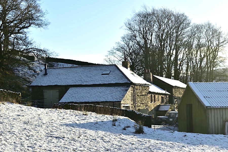
We arrive at what was once known as High Borrowdale farm. The farm and meadowland, now owned by Friends of the Lake District, is no longer a working farm and the once derelict buildings have been made safe. The sheep are able to graze the meadows until spring after which the meadows are left in peace to grow and flower, providing food for a variety of butterflies and other insects and a very colourful walk for us humans. The sheep come back to graze in the autumn when the flowers have died back.
Ashstead Fell and Mabbin Crag from the farm buildings.
The view ahead from a high point along the track. We could have carried on along this track which would have taken us through the patch of woodland, just behind the hill, and brought us out at Low Borrowdale farm but we didn’t. We dropped back down to the main track through the meadowland and made our way over to …..
….. Low Borrowdale farm. We are heading for the gap in the wall on the left where we will join the path coming through the patch of woodland mentioned previously and from there …..
….. we pass round the back of the buildings and begin the climb up to the col below Belt Howe. I took this shot looking back over to Whinfell Common when we stopped briefly to quench our thirsts. The blazing sun has us partially unzipping our jackets too, we just had to let some of the inner heat out somehow.
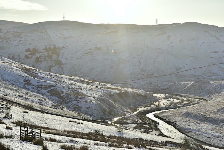
Not such a good shot as its directly towards the sunlight but the beck and the path can be seen below as they snake their way towards the Lune valley. The comms masts on Grayrigg Forest/Common are clearly visible too.
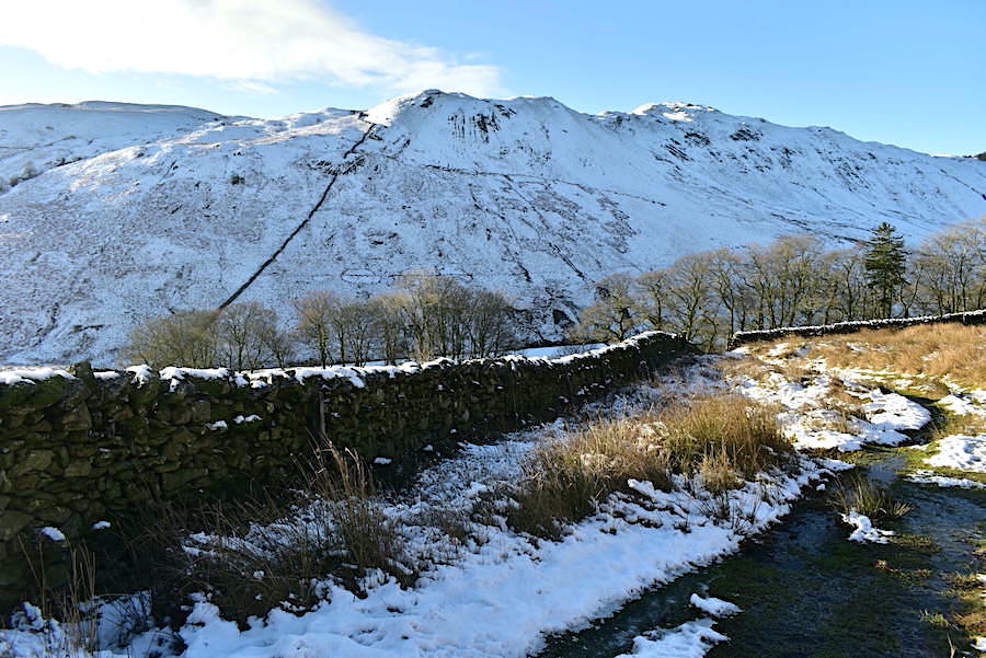
The farm buildings, from where we followed the path up here, are hidden below the trees in the valley with Whinfell Common and Ashstead Fell providing the backdrop.
From a little further up a view of the bulk of Whinfell Common …..
….. and another look back from just below the col before the view disappears.
We emerge at the col below Belt Howe, the small hill just out of shot to the right, where we have a view of the distant North Pennines and a cluster of Howgill fells over on the right. Here we turn left …..
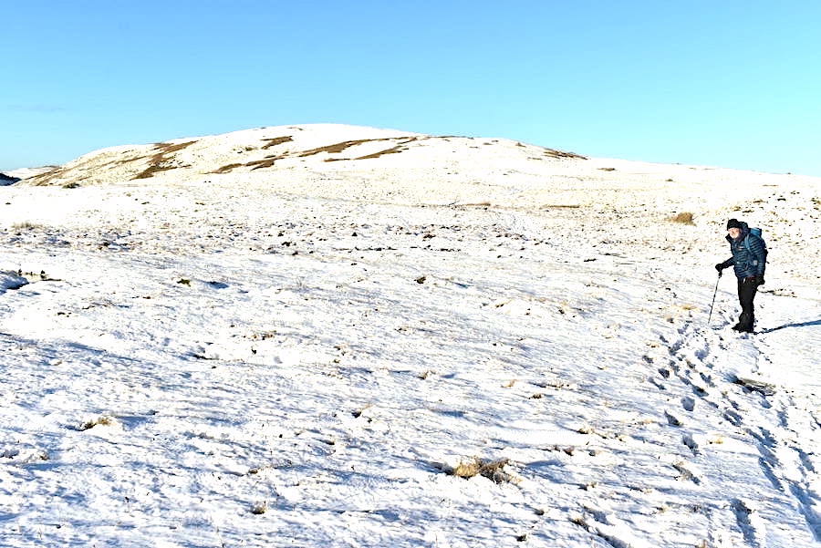
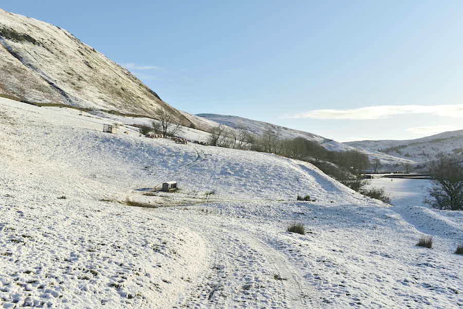
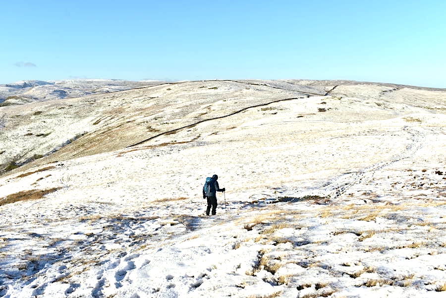
….. and follow the track up the hill to the top of Roundthwaite Common. The snow is soft and powdery and rather deeper up here. We’re also getting the north westerly wind blowing directly at us now plus an occasional face full of snow as the wind catches any looser snow lying around.
A look back at some of the Howgill fells as we climb up, they have a decent covering of snow too.
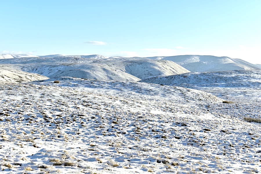
Belt Howe across the middle foreground and behind it, on the left, are some of the Howgill fells, with Grayrigg Common over on the right.
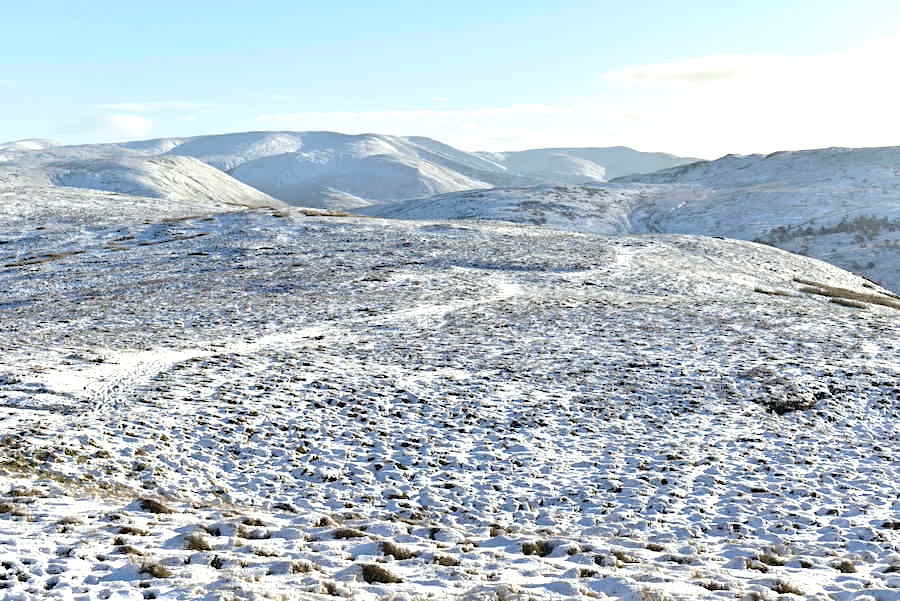
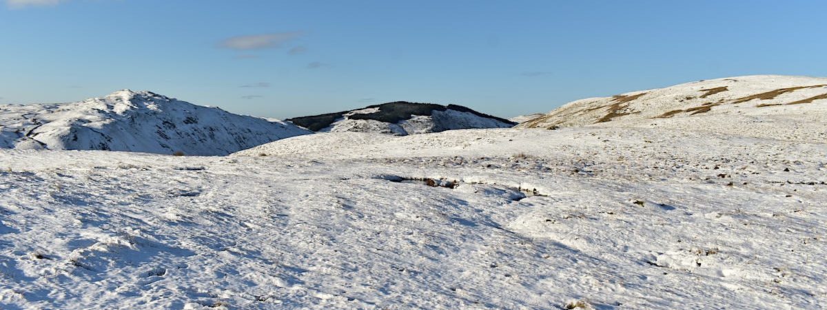
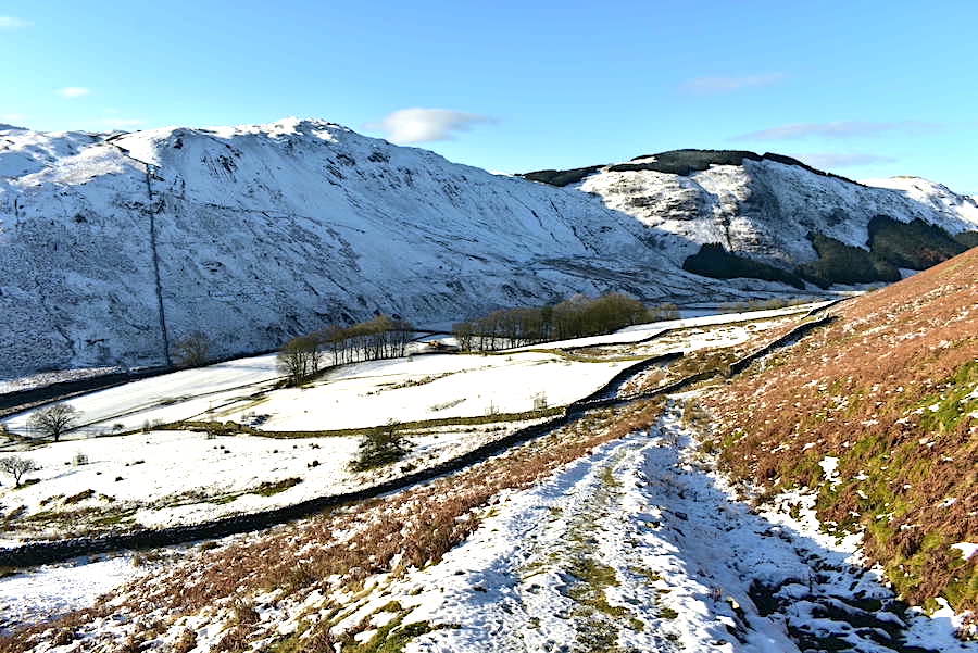
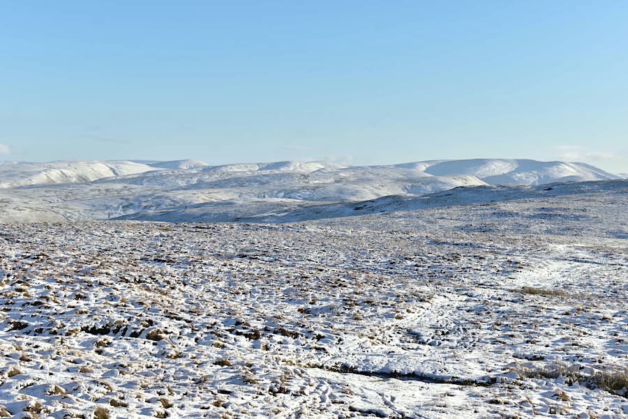
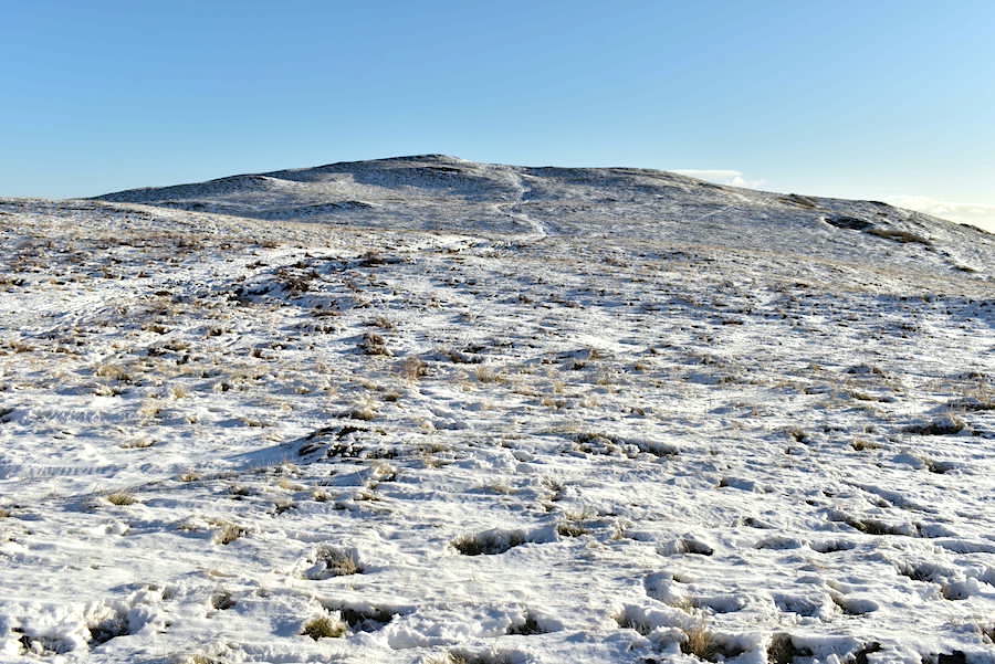
Looking back to the top of Roundthwaite Common as we walk towards …..
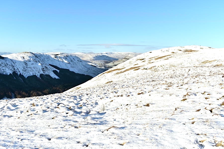
….. Winterscleugh which is some distance away over to the right. Even with the help of the quad bike track the going was a bit rough today. If you’ve walked over rough grassland covered in snow you will have a good idea of what it was like, just add in the brisk north westerly, the snow being blown around and exposed skin quickly going numb. Conversation in a strong wind with numb face muscles is tricky.
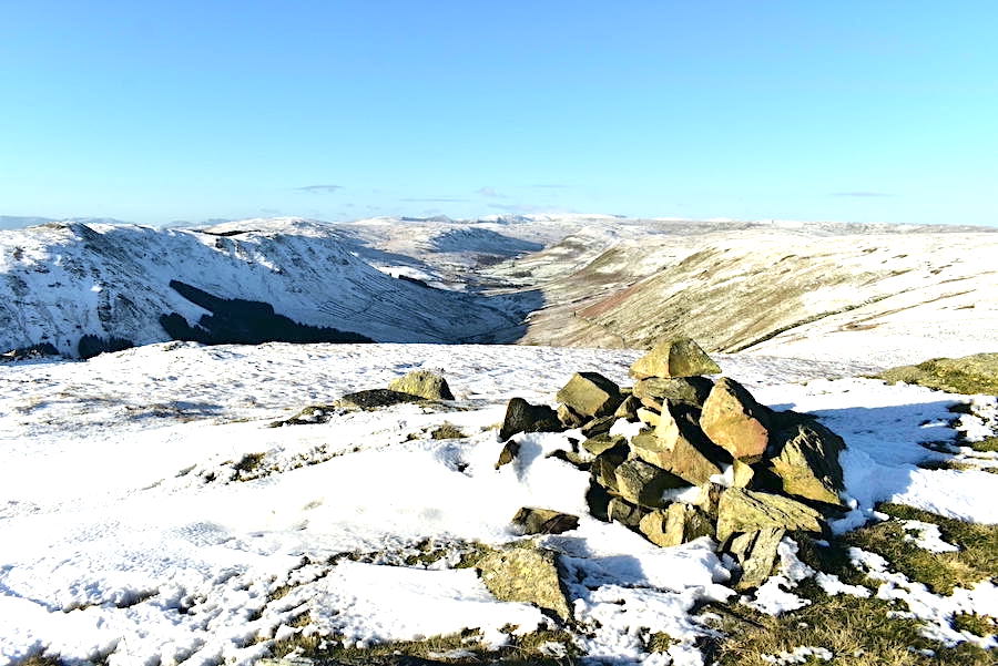
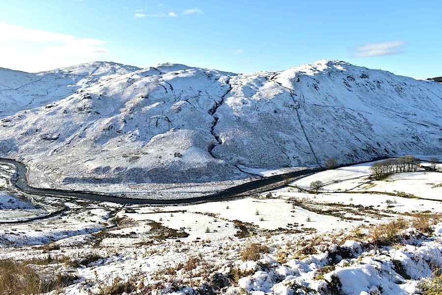
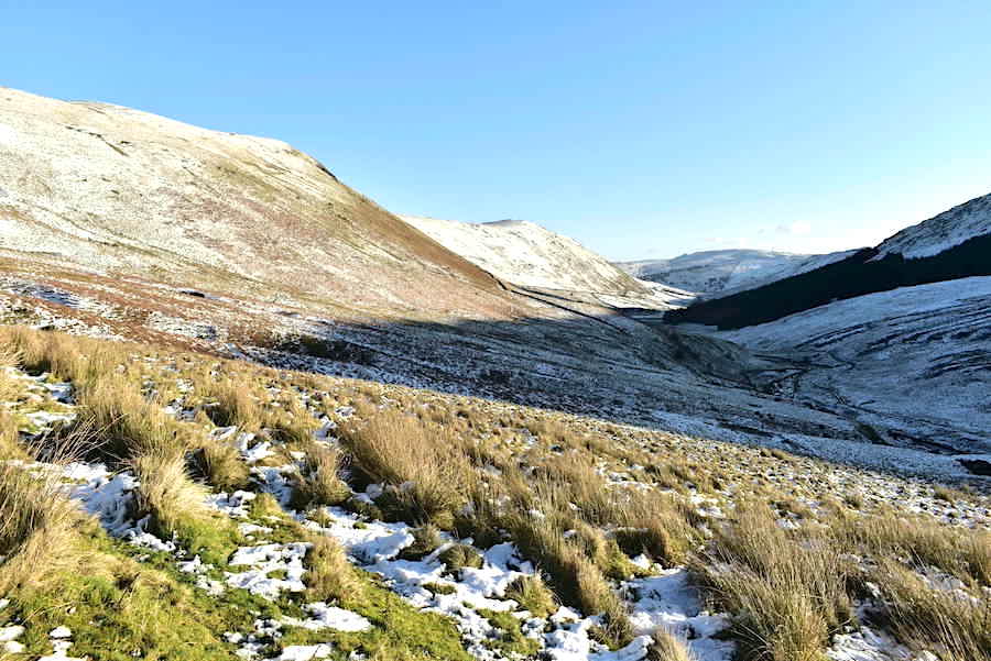
We only stayed long enough on Winterscleugh to take this shot looking along Borrowdale from the cairn at the top before scurrying back down to the relative shelter of the next section of the track where we will begin making our way across to Whinash …..
….. which is over yonder across a lot of open ground. Hmm, no likelihood of any respite from the wind across there then.
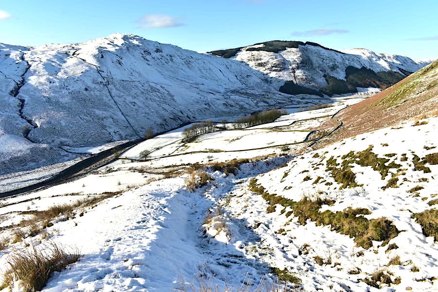
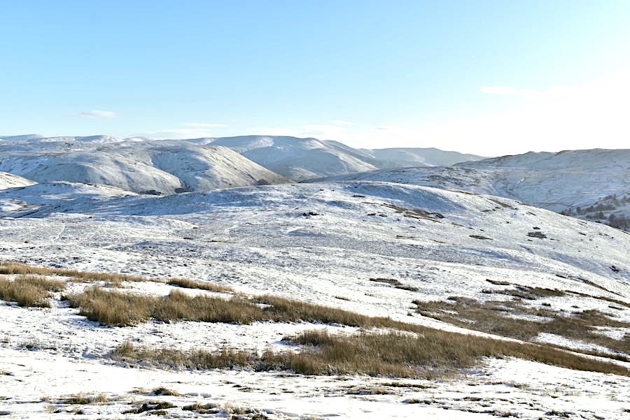
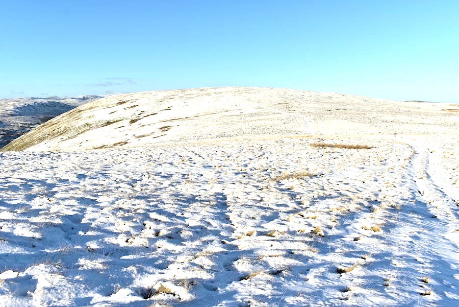
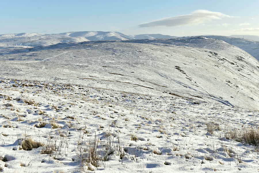
A look back at Winterscleugh as we carry on towards Whinash. We used the path over on the left because the right hand one skirts round and doesn’t pass over the summit.
The Howgill fells or ‘a huddle of sleeping elephants’ as AW described them.
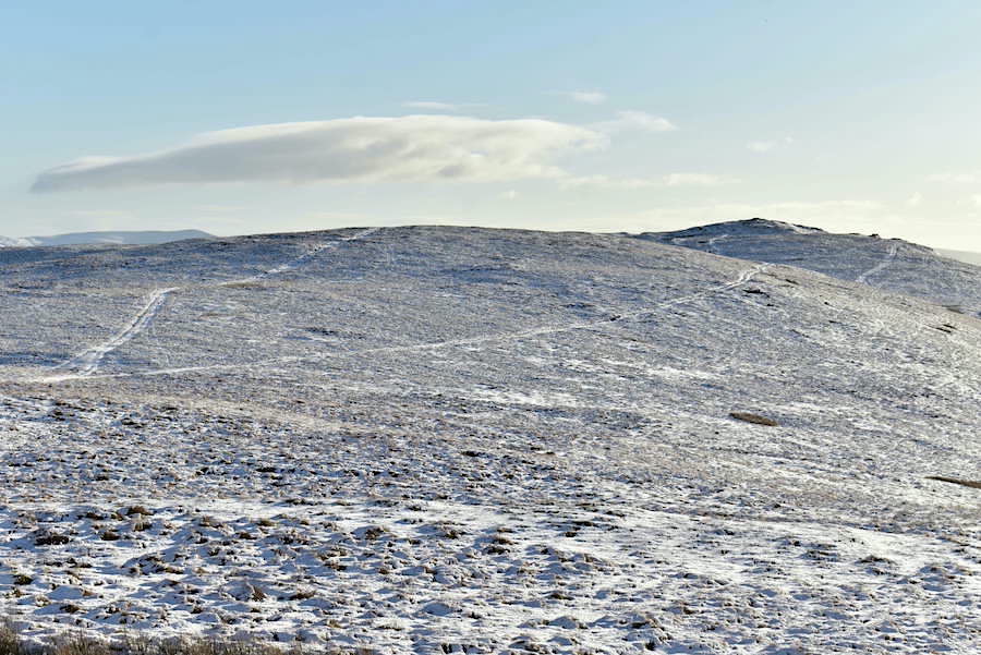
A look back along the wind blown ridge to Winterscleugh from Whinash.
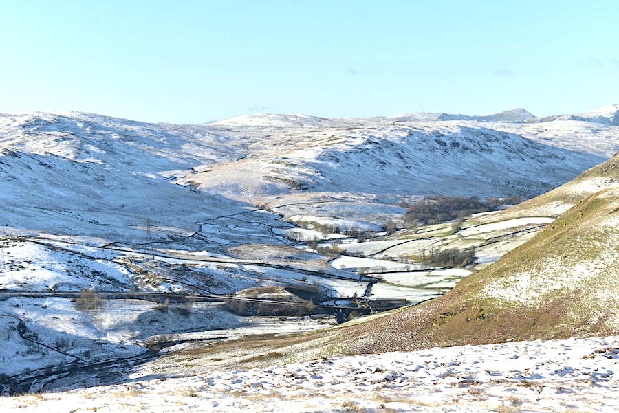
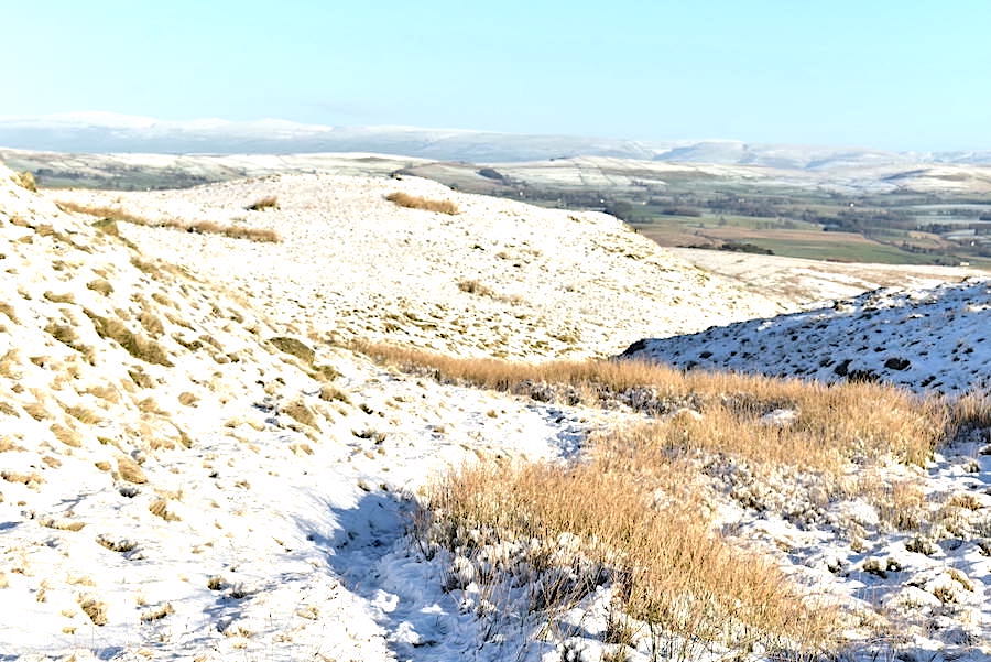
Its even windier up here so it was only a brief stop for a photo looking along the Borrowdale valley towards White Howe, to the centre right, which stands between the valleys of Bannisdale and upper Borrowdale. Ill Bell has popped up towards the right of the skyline.
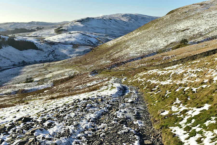
We drop down from Whinash and make our way over to Dennison Hill beyond which the track we’re on crosses the Breasthigh Road which we will use to begin our descent back into the valley.
A look back up Dennison Hill as we reach the Breasthigh Road. We finally put the spikes on at this point after taking a look at its icy conditions. Lots of solid sheet ice so not something you want to be messing around on, things improved lower down …..
….. as the icy patches became fewer and smaller and could be easily avoided.
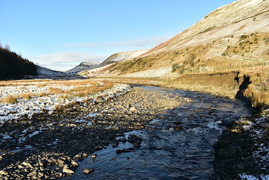
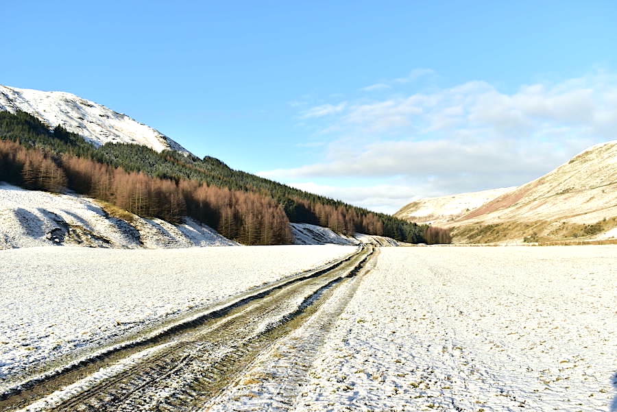
A look back along Borrowdale as we near the end of the Breasthigh track …..
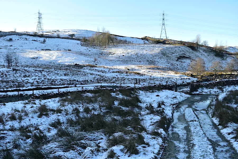
….. which comes to an end at the gate close to the large stepping stones across the beck. One or two were below the water so we didn’t cross over. We followed the path on this side of the wall which leads to a gate opposite the farm below High House Bank.
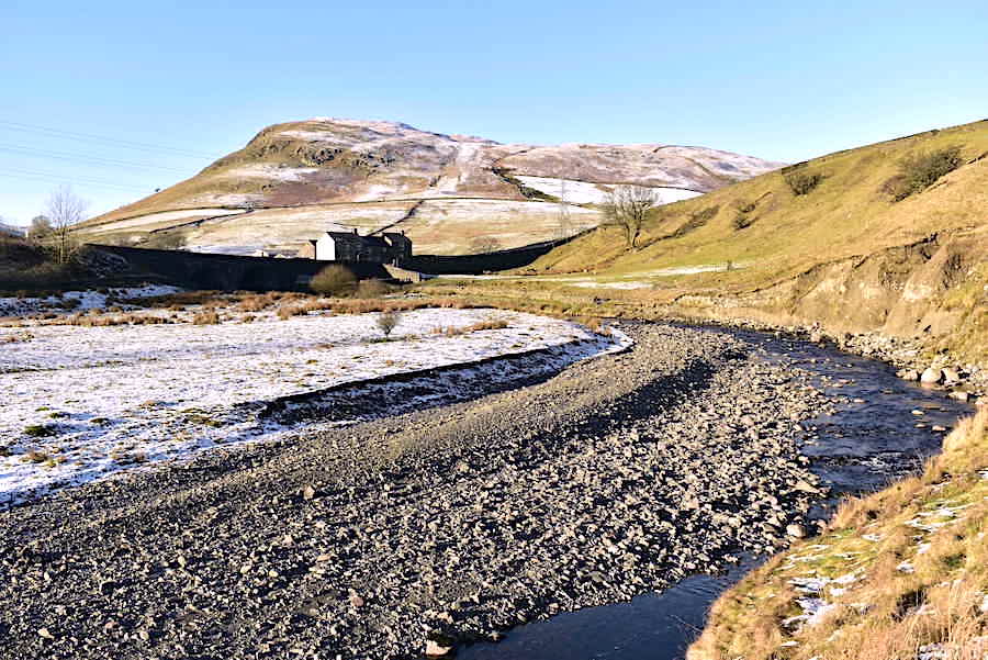
A lovely sunlit scene to end today’s outing. High House Bank is in the distance with the farm buildings below it and Borrow Beck creating a graceful curve as it sweeps down the valley. All that’s left to do now is continue on towards the gate opposite the farm buildings which plonks us back on the A6, make the short walk back up to the lay-by, drive back home with still plenty of time left before I have to go and get my hair cut. It all worked out well in the end. As we drove back I noticed that the snow on the lakeland fells was rather less than it was earlier on but the forecast for the next few days is indicating more snow to come. We can only wait and see.