
Selside Pike with a difference
Walk date – 19th February 2024
Distance – 7.76 miles
Weather – sunny start then very overcast, brisk westerly wind at height, no rain
The day started off with sunshine and blue skies which turned overcast much earlier than the forecast had predicted. That was supposed to happen later on during the afternoon but things soon took a turn for the worse and by the time we reached Swindale Head the sky was beginning to look very gloomy indeed. We had intended to follow our usual route and walk over Selside Pike, Artle Crag and Branstree but we changed our plans once we arrived on Selside Pike. Our route from there turned out to be much more interesting than we had expected and provided some very different views to the ones we would have seen had we continued with our original route. Despite the poor weather, or maybe because of it, we had a much more varied route and saw familiar sights from different viewpoints than would otherwise have been the case.
Route
(Manual map instead of the usual gps one – something went awry!)
Swindale Foot – Truss Gap – Swindale Head – Old Corpse Road – Selside End – High Blake Dodd – Selside Pike – Geordie Greathead Crag – Hobgrumble Gill – Nabs Moor – Mosedale – Dodds Bottom – Swindale Head – Truss Gap – Swindale Foot
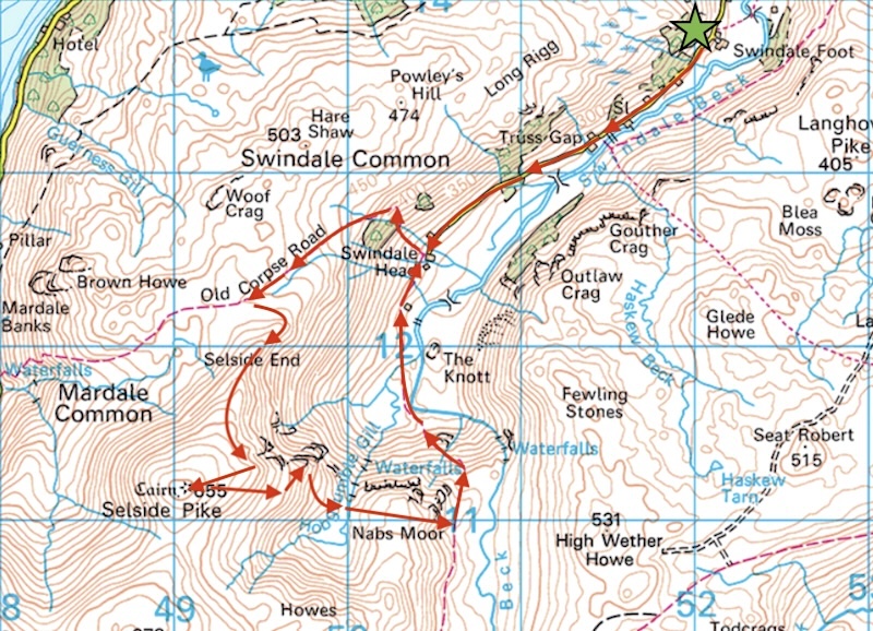
Looking back from the parking area at Swindale Foot on a beautfiul sunny morning, unfortunately it wasn’t to last for very much longer.
Walking along Swindale Lane in bright sunshine, no wind and no other walkers around either.
We reach the stepping stones at Truss Gap and shortly afterwards …..
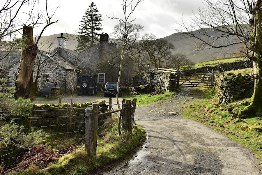
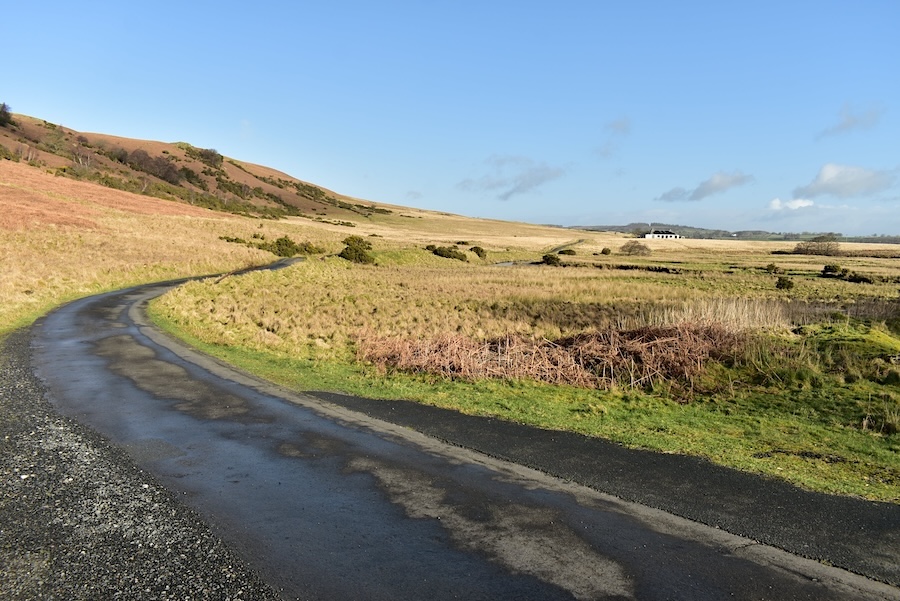
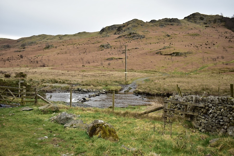
….. we arrive at the farm buildings at Swindale Head although it hasn’t been a working farm for many years now. The house has had several changes of ownership during the years we have been walking here but I don’t recall ever seeing it as a working farm. The tarmac surface ends here and once through the gate a wooden signpost indicates the path to Mardale following the Old Corpse Road. Walkers also have the option at the signpost of carrying straight on over the rough and stony farm track over to Forces Falls and on into Mosedale.
A look back at the blue sky disappearing eastward as we walk through the lonning from the farmhouse. The crags and hills across the valley are sandwiched between Swindale and Wet Sleddale and form part of the Shap group of fells. As can be seen from the water trickling along the centre of the path we have now begun to trek over some very wet ground.
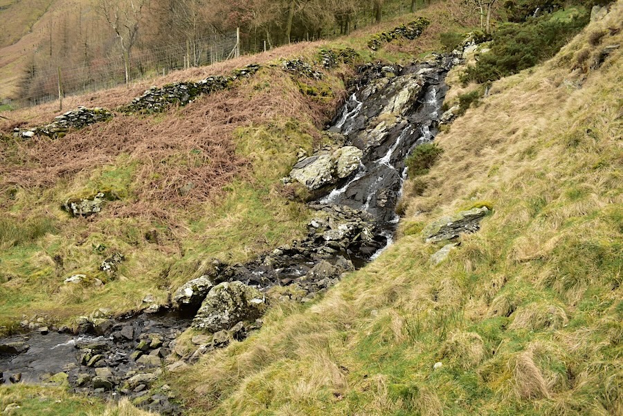
A little higher up the path there’s a beck to be crossed which was somewhat awkward today thanks to the volume of water and thus plenty of wet stones on which to place our feet.
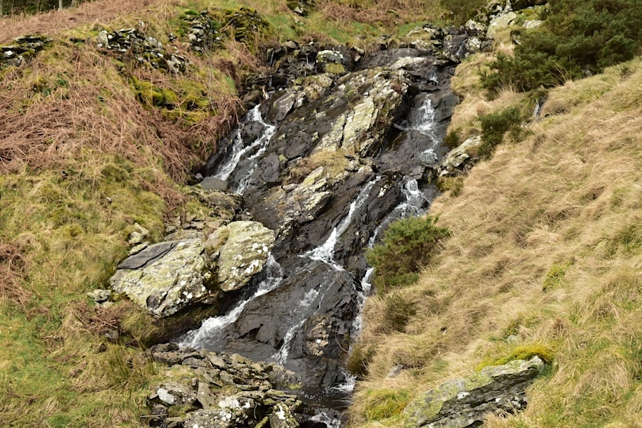
A closer look at the waterslide above the beck crossing.
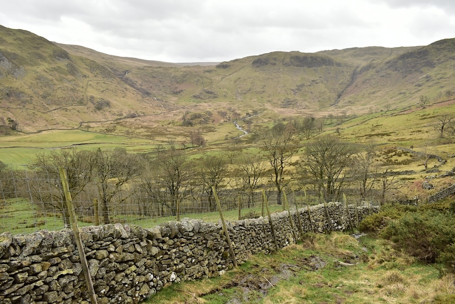
Safely across the beck and carrying on up the soggy path with a look across to the end of Swindale and its surrounding rim of crags. The sunshine has been replaced with the customary blanket of cloud.
A look back along Swindale as the gradient eases a little. Just before we reached here we were approached by three walkers, possibly a family group, if so then Dad was carrying a dachshund, coming down towards us. The lady, who I assumed to be Mum, asked if we were local, (yes we are), and could we help them with their route finding, (of course we would). They had the correct OS map for the area and it was open at the right spot so we were able to pinpoint where they were and direct them to where she said they wanted to be. She mentioned that they found the contour lines very confusing, how lucky we were to live here, and that they were from London. The younger female of the group said nothing at all. We could only hope that they managed the rest of their walk by themselves as there weren’t many people out today who might have been able to help out if they lost their way again.
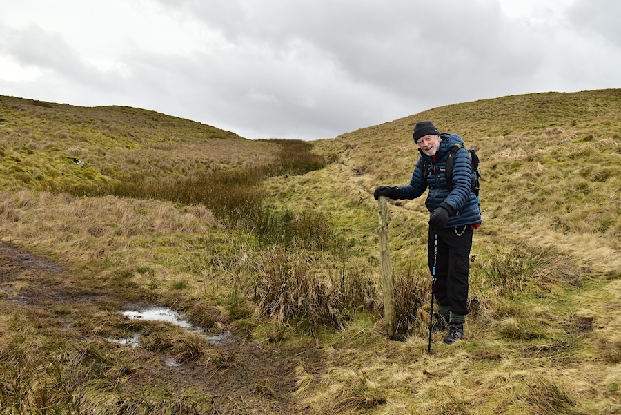
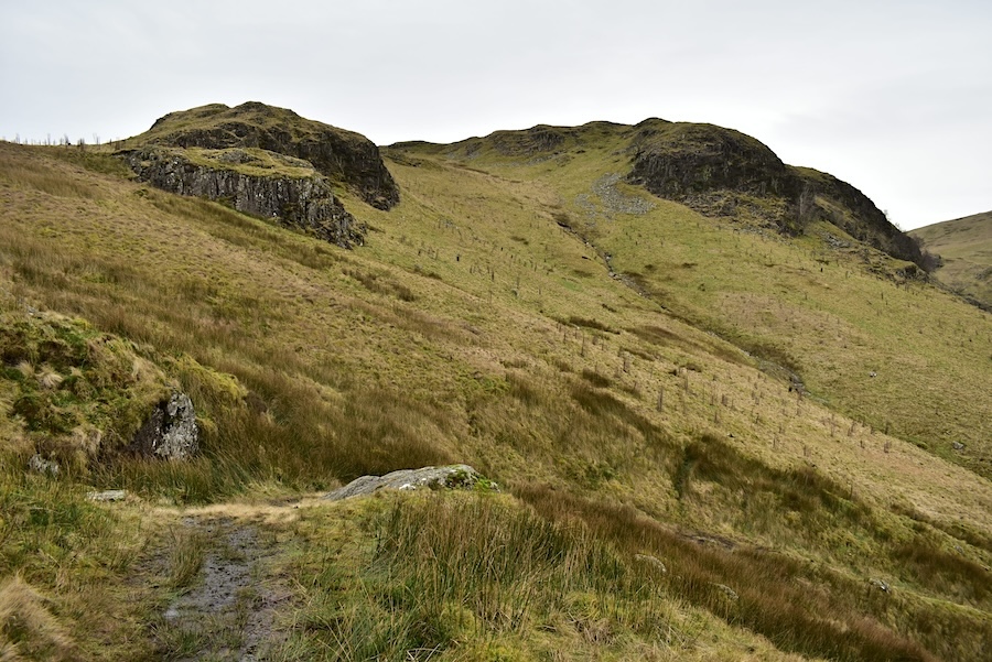
We carried on with our walk and eventually reached the wooden post marking the path junction for the route up to Selside Pike. I asked J if he recalled the first time we walked the corpse road up to this point and how, all the way up, he had said that the wooden post that we were looking out for had probably rotted or been blown away. Well, a few decades have passed since that walk but the post is still here and still doing its job of guiding walkers up to Selside Pike. I always wonder how many walkers have missed it altogether and ended up somewhere they weren’t planning on visiting.
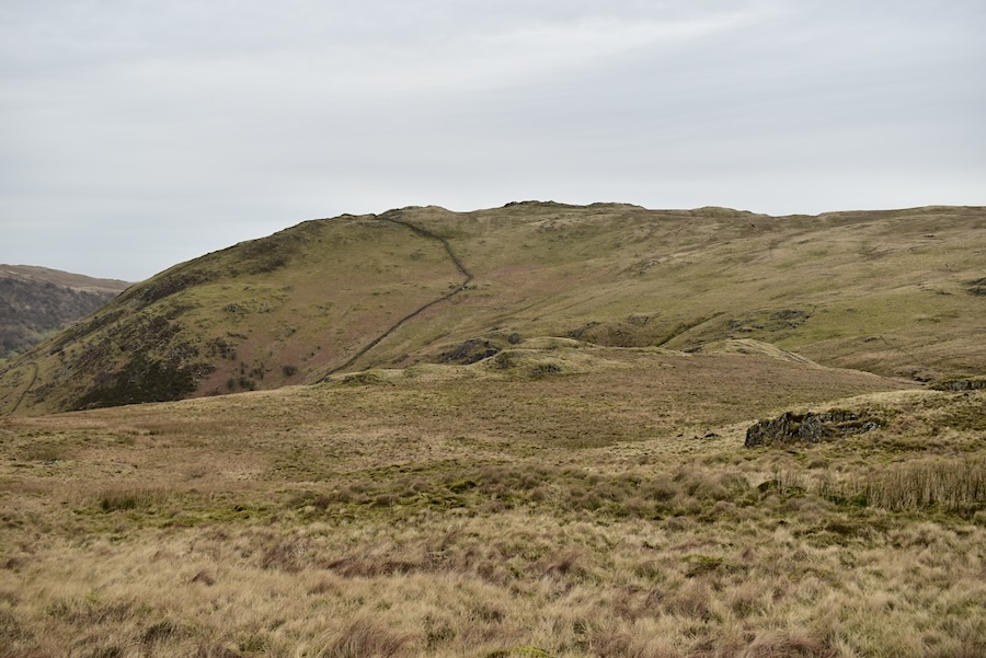
On the way up Selside Brow now and a look across to Brown Howe and the fells beyond. Between it and them is Haweswater down in the Mardale valley and I guess the fells on the skyline will be familiar to regular visitors to this site. For those unfamiliar with the view includes the pointed peak of Kidsty Pike.
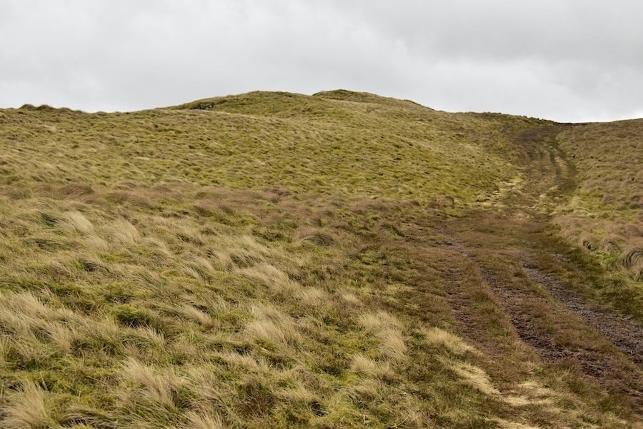
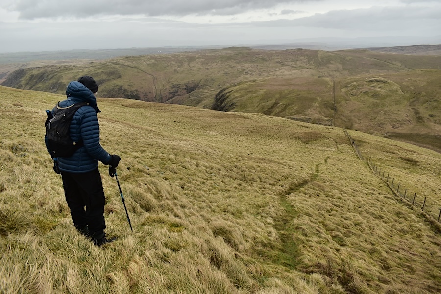
The soggy and slip-slidy path continues on up the slope as we make our way towards …..
….. High Blake Dodd so we divert from the main path in order to take in the views from the top of it.
The view back along Swindale from High Blake Dodd and …..
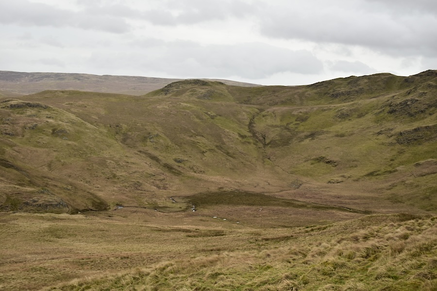
….. the view down to the drumlins and Forces Falls …..
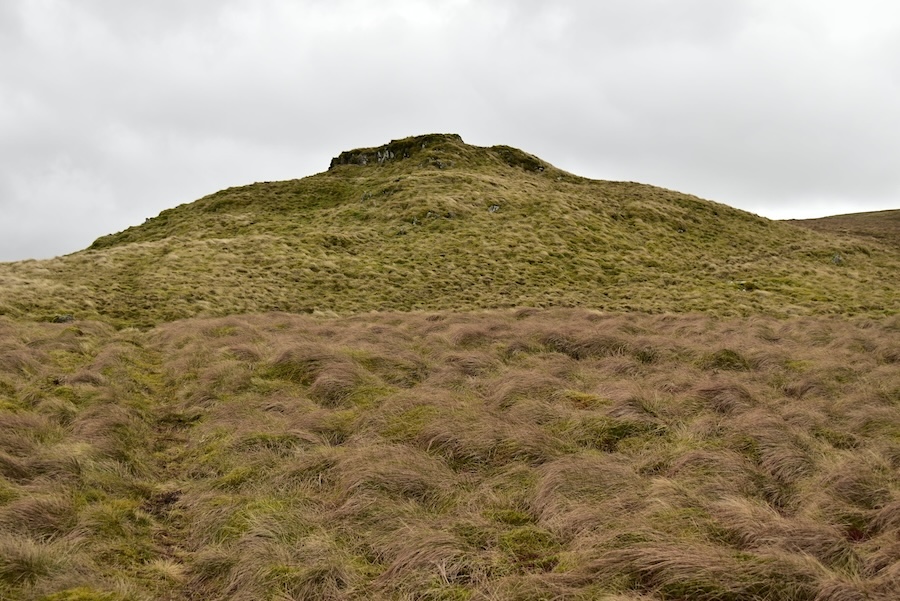
….. nearest the camera is Great Geordiehead Crag with Nabs Crag below it over towards the left.
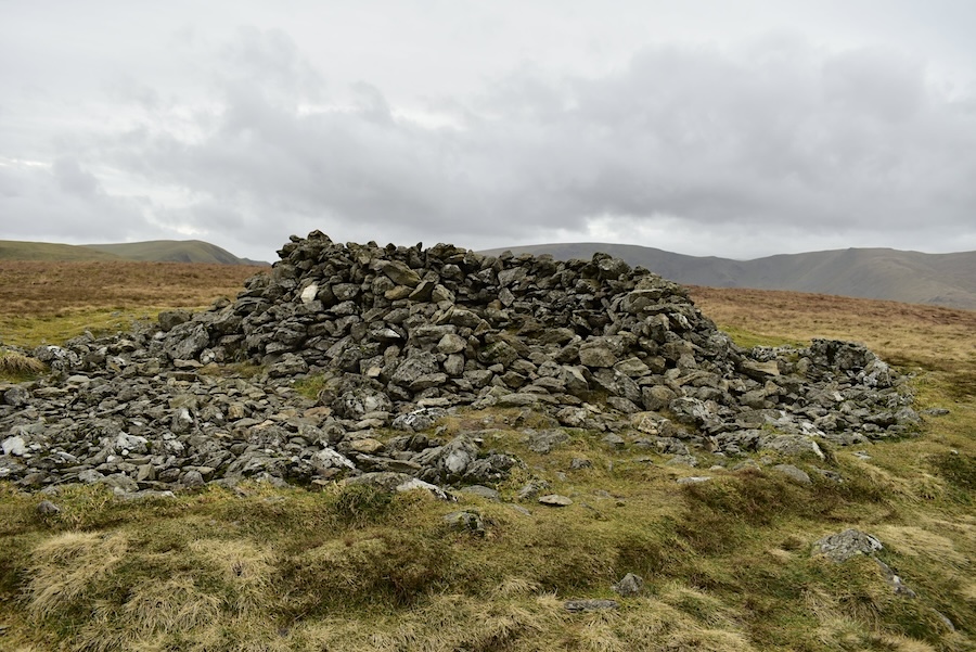
The shelter on the summit of Selside Pike where we made ourselves comfortable out of the brisk wind and enjoyed some hot coffee and a bite to eat for ten minutes or so. We got out our map and held an executive meeting while we were here as the views ahead were less than promising.
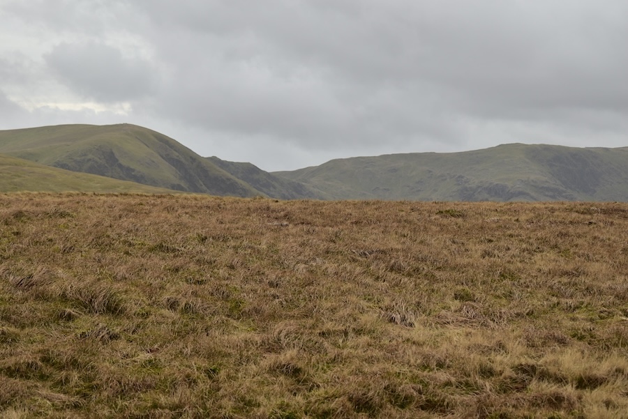
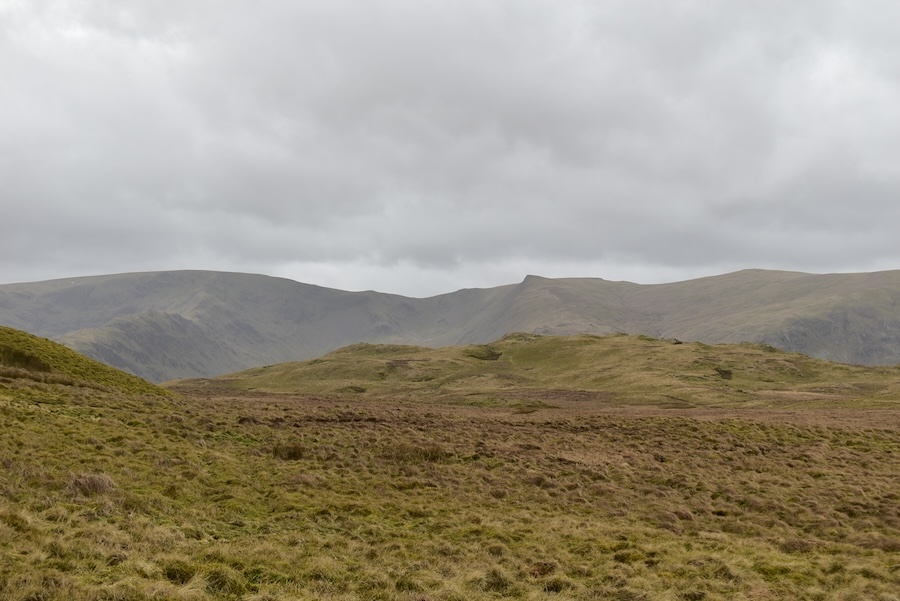
This was the view ahead from beside the summit shelter on Selside Pike.
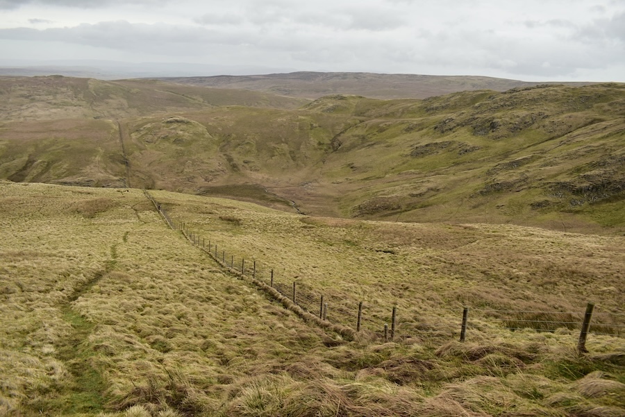
The clouds coming in from the west were becoming heavier and darker and the views were losing what little definition they had so we decided to go eastward down Selside Pike alongside the fence …..
….. J views the route as we begin our descent. We will follow the fence line down to the first dip, which contains Hobgrumble Gill, then cross the gill and, still keeping to the fence line, climb up over Nabs Moor before dropping down to pick up the path along Mosedale.
A steady descent down to Hobgrumble Gill while trying to avoid the soggiest patches. At least we’re out of the brisk wind now that we’ve left the summit.
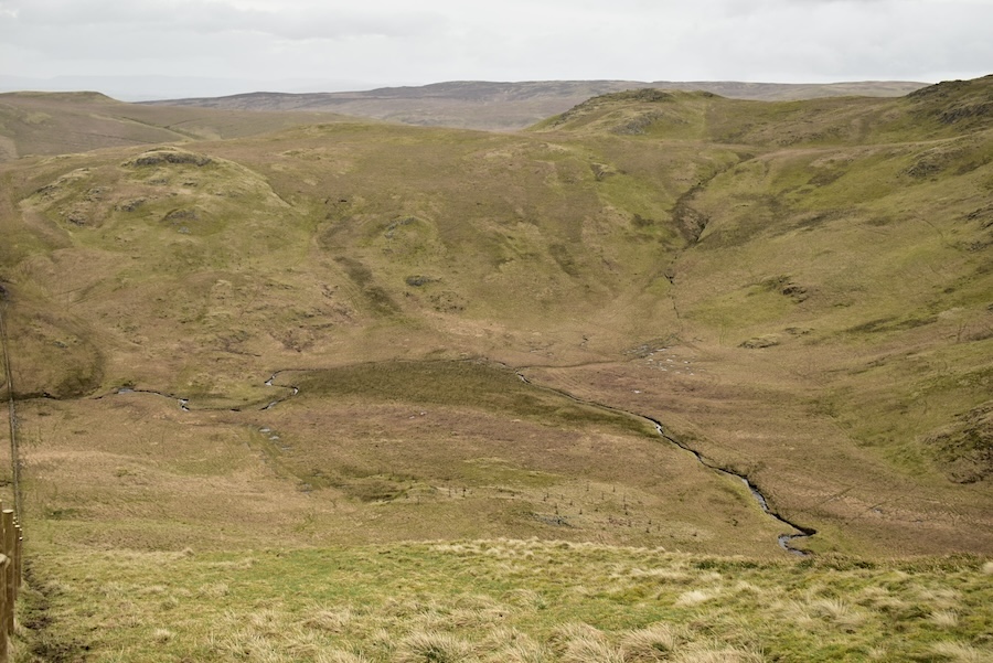
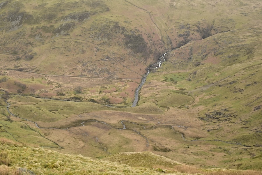
Looking over the fence into the Hobgrumble basin where the water from the surrounding hillsides drains into the gill.
A glimpse of Forces Falls over on the left, with Nab Crag on the right, as we continue our descent.
Another look over towards Hobgrumble gill and its collecting basin. Just behind the rim of the basin is Howes which rises up to what we call High Howes. It all looks very moist across there.
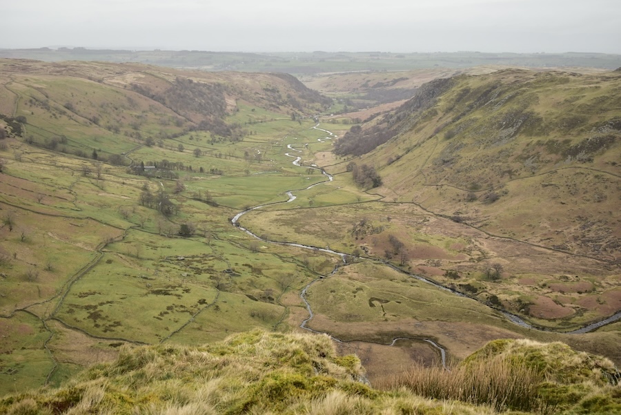
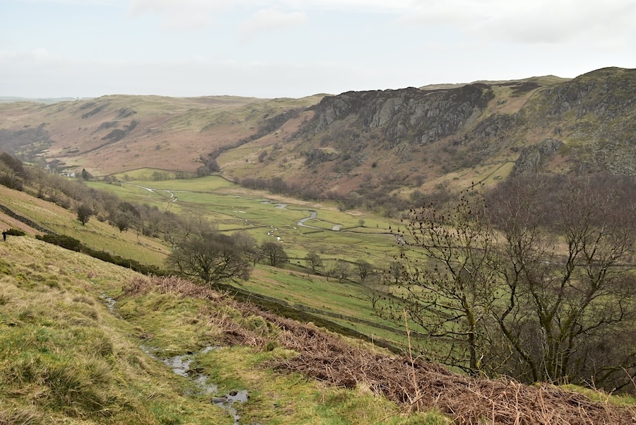
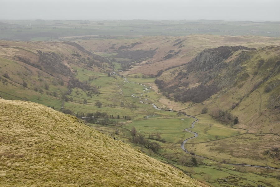
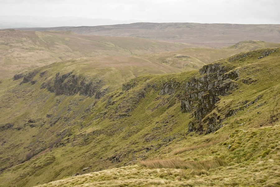
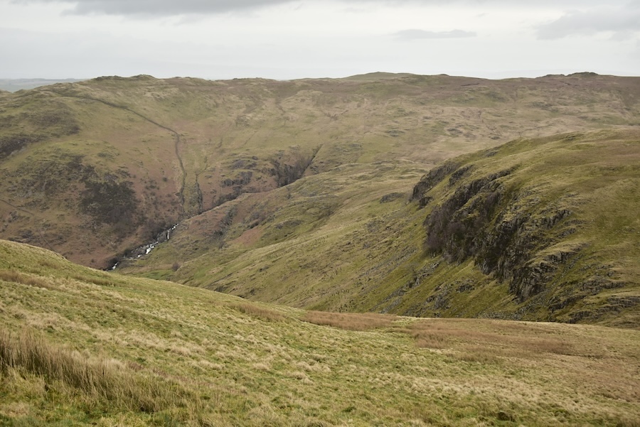
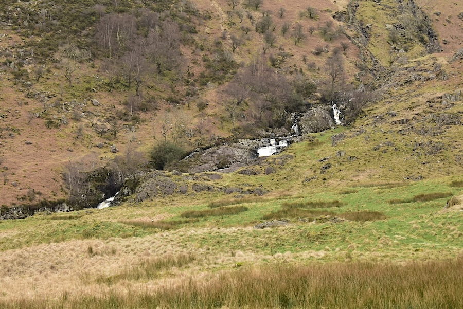
We made a slight diversion over to Great Geordiehead Crag from where there is a fabulous view along Swindale and the beck winding along its length. What a shame that the sunshine went elsewhere.
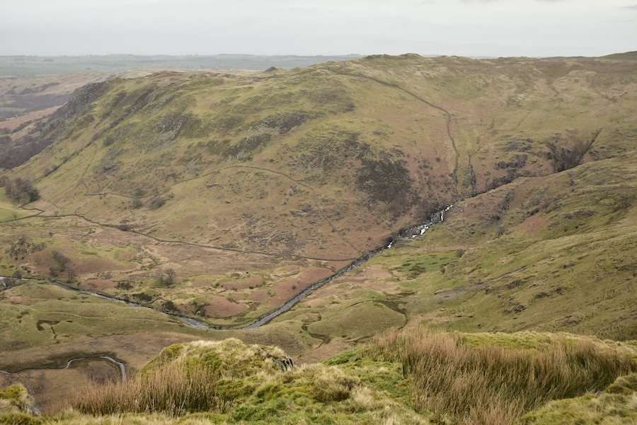
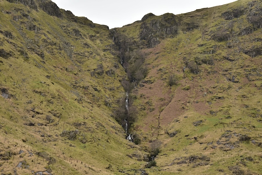
There is also a bird’s eye view of Forces Falls from the same spot …..
….. plus this front row view down to Nab Crag.
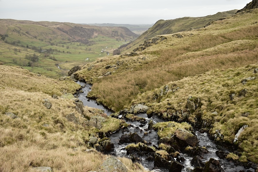
With the sight-seeing done for the time being we made our way down to Hobgrumble Gill for this view of the gill just a few paces back from its steep drop through a narrow gorge down into Swindale.
From the same spot I turned around to take a look at the water coming downstream from the Hobgrumble basin.
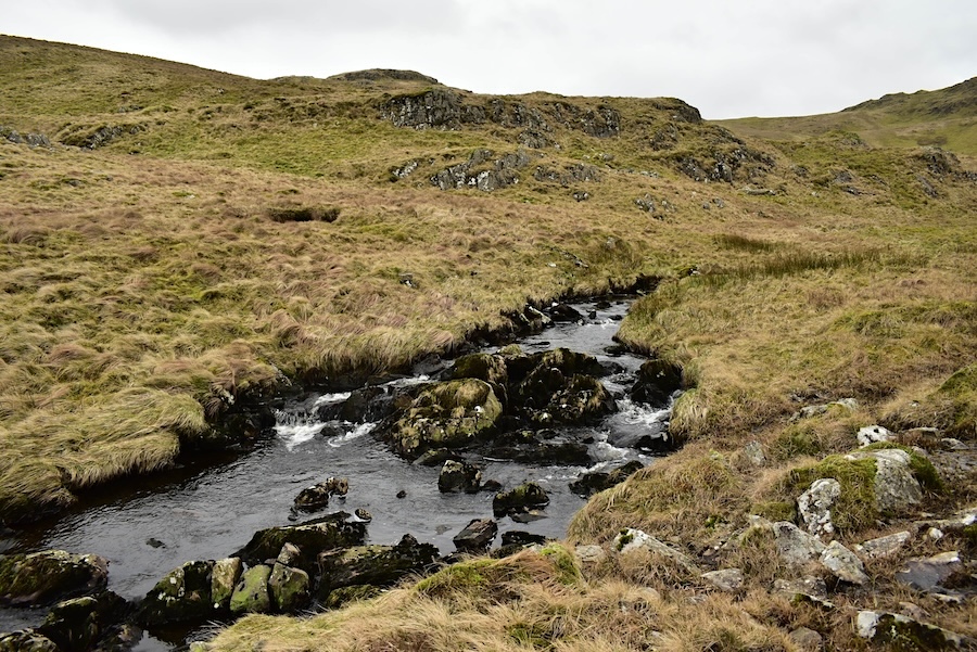
We made our way back to the fence line and after crossing Hobgrumble Gill began our climb up and over Nabs Moor. This is a look back from just a few paces into the climb. The gill was too wide to stride over or risk jumping but fortunately there was a fairly new and sturdy ‘sheep stopper’ style gate across the water so we made use of that to get across.
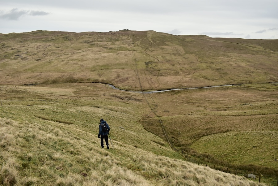
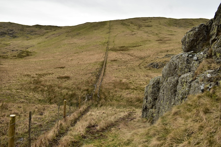
Descending Nabs Moor now and making our way down to the path coming along Mosedale. The fence line continues on the other side of Mosedale Beck and leads up the slopes of High Wether Howe. If you want to see what things are like on the High Wether Howe side take a look at our walk of 19th April 2020 for more information. As we got further down a solo walker appeared making his way down from High Wether Howe, he crossed the beck, turned onto the path we were aiming for and made his way back into Swindale. He was wearing all black clothing which makes him difficult to spot in the photo, even with a zoom in.
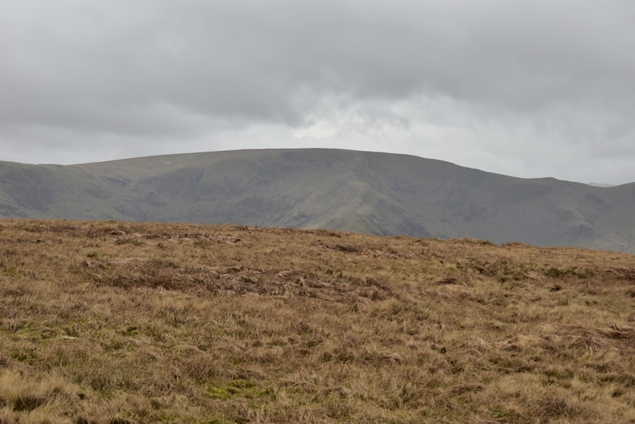
A glance over towards Howes as we walk across Nabs Moor. The light is not improving one iota so the surrounding scenery has a very dreary appearance.
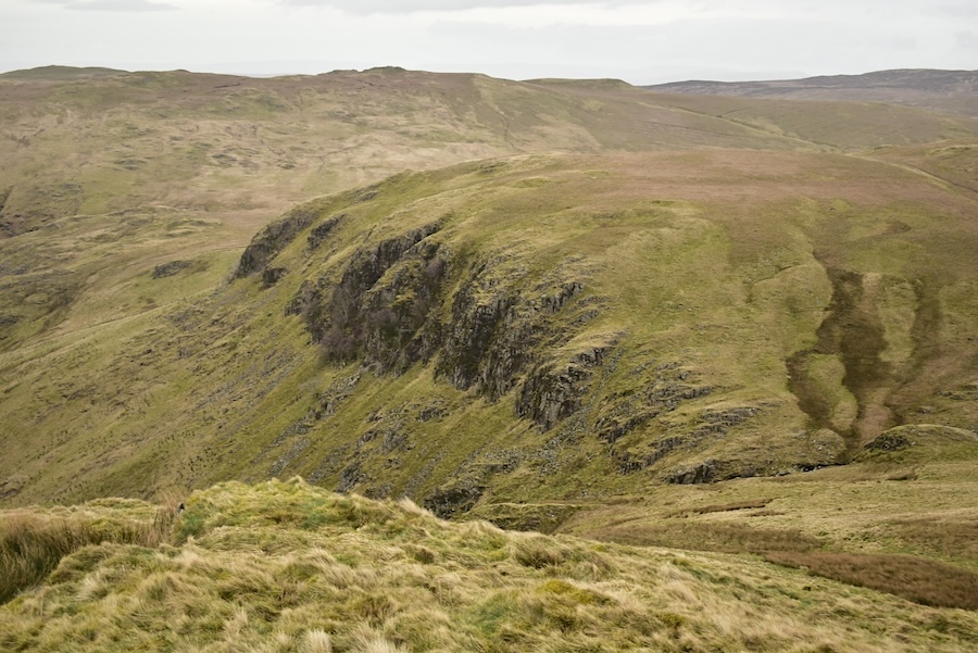
We follow the path around and begin our descent back into Swindale passing below Nab Crag as we do so.
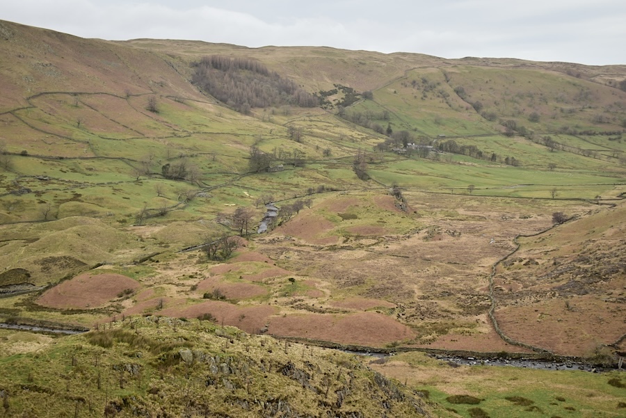
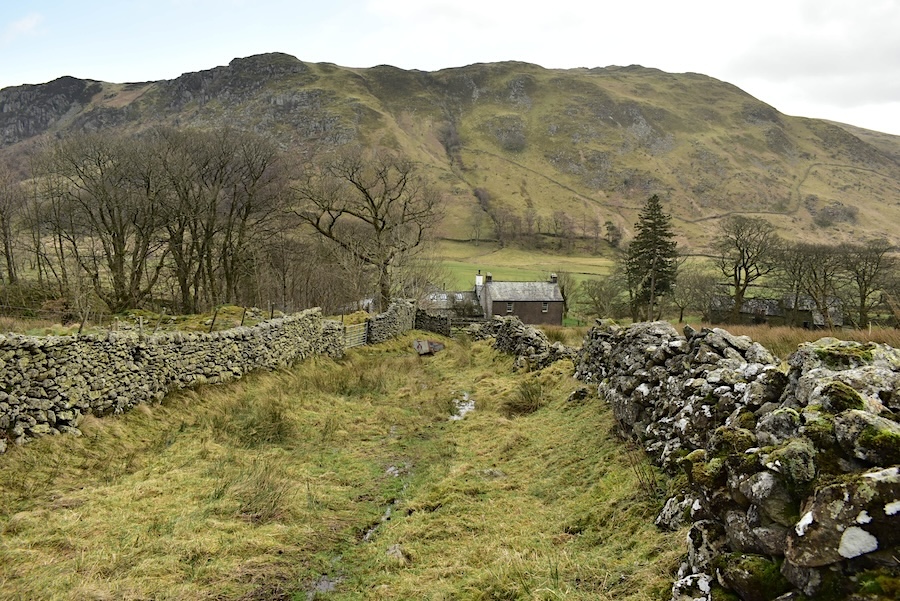
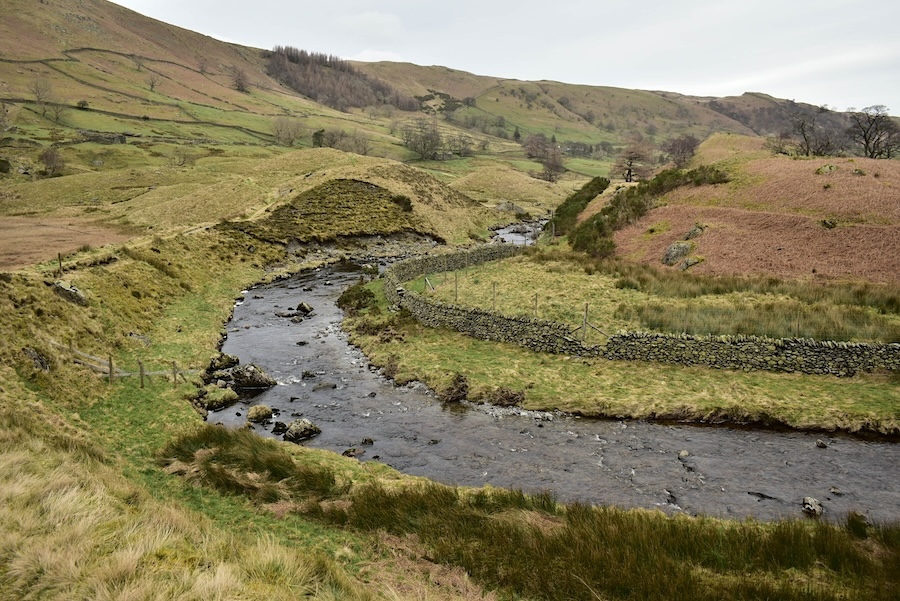
The Swindale drumlins are directly below us and the old corpse road we followed from Swindale Head farm rises up the hillside and curves around the stand of trees which can be seen on the opposite slopes just below the skyline.
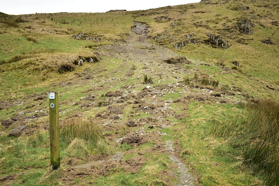
This is looking back up at what looks like a recent landslip which had started much higher up. It had crossed the path we were using and came to a halt just by the signpost indicating the path to Forces Falls. The resulting wet slurry layer was like quicksand if you stepped on it by mistake.
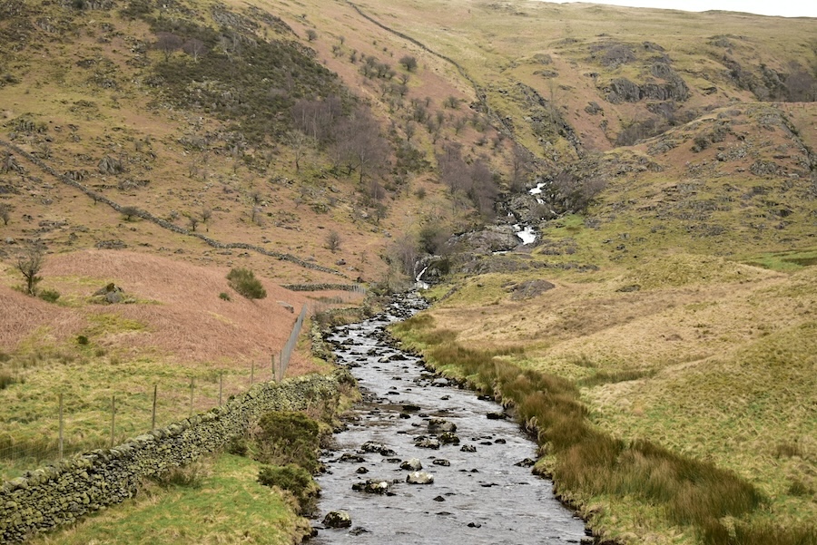
The path we were using doesn’t pass close to the falls but the glimpses we had of the frothing white water indicated a very full beck coming out of Mosedale, which is a very wet place at the best of times.
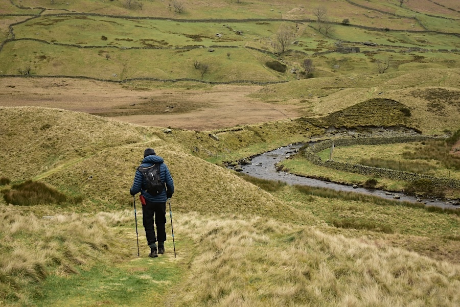
J making his way down the path and through the drumlins which …..
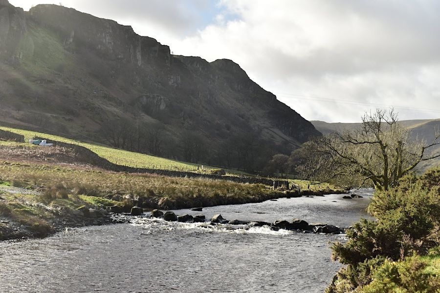
….. the beck, now called Swindale Beck, weaves its way through.
From the bend in the beck a look back along it towards the waterfalls.
As we reach Dodds Bottom on our left is the steep sided gorge through which Hobgrumble Gill is falling.
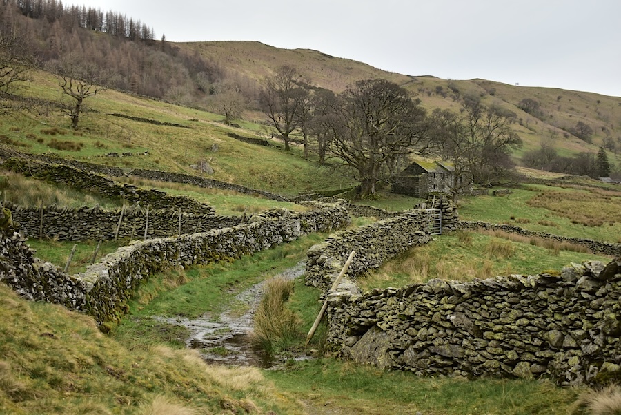
Making our way back towards the Swindale Head barns along the farm lane lined with its lovely ancient walls.
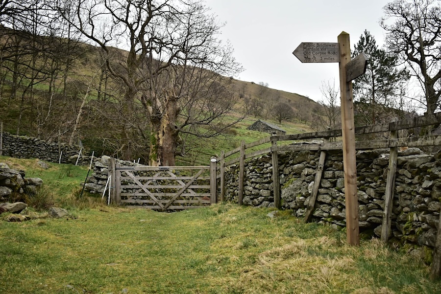
Back at the signpost at Swindale Head for a drinks stop and then …..
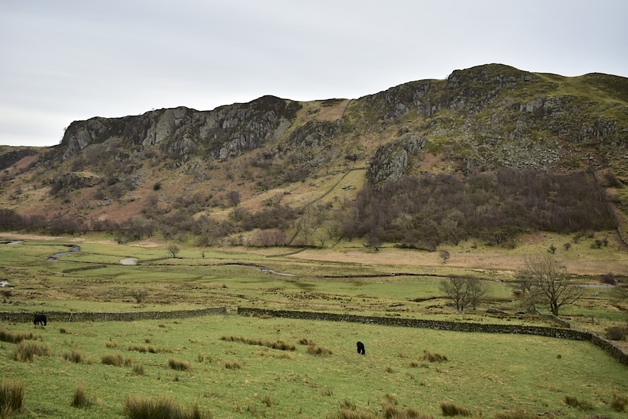
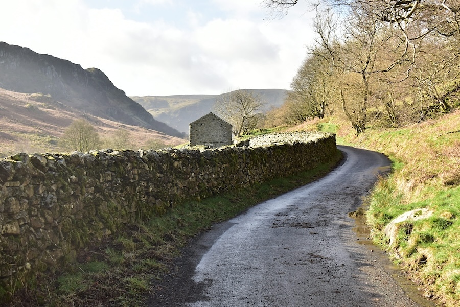
….. we’re back on Swindale Lane making our way back to the car. Across the valley are Gouther Crag (L) and Outlaw Crag (R), both are favourite haunts of rock climbers.
We pass the stepping stones at Truss Gap once again and continue on …..
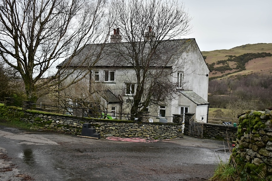
….. to Swindale Foot farm which does appear to still be a working farm although we didn’t see any activity taking place today. Its only a very short distance from here to the parking area so this was the last shot I took. It’ll be great to flop onto the car seats and relax our legs after walking over energy sapping sodden, squelchy ground. All in all it turned out to be a most interesting walk today and looking back perhaps the weather did us a favour. The low light and subdued long distance views gave rise to a change of route which we probably wouldn’t have planned beforehand but which turned out to be a most enjoyable one. At least it didn’t rain on us, unlike today when its been pouring down since lunchtime!